Where in the world is the state of
- Slides: 74
Where in the world is the state of Georgia Essential Question
How do you use maps to gather information? Essential Question
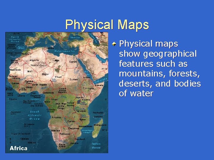
Physical Maps Physical maps show geographical features such as mountains, forests, deserts, and bodies of water
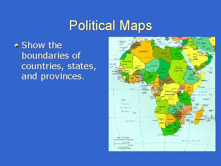
Political Maps Show the boundaries of countries, states, and provinces.
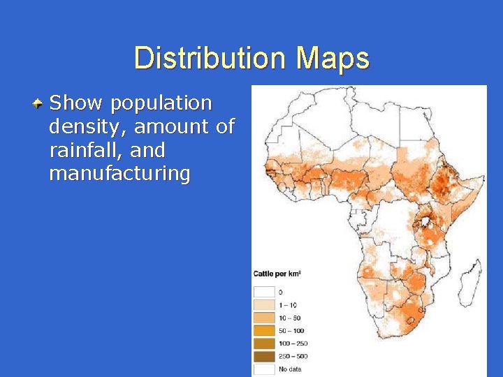
Distribution Maps Show population density, amount of rainfall, and manufacturing
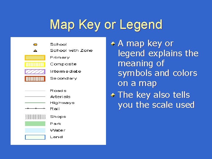
Map Key or Legend A map key or legend explains the meaning of symbols and colors on a map The key also tells you the scale used
Maps and People Maps are useful tools for gathering and displaying information. Think of a map as a picture that can show landforms, population, weather, and economic activities. Maps can put a lot of information into a small space.
Hemispheres The world is divided into 4 hemispheres: (Northern/Southern) (Eastern/Western) Georgia is above the Equator and to the West of the Prime Meridian: : Which two hemispheres can GA be found in?
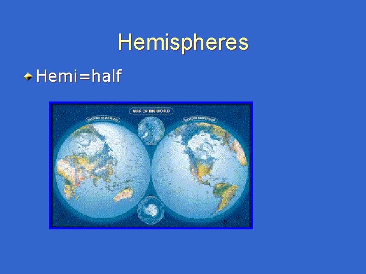
Hemispheres Hemi=half
Continents There are 7 continents in the world: North America, South American, Europe, Asia, Antarctica, Africa, and Australia What continent is Georgia found on?
Nation What nation do you live in? Nation = Country. The definition of nation is A relatively large group of people organized under a single, usually independent government; a country.
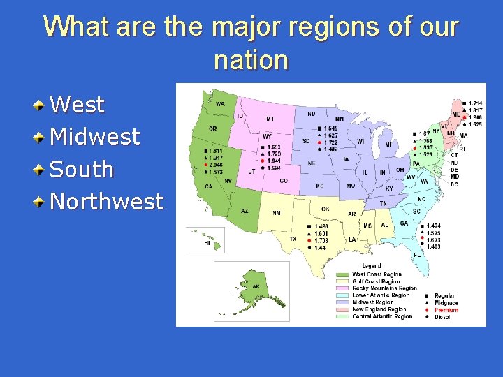
What are the major regions of our nation West Midwest South Northwest
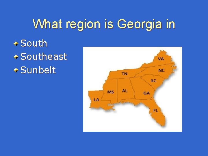
What region is Georgia in Southeast Sunbelt
What makes an area a land region A land region shares 1 or more thing in common. Geographic Region: shares similar land in the same location. Political Region: man made boundaries and government.
What is Absolute Location Absolute location is exact location using latitude and longitude. Always name the latitude coordinates first.
What is relative location Relative location is not exact. Relative location is given in comparison. I live near Kennesaw Mountain
Rural Country Low population Counties of South Georgia
Urban City. High population. New York City.
How would you describe the physiographic regions of Georgia? Essential question
The Land of Georgia is #24 in land area of the 50 states. Georgia has more than 58, 900 square miles of land. 300 miles north to south. 250 miles east to west. ****Alaska is the largest state in the USA, Texas is #2, and Rhode Island is the smallest.
Georgia’s Landforms: land with elevation found on the surface of the earth. Georgia has hills, mountains, valleys, and plains How would you describe the elevation of hills, mountains, valleys, and plains?
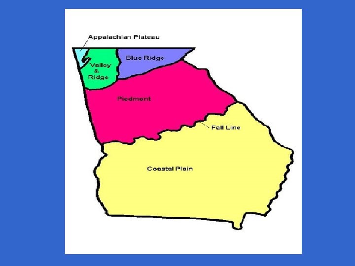
Physiographic Region Physiographic = “physical features. ” A physiographic map is one that shows the earth’s physical features. Book page 458: here is a map of Georgia’s physical features. There are five major regions in Georgia.
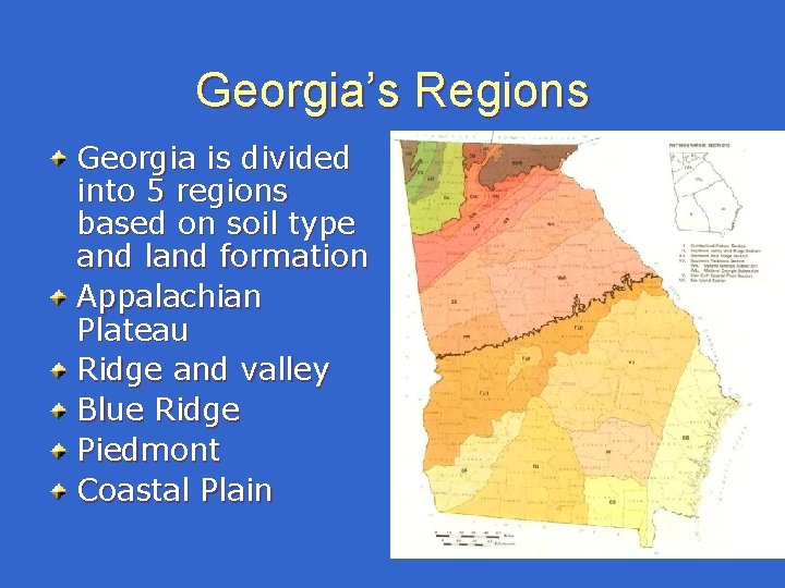
Georgia’s Regions Georgia is divided into 5 regions based on soil type and land formation Appalachian Plateau Ridge and valley Blue Ridge Piedmont Coastal Plain
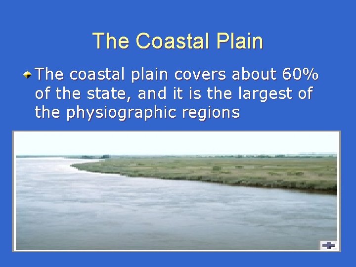
The Coastal Plain The coastal plain covers about 60% of the state, and it is the largest of the physiographic regions
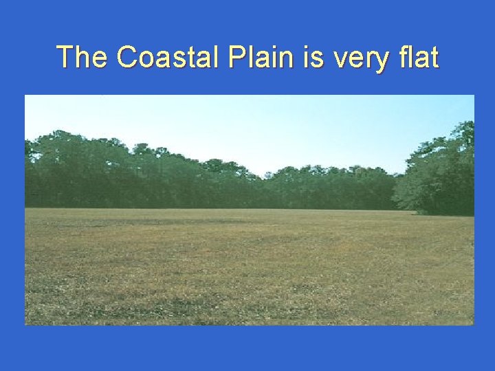
The Coastal Plain is very flat
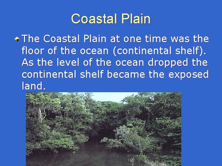
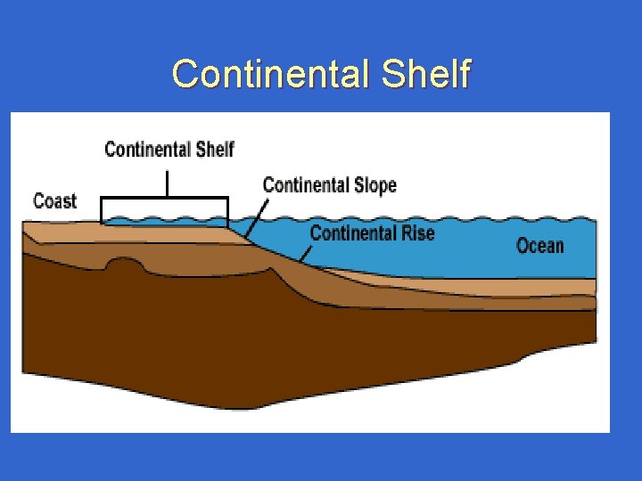
Coastal Plain The Coastal Plain at one time was the floor of the ocean (continental shelf). As the level of the ocean dropped the continental shelf became the exposed land.
Continental Shelf
Coastal plain The coastal plain used to be the floor of the ocean: even today the soil is sandy and fossils of sharks and other sea animals can be found The inner coastal plain has fertile soil. Georgia’s coast is short. It is less than 100 miles long.
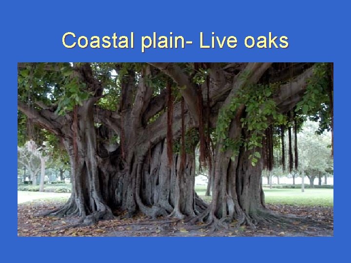
Coastal plain- Live oaks
Coastal Plain is full of many things Swamps Rivers and streams Estuaries (the area around a rivers mouth where fresh and salt water mix) Small chain islands Large coastal islands
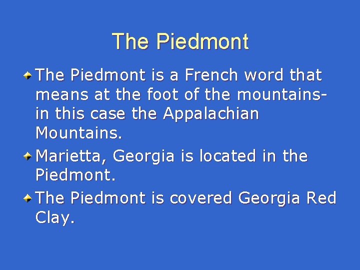
The Piedmont is a French word that means at the foot of the mountainsin this case the Appalachian Mountains. Marietta, Georgia is located in the Piedmont. The Piedmont is covered Georgia Red Clay.
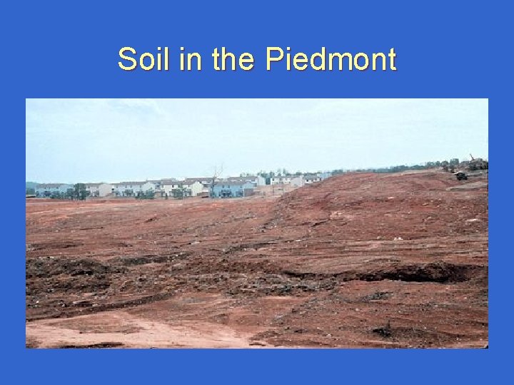
Soil in the Piedmont
The Piedmont is covered in Red Clay soil. Much of the original topsoil was lost to erosion during the time when farming was the main activity. The soil of the Piedmont is clay and rock, and the water supply comes from reservoirs or man made lakes (examples Lake Lanier/ Chattahoochee River/ Lake Allatoona
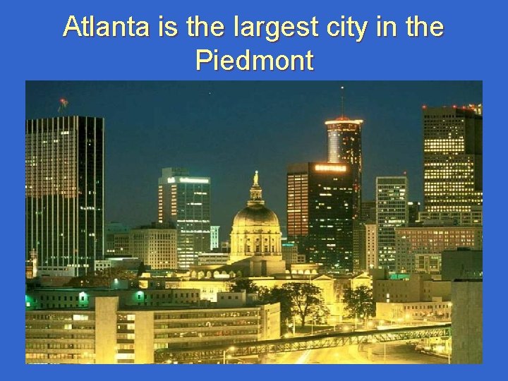
Atlanta is the largest city in the Piedmont
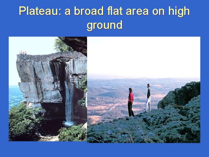
Plateau: a broad flat area on high ground
Appalachian Plateau Georgia’s smallest physiographic region. It is only about 300 square miles in the northwest corner of Georgia. Sand mountain and Lookout mountain can be found in the plateau. Made of sedimentary rock. Forests and pasture land.
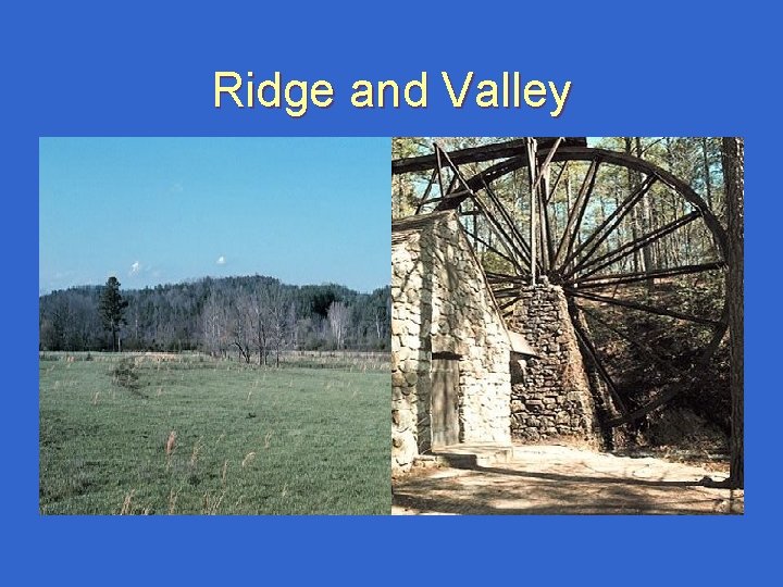
Ridge and Valley
Ridge and Valley Part of a region that stretches from New York to Alabama. It has long ridges and rolling valleys. Elevation ranges from 700 -1600 feet. The land is used mainly forests and pastures.
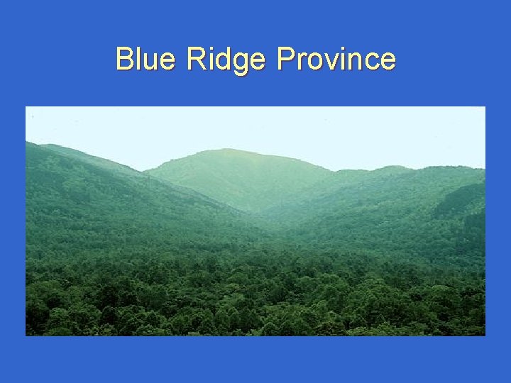
Blue Ridge Province
Blue Ridge Region Part of Appalachian mountains, which stretches from Georgia to Pennsylvania. Brasstown Bald is Georgia’s highest mountain. 4, 784 feet. Many rivers and plentiful rainfall. Only small farms that grow apples and corn.
What are Georgia’s important ecosystems? Essential Question
Georgia’s Key Physical Features Georgia’s ecosystems include – Barrier Islands – Coastal Wetlands (freshwater and saltwater) – Rivers and lakes – Mountains and foothills
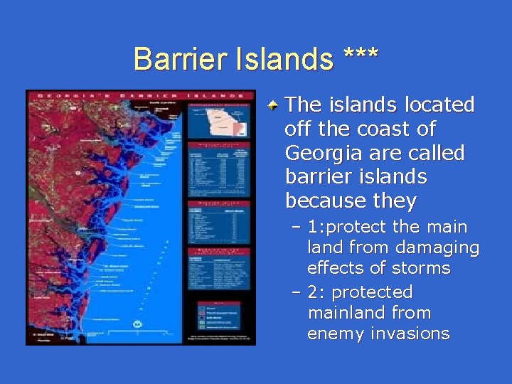
Barrier Islands *** The islands located off the coast of Georgia are called barrier islands because they – 1: protect the main land from damaging effects of storms – 2: protected mainland from enemy invasions
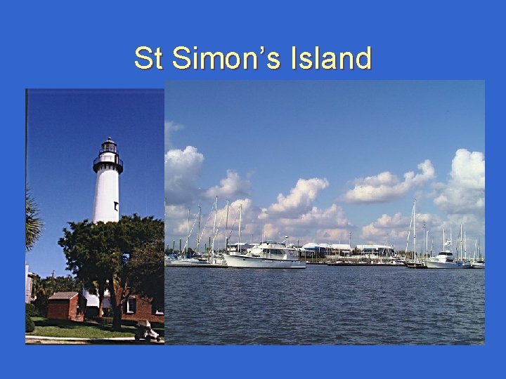
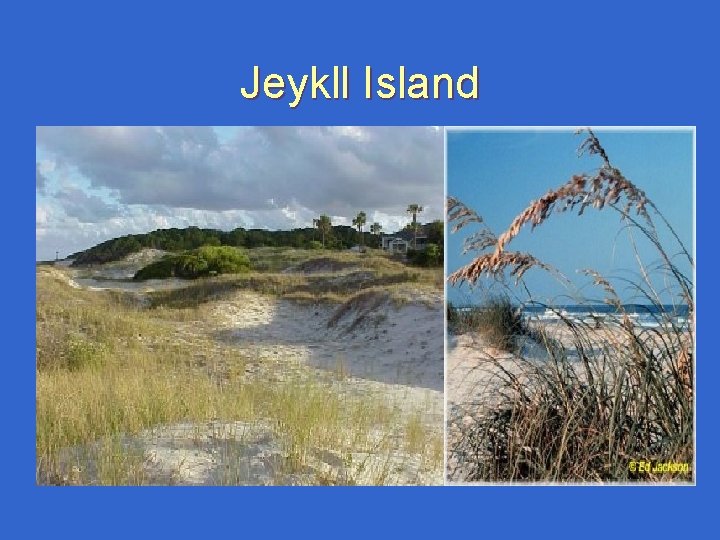
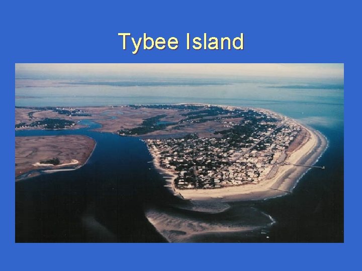
Barrier Islands of Georgia Today the Barrier Islands of Georgia are popular vacation spots. St Simmons: a popular vacation spot and home of James Oglethorpe (founder of GA). Jeykll Island: Once owned by 100 millionaires. Tybee Island: Used for scientific research. Blackbeard Island: Used by the pirate to bury treasure. Sea Island: Location of Cloisters resort, national summit. Cumberland: Largest and best preserved of all the islands.
Barrier Islands connected to mainland St. Simmons, Jekyll, Tybee are all connected to mainland GA. The only way to reach the other Barrier Islands is by boat or helicopter.
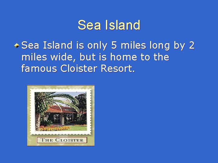
Sea Island is only 5 miles long by 2 miles wide, but is home to the famous Cloister Resort.
St Simon’s Island
Jeykll Island
Tybee Island
Coastal Wetlands A wetland is an area of low lying land covered by water All or Part of the time. Georgia ranks #4 in wetlands. There are two kinds of wetlands – 1: freshwater- found along rivers and streams and near the coast. – 2: saltwater- commonly called marshes.
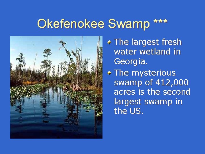
Okefenokee Swamp *** The largest fresh water wetland in Georgia. The mysterious swamp of 412, 000 acres is the second largest swamp in the US.
Fresh Water Wetland*** Twice each day, Atlantic Ocean tides flood coastal rivers, streams, and estuaries. For several hours, the land is covered with salt marsh grass. For several hours the land is covered with salt water. Little vegetation can survive except salt marsh grass. A rich ecosystem (community of living and non living things). Fishing industries are important in this area
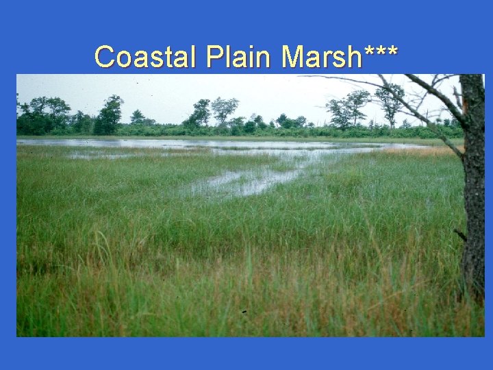
Coastal Plain Marsh***
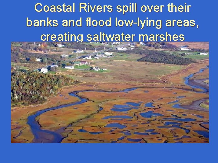
Coastal Rivers spill over their banks and flood low-lying areas, creating saltwater marshes
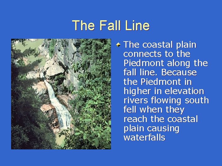
The Fall Line The coastal plain connects to the Piedmont along the fall line. Because the Piedmont in higher in elevation rivers flowing south fell when they reach the coastal plain causing waterfalls
Riverbeds The river bed of the river through the Coastal Plain is sand. That allowed ocean vessels to travel the inland rivers until reaching the fall line. The riverbed through the Piedmont is hard rock called bedrock which does not allow ships passage.
Georgia Cities Built Along the Fall line Columbus Georgia (Chattahoochee River). Macon Georgia (Ocmulgee River). Augusta Georgia (Savannah River).
Mountains **** In the area between the Coastal Plain and the Piedmont; many mountains can be found. Elevation: how high something is from sea level to the top. Slope: the incline of an object measured from base to top.
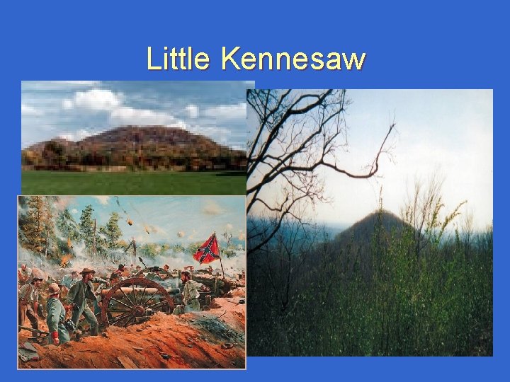
Little Kennesaw
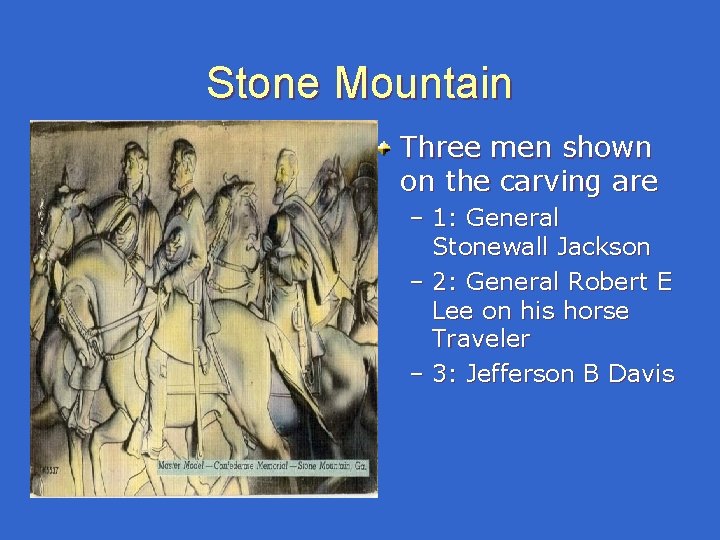
Stone Mountain Three men shown on the carving are – 1: General Stonewall Jackson – 2: General Robert E Lee on his horse Traveler – 3: Jefferson B Davis
Important Rivers Chattahoochee River - forms part of the border between Georgia and Alabama. It flows through Atlanta, and it is part of the border between Georgia and Florida. Have you ever seen the Chattahoochee? Savannah Rivers - forms part of the border between Georgia and South Carolina. St Mary’s River – forms part of the border between Georgia and Florida.
How does climate impact Georgia?
Weather: the day to day changes in the atmosphere. Climate: the average weather conditions over time at least 25 to 30 years.
The climate of Georgia has been important for the growth of Georgia. In recent years, because of Georgia’s location in the area called the “sunbelt” population growth has occurred.
More on Climate was important to the creation of Georgia in 1733. Because GA lay at the same latitude as China, India, and the Mediterranean Sea. England believed GA’s climate would produce silk, tea, and wine grapes.
Military Installations in Georgia Because of Georgia’s climate there are lots of military installations located in Georgia. A warm climate means that outdoor training, flights, and other military operations can go on year round.
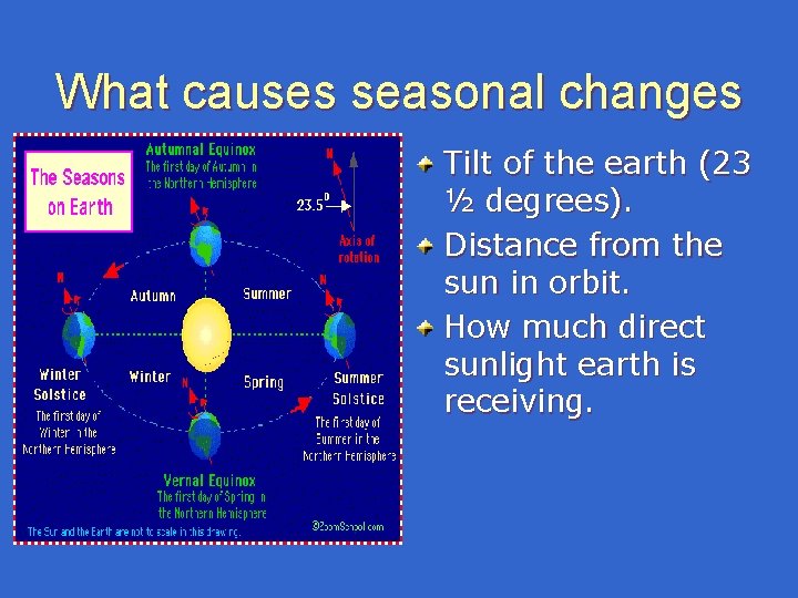
What causes seasonal changes Tilt of the earth (23 ½ degrees). Distance from the sun in orbit. How much direct sunlight earth is receiving.
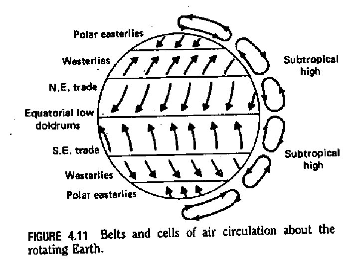
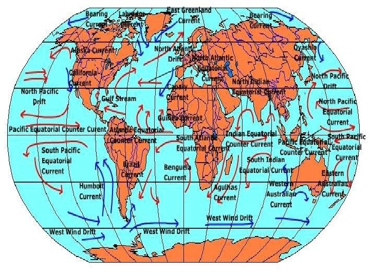
How do air currents effect weather and climate? The temperature of the air around you directly affects the weather. If you live near a warm current, the temps will remain slightly higher.
How do ocean currents effect coastal temperatures? If you live by a warm water current you will have warmer temperatures in the winter and cooler. temperatures in the summer because it takes water a long time to warm up and cool down.
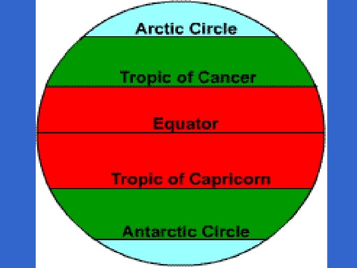
How do latitude and longitude effect temperature? As the degrees of latitude increase, temperatures will decrease The hottest areas on earth are between 0 and 23 ½ degrees