The Minnesota Geospatial Commons State Government Geospatial Advisory


- Slides: 49
The Minnesota Geospatial Commons State Government Geospatial Advisory Council November 8, 2011
Overview • Introduction: The Opportunity David Arbeit, Mn. Geo • What is the Geospatial Commons Mark Kotz, Met Council • The Architecture and the Missing Pieces Tim Loesch, DNR
Data Sharing Services in Minnesota organizations have demonstrated a strong commitment to collaborating to meet their data needs. • Joint data development • “Liberal” distribution policies • Commitment to standards • Organizational relationships • Technology innovations
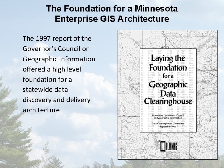
The Foundation for a Minnesota Enterprise GIS Architecture The 1997 report of the Governor’s Council on Geographic Information offered a high level foundation for a statewide data discovery and delivery architecture.
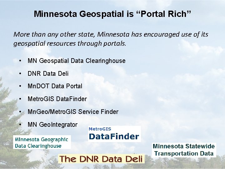
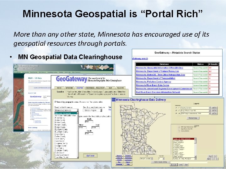
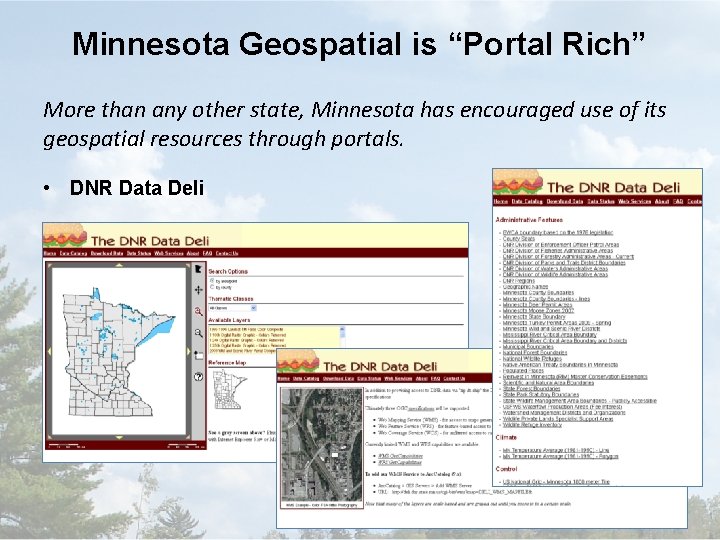
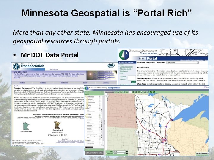
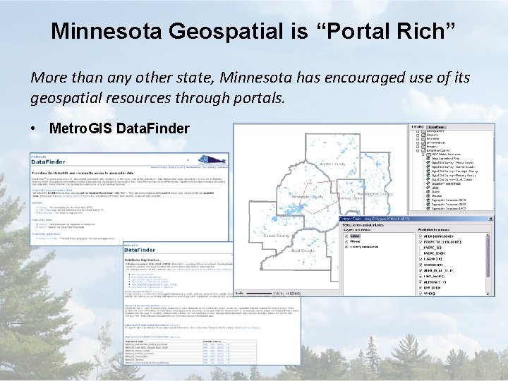
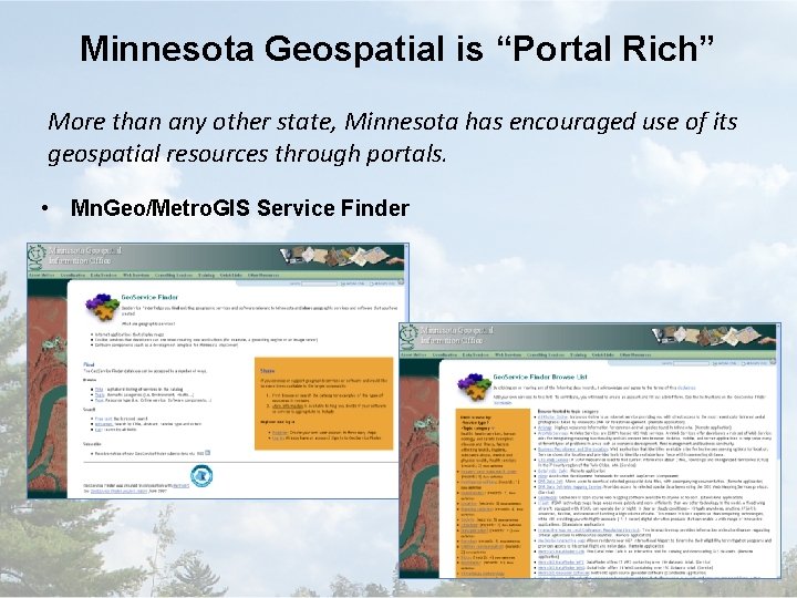
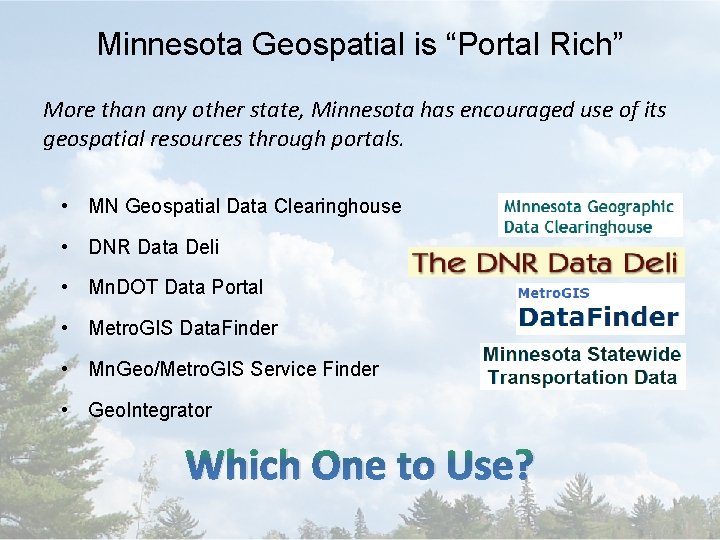
Minnesota Geospatial is “Portal Rich” More than any other state, Minnesota has encouraged use of its geospatial resources through portals. • MN Geospatial Data Clearinghouse • DNR Data Deli • Mn. DOT Data Portal • Metro. GIS Data. Finder • Mn. Geo/Metro. GIS Service Finder • MN Geo. Integrator
Minnesota Geospatial is “Portal Rich” More than any other state, Minnesota has encouraged use of its geospatial resources through portals. • MN Geospatial Data Clearinghouse
Minnesota Geospatial is “Portal Rich” More than any other state, Minnesota has encouraged use of its geospatial resources through portals. • DNR Data Deli
Minnesota Geospatial is “Portal Rich” More than any other state, Minnesota has encouraged use of its geospatial resources through portals. • Mn. DOT Data Portal
Minnesota Geospatial is “Portal Rich” More than any other state, Minnesota has encouraged use of its geospatial resources through portals. • Metro. GIS Data. Finder
Minnesota Geospatial is “Portal Rich” More than any other state, Minnesota has encouraged use of its geospatial resources through portals. • Mn. Geo/Metro. GIS Service Finder
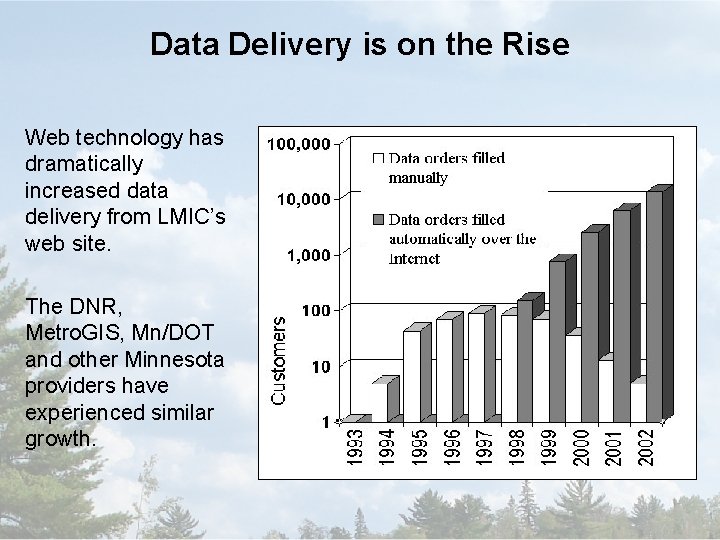
Data Delivery is on the Rise Web technology has dramatically increased data delivery from LMIC’s web site. The DNR, Metro. GIS, Mn/DOT and other Minnesota providers have experienced similar growth.
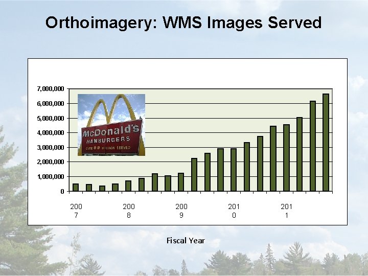
Orthoimagery: WMS Images Served 7, 000 6, 000 5, 000 4, 000 3, 000 2, 000 1, 000 0 200 7 200 8 200 9 Fiscal Year 201 0 201 1
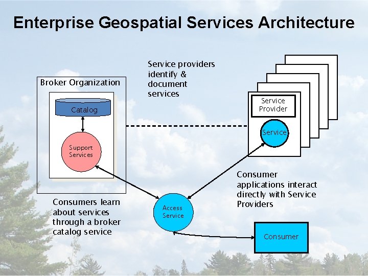
Enterprise Geospatial Services Architecture Broker Organization Service providers identify & document services Catalog Service Provider Service Support Services Consumers learn about services through a broker catalog service Query for Access Service Consumer applications interact directly with Service Providers Consumer
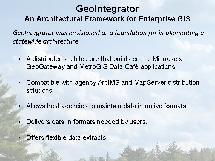
Geo. Integrator An Architectural Framework for Enterprise GIS Geo. Integrator was envisioned as a foundation for implementing a statewide architecture. • A distributed architecture that builds on the Minnesota Geo. Gateway and Metro. GIS Data Café applications. • Compatible with agency Arc. IMS and Map. Server distribution solutions • Allows host agencies to maintain data in native formats. • Delivers data in formats needed by users. • Offers flexible data extracts.
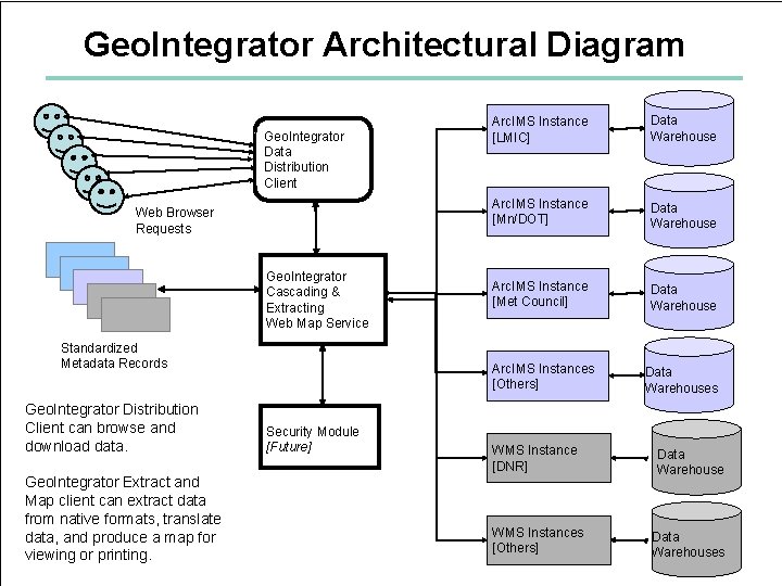
Geo. Integrator Architectural Diagram Geo. Integrator Data Distribution Client Web Browser Requests Geo. Integrator Cascading & Extracting Web Map Service Standardized Metadata Records Geo. Integrator Distribution Client can browse and download data. Geo. Integrator Extract and Map client can extract data from native formats, translate data, and produce a map for viewing or printing. Security Module [Future] Arc. IMS Instance [LMIC] Data Warehouse Arc. IMS Instance [Mn/DOT] Data Warehouse Arc. IMS Instance [Met Council] Data Warehouse Arc. IMS Instances [Others] Data Warehouses WMS Instance [DNR] Data Warehouse WMS Instances [Others] Data Warehouses
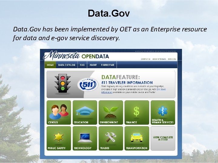
Data. Gov has been implemented by OET as an Enterprise resource for data and e-gov service discovery.
Minnesota Geospatial is “Portal Rich” More than any other state, Minnesota has encouraged use of its geospatial resources through portals. • MN Geospatial Data Clearinghouse • DNR Data Deli • Mn. DOT Data Portal • Metro. GIS Data. Finder • Mn. Geo/Metro. GIS Service Finder • Geo. Integrator Which One to Use?
The Geospatial Commons A next-generation data discovery, distribution and service site that supports the entire enterprise. • MN Geospatial Data Clearinghouse • DNR Data Deli m m o l. C • Mn. DOT Data Portal p s o • Metro. GIS Data. Finder e G a i at • Mn. Geo/Metro. GIS Service Finder n M • Geo. Integrator s n o
Opportunity • Minnesota is rich in geospatial data • Geospatial web services are being shared and used to build complex applications • Popular mapping sites have propelled demand • Geospatial infrastructure is costly to maintain • Existing portals need updating • An enterprise solution is needed to provide highavailability, performance, security, scalability, etc. • Stakeholders are ready for enterprise solutions
What is the “Commons”? • A single place we all go to find and share geospatial resources • Functions?
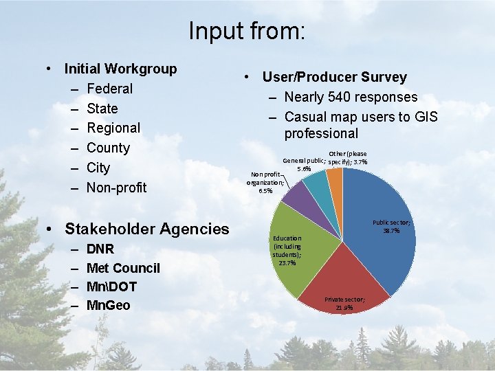
Input from: • Initial Workgroup – Federal – State – Regional – County – City – Non-profit • Stakeholder Agencies – – DNR Met Council MnDOT Mn. Geo • User/Producer Survey – Nearly 540 responses – Casual map users to GIS professional Other (please General public; specify); 3. 7% 5. 6% Non profit organization; 6. 5% Public sector; 38. 7% Education (including students); 23. 7% Private sector; 21. 9%
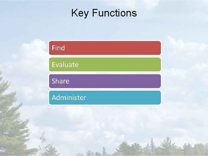
Key Functions Find Evaluate Share Administer
Key Functions - Find • Search – Structured interface – Spatial (e. g. bounding box) – Metadata – Google accessible • Catalog (viewable page) • Registry (back end database)
Key Functions - Evaluate • Metadata viewer • Map viewer • Download data or connect to web services • User Reviews (quality, reliability, etc. ) • Web service monitoring (automated, objective)
Key Functions - Share • Publish – Metadata – Data for download – Services for consumption
Key Functions - Administer • User Accounts • Harvesting • Administrative Policies
Test Implementation • Proof of concept • Defined high level design • Conclusions: – No perfect portal tool exists – customization needed – We can all use one data publishing sites – Launched metadata workgroup (ISO/NAP, services) – Dovetail with state and federal open data initiatives – We need a broker • Commons Workgroup webpage: http: //www. mngeo. state. mn. us/workgroup/commons/
Test Implementation • How does the DNR Fit in? • Participated in the Geospatial Commons • Data Deli is aging • DNR is a microcosm of State Government • Consume and Produce Data • Have infrastructure Expertise
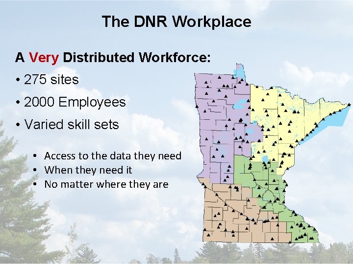
The DNR Workplace A Very Distributed Workforce: • 275 sites • 2000 Employees • Varied skill sets • Access to the data they need • When they need it • No matter where they are
The Challenge • The Data Resource Site (DRS) – Enterprise GIS V 1. 0 – Structured set of data, metadata and software – Deployed in 2002 – Arc. View 3 x and Arc/Info (not Arc. GIS) – Coverages, Librarian and Shapefiles – AMLs, Avenue and VB 6 – Hub and Spoke replication
The Challenge • “The Times They are a Changin’. . . ” – GIS science advances – GIS software upgrades – New technologies developed – Data formats evolve – Personnel evolves/revolves • Must be responsive to all of these
The Challenge • And then along came…. – Arc. GIS 10 • VB 6 no longer supported • New Data Structures • File Geodatabase API – DNR has strong ties to Open. Source Software – Data Deli is aging – Geospatial Commons Project
Where do we go from here? • Our Charge at the DNR Build a DNR Enterprise Geo. Information System • Ulterior motive build a framework that allows DNR to share and exchange information with other entities
THE GEOSPATIAL DATA RESOURCE SITE
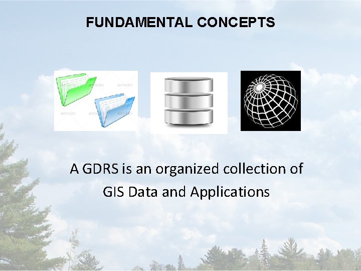
FUNDAMENTAL CONCEPTS A GDRS is an organized collection of GIS Data and Applications
FUNDAMENTAL CONCEPTS A GDRS is self documenting
FUNDAMENTAL CONCEPTS GDRSs can relate to one another
FUNDAMENTAL CONCEPTS A GDRS exists within an ecosystem
GOALS
GOALS Flexibility
GOALS Standards Based
GOALS Inter-organizational orientation
SYSTEM ARCHITECTURE Publishing and Sharing
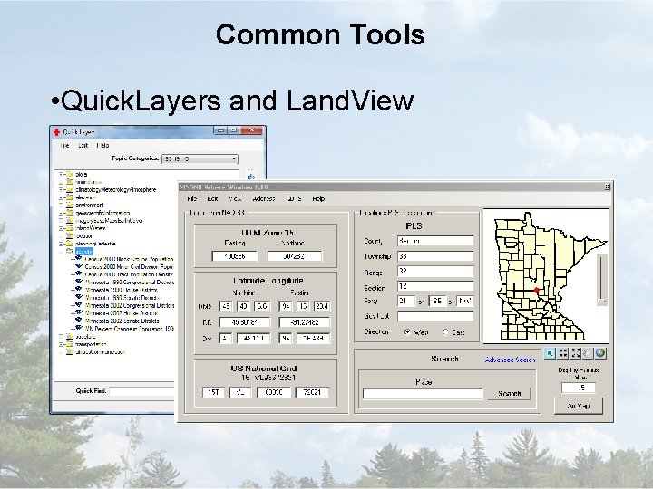
Common Tools • Quick. Layers and Land. View
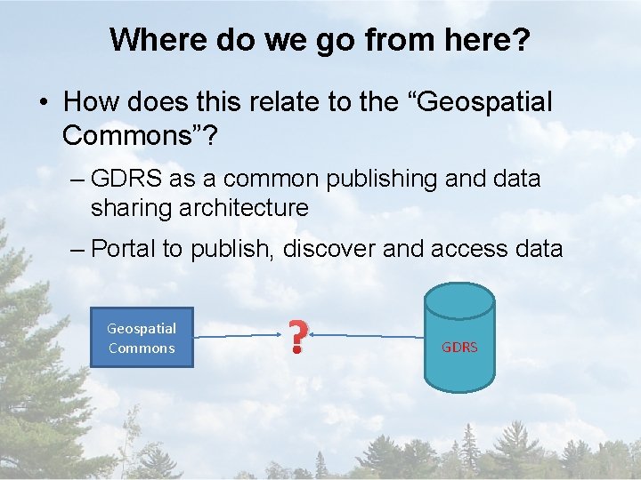
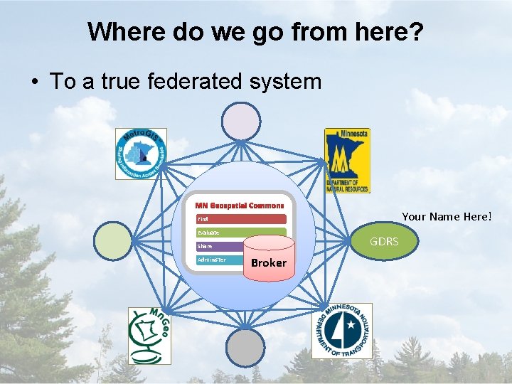
Where do we go from here? • How does this relate to the “Geospatial Commons”? – GDRS as a common publishing and data sharing architecture – Portal to publish, discover and access data Geospatial Commons ? GDRS
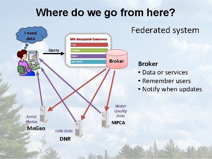
Where do we go from here? • What’s Missing…. . – Geospatial Broker • Database and API – – Data publishers Reliability (web services) Facilitate Updates (file based) Security (Roles and Groups) – Minnesota State GIS Enterprise Conceptual Architecture Design (2005)
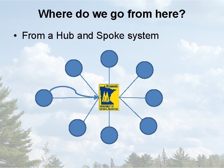
Where do we go from here? • From a Hub and Spoke system
Where do we go from here? Federated system I need data MN Geospatial Commons Find Query Evaluate Share Administer Water Quality Data Aerial Photos Mn. Geo Broker MPCA Lake Data DNR Broker • Data or services • Remember users • Notify when updates
Where do we go from here? • To a true federated system MN Geospatial Commons Your Name Here! Find Evaluate GDRS Share Administer Broker