The Four Regions of Texas The Four Regions


 have a combined")
- Slides: 33
The Four Regions of Texas
The Four Regions n Coastal Plains n North Central Plains n Great Plains n Mountains & Basins
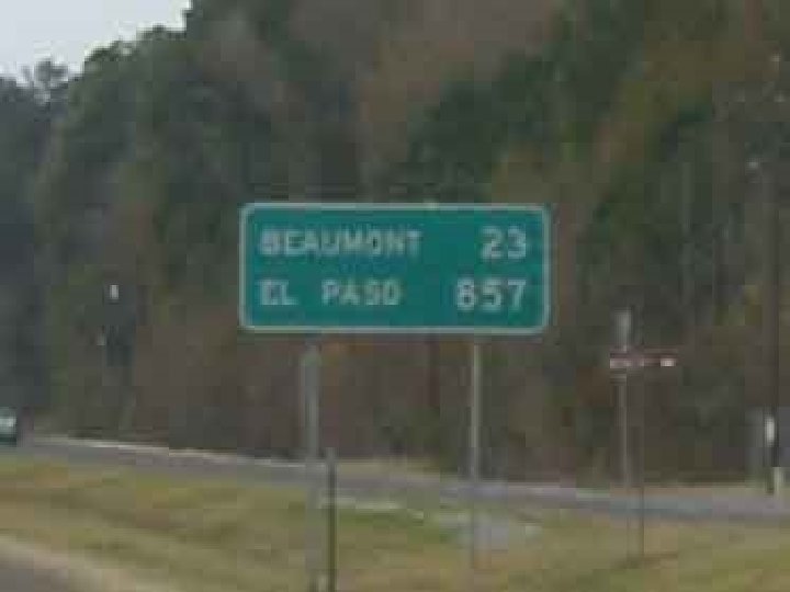
Welcome to Texas 267, 277 square miles to be exact. v Texans living in El Paso are closer to Los Angeles, California than to fellow Texans in Texarkana. v Texarkana is closer to Chicago, Illinois than to El Paso. v Texas has deserts, swamps, plains and tropical regions. You can see mountains, deep canyons, rolling hills and seacoast. v v. You gotta love it!
The Four Regions 2. Hot summers and mild winters characterize Texas’ climate. n 3. Rainfall varies from 8” in the west to more than 50” in the east. n 4. Boerne is located in the Great Plains Region, of which the Hill Country is a part. n
The Coastal Plains 1. Largest- region in Texas 2. The population in this area is the largest of all the regions
3. The Balcones Escarpment forms the border between the Gulf Coastal Plains and the Great Plains 4. Elevation: 0 -1000 ft. n
Coastal Plains 5. Vegetation: large prairie, pine trees, post oak belt
6. Farming Economy: cattle industry, fruits and vegetables grown in this area; South Texas: The Winter Garden or The Valley Crops can be grown all year long
Coastal Plains 8. The area in that contains pine trees is called the PINEYWOODS
9. Major Cities: San Antonio, Houston, Dallas, Brownsville, Corpus Christi, Galveston, Austin, Waco
Other Information n n n Houston is the second largest sea port in the U. S. Overall the region is good for growing crops. Oil & Natural gas are found in this region Big tourist spots Most rainfall in Texas All major rivers except the Pecos & Canadian Rivers flow through this region
North Central Plains 1. Ends at the Caprock Escarpment and is in a small part of the Texas Panhandle 2. Elevation: 1000 -2200 ft. Caprock Escarpment
North Central Plains 3. Describe the land: rolling & hilly with buttes & mesas in the southern part
4. Describe the vegetation: Grassland cross timbers
5. Farming economy: Cotton and wheat
6. Major cities: San Angelo, Ft. Worth, & Abilene
Other Information n n Home to Air & Auto manufacturing Region begins in Canada and covers much of central USA
Great Plains 1. Describe the land: large stretches of flat & rolling; rises in elevation from east to west 2. The northern section of Texas is the High Plains which occupies most of the Panhandle. 3. Rivers have carved out deep canyons including Palo Duro Canyon and the Canadian Breaks. Palo Duro Canyon
Great Plains 4. Why is part of this region known as the Staked Plains? When settlers were moving in they had to use wooden stakes to mark where their land began and ended.
5. The two major land forms in this region are: Edwards Plateau and the Llano Estacado.
Great Plains 6. Economy is based on grazing cattle, sheep, & goats , as well as some farming. 7. Vegetation consists mainly of grassland. Llano Estacado
8. Major cities include: Amarillo, Lubbock, Midland/Odessa, & Boerne
Additional Information Birthplace of Lyndon Baines Johnson n Contains the Ogallala & Edwards Aquifer n Pink granite from Marble Falls was used to build the Capitol in Austin n
Mountains & Basins 1. The Mountains & Basins region is located in West Texas. 2. Describe the land : Mountains extend through much of this region with flat desert areas around it. 3. Guadalupe Peak is the highest point in Texas at 8, 751 feet. Guadalupe Peak
4. Other major mountain ranges include: Davis, Chalk, Glass & Chisos Mountains.
Chisos Mountains
Mountains and Basins 5. The major rivers that runs through this region are the Rio Grande and the Pecos. Rio Grande
6. Big Bend National Park is located in this region. Cattail Springs
7. Describe the vegetation in this region: cacti, mesquite, in higher elevations-forests
8. Major Cities: El Paso
Additional Information n Much of the economy is based on clothing manufacturing due to the cheap labor from Mexico
Additional Information § El Paso & Ciudad Juarez, Mexico (sister cities) have a combined population of 2 million people