Texas Eco Regions Texas has 10 unique ecoregions


- Slides: 22

Texas Eco Regions

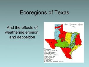
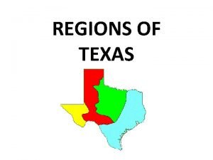
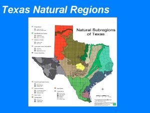
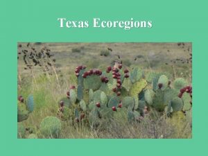
Texas has 10 unique ecoregions

Piney Woods – Characterized by forests dominated by pine and oak trees – This ecoregion extends into Louisiana, Arkansas, and Oklahoma – Average annual rainfall of 36 -50 inches – Soil is mostly acidic and is generally sandy or sandy loam – Elevation ranges from 200 -500 feet – Humidity and temps are generally high – Timber and cattle production are the most important industries

Piney Woods

Gulf Prairies and Marshes – Less than 150 feet in elevation, close to sea level – Average annual rainfall of 30 -50 inches – Characterized by salt marshes, barrier islands, beaches, bays and estuaries, and tall grass prairies – High humidity and temps almost year round, growing season is approximately 300 days – Soil is sandy, or sand/loam and acidic – This ecoregion suffers the most from human impact on the environment

Gulf Prairies and Marches

Post Oak Savannah – This region is a transitional area that used to be called the “Cross Timbers” region – Average rainfall is 28 -40 inches – Soil is acidic and sandy or sandy/loam – Elevation of 300 -800 feet – Characterized by strips of prairie mixed with strips of oak forest

Post Oak Savannah

Blackland Prairies – Mostly grasses, very little trees – Black, fertile soils that are alkaline and clay-like – Average rainfall of 28 -40 inches – Elevation is from 300 -800 feet – Crop production and cattle ranching are the primary industries

Blackland Prairies

Crosstimbers – Made up of an irregular mix of plains and forests, similar to the Post Oak Savannah – Rainfall is erratic, but usually moderate – Soil is primarily sandy or sandy/loam – Weather and climate is erratic in this region due to three major air masses meeting in the region, causing “random” weather patterns

Crosstimbers

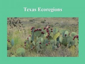
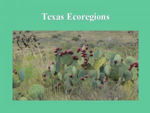
South Texas Plains – Characterized by thorny shrubs and trees, cactuses, palms and sub-tropical woodlands – Average rainfall is 20 -32 inches – Soil is alkaline and clay or clay/loam – Many species that occur in Mexico that are sub-tropical or desert species are also able to survive in this region due to similar conditions – This region has gone through a lot of environmental changes due to human impact

South Texas Plains

Edwards Plateau – This region is commonly known as “Texas Hill Country” – Average annual rainfall of 15 -34 inches – Soil is shallow and consists of many textures and types – This region is home to many rare plant and animal species, some of which are found nowhere else on Earth such as the Plateau Live Oak and blind salamander – Elevation ranges from 100 -3000 feet – Lots of caves and cavern systems due to limestone acidification and erosion – Edwards Aquifer is a system of underground lakes, important to Texans because one of the largest water resources in the state

Edwards Plateau

Rolling Plains – Characterized by rivers that have cut canyons into the landscape, many species are similar to ones found in the Rocky Mountains such as bighorn sheep, pronghorn antelope, pumas, and black bears – Average annual rainfall is 20 -28 inches – Soils range from sandy to clay-loam – Much of this ecoregion is home to buffalo grass due to over-grazing – Elevation ranges from 800 -3000 feet – Cattle ranching is the primary agricultural industry in this region

Rolling Plains

High Plains – This region is the southern portion of the Great Plains region of the US – Elevation 3000 -4500 feet – Average annual rainfall is 15 -22 inches – Soil is clay-like in the North and more sandy in the South – Playa lakes (depression in the land that hold rainfall and create seasonal lakes) are common in this region and host many migratory specie of birds – This area is most prone to droughts

High Plains

Trans-Pecos – This region is the most complex of all the ecoregions – Characterized by desert valleys, woodlands, mountain ranges, and plateaus – Davis Mountains, Guadalupe Mountains, and Chisos Mountains are just a few mountain ranges in TX – Elevations ranges from 2500 -8751 feet (Guadalupe Peak in the Guadalupe Mountains is the highest point in TX) – Soil is sandy and alkaline – This region is also known as “Big Bend Country” – Average annual rainfall is less than 12 inches

Trans-Pecos
 Ecoregions of texas
 Gradientes rm
 Piney woods erosion
 Weathering erosion
 Coastal sand plains weathering erosion and deposition
 Deposition
 Pineywoods ecoregion
 Unique id texas
 Map of texas landforms
 Texas north central plains animals
 Regions of texas
 The seven regions of texas
 Regions in texas
 Landmarks in north central plains of texas
 Geographic features in texas
 Regions of texas
 Rivers in the mountains and basins region of texas
 Blanco blind salamander
 How many regions in texas
 North central plains texas map
 Northern tip of india
 The virtex 5 fx130t has _____ clock regions
 Umberto eco comics
