Californias Amazing 4 regions Coast Desert Central Valley







- Slides: 44
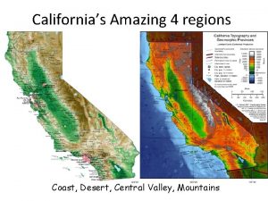
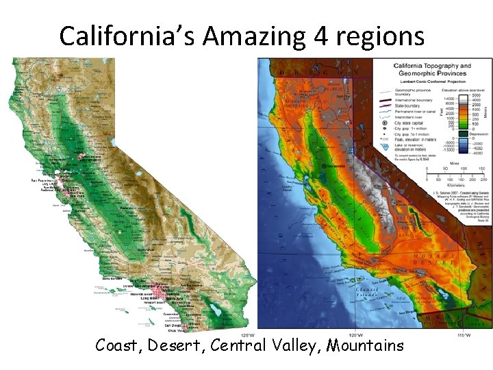
California’s Amazing 4 regions Coast, Desert, Central Valley, Mountains
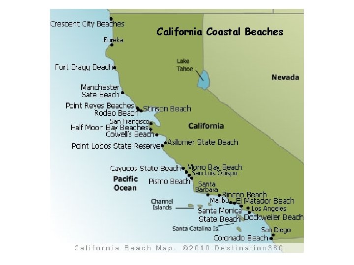
California Coastal Beaches
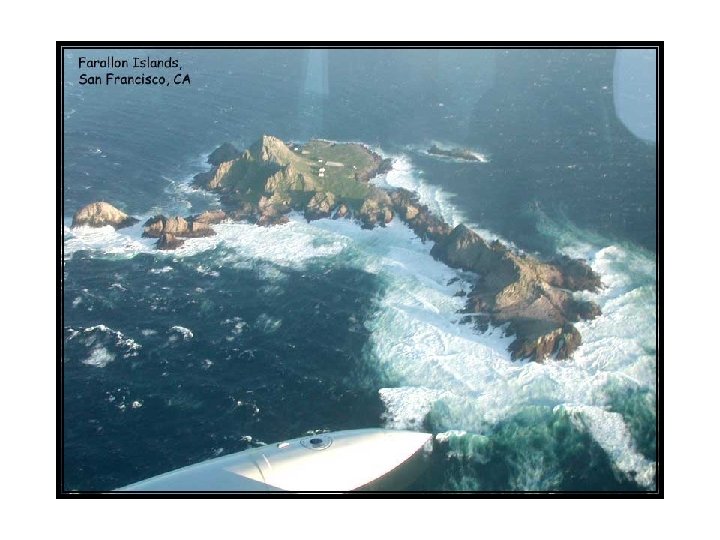
California Coast • 800 miles along the west coast of the United States and the Pacific Ocean. • Northern Coast has mountains and steep rocky cliffs at its shoreline • Southern Coast has plains with sandy beaches. • Natural Harbors, San Francisco Bay, Monterey Bay, & San Diego Bay. • Valleys in coastal mountains have rich soils great for farming. North of San Francisco are the Napa & Sonoma Valleys, known for wines. South of San Francisco are the Santa Clara & Salinas Valleys known for food crops. • Island chains; North: Farallon Islands, South: Channel Islands.
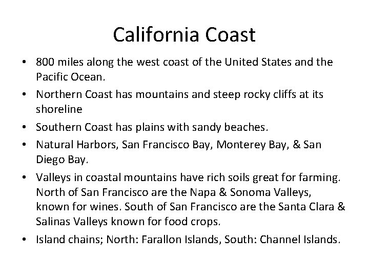
Northern California Coast Mendocino shoreline Steep rocky cliffs and beaches in the northern coast region. Humboldt Coastline
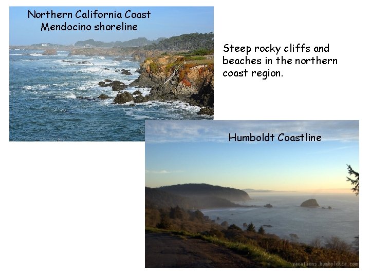
Klamath River Coastal overlook Patrick’s point north of Eureka
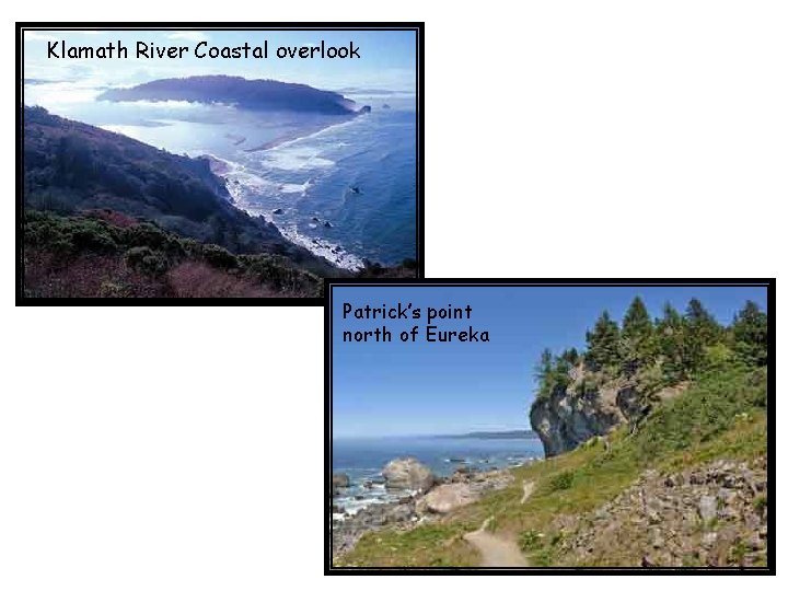
Goat Rock Beach, Sonoma County
Redwoods
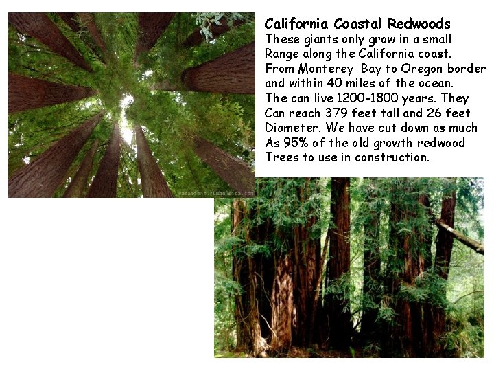
California Coastal Redwoods These giants only grow in a small Range along the California coast. From Monterey Bay to Oregon border and within 40 miles of the ocean. The can live 1200 -1800 years. They Can reach 379 feet tall and 26 feet Diameter. We have cut down as much As 95% of the old growth redwood Trees to use in construction.
Pt. Reyes North of San Francisco Pt. Reyes Lighthouse
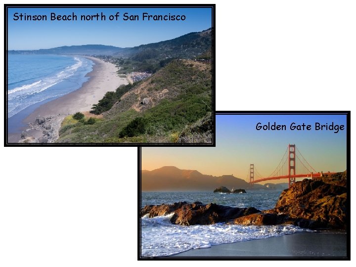
Stinson Beach north of San Francisco Golden Gate Bridge
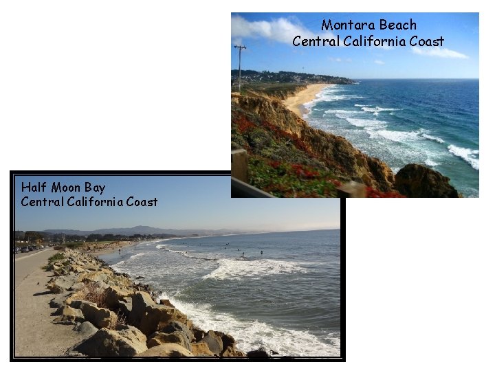
Montara Beach Central California Coast Half Moon Bay Central California Coast
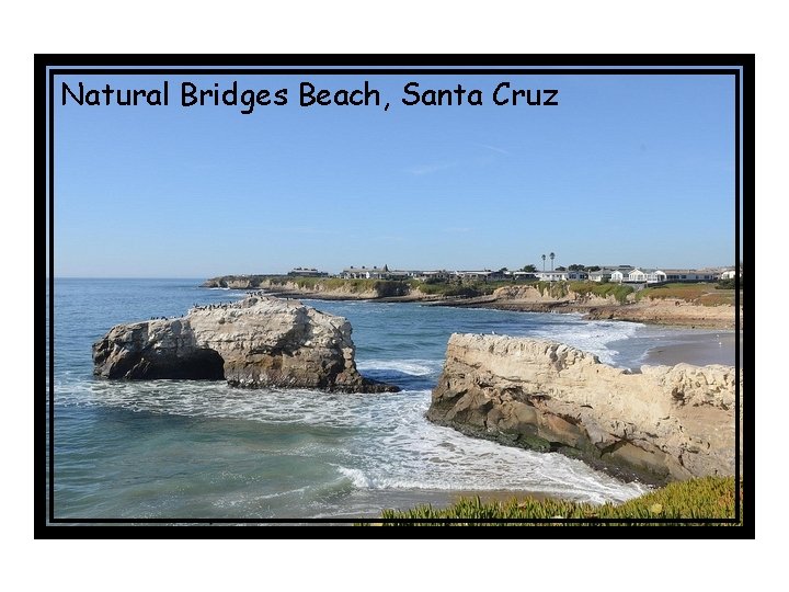
Natural Bridges Beach, Santa Cruz
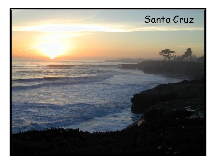
Santa Cruz
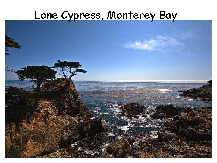
Lone Cypress, Monterey Bay
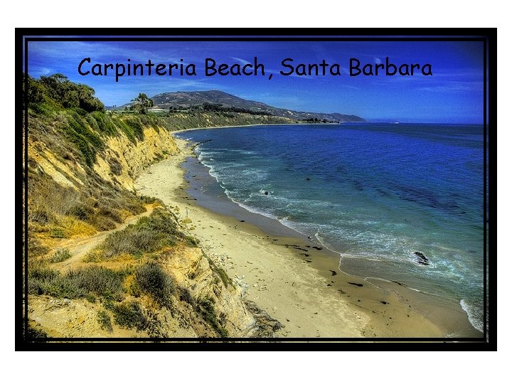
Carpinteria Beach, Santa Barbara
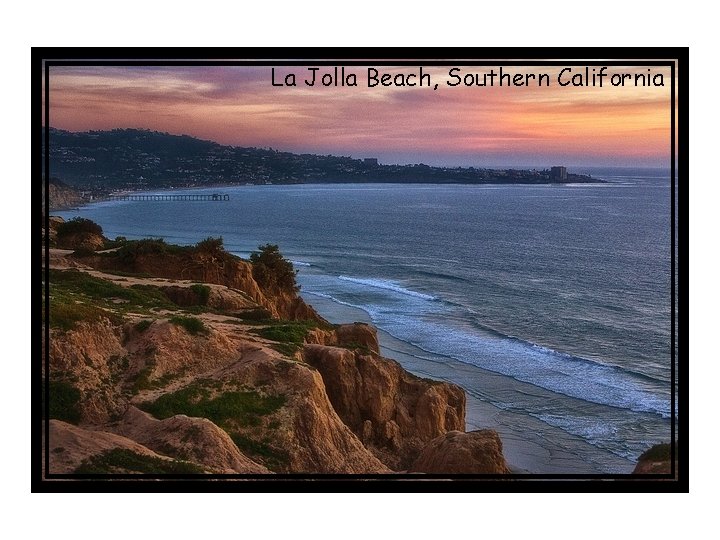
La Jolla Beach, Southern California
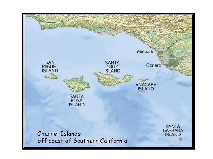
Channel Islands off coast of Southern California
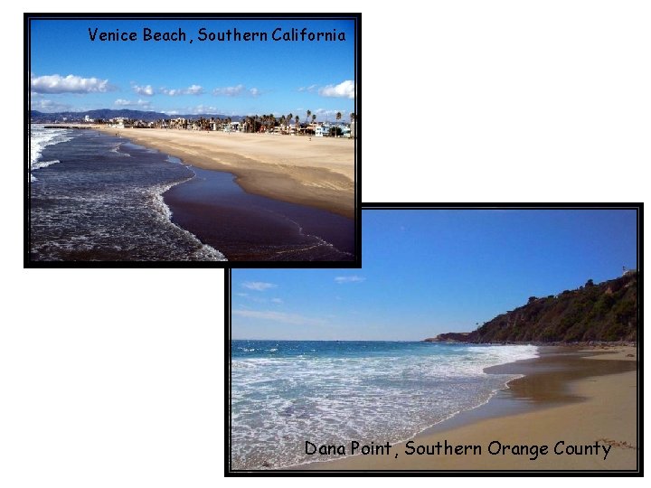
Venice Beach, Southern California Dana Point, Southern Orange County
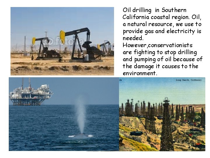
Oil drilling in Southern California coastal region. Oil, a natural resource, we use to provide gas and electricity is needed. However, conservationists are fighting to stop drilling and pumping of oil because of the damage it causes to the environment.
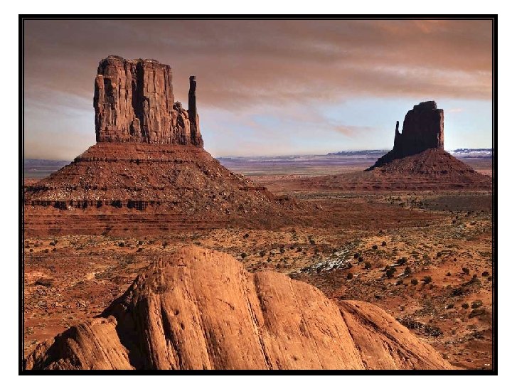
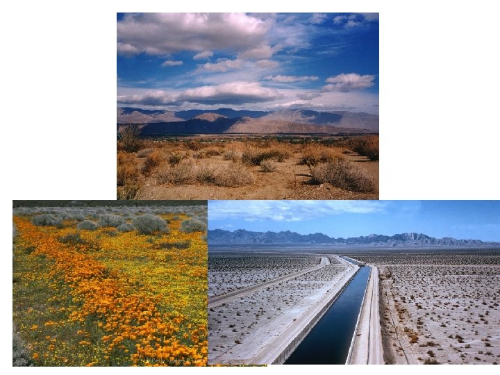
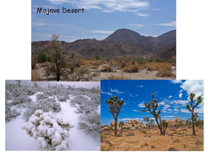
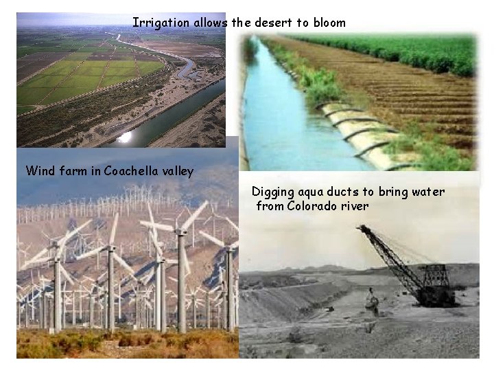
California Desert Region covers the southeastern part of California. It includes the Mojave Desert, known as the high desert with elevations to 11. 918 feet and the lowest point in the western hemisphere, Death Valley, 282 feet below sea level. Even though it is extremely dry in the Colorado desert region, there is farming in the Imperial and Coachella Valley because they use irrigation to bring in water
Poppy Field
Mojave Desert
Irrigation allows the desert to bloom Wind farm in Coachella valley Digging aqua ducts to bring water from Colorado river
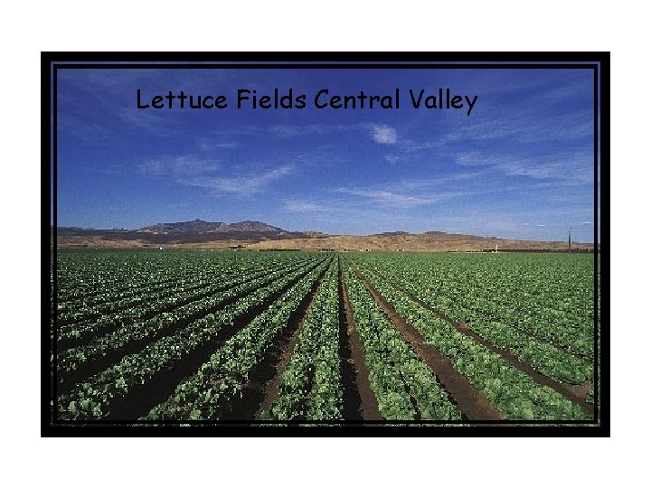
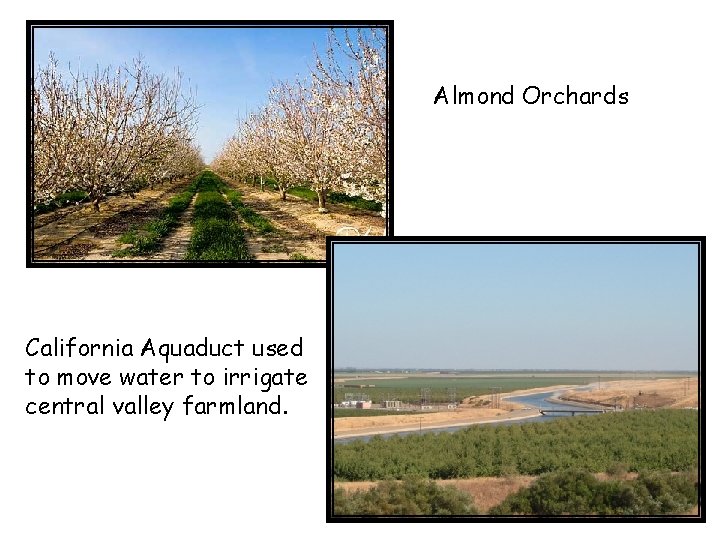
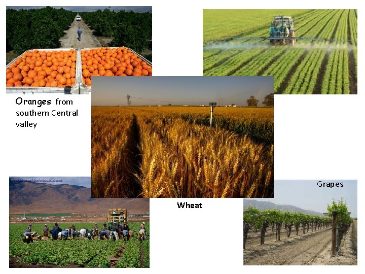
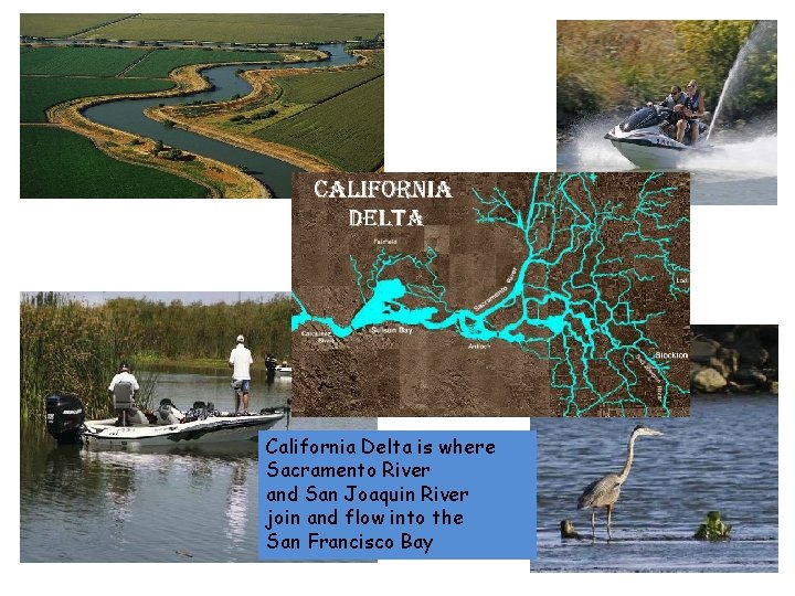
Central Valley Located between Sierra Nevada and Coastal Mountains. Northern valley is the Sacramento river valley Southern valley is the San Joaquin river valley. One of the most productive agricultural (farming) regions in the world!! It has fertile soil that has washed down From the Sierra Nevada.
Central Valley Farmland
Lettuce Fields Central Valley
Almond Orchards California Aquaduct used to move water to irrigate central valley farmland.
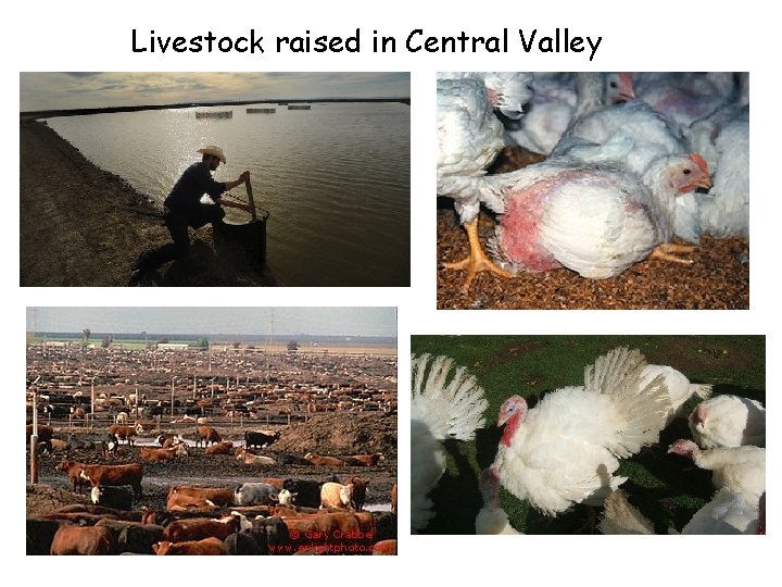
Livestock raised in Central Valley
Oranges from southern Central valley Grapes Wheat
California Delta is where Sacramento River and San Joaquin River join and flow into the San Francisco Bay
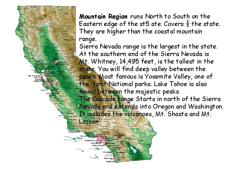
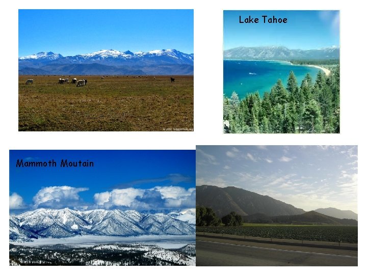
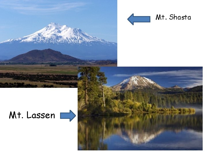
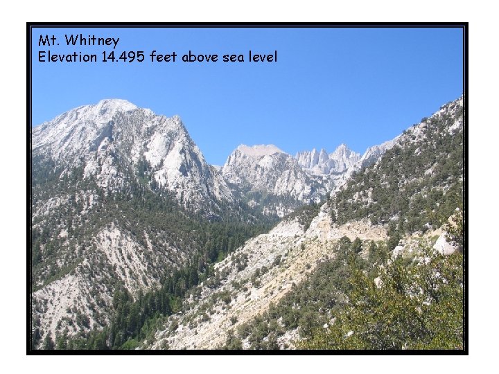
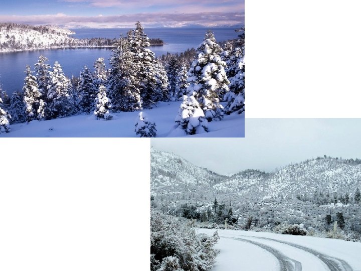
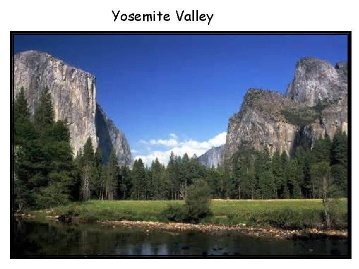
Mountain Region runs North to South on the Eastern edge of the st 5 ate. Covers ½ the state. They are higher than the coastal mountain range. Sierra Nevada range is the largest in the state. At the southern end of the Sierra Nevada is Mt. Whitney, 14, 495 feet, is the tallest in the state. You will find deep valley between the peaks. Most famous is Yosemite Valley, one of the first National parks. Lake Tahoe is also found between the majestic peaks The Cascade range Starts in north of the Sierra Nevada and extends into Oregon and Washington. It includes the volcanoes, Mt. Shasta and Mt. Lassen
Lake Tahoe Mammoth Moutain
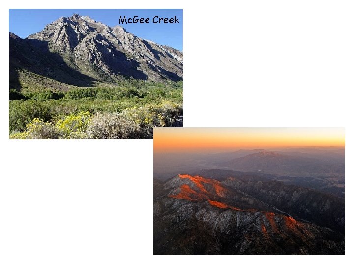
Mc. Gee Creek
Mt. Shasta Mt. Lassen
Mt. Whitney Elevation 14. 495 feet above sea level
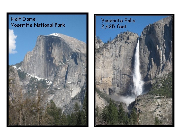
Yosemite Valley
Half Dome Yosemite National Park Yosemite Falls 2, 425 feet
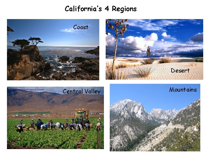
California’s 4 Regions Coast Desert Central Valley Mountains