Phytogeographical regions of India Phytogeography is the study


- Slides: 23

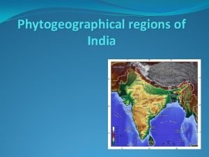
Phytogeographical regions of India

�Phytogeography is the study of distribution of plant species and elucidation of origin of flora.

�Distribution of plants is mainly controlled by climatic factors. � 1. Temperature, Altitude, Precipitation, Atm moisture, Light intensity and duration. � 2. Type of soil. � 3. Biotic factors play an important role in distribution and establishment of species.

Phytogeographical regions of India �Phyto geographical regions are also called as Botanical regions. �D. Chatterjee has divided India in to 9 botanical zones.

� 1. Western Himalayas. � 2. Eastern Himalayas � 3. Indus plain � 4. Gangetic plain � 5. Central India � 6. Deccan � 7. Western coasts Of Malabar � 8. Assam � 9. Andaman and Nicobar

Western Himalayas �One of the most important botanical region of India. �It consists of Kasmir, Himachal pradesh, part of Punjab.

�Average rain fall 100 cm to 200 cm. �Salmalia malbaricum �Shorea robusta �Butea monosperma.

�Dalbergia sisso �Ficus glomeruta �Eugenia species

Eastern Himalayas �Extend from Sikkim to Assam �Heavy monsoon rainfall �Less snow fall �High humidity

�Terminelia �Stericulia �Anthocephalus cadamba �Bauhinia

�Michelia champaka �Cinnamomum sp. �Eugenia sp.

�Abies sp. �Juniperous �Tsuga sp.

�Rhododendron sp.

Indus plains �It includes punjab, Rajastan, Cutch, Delhi, �Dry hot summer �Dry cold winter �Rain fall – Less than 70 cm �Vegetation is mainly bushy and thorny.

�Acacia arabica �Prosopis sp. �Salvodora sp. �Zizyphus zuzuba �Mangifera sp.

Gangetic Plain �Richest vegetation in India �Covers U. P. , Bihar, West Bengal and a part of Orissa. �Rain fall- 50 to 150 cm �Cultivable land

�Wheat, Jowar, Bajra, Urad, Moong, Red gram.

�Dry deciduous forests are common �Capparis, Dalbergia, Acacia species are very common.

�Mangrove vegetation is common in tidal regions in W. B. �Rhizophora sp. �Sonneratia sp. �Acanthus ilifolius

Central India �Covers Madya pradesh and a part of Orissa, gujarat and Vindya.

�Rain fall – 100 to 170 cm �Thorny vegetation in open areas �Teak and Sal trees are very common.

Deccan �Includes Southern peninsular India �Rain fall- 100 cm. �Divided in to Deccan plateau and coromondel coast.

�Teak forest are common. �Pterocarpus, Borassus, �Clematis, �Coromondel coast consists of halophytic sp.
 Phytogeographical zones of india
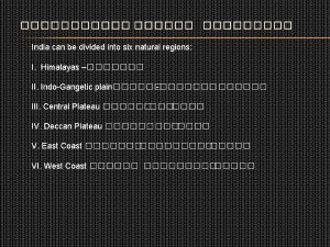
 India is divided into how many natural territories
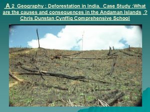
 Case study on deforestation in india
 Case study on ipo in india
 India study channel
 Hình ảnh bộ gõ cơ thể búng tay
 Ng-html
 Bổ thể
 Tỉ lệ cơ thể trẻ em
 Gấu đi như thế nào
 Glasgow thang điểm
 Alleluia hat len nguoi oi
 Kể tên các môn thể thao
 Thế nào là hệ số cao nhất
 Các châu lục và đại dương trên thế giới
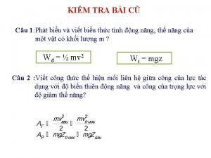
 Công thức tính thế năng
 Trời xanh đây là của chúng ta thể thơ
 Mật thư anh em như thể tay chân
 Làm thế nào để 102-1=99
 Phản ứng thế ankan
 Các châu lục và đại dương trên thế giới
 Thơ thất ngôn tứ tuyệt đường luật
 Quá trình desamine hóa có thể tạo ra
 Một số thể thơ truyền thống
