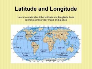
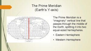
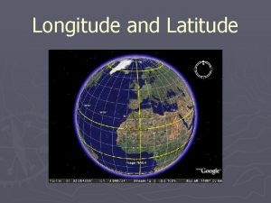
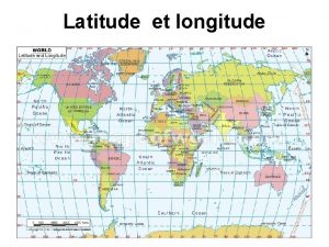
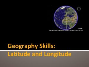
GEOGRAPHY WORLD Hemispheres EQUATOR latitude PRIME MERIDIAN longitude


- Slides: 32

GEOGRAPHY WORLD

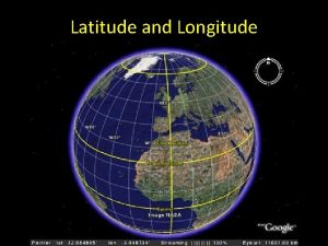
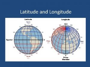
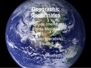
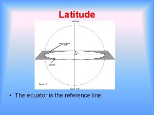
Hemispheres EQUATOR latitude PRIME MERIDIAN longitude

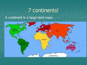
Continents NORTH AMERICA EUROPE ASIA AFRICA SOUTH AMERICA AUSTRALIA ANTARCTICA

COUNTRIES – are part of continents ASIA SOUTH AMERICA

STATES – are part of countries ASIA SOUTH AMERICA

CONTINENT COUNTRY STATE PARISH/COUNTY CITY/TOWN

BIGGEST Mountains formed by plates colliding

WATER MISSISSIPPI RIVER PACIFIC ATLANTIC Gulf of Mexico

WATER MISSISSIPPI RIVER

Grand Canyon, Great Lakes, & Hawaiian Islands formed by glaciers formed by running water formed by volcanoes

MAP GRID

Political map shows boundaries

Physical map shows landforms and water

Elevation map shows elevation of area in comparison to sea level

Population map shows areas of high and low population

Natural Resource map shows where resources of an area can be found

Climate map

Map Key

Distance Scale

Compass rose Remember: to determine the direction of movement, you MUST be careful of your starting location and move from there. Even though this line can go northwest or southeast, YOU can only go one direction on it – depending on your starting point!

Practice Direction Add in the Compass Rose Directions

NORTH Climate very cold winters; a lot of snow hot Summers SOUTH Climate mild winters very hot summers near water, wet & humid

REGIONS mo un DE tain s ns tai un mo PLAINS SER T tundra rainforest

ICK S TH EST R FO CA C GRASSLANDS FO THI RE CK ST S REGIONS TU S CYPRESS TREES PALM TREES

HOW PEOPLE MODIFY LAND IRR IG A CU TR TTIN EE G S G IN TT S CU REE T MINING DUST BOWL & pesticides TIO N LEVEES DRAINING SWAMPS

U. S. LANGUAGES ALL REGIONS MAINLY ENGLISH So me S pa nis h Some French Some Spanish

POPULATION OF REGIONS ITY ERS f High Population o s n a ic r e m A n a ic r f A High Population of due to slavery Hispanic due to Mexican-American War DIV ITY ERS DIV f High Population o Natives to reservations BIG CITIES of New York, Boston, Philadelphia formed because of Atlantic coast = large populations

ECONOMICS OF REGIONS FARMING oil tourism coa l tou Fishi ng & rism Shipp ing ism ur Shipping to Fishing & LUMBER Fishing & Shipping oil tourism

NATURAL DISASTERS OF REGIONS UAKES EARTHQ tsunamis A N R O T volcanoes& tsunamis S E O D HURRICANES & FLOODS

Region Overview Physical Economic Vegetation Natural Disasters Northeast mountains forests coastline fishing shipping tourism thick forests some tornadoes Southeast wetlands gulf coast fishing shipping oil Cypress trees Palm trees hurricanes floods Midwest plains Great Lakes agriculture grasslands tornadoes Southwest deserts Grand Canyon oil cactus some tornadoes Western mountains tundra rainforest fishing shipping tourism lumber Palm trees thick forests earthquakes tsunamis

MIGRATION due to LA PURCHASE, GOLD RUSH Colo n – m ists – P ainly ilgri ms, relig Puri ious free tans dom – h s i Ir : R e& E n i T LA am cape f e p s a e c s – e s n a m r e EVEN LATER – G l a c i t WESTWARD poli ession r p EXPANSION p o

COMMUNITIES RURAL URBAN SUBURBAN the “country” The “big city” a lot of people, tall buildings in-between more spread out, but still close to city farms factories / big businesses homes mainly, people work in urban city and live in suburban community early America diverse populations less diverse – a lot of families
 Latitude longitude and hemispheres
 Equator and prime meridian
 Prime meridian
 Longitude lines give directions
 World map prime meridian labeled
 Map of latitude lines
 North south east west globe
 Map with longitude lines
 Angular distance latitude longitude
 Worksheet c latitude and longitude the grid system
 Equator line
 Horizontal lines on a globe
 Angular distance latitude longitude
 Connecting hemispheres world history
 What are the 5 parts of a map
 Prime meridian and international date line
 International date line longitude
 Vertical lines on the globe are called
 The prime meridian passes through which city in africa
 Map of the 7 continents and 5 oceans
 The prime meridian runs through which 3 continents
 Global grid definition geography
 Which statement identifies a reason to preserve wetlands?
 Cardinal directions picture
 Royal observatory greenwich
 Prime meridian
 East west hemisphere
 Proyeksi ekuivalen adalah
 Prime meridian
 Geographic parallels
 Prime meridian means
 Greenwich meridian line map
 Describe the lines of latitude.
