
Geog 126 Maps and Society From Before the
Geog 126: Maps and Society From Before the Compass to the Chronometer
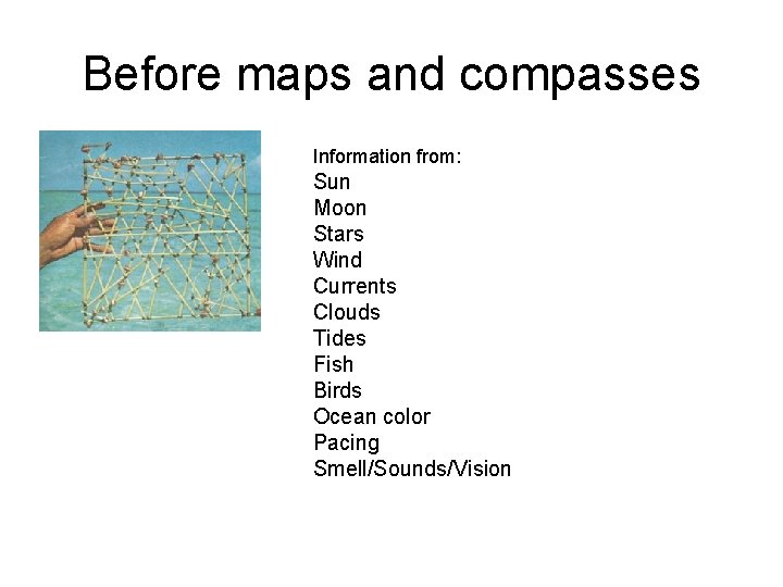
Before maps and compasses Information from: Sun Moon Stars Wind Currents Clouds Tides Fish Birds Ocean color Pacing Smell/Sounds/Vision
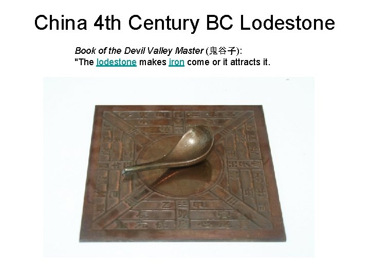
China 4 th Century BC Lodestone Book of the Devil Valley Master (鬼谷子): "The lodestone makes iron come or it attracts it.
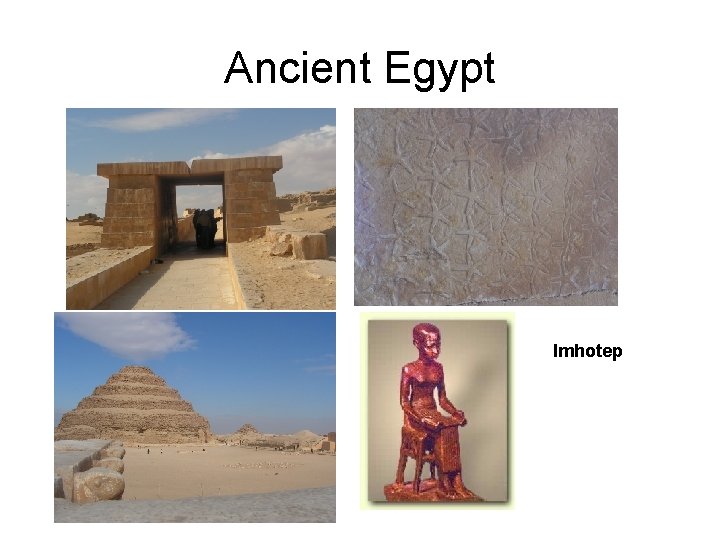
Ancient Egypt Imhotep
Herodotus (Greek, Fifth Century BC) • the pharaoh Sesostris "distributed the land to all the Egyptians, giving an equal square portion to each man, and from this he made his revenue… and if the river should take away any man's portion… the king used to send men to examine and to find out by measurement how much less the piece of land had become, in order that for the future the man might pay less…"

Nilometer: Elephantine Island
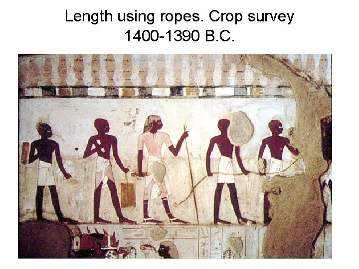
Length using ropes. Crop survey 1400 -1390 B. C.
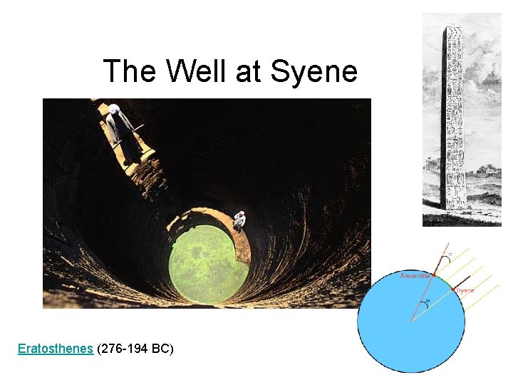
The Well at Syene Eratosthenes (276 -194 BC)
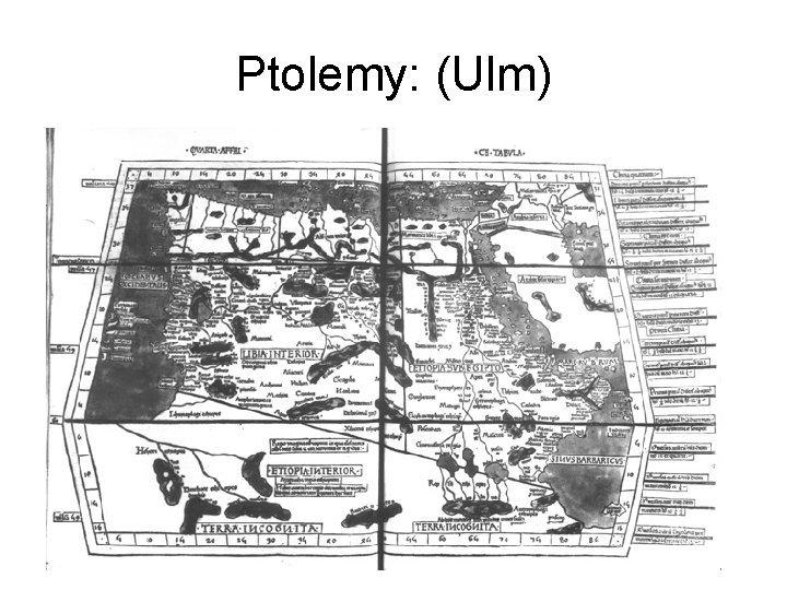
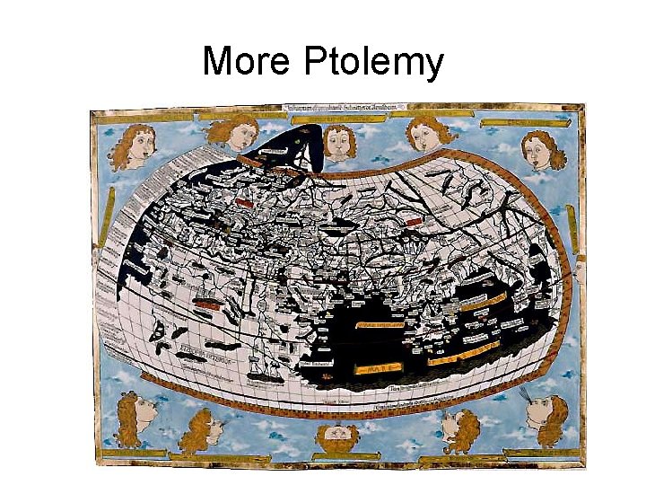
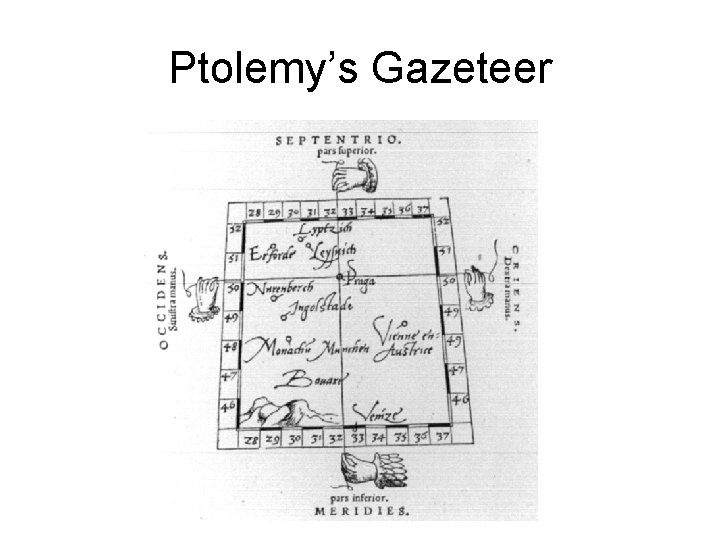
Ptolemy: (Ulm)
More Ptolemy
Ptolemy’s Gazeteer
Roman Surveying: The groma
Magnetized needles or “fish” • The earliest recorded actual use of a magnetized needle for navigational purposes then is to be found in Zhu Yu's book Pingzhou Table Talks (萍洲可談; Pingzhou Ketan) of AD 1119 (written from 1111 to 1117 AD): • The navigator knows the geography, he watches the stars at night, watches the sun at day; when it is dark and cloudy, he watches the compass. • This would have been aided by Shen Kuo's discovery (while working as the court's head astronomer) of the concept of true north: magnetic declination towards the magnetic north pole away from the polestar.
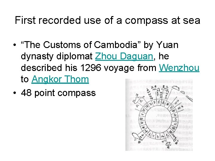
First recorded use of a compass at sea • “The Customs of Cambodia” by Yuan dynasty diplomat Zhou Daguan, he described his 1296 voyage from Wenzhou to Angkor Thom • 48 point compass
Distance measures – 1 ordinary Mesopotamian cubit = 5 hands = 30 fingers = 25 thumbs = 500 mm. – 1 great Mesopotamian cubit = 6 hands = 36 fingers = 30 thumbs = 600 mm. – 1 ordinary Egyptian cubit = 6 palms = 24 fingers = 450 mm. – 1 royal Egyptian cubit = 7 palms = 28 fingers = 525 mm. • The Greeks continued to use cubits based on hands while the Romans used cubits based on palms
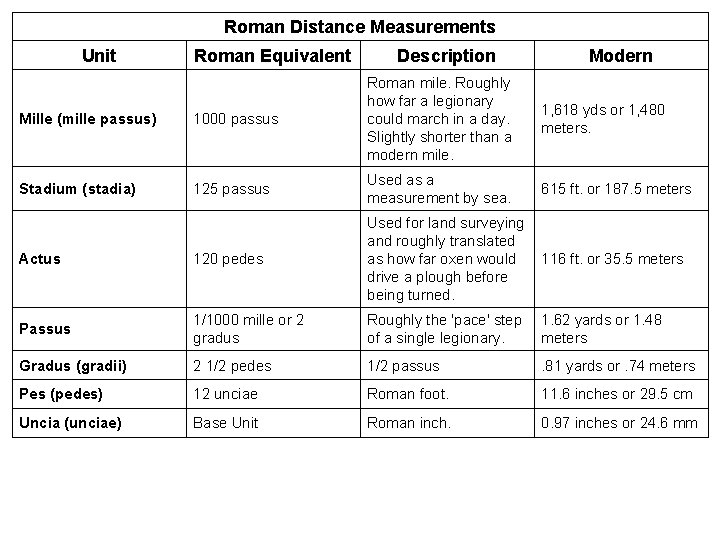
Roman Distance Measurements Unit Roman Equivalent Description Modern Mille (mille passus) 1000 passus Roman mile. Roughly how far a legionary could march in a day. Slightly shorter than a modern mile. Stadium (stadia) 125 passus Used as a measurement by sea. 615 ft. or 187. 5 meters Actus 120 pedes Used for land surveying and roughly translated as how far oxen would drive a plough before being turned. 116 ft. or 35. 5 meters Passus 1/1000 mille or 2 gradus Roughly the 'pace' step of a single legionary. 1. 62 yards or 1. 48 meters Gradus (gradii) 2 1/2 pedes 1/2 passus . 81 yards or. 74 meters Pes (pedes) 12 unciae Roman foot. 11. 6 inches or 29. 5 cm Uncia (unciae) Base Unit Roman inch. 0. 97 inches or 24. 6 mm 1, 618 yds or 1, 480 meters.
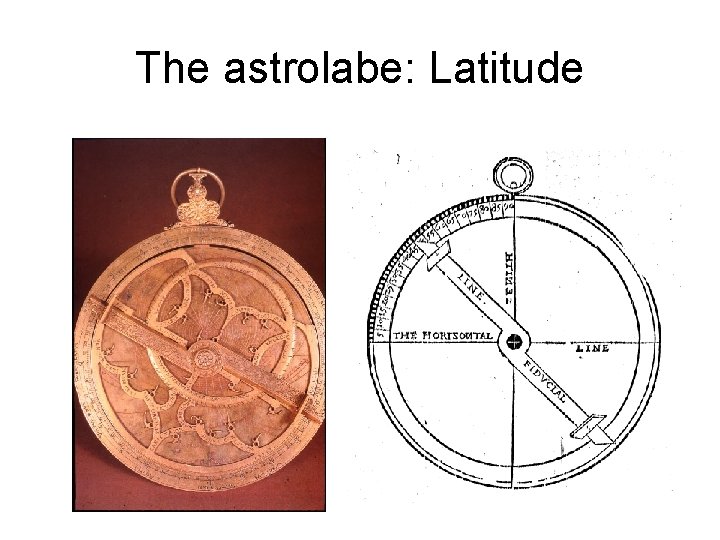
The astrolabe: Latitude

Cross staff
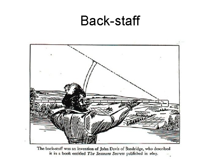
Back-staff
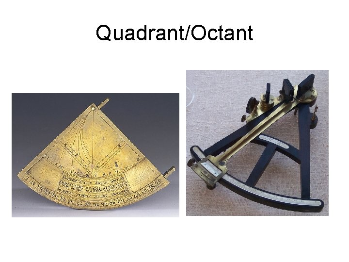
Quadrant/Octant
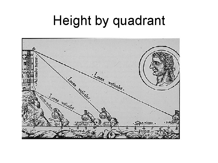
Height by quadrant

Sextant
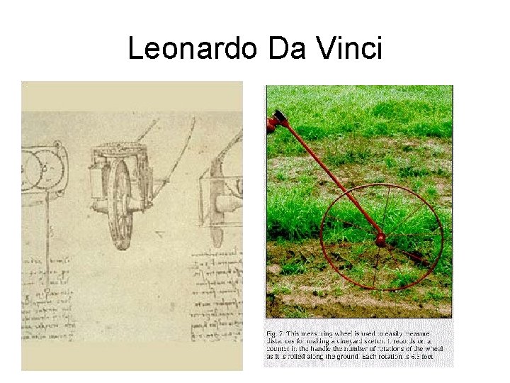
Leonardo Da Vinci
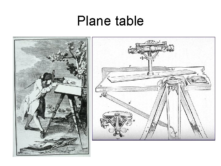
Plane table
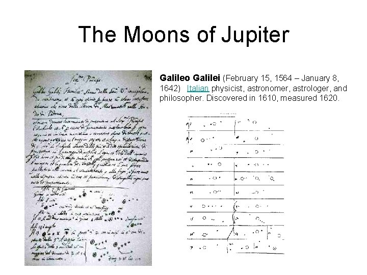
The Moons of Jupiter Galileo Galilei (February 15, 1564 – January 8, 1642) Italian physicist, astronomer, astrologer, and philosopher. Discovered in 1610, measured 1620.
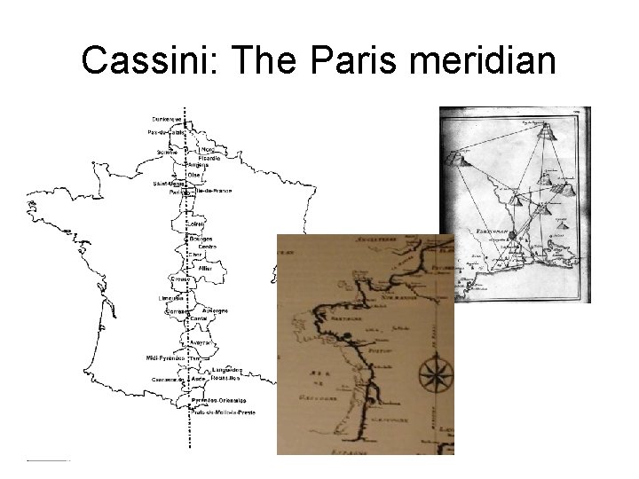
Cassini: The Paris meridian
The Cassinis • 1672 Jean Dominique Cassini, (Cassini I) Royal Astronomer of the Paris Observatory, began to consider new ways to produce more accurate maps through triangulation, to locate observatories • With Jacques Cassini (Cassini II) produced the first accurate survey of an entire nation, in 1744 • In 1747 Louis XV asked Ceasar-Francois Cassini (Cassini III) to create an even more precise national map of France, completed by his son Jacques Dominique Cassini (Cassini IV • 180 maps covering all of France at a scale of 1: 86, 400. These 180 'cartes de l'Academie' published from 1798 through 1812.
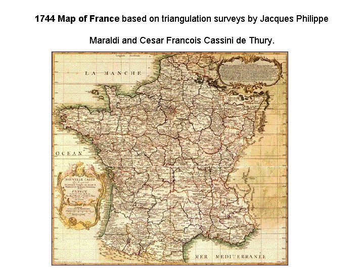
1744 Map of France based on triangulation surveys by Jacques Philippe Maraldi and Cesar Francois Cassini de Thury.
The Figure of the Earth • 1730 s Académie des sciences debate of the shape of the earth • French astronomer Jacques Cassini held to the view that the polar circumference was greater. • Louis XV, the King of France and the Academy sent two expeditions to determine the answer • One was sent to Lapland, under Swedish physicist Anders Celsius and French mathematician Pierre Maupertuis. • The other mission was sent to Ecuador, at the Equator. • Previous accurate measurements had been taken in Paris by Cassini and others.
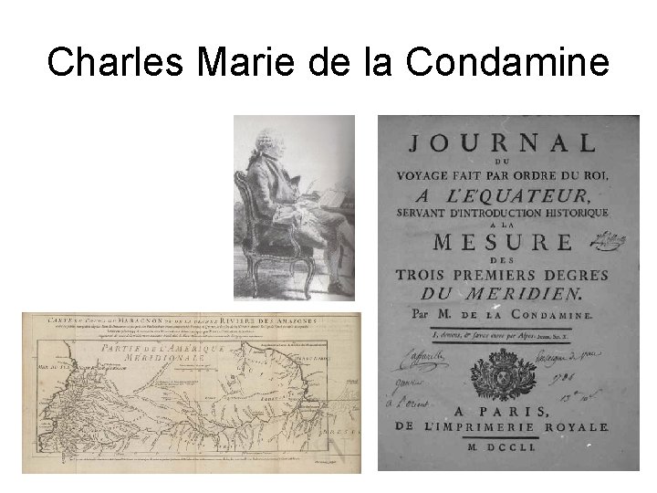
Charles Marie de la Condamine
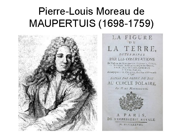
Pierre-Louis Moreau de MAUPERTUIS (1698 -1759)
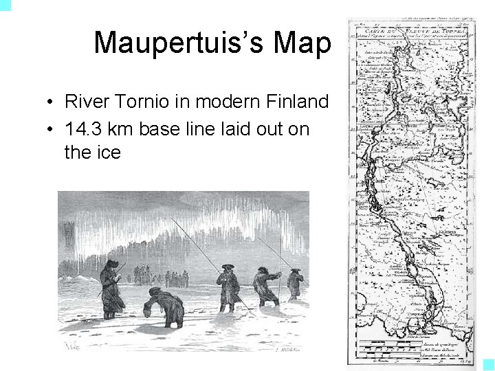
Maupertuis’s Map • River Tornio in modern Finland • 14. 3 km base line laid out on the ice
Measuring the Ellipsoid • Maupertuis reported a meridian degree as 57, 437. 9 toises (1 toise = 1. 949 m) • Meridian degree at Paris was 57, 060 toises • Concluded Earth was flatter at poles • Measures were erroneous but conclusions were correct • Published as “La Figure de la Terre” (1738)
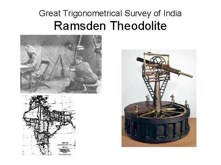
Great Trigonometrical Survey of India Ramsden Theodolite
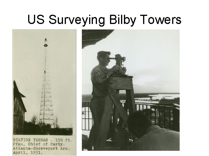
US Surveying Bilby Towers
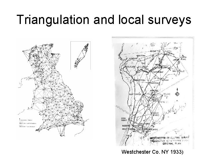
Triangulation and local surveys Westchester Co. NY 1933)
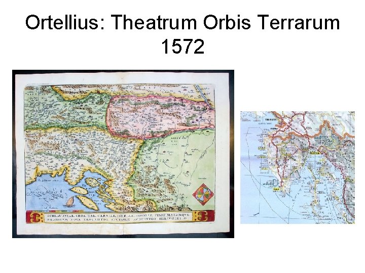
Ortellius: Theatrum Orbis Terrarum 1572
- Slides: 37