Elevation Adjustments Gradual Slope 0 to 14 Slope


- Slides: 43
Elevation Adjustments Gradual Slope • 0% to 14% Slope • No Adjustment Moderate Slope • 16% to 28% Slope • 5% adjustment Steep Slope Moderate Ridge Steep Ridge Very Steep Ridge • >30% Slope • 10% adjustment • At least 30% Slope, 6’ to 15’ height. • 5% adjustment • At least a 30% slope, 15’ to 25’ height • 10% adjustment • At least 30% Slope, over 25’. • 15% adjustment
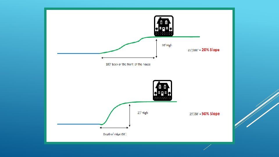
SLOPE EXAMPLES RIDGE
MEASURING SLOPE To determine the elevation of a lake lot we will measure the slope of the lot. The slope is determined by dividing the rise, or height of the elevation by the run, or depth of the lot that is affected by a slope or a ridge. Rise/Run= Slope
MEASURING A SLOPE ON GIS To Determine slope on the GIS Map: 1. Measure the lot from the lakeshore to 100’ back, or to the house, whichever is nearer to the lake(run). 2. Subtract the elevation of the lake line from the back elevation(rise). 3. Divide the elevation by the depth (1204 -1194)/80 = 12. 5% Slope 80’
MEASURING A RIDGE ON GIS To Determine a ridge on the GIS Map: 1. Measure the lot from the lakeshore to the back of the ridge, where the land levels off. 2. Subtract the elevation of the lake line from the back elevation(rise). 3. Divide the elevation by the depth (1212 -1194)/25 = 72% Slope 18’ height
WHEN DOES A SLOPE BECOME A RIDGE? A ridge has at least a 30% slope There are three grades of ridge. The grade is determined by the height of the ridge: • Moderate ridge: 6’ to 15’ high • Steep ridge: 15’ to 25’ high • Very steep ridge: greater than 25’ high
GRADUAL SLOPE A study of lakeshore sales on the Whitefish chain of lakes showed that lake lots that were level, or had a gradual slope did not need to receive any discount to value. A gradual slope is defined by a slope up to 14%. 0% -14%
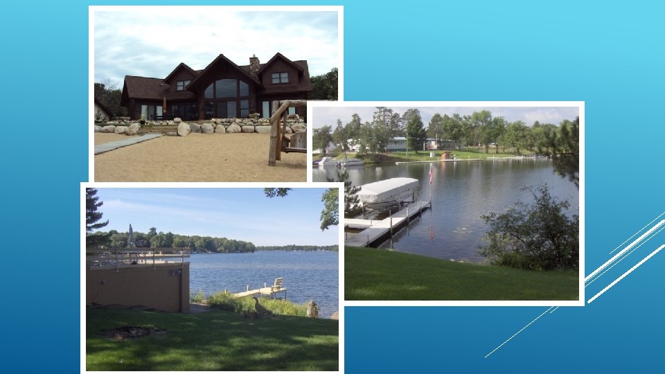
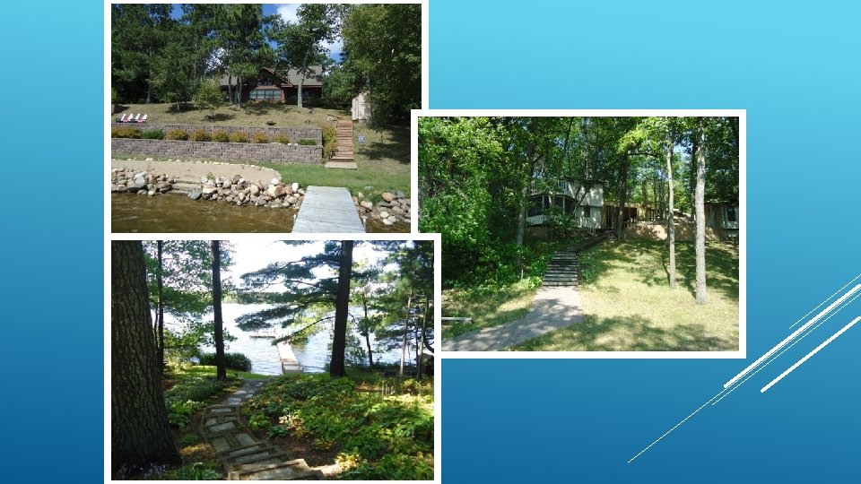
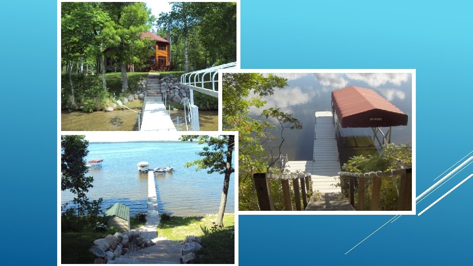
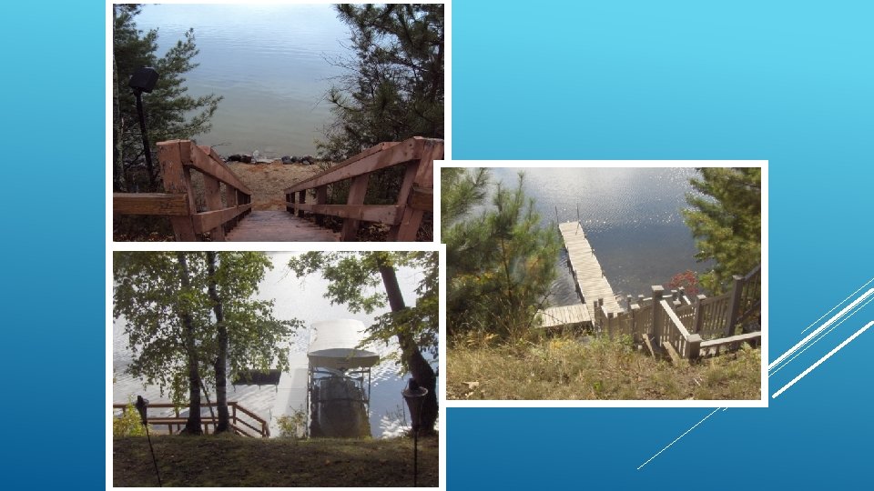
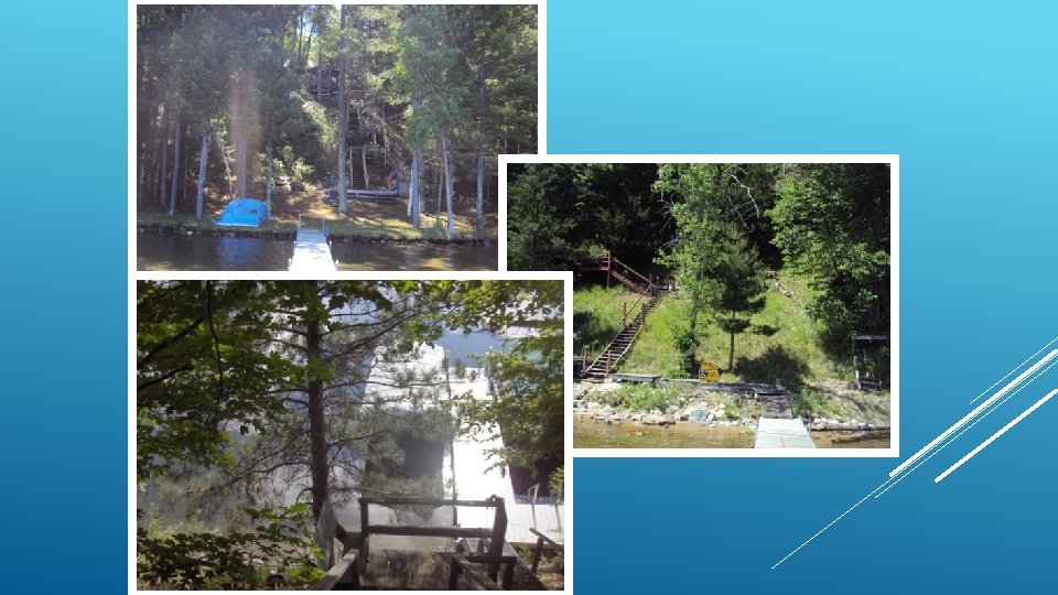
MODERATE SLOPE A moderate slope has a slope between 16% and 28%. It is common for moderate slopes to have no path to the lakeshore. However, many moderate slopes do have steps or a path to make the descent to the lake easier. 16% to 28%
STEEP SLOPE A steep slope has a slope greater than 30%. Steep slopes may have natural access to the lake, but will often have some sort of path or stairs due to the steepness of the slope. >=30%
MODERATE RIDGE A moderate ridge has a slope of at least 30% and a height of 6’ – 15’. Moderate ridges typically have steps, but it is not unusual for a moderate ridge to lack stairs. 6’ to 15’
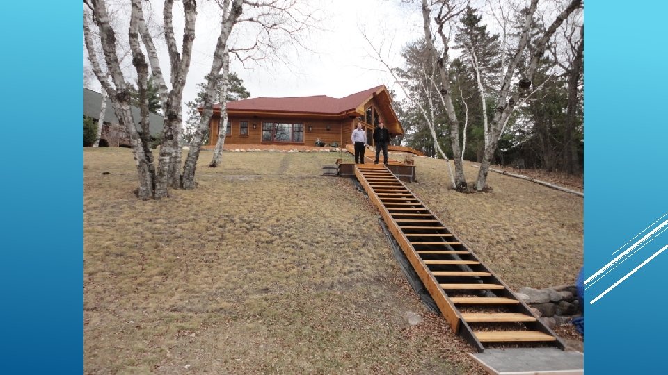
STEEP RIDGE A steep ridge has a slope of at least 30% and a height of 15’ – 25’. Steep ridges typically have stairs to the lake, due to the higher elevation of the ridge. 15’ to 25’
VERY STEEP RIDGE A very steep ridge has a slope of at least 30% and a height over 25 feet. Very steep ridges typically have stairs to the lake or a mechanical lift or elevator, due to the higher elevation of the ridge. >= 25’
LANDINGS • When a lot has a landing at the base of a steep slope or a ridge, the adjustment used for the elevation will be decreased to reflect the greater utility of a lot. • A landing is defined as a strip of land at the shore that is level or gradually slopes back to the ridge. • A landing should be at least 6’ deep to be considered. • There are two grades of landings: • LD 1: a landing 6’ to 14’ deep • LD 2: a landing >= 15’ deep
160’
CLOSE CALLS The goal is to be as objective as possible. Sometimes a lot will be difficult to classify and we will have to make a subjective call. • 6’ high ridge • 25% slope • Moderate Ridge?
WHAT IF THESE LOTS ARE SIDE BY SIDE? • 6’ high ridge • 25% slope • 8’ high ridge • 33. 33% slope
Lakeshore Quality Adjustments Prime No adjustment to front footage rate Elevation • Two Categories • 6 Grades • 5% - 15% adjustment Vegetation • Four base grades • 5% - 70% adjustment Utility • Depth • Irregular Shape • Build ability • Usability • Privacy
AREAS OF CONSIDERATION IN EVALUATING LAKESHORE VEGETATION The process for grading lakeshore vegetation must be addressed in a multi-faceted manner due to the wide variety of vegetation, shoreline and lake bottoms. These factors can not only be found on different lakes, but also in various areas on the same lake. Additionally, the considerations must be easily understood and applied by individual appraisers so there can be consistency county-wide.
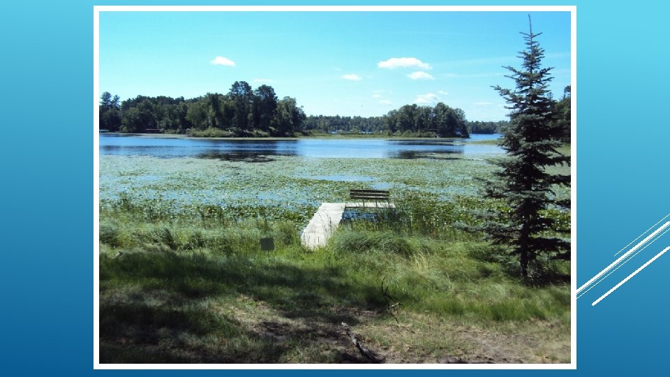
THREE AREAS OF CONSIDERATION OF LAKESHORE VEGETATION Vegetation in the Water Vegetation on the Shore Lake Bottom Quality
VEGETATION IN THE WATER • Emergent Vegetation • Floating Vegetation • Submerged Vegetation
Emergent Plants Floating Leaf Plants and Algae Submerged Plants GROUPS OF AQUATIC PLANTS FOUND IN MINNESOTA LAKES CONSIDERED IN THE LAKESHORE VALUATION PROCESS Adapted from MN DNR
Aquatic plants tend to change with the water depth. Most emergent plants are located in shallower depths. Floating leaf plants are in moderate depths. Submerged plants grow in water depth up to approximately 20 to 25 feet, depending on the water clarity. The better the water clarity, the deeper in water the plants can grow.
TYPES OF PLANTS COMMON TO CROW WING COUNTY LAKES EMERGENT PLANTS Cattails Purple loosestrife Bulrushes Wild rice Rooted in the lake bottom with most of their leaves and stems extending above the water surface. Adapted from MN DNR
BULLRUSHES MN DNR
CATTAILS MN DNR
PURPLE LOOSESTRIFE MN DNR
WILD RICE MN DNR
FLOATING AND FLOATING LEAF PLANTS Anchored in the lake bottom with leaves, flowers or matter that floats on the surface • Water lilies • Filamentous Algae • Stonewort Adapted from MN DNR
WATER LILY MN DNR
FILAMENTOUS ALGAE MN DNR
STONEWORT MN DNR
SUBMERGED PLANTS Stems and leaves that primarily grow under water. May be short or tall with leaf shapes that include broad ovals, long and grass-like or finely dissected. • Pond Weeds (of various types) • Milfoil • Wild Celery Adapted from MN DNR
POND WEEDS MN DNR
MILFOIL MN DNR
WILD CELERY MN DNR