Placer County Water Agency Middle Fork American River
- Slides: 42
Placer County Water Agency Middle Fork American River Project Recreation TWG Meeting March 16, 2009
Meeting Objectives 2
Meeting Objectives n Review whitewater boating information associated with bypass n Discuss contingency whitewater boating flow studies 3
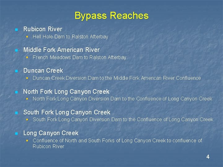
Bypass Reaches n Rubicon River § Hell Hole Dam to Ralston Afterbay n Middle Fork American River § French Meadows Dam to Ralston Afterbay n Duncan Creek § Duncan Creek Diversion Dam to the Middle Fork American River Confluence n North Fork Long Canyon Creek § North Fork Long Canyon Diversion Dam to the Confluence of Long Canyon Creek n South Fork Long Canyon Creek § South Fork Long Canyon Diversion Dam to the Confluence of Long Canyon Creek n Long Canyon Creek § Confluence of North and South Forks of Long Canyon Creek to confluence of Rubicon River 4
Whitewater Runs in the Bypass Reaches Associated with the MFP 5
Summary of Whitewater Boating Information 6
Whitewater Boating Focus Group n Conducted Whitewater Boating Focus Group session on Wednesday evening, April 23, 2008 n Session was attended by 10 people affiliated with the following activities: § § § Private boaters (3) Commercial outfitters (4) Anglers (3) 7
Whitewater Boating Focus Group Summary – Bypass Reaches n Identified and discussed 3 runs § 2 runs on the Rubicon River § 1 run on the Middle Fork American River between Middle Fork Interbay and Ralston Afterbay n None of the focus group participants had any experience on the following river reaches: § Middle Fork American River between French Meadows Dam and Middle Fork Interbay § Duncan Creek § Long Canyon n Other boaters were identified for follow-up consultation 8
Whitewater Boating Focus Group Handout n Table: Summary of Information Developed through Whitewater Boating Focus Group § Summarizes information developed through Whitewater Boating Focus Group § Includes comments provided by Foothill Water Network in letter dated February 9, 2009 9
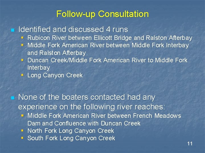
Follow-up Consultation n Identified and contacted 12 boaters n Developed additional information regarding boating opportunities on bypass reaches 10
Follow-up Consultation n Identified and discussed 4 runs § Rubicon River between Ellicott Bridge and Ralston Afterbay § Middle Fork American River between Middle Fork Interbay and Ralston Afterbay § Duncan Creek/Middle Fork American River to Middle Fork Interbay § Long Canyon Creek n None of the boaters contacted had any experience on the following river reaches: § Middle Fork American River between French Meadows Dam and Confluence with Duncan Creek § North Fork Long Canyon Creek § South Fork Long Canyon Creek 11
Follow-up Consultation Handout n Table: Information Regarding Bypass Reaches Developed Through Follow-up Conversations with Whitewater Boaters § Summarizes opinions and information provided by individual boaters 12
Rubicon River RM 25 to Ellicott Bridge 13
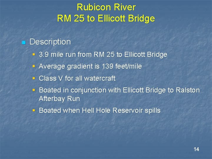
Rubicon River RM 25 to Ellicott Bridge n Description § 3. 9 mile run from RM 25 to Ellicott Bridge § Average gradient is 139 feet/mile § Class V for all watercraft § Boated in conjunction with Ellicott Bridge to Ralston Afterbay Run § Boated when Hell Hole Reservoir spills 14
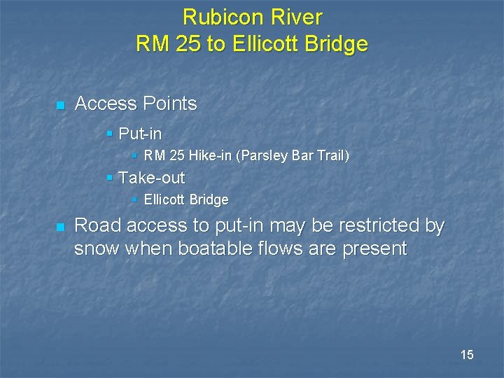
Rubicon River RM 25 to Ellicott Bridge n Access Points § Put-in § RM 25 Hike-in (Parsley Bar Trail) § Take-out § Ellicott Bridge n Road access to put-in may be restricted by snow when boatable flows are present 15
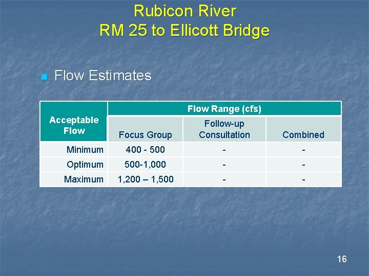
Rubicon River RM 25 to Ellicott Bridge n Flow Estimates Flow Range (cfs) Acceptable Flow Focus Group Follow-up Consultation Combined Minimum 400 - 500 - - Optimum 500 -1, 000 - - Maximum 1, 200 – 1, 500 - - 16
Rubicon River Ellicott Bridge to Ralston Afterbay 17
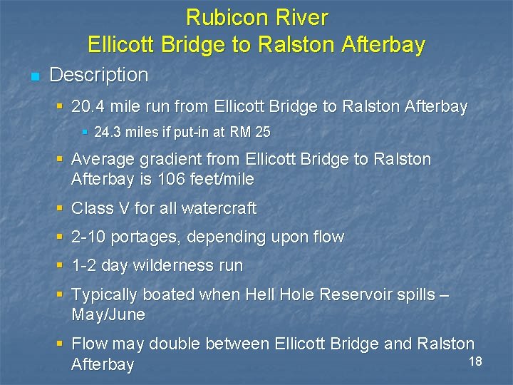
Rubicon River Ellicott Bridge to Ralston Afterbay n Description § 20. 4 mile run from Ellicott Bridge to Ralston Afterbay § 24. 3 miles if put-in at RM 25 § Average gradient from Ellicott Bridge to Ralston Afterbay is 106 feet/mile § Class V for all watercraft § 2 -10 portages, depending upon flow § 1 -2 day wilderness run § Typically boated when Hell Hole Reservoir spills – May/June § Flow may double between Ellicott Bridge and Ralston 18 Afterbay
Rubicon River Ellicott Bridge to Ralston Afterbay n Access Points § Put-in § Ellicott Bridge § Take-out § Ralston Afterbay n Road access to put-in may be restricted by snow when boatable flows are present 19
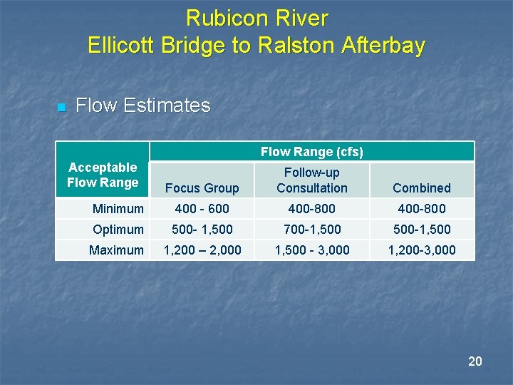
Rubicon River Ellicott Bridge to Ralston Afterbay n Flow Estimates Flow Range (cfs) Acceptable Flow Range Focus Group Follow-up Consultation Combined Minimum 400 - 600 400 -800 Optimum 500 - 1, 500 700 -1, 500 -1, 500 Maximum 1, 200 – 2, 000 1, 500 - 3, 000 1, 200 -3, 000 20
Middle Fork American River French Meadows Dam to Middle Fork Interbay 21
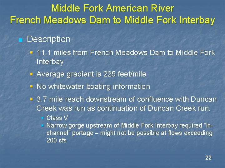
Middle Fork American River French Meadows Dam to Middle Fork Interbay n Description § 11. 1 miles from French Meadows Dam to Middle Fork Interbay § Average gradient is 225 feet/mile § No whitewater boating information § 3. 7 mile reach downstream of confluence with Duncan Creek was run as continuation of Duncan Creek run. § Class V § Narrow gorge upstream of Middle Fork Interbay required “inchannel” portage – might not be possible at flows exceeding 200 cfs 22
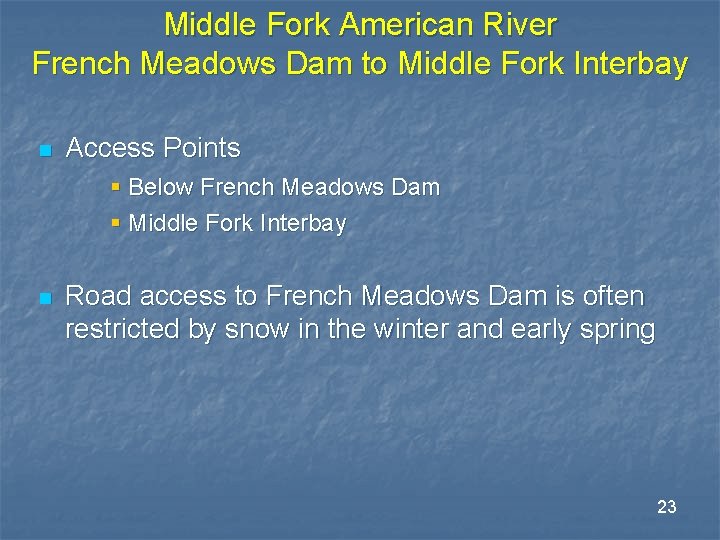
Middle Fork American River French Meadows Dam to Middle Fork Interbay n Access Points § Below French Meadows Dam § Middle Fork Interbay n Road access to French Meadows Dam is often restricted by snow in the winter and early spring 23
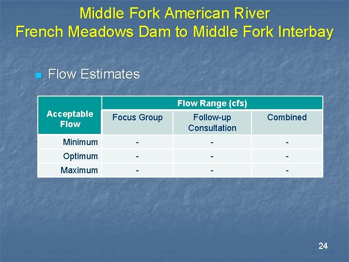
Middle Fork American River French Meadows Dam to Middle Fork Interbay n Flow Estimates Flow Range (cfs) Acceptable Flow Focus Group Follow-up Consultation Combined Minimum - - - Optimum - - - Maximum - - - 24
Middle Fork American River Middle Fork Interbay Dam to Ralston Afterbay 25
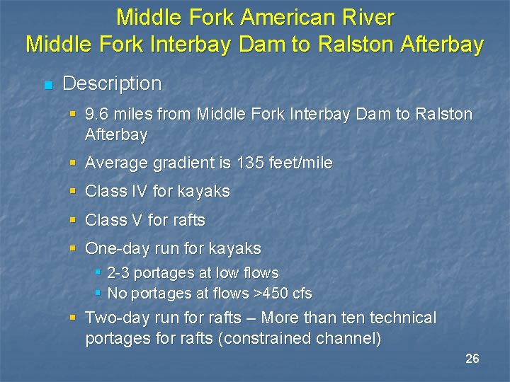
Middle Fork American River Middle Fork Interbay Dam to Ralston Afterbay n Description § 9. 6 miles from Middle Fork Interbay Dam to Ralston Afterbay § Average gradient is 135 feet/mile § Class IV for kayaks § Class V for rafts § One-day run for kayaks § 2 -3 portages at low flows § No portages at flows >450 cfs § Two-day run for rafts – More than technical portages for rafts (constrained channel) 26
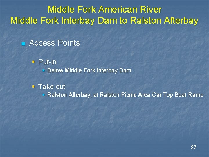
Middle Fork American River Middle Fork Interbay Dam to Ralston Afterbay n Access Points § Put-in § Below Middle Fork Interbay Dam § Take out § Ralston Afterbay, at Ralston Picnic Area Car Top Boat Ramp 27
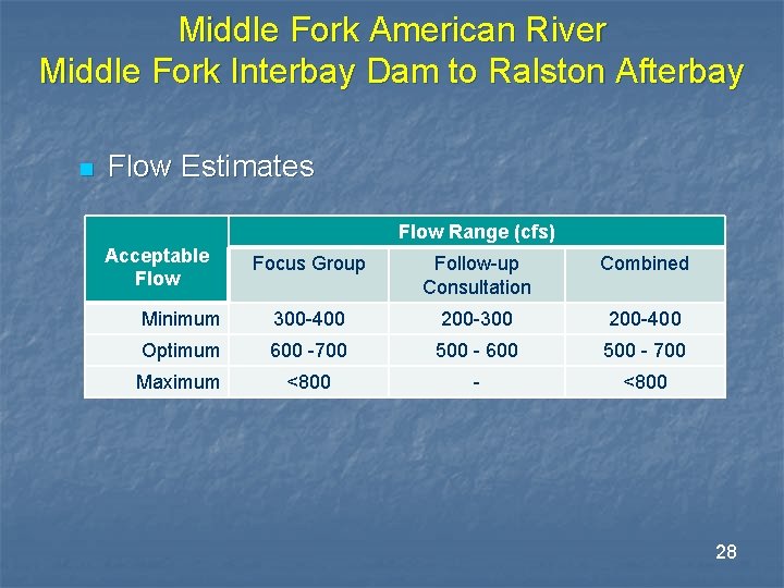
Middle Fork American River Middle Fork Interbay Dam to Ralston Afterbay n Flow Estimates Flow Range (cfs) Acceptable Flow Focus Group Follow-up Consultation Combined Minimum 300 -400 200 -300 200 -400 Optimum 600 -700 500 - 600 500 - 700 Maximum <800 - <800 28
Duncan Creek 29
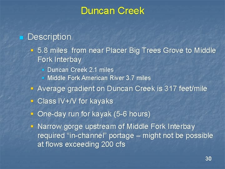
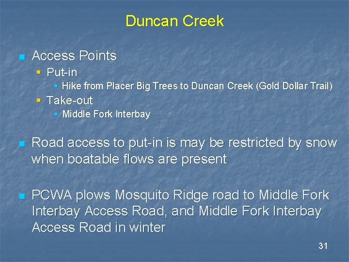
Duncan Creek n Description § 5. 8 miles from near Placer Big Trees Grove to Middle Fork Interbay § Duncan Creek 2. 1 miles § Middle Fork American River 3. 7 miles § Average gradient on Duncan Creek is 317 feet/mile § Class IV+/V for kayaks § One-day run for kayak (5 -6 hours) § Narrow gorge upstream of Middle Fork Interbay required “in-channel” portage – might not be possible at flows exceeding 200 cfs 30
Duncan Creek n Access Points § Put-in § Hike from Placer Big Trees to Duncan Creek (Gold Dollar Trail) § Take-out § Middle Fork Interbay n Road access to put-in is may be restricted by snow when boatable flows are present n PCWA plows Mosquito Ridge road to Middle Fork Interbay Access Road, and Middle Fork Interbay Access Road in winter 31
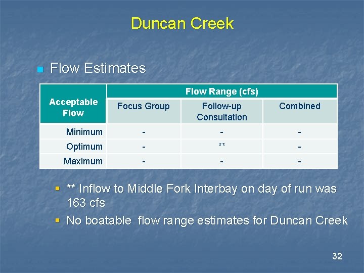
Duncan Creek n Flow Estimates Flow Range (cfs) Acceptable Flow Focus Group Follow-up Consultation Combined Minimum - - - Optimum - ** - Maximum - - - § ** Inflow to Middle Fork Interbay on day of run was 163 cfs § No boatable flow range estimates for Duncan Creek 32
Long Canyon Creek 33
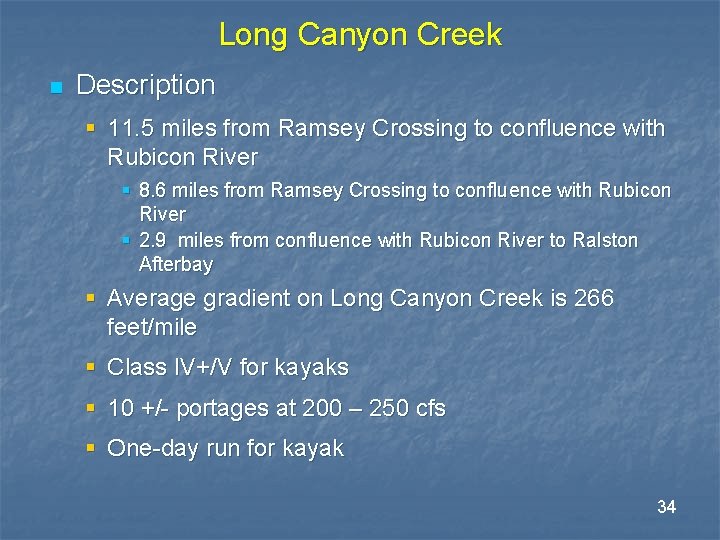
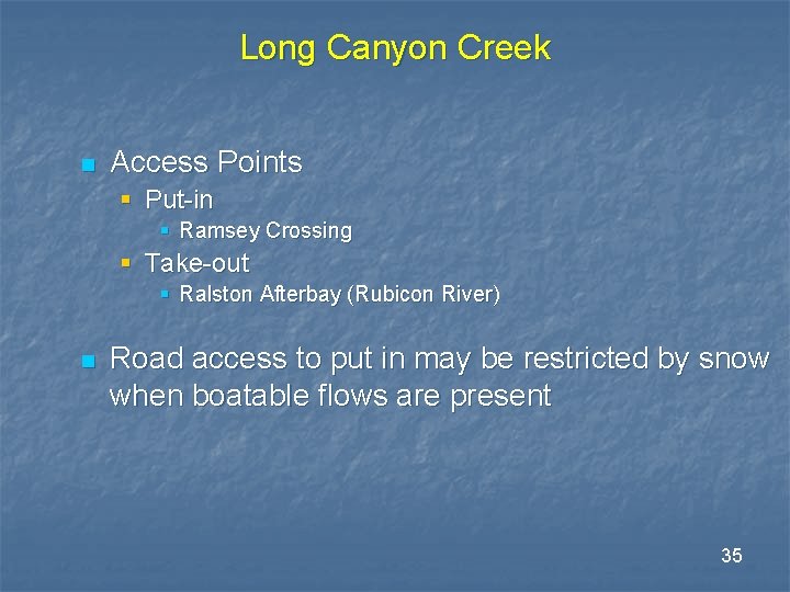
Long Canyon Creek n Description § 11. 5 miles from Ramsey Crossing to confluence with Rubicon River § 8. 6 miles from Ramsey Crossing to confluence with Rubicon River § 2. 9 miles from confluence with Rubicon River to Ralston Afterbay § Average gradient on Long Canyon Creek is 266 feet/mile § Class IV+/V for kayaks § 10 +/- portages at 200 – 250 cfs § One-day run for kayak 34
Long Canyon Creek n Access Points § Put-in § Ramsey Crossing § Take-out § Ralston Afterbay (Rubicon River) n Road access to put in may be restricted by snow when boatable flows are present 35
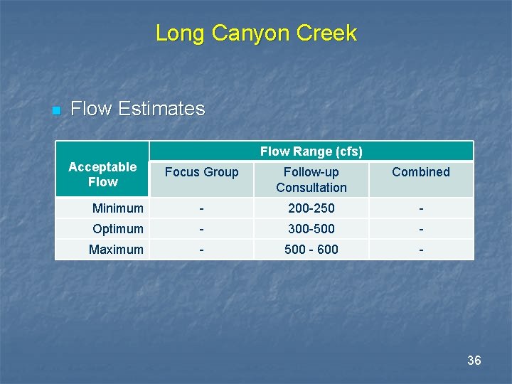
Long Canyon Creek n Flow Estimates Flow Range (cfs) Acceptable Flow Focus Group Follow-up Consultation Combined Minimum - 200 -250 - Optimum - 300 -500 - Maximum - 500 - 600 - 36
North Fork Long Canyon Creek 37
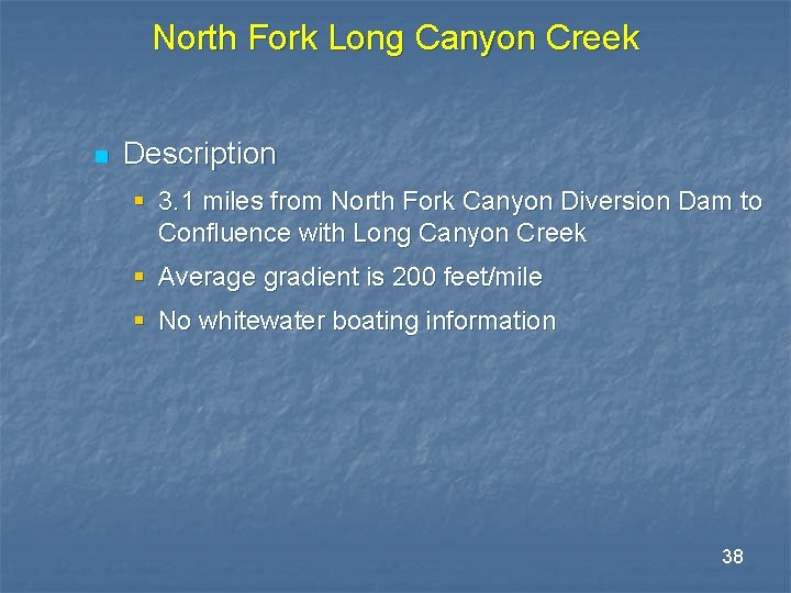
North Fork Long Canyon Creek n Description § 3. 1 miles from North Fork Canyon Diversion Dam to Confluence with Long Canyon Creek § Average gradient is 200 feet/mile § No whitewater boating information 38
South Fork Long Canyon Creek 39
South Fork Long Canyon Creek n Description § 3. 3 miles from South Fork Canyon Diversion Dam to Confluence with Long Canyon Creek § Average gradient is 164 feet/mile § No whitewater boating information 40
Discussion on Contingency Whitewater Boating Flow Studies 41
Contingency Whitewater Boating Flow Studies REC 4 TSP n Contingency Study(s) - If appropriate, conduct whitewater boating studies on runs in bypass reaches § In consultation with the Recreation TWG, determine if whitewater boating studies are necessary to further assess whitewater boating opportunities in the bypass reaches based on information developed in the tasks above and a review of the hydrologic record. If appropriate, identify target reaches where flow studies are needed and determine study objectives that consider the physical and operational constraints of the Project, and PCWA’s ability to release flows. § If determined to be necessary, conduct whitewater boating studies on specific runs in the bypass reaches. 42