Topographic Maps EQ How are elevation relief and
- Slides: 9
Topographic Maps EQ: How are elevation, relief and slope shown on a topographic map? G 1 -4
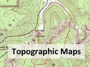
Topographic Map • A map showing the surface features of an area • Provide highly accurate information on the elevation, relief and slope of the ground surface • Why do we use topographic maps? EQ: How are elevation, relief and slope shown on a topographic map? G 1 -4
EQ: How are elevation, relief and slope shown on a topographic map? Scale • Large scale maps that shows a close up view of part of Earth’s surface • Scale of 1 centimeter equals 0. 24 kilometers – At this scale, a map can show details of elevation and features such as rivers and coastlines. – Large buildings, airports and major highways appear as outlines at the correct size – Google maps G 1 -4
Coverage • In the USA, the U. S. Geological Survey, or the USGS, produces the topographical maps for our country • They have made 57, 000 maps at scales of either 1: 24, 000 (1 inch = 2, 000 ft. ) or 1: 25, 000 • The maps cover and area of 145 square kilometers G 1 -4 EQ: How are elevation, relief and slope shown on a topographic map?
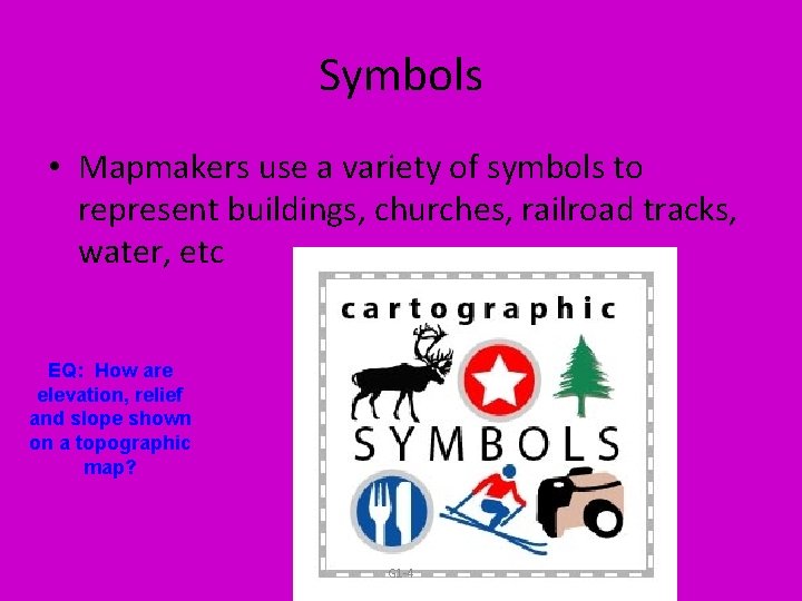
Symbols • Mapmakers use a variety of symbols to represent buildings, churches, railroad tracks, water, etc EQ: How are elevation, relief and slope shown on a topographic map? G 1 -4
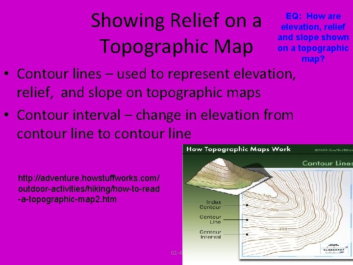
Showing Relief on a Topographic Map EQ: How are elevation, relief and slope shown on a topographic map? • Contour lines – used to represent elevation, relief, and slope on topographic maps • Contour interval – change in elevation from contour line to contour line http: //adventure. howstuffworks. com/ outdoor-activities/hiking/how-to-read -a-topographic-map 2. htm G 1 -4
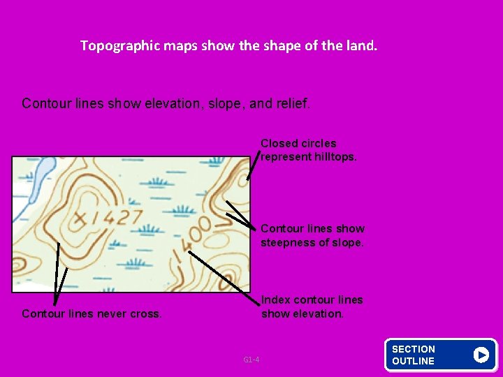
Topographic maps show the shape of the land. Contour lines show elevation, slope, and relief. Closed circles represent hilltops. Contour lines show steepness of slope. Index contour lines show elevation. Contour lines never cross. G 1 -4 SECTION OUTLINE
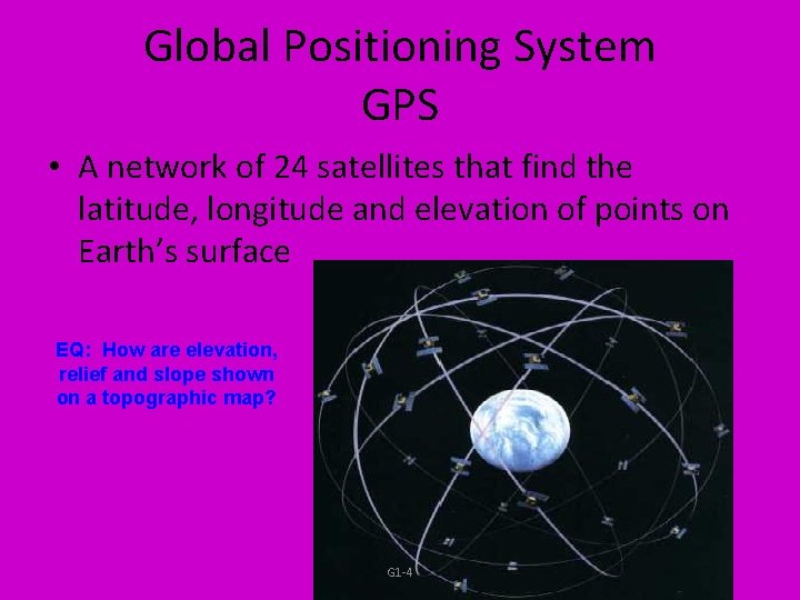
Global Positioning System GPS • A network of 24 satellites that find the latitude, longitude and elevation of points on Earth’s surface EQ: How are elevation, relief and slope shown on a topographic map? G 1 -4
Class Work and Homework Fill In EQ: How are elevation, relief and slope shown on a topographic map? – What did I learn – Confused – Say Reading a Topographical Map (USGS Packet) Read pages G 29 – G 33, questions 1 -5. Answer with complete sentences G 1 -4