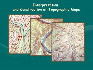
Introduction to Topographic Maps Geography 1 Physical Geography


- Slides: 36

Introduction to Topographic Maps Geography 1: Physical Geography

What did we discuss Last time? 1. When is the best date for grilling out? 2. Why do you feel “blue” during the winter season? üEarth’s Orbit üEarth’s Axis üLeap Years üLocation of the Sub Solar Point üMarch and September Equinox üDecember and June Solstice üSeasons üSeasonal Affective Disorder

Topic Outline • • • Topographic Map Intro North, Longitude & Latitude Topographic Lines & Contour Intervals Reading Features on a Topo Map Scale Topography

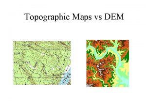
What is a Topographic map? • Topography= the shape of the land showed by color or lines • A 2 -D land map that displays 3 -D relief/elevation, along with other natural and manmade features. • They allow very accurate measurement of elevations and horizontal distances. • The science of locating things on the earth’s surface is called geodesy.

When would you need to use a topographic map? • Hiking, skiing, camping, diving, boating, canoeing, hunting, running, paragliding, fishing,

Topic Outline • • • Topographic Map Intro North, Longitude & Latitude Topographic Lines & Contour Intervals Reading Features on a Topo Map Scale Topography

How do you read a topographic map? • Which way is North? • NEVER EAT STALE WAFFLES • Geographic North is always oriented at the top of the map • So what is Geographic North vs. Magnetic North?

Geographic vs. Magnetic North • Geographic North is 90°N Latitude • Magnetic North: surface expression of Earth’s magnetic field

Where is North on a Map? • Most maps are printed with north at the top. • However, if you are using a magnetic compass with a map, it is important to know that the compass needle does not point to true north. • Instead, it points to magnetic north which is offset from the geographic north pole.

In Addition to Latitude, Longitude is also used on maps • Earth is divided East and West into 360° • The international zero longitude reference line is the Prime Meridian • The opposite meridian is both 180°W and 180°E, the International Date Line • Reported as East (+) or West (-)

What would Longitude and Latitude look like on a Topographic Map? • Latitude and Longitude One degree of Latitude and Longitude = approximately 70 square miles 1 degree = 60 Minutes 1 minute = 60 Seconds The Corner of this Map would Read 35 degrees 15 minutes north latitude and 111 degrees 30 minutes west longitude

Topic Outline • • • Topographic Map Intro North, Longitude & Latitude Topographic Lines & Contour Intervals Reading Features on a Topo Map Scale Topography

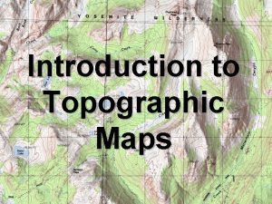
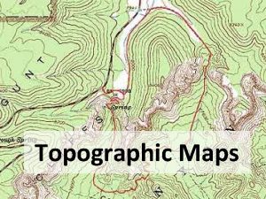
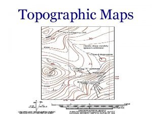
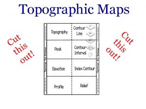
What else will you see on the Topographic Map? Lots of Lines! • Contour Lines – a line that connects equal points of elevation • Index Contour: bold contours usually labeled with elevation Main property – Contour lines do not cross, split, or divide • Contour Interval – Distance between each contour line • Contour lines exhibit relief

Other tips about reading contour intervals… Other Useful Contour Line Characteristics • Contour lines form a “U” or a “V” shape when they trend up a valley or stream

Topic Outline • • • Topographic Map Intro North, Longitude & Latitude Topographic Lines & Contour Intervals Reading Features on a Topo Map Scale Topography

Natural features on topographic maps • Natural features are shown in a variety of colors. • Water (ocean, rivers, lakes, swamps) and ice (glaciers and snowfields) are shown in various blue patterns. • Surface features (glacial moraines, sand dunes, mine dumps) are shown with brown patterns • Green patterns indicate different kinds of vegetation. • Contour lines are shown in brown.

Common Map Symbols

Common Map Symbols

Cultural features on topographic maps • Cultural features on topographic maps are shown in red, black, or purple. • Light red shaded areas indicate regions of solid or almost solid construction and only landmark buildings are shown. • Different classifications of roads are also indicated.

Common Map Symbols

What are benchmarks and why are they on maps? • BM =Bench Marks: A reference point of known elevation and location marked with a bronze disk permanently imprinted on the ground there • The marker is often a metal disk made for this purpose, but it can also be a church spire, a radio tower, a mark chiseled into stone, or a metal rod driven into the ground. • They are used by land surveyors, builders and engineers, map makers, and other professionals who need an accurate answer to the question, "Where? “

Topic Outline • • • Topographic Map Intro North, Longitude & Latitude Topographic Lines & Contour Intervals Reading Features on a Topo Map Scale Topography

How big are things shown on the map? • Scale: given on all maps as a written scale (states the ratio), a fraction (expressed with a : or /), or a graphic scale (a bar graph) • Tells you how distance on the map corresponds with distance on the ground • Small scale (1: 10, 000) good for world maps • Large scale (1: 100, 000) good for local maps

Small Scale Map Large Scale Map

Map Scale • Maps are called large scale or small scale. • Large scale map shows: smaller area and greater detail • Small scale map shows: larger area and less detail

What Scale is this Map?

What Scale is this Map? Small Scale

Topic Outline • • • Topographic Map Intro North, Longitude & Latitude Topographic Lines & Contour Intervals Reading Features on a Topo Map Scale Topography

How high (or Low) am I? • Elevation is the vertical distance above or below some datum plane, normally taken as mean sea level (0 meters elevation). • So what is Sea Level?

What is Sea Level?

How steep (or flat) is this trail? • Relief is the difference in elevation between two points in a given region (usually the highest and lowest).

On the trail: • “Cutting” the trail • Switchbacks: start line vs. trail distance

Streams and Topography • Another characteristic of contour lines is that they “V” upstream. • Notice on the island map the contour lines come to a point as they go across the streams (dashed lines).

With a partner: Match each profile on the left with the matching contour lines on the right.

Topic Outline • • • Topographic Map Intro North, Longitude & Latitude Topographic Lines & Contour Intervals Reading Features on a Topo Map Scale Topography

Introduction to Topographic Maps Geography 1: Physical Geography
 Adjoining map sheets
 Large scale vs small scale map
 Whats a contour interval
 Contour map worksheet
 On a planimetric map the tells you the number
 Valley contour lines
 Topographic maps show
 Topographic map vocabulary
 Topographic map
 Independent practice: topographic maps
 What is contour lines in geography
 Remote sensing ap hug
 Peters projection ap human geography
 Aggregation definition ap human geography
 Google reittihaku
 Mathematical literacy grade 12 maps and plans
 Floor plans maths lit
 Maps, plans and other representations of the physical world
 Elevation map grade 12 maths lit
 What is a formal region
 Different types of maps in human geography
 How to read a synoptic chart
 Contour map watershed delineation
 Hachured contour lines on a topographic map represent
 A topographic map is a two dimensional model
 Topographic map worksheet answer key
 A topographic map is a two dimensional model
 Maps that show changes in elevation of earth's surface
 Benchmark topographic map
 A topographic map is a two dimensional model
 A topographic map is a two dimensional model
 Major terrain features
 Chapter 41 intraoral imaging
 Glen samaai
 Topographic profile definition
 How to calculate area on topographic map
 Topographic hachure
