SouthWest Pacific Hydrographic Commission United States of America


- Slides: 15

South-West Pacific Hydrographic Commission United States of America National Report 17 th Conference - Wollongong, Australia February 2020

National Charting Plan

National Charting Plan Create an Orderly Layout

External Source Data

Capacity Building • Cat-A S-5 (Hydrography) programs • University of New Hampshire • University of Southern Mississippi • Cat-B programs • NOAA S-8 (Cartography) • NGA S-8 (Cartography) • Navy S-5 (Hydrography)

Global Collaboration • GEBCO • Seabed 2030 • Crowdsourced Bathymetry https: //seabed 2030. gebco. net/ https: //maps. ngdc. noaa. gov/viewers /iho_dcdb/

CNMI: NOAA Ship Rainier • Shore out to 1500 m depth • • Guam Saipan Rota Tinian… • Bathymetry, backscatter, habitat characterization, coral assessment dives, oceanographic obs

NOAA / Ocean Service Storm Surge Products Component ESTOFS-MIC Grid resolution 200+ m Forcing GFS 13 km Ensembles 1 Forecast frequency/ lead time 4/day up to 7 days Inland flooding Yes • Extratropical Storm & Tide Operational Forecast System (ESTOFS) ESTOFS - ran by NCEP/NCO continuously • Hurricane Surge On-Demand Forecast System (HSOFS) - ran by NHC pre- / post-landfall HSOFS • Short-Term Ensemble Forecast • Post-Landfall Ensemble Hindcast • COASTAL Act Named Storm Event Model (NSEM) NSEM - post-event coupled reanalysis Current NOS Tide & Surge Guidance Coverage Wind, Precip Reanalysis ESTOFS-MIC Surge Model Wave Model Hydrology The Consumer Option for an Alternative System to Allocate Losses (COASTAL) • Act NOAA develops multi-component Named Storm Event Model (NSEM) to lower costs to FEMA’s National Flood Insurance Program (NFIP) by better discerning wind vs water damage in “indeterminate losses” • Detailed post-storm assessment in the aftermath of a damaging tropical cyclone that strikes the U. S. or its territories, 90% accuracy required Aftermath of Hurricane Michael in Mexico Beach, FL. AP Photo/Gerald Herbert

Future Developments Surface Current Data for e-Navigation • NOAA converting real-time surface current forecasts into S-111 format for ENC application and display in future e-Navigation systems • Pilot project with Chesapeake Bay Operational Forecast System

Future Developments Surface Current Data for e-Navigation https: //tidesandcurrents. noaa. gov/ofs/cbofs. html

WGS 84 – A System of Global Systems Reference Frame • Targeting • Supports GPS Operational Control Segment (OCS) • Navigation • Defines ECEF and ECI frames • Photogrammetry • Satellite Operations • Is an international Standard • Interoperability requires relationship between WGS 84 and other GNSS reference systems • Datum Transformations • Map Projections World Magnetic Model Earth Gravitational Model • Defines Mean Sea Surface • More accurate Geoid surface to reference land elevations • Improved reference frame for defining position coordinates • Improved Satellite Orbits • Enhanced gravity models • Increased knowledge of ocean circulation • • Do. D and NATO standard navigation product Used by NOAA, FAA, USGS Spacecraft attitude control Orienting of antennas and solar panels Space weather modeling and prediction Magnetic Anomaly Detection Navigation Reference Systems Geologic Studies Provides the fundamental inter-operational capabilities for all of the Do. D, and Global geospatial community Images courtesy Office of Geomatics

Updated Models • New Earth Gravity Model (EGM) • Planned release 2020 • New World Magnetic Model (WMM) • Released 2019, update 2020

Auto-Generated Elevation Data - Polar Geospatial Centerpublic-private initiative to produce a high-resolution, high Arctic. DEM - NGA-NSF quality, digital surface model (DSM) of the Arctic using optical stereo imagery, highperformance computing, and open source photogrammetry software. The entire Arctic. DEM domain was mosaicked to 2 -meter resolution and covers just over 10% of the planet. REMA - Constructed from hundreds of thousands of individual stereoscopic Digital Elevation Models (DEM) extracted from pairs of submeter resolution commercial satellite imagery licensed by the National Geospatial-Intelligence Agency. The Reference Elevation Model of Antarctica (REMA) provides the first high resolution (8 -meter) terrain map of nearly the entire continent. Earth. DEM— Currently in production. The success of both Arctic. DEM and REMA started an initiative to complete the remaining portion of the globe at 2 -meter.

• UNCLASSIFIED 2019 Auto-Generated Earth. DEM Production Arctic. DEM New update Dec 2019 Earth. DEM Complete early 2020 REMA Complete 2 m Surface Model

THANK YOU NOAA Ship Hi’ialakai arriving in Pago Harbor, American Samoa
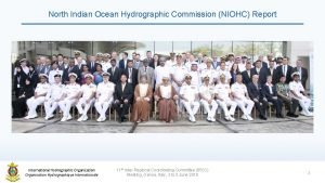
 Niohc
Niohc The southeast region of the united states of america
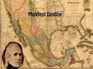
 Expansion of the united states of america 1607 to 1853 map
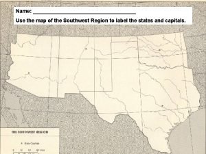
 The southwest states and capitals
 Southwest states and capitals
 International hydrographic organisation
 International hydrographic organisation
 International hydrographic organisation
 International hydrographic organisation
 International hydrographic organisation
 International hydrographic organisation
 Mustafa ipteş
 Intogis
 United nations economic commission for europe
 What is a graduated commission
 Aims of secondary education commission 1952-53
