USCanada Hydrographic Commission Canadian Hydrographic Service CHS ACCESSING
 « ACCESSING BIG MARINE DATA (volume-velocity-variety) »")
 is built on: “Authoritative – Accessible –")
 International Marine Geospatial Working Group International August 2017 3")
 Federal Context 4 • Included in the Federal")
 is for: • Clean-up the house •")
 Benefits 6")
 Status Leading the way forward 2016 -2017 : 2017")


- Slides: 11
US-Canada Hydrographic Commission Canadian Hydrographic Service (CHS) « ACCESSING BIG MARINE DATA (volume-velocity-variety) » Chris Hemmingway, Director CHS March 26, 2018 1
What a Marine Spatial Data Infrastructure (MSDI) is built on: “Authoritative – Accessible – Accurate… Data” Technical Standards MSD I Geographic Content: Data / Applications / Metadata Infrastructure (IT) & Information Systems Policy & Governance 2
Marine Spatial Data Infrastructure (MSDI) International Marine Geospatial Working Group International August 2017 3 Geoinformation Standards Three Advisory Bodies Marine Domain Working Group IHO: International Hydrographic Organisation MSDI Working group + specific Maritime Geoinformation standards
Federal Marine Spatial Data Infrastructure (MSDI) Federal Context 4 • Included in the Federal Committee on Geomatics and Earth Observation (FCGEO NRCan-led) and the Interdepartmental Committee on Oceans (ICO DFO-led) • In line with Open Government directives • Leverages the Federal Geospatial Platform (FGP) • Funded via Ocean Protection Plan within the Regional Response Planning initiative.
What a Marine Spatial Data Infrastructure (MSDI) is for: • Clean-up the house • Data • Metadata • Applications DFO Marine side • Tailored to the needs of the Marine Domain • Brings in : Federal example 5 • Thematic approach (Marine Protected Areas, Fisheries, Habitat & Aquaculture zones, science, safety of navigation, …) • Value-added products • Metadata processes
Marine Spatial Data Infrastructure (MSDI) Benefits 6
Marine Spatial Data Infrastructure (MSDI) Status Leading the way forward 2016 -2017 : 2017 -2018 : 2018 -2019 & … • Prototype built • Presented federal wide • OPP Funding accelerates development • Implementation • Collaboration • Training • Integration • Processes • Documentation • Delivery • Increase • Maintain • Adapt • Improve • Interoperable Administration of the Authoritative Marine Domain • Throughout International and Federal Levels • Seamless between both the land marine (Freshwater & Oceans) domain • Plan & Opportunities after 2018 -2019… 7
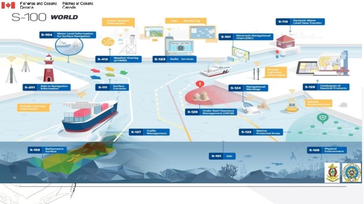
HYDROGRAPHY : MUCH MORE THAN JUST NAUTICAL CHARTS 8
What is a Marine Cadastre? Renewable Energies Recreation Oil and gas resources Aquaculture Marine protected area Shipping Fishing zone Ocean disposal Cables and pipelines Heritage protection Graphic courtesy of Natural Resources Canada
Immediate Next Steps 1. Receipt and prioritization of DFO Area Response Planning datasets and integration in Federal Geospatial Platform (FGP)/Marine Spatial Data Infrastructure (MSDI) workflow. 2. MSDI development and training. 3. Organizing training for MSDI/FGP and data managers at large within DFO and across the other Government Departments and Agencies. 4. Continue to connect and influence on an International and global perspective (United Nations, International Organizations, Canada- US) 10