Research Experience Daniel Fregosi Summer 2006 UNCC Visualization


 § If the angle formed between 2 edges")


- Slides: 25
Research Experience Daniel Fregosi Summer 2006 UNCC Visualization Center
§ Worked under the guidance of Dr. Ribarsky and Dr. Wartell § Thanks to Remco Chang, Hunter Hale, and Josh Jones for their everyday help
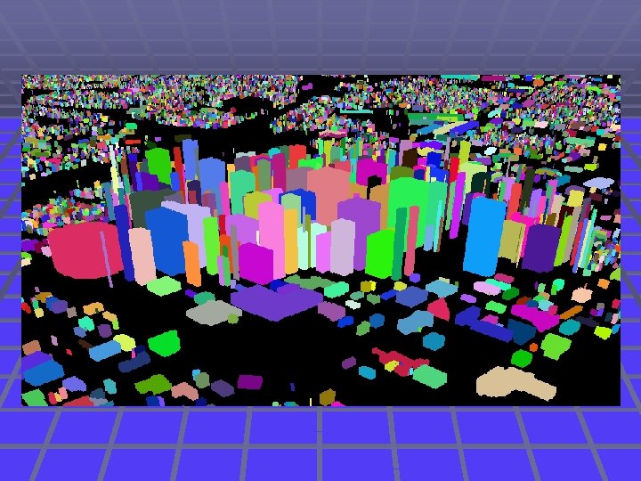
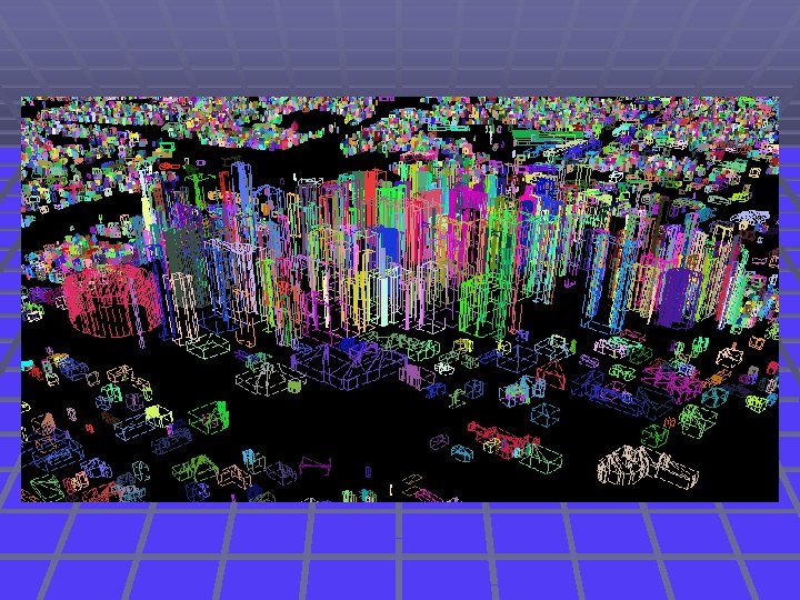
Virtual Charlotte § 3 D Model System for the City of Charlotte § Basic concept similar to Google Earth § Used to attract businesses and people into moving to the Charlotte area § Visually pleasing § Completely interactive
Model of UNCC Campus with Textures and Elevation Model taken from UNCC Viscenter
Overview of My Part § Extract building footprints from geography data we were given § Create program to view and edit footprints § Clean up and process the data § Output the data for optimal access and rendering
Parsing the Data § Footprints were in Shapefile format § Did not allow access or modification, only viewing § Wrote a parser to get all of the points and contours out and stored into customized data type
Parsing the Data § File was in binary format rather than ASCII § Had to learn about computer organization § How data is stored (number of bytes, big vs. little endian)
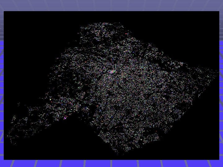
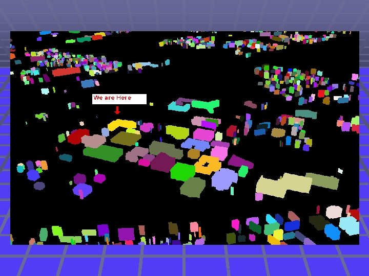
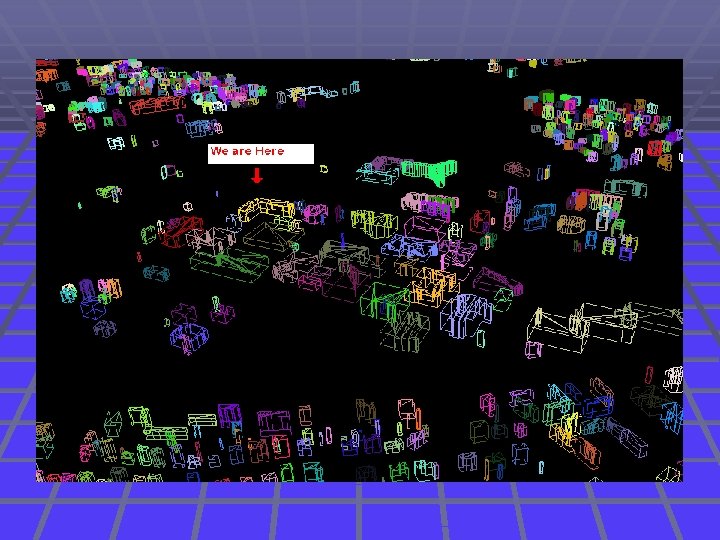
Viewing the Building Footprints § Create simple viewing program § Visualize data to check for correctness § Gave buildings random colors to differentiate § Gave buildings random height to be able to visualize the entire city in 3 D
Viewing the Building Footprints § Functionality needed: § Zoom in and out § Scroll through and rotate the map § Focus in on predefined list of certain buildings § Identify and center in on buildings by clicking on them
372, 455 Buildings
Viewing the Building Footprints § Open Graphics Library – standard environment for developing 2 D and 3 D graphics applications § Utilized display lists – store rendering information on video card for increased performance
Cleaning Up the Data § There were many problematic building outlines that required fixing § Define, identify, and corrected problems
In line vertices (3 or more) § If the angle formed between 2 edges is between 170° and 190°, middle vertex is deleted 60, 493 In Line Vertices Erased out of 2. 9 Million
Sharing multiple vertices § Corrected first § Merged into one building § 5, 101 cases
One vertex in common § Separate common vertices by small amount § 3, 588 cases
Intersecting buildings § Crossing edges, coincident edges § Merged into one building § 1, 438 cases
Completely Surrounded Buildings § Corrected last so all of the other cases were out of the way § Deleted footprint on the inside, 606 cases
Cleaning Up the Data § Researched geometric algorithms for detecting these situations § Practiced strategies for decreasing the run time of these algorithms § Only running tests if buildings are within a certain distance
Packaging and Output § Convert all of the complex polygons into series of triangles using Open. GL’s tesselator § Why triangles? § § Most efficient for rendering Simple, convex polygons Can apply textures to them easily Easy to package § Saved data to binary format § Documented simple yet efficient format for future use
Biggest Challenges § Learning new languages § C++ § Open. GL § Conducting graduate level research for the first time § Freedom to explore new ideas § Testing new concepts