Design of A Sewer Network For Siries Village


 =")


m/s �Cover ( 1 – 5 )m.")


 = (Area covered")


 3 2, 5 2 1, 5 1 0, 5 0 0")
 6 5 4 3 2 1 0 0 100 200 300 400")
 (%) 16 14 12 10 8 6 4 2 0 0")
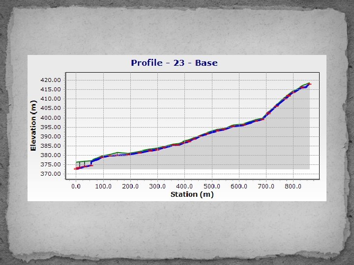


- Slides: 31
Design of A Sewer Network For Siries Village Prepared by : Hasan Hisham Opisi Mohammad Farez Fahmy Slaiman Munjid Blaibleh Submitted to : Dr. Sameer Shadeed
Introduction �The most important element to the human being in life is water, where 80% of water demand is converted to wastewater.
Objectives v The main objectives of this project are: �Design a water distribution network. � Design a wastewater collection network.
SIGNIFICANCE OF THE WORK
STUDY AREA: SIRIS VILLAGE
TOPOGRAPHY
TOPOGRAPHY �Maximum elevation = 465 m above MSL �Minimum elevation = 372 m above MSL �Mean elevation = 411 m above MSL
AREA AND LAND USE �Total Area = 12500 donums � Built up Area = 19 donums � Agricultural land = 11000 donums � Forests and open areas = 1400 donums
Methodology Data Collection. Preparation of data. Designing by Sewer. CAD program. Results and recommendations.
DATA COLLECTION �Boundary of the study area. �Contour map �Roads network �Structural plane �Population number
POPULATION Year Population 1922 494 1931 608 1945 830 1982 1, 300 1987 2, 200 1997 3, 757 2005 4, 898 2007 5, 182
PREPARATION OF DATA �Population forecasting using Arithmetic growth rate equation ; According to the population curve of the village we have choose arithmetic growth equation to predict the population in 2066: �
PREPARATION OF DATA �Pn = P + n*k �Future population ( 2066 ) = 13600 capita
Calculation of Sanitary Load � Demand = 120 L /day / capita � Assume hourly factor = 4 � Wastewater generation 80% � Load calculation = Wastewater generation + infiltration � Wastewater generation = 0. 8 * 0. 12 * 13600 * 4 = 5222. 4 CM /day � Infiltration = 0. 2 * 0. 8 * 0. 12 * 13600 = 261. 12 CM / day � Sanitary load = 5222. 4 + 261. 12 = 5483. 52 CM / day
Sewer Collection Network Ø Sewer Systems Ø Sewerage Elements
Related hydraulic concepts Ø A General procedure for design flow rates quantification. � Average water consumption (lpcd). � Average wastewater generation (80% of water consumption). � Total average wastewater flow = average wastewater x community size. � Max hourly waste water (which is the design value) = total average waste water x hourly factor.
Related hydraulic concepts Ø The Energy Equation. Ø Friction Loss Methods.
Draw the Network by Sewer. CAD program. Ø Length of conduit will not exceed 50 m. Ø Avoid making closed loops. Ø Putting manholes every intersection and curves
CONSTRAINTS �Velocity ( 0. 6 – 3 )m/s �Cover ( 1 – 5 )m. �Slope( 1 – 15 )%.
Draw the Network by Sewer. CAD program.
Allocating the area for each manhole ØAllocating areas by Arc. GIS programe using Arch. Hydro tool.
Calculating the loads on each manhole wastewater load for each manhole(Lday) = (Area covered by each manhole)*(population density)* (water consumption) * (Peak factor) + (infiltration)
Calculating the loads on each manhole Load distribution in excel sheet to make Model builder
Layout the network �We have four outfalls in the area.
RESULTS Velocity (m/s) 3 2, 5 2 1, 5 1 0, 5 0 0 100 200 300 400 500 600 700 800
RESULTS Cover(m) 6 5 4 3 2 1 0 0 100 200 300 400 500 600 700 800
RESULTS Slope (Calculated) (%) 16 14 12 10 8 6 4 2 0 0 100 200 300 400 500 600 700 800
Conclusion: Ø All constraints are achieved and there are no problems in the model, and all the results are in the ranges as specifications and criteria Ø We used 8 & 10 inch diameters for all conduits and PVC material.
Recommendation: �We recommend constructing a sewer network because the people will be very pleased and most of their problems will be removed.
THANK YOU