Climate Factors World Climate Regions LACEMOPS TEKS 3



- Slides: 40
Climate Factors & World Climate Regions LACEMOPS TEKS 3 A, B, C and 4 A, B, C
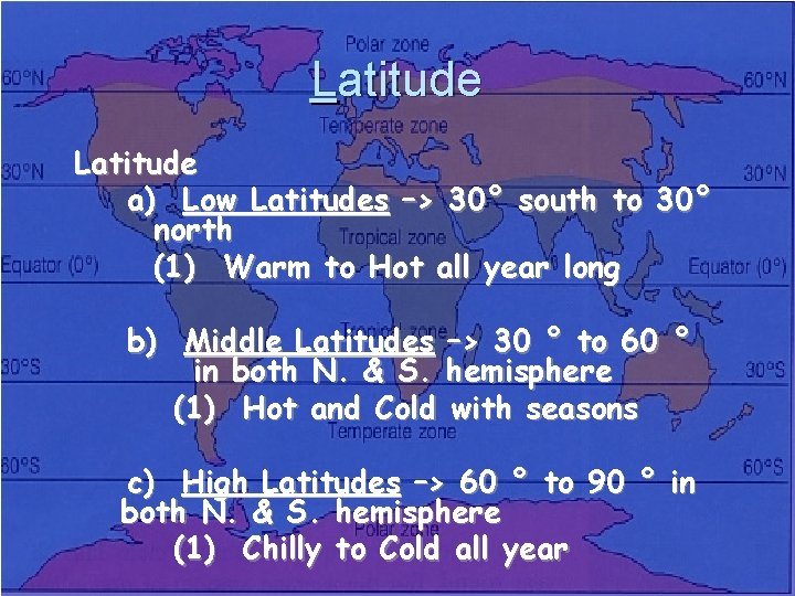
Latitude a) Low Latitudes –> 30° south to 30° north (1) Warm to Hot all year long b) Middle Latitudes –> 30 ° to 60 ° in both N. & S. hemisphere (1) Hot and Cold with seasons c) High Latitudes –> 60 ° to 90 ° in both N. & S. hemisphere (1) Chilly to Cold all year
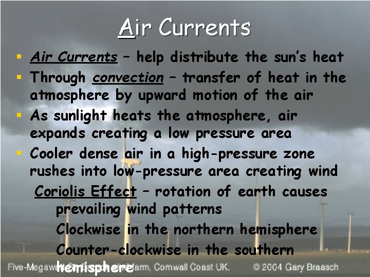
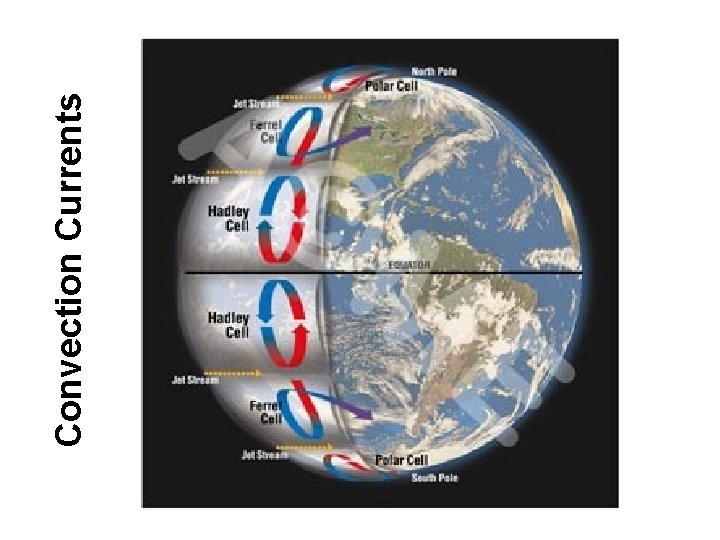
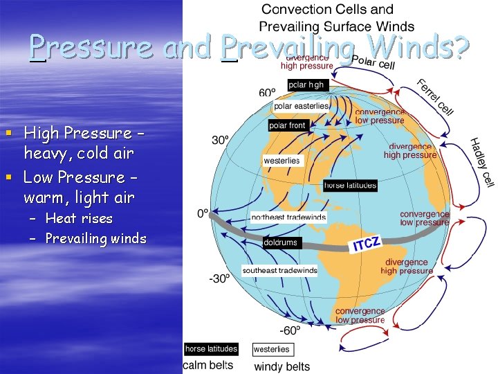
Air Currents § Air Currents – help distribute the sun’s heat § Through convection – transfer of heat in the atmosphere by upward motion of the air § As sunlight heats the atmosphere, air expands creating a low pressure area § Cooler dense air in a high-pressure zone rushes into low-pressure area creating wind Coriolis Effect – rotation of earth causes prevailing wind patterns Clockwise in the northern hemisphere Counter-clockwise in the southern hemisphere
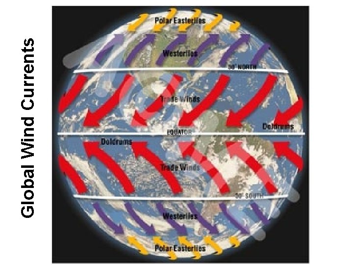
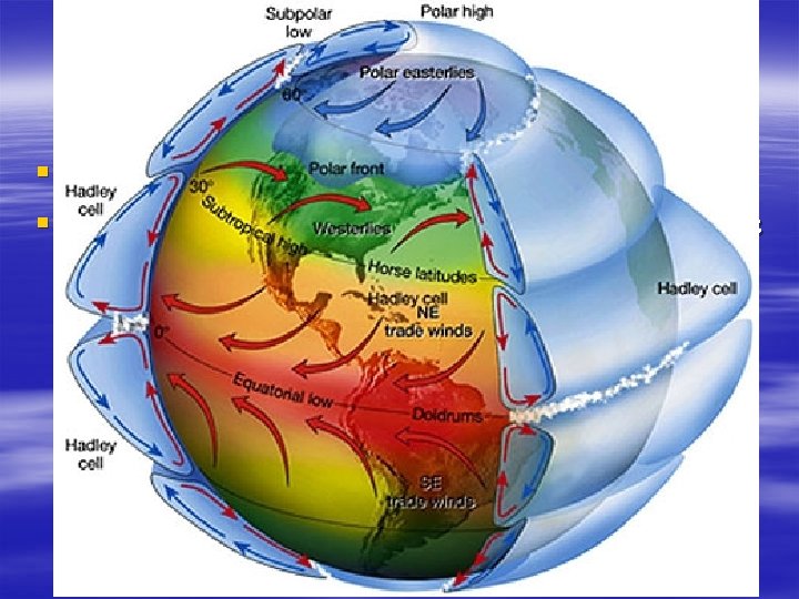
Global Wind Patterns § Same kind of circulation just on a larger scale – Hot air flows toward the poles, cold air moves toward the equator – Because the earth rotates, winds turn at an angle § In the North – turn to the right § In the South – turn to the left –Coriolis Effect – bending of the wind
Global Wind Currents
Convection Currents
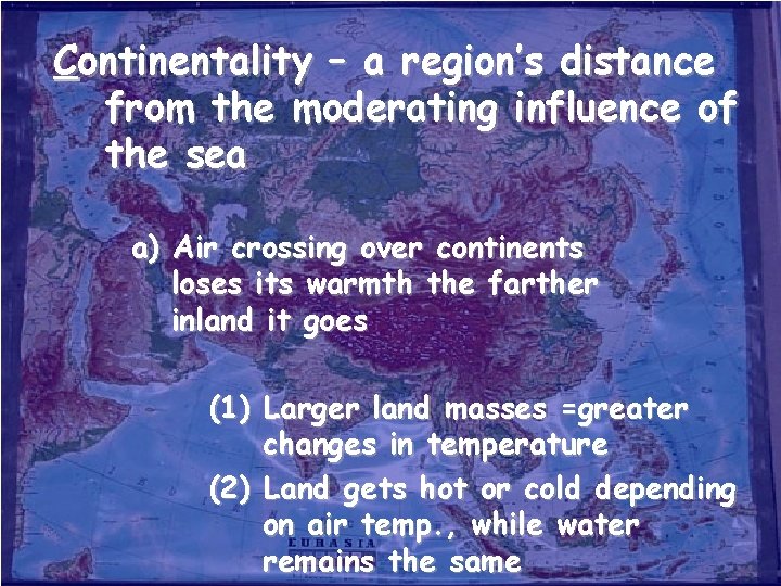
Continentality – a region’s distance from the moderating influence of the sea a) Air crossing over continents loses its warmth the farther inland it goes (1) Larger land masses =greater changes in temperature (2) Land gets hot or cold depending on air temp. , while water remains the same
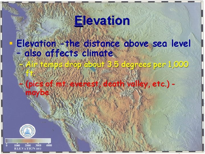
Elevation § Elevation -the distance above sea level – also affects climate – Air temps drop about 3. 5 degrees per 1, 000 ft. – (pics of mt. everest, death valley, etc. ) maybe
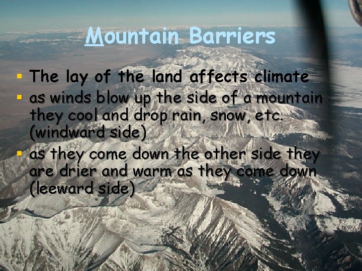
Mountain Barriers § The lay of the land affects climate § as winds blow up the side of a mountain they cool and drop rain, snow, etc. (windward side) § as they come down the other side they are drier and warm as they come down (leeward side)
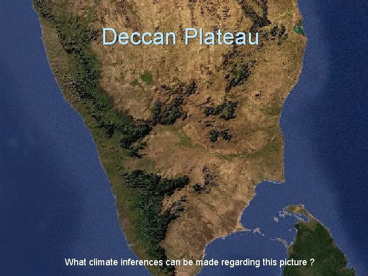
Deccan Plateau What climate inferences can be made regarding this picture ?
Ocean Currents § Like rivers flowing in the ocean – Warm waters flow away from the equator – Cold waters flow back toward the equator § Currents affect temperature of a region –Warmth of Gulf Stream and North Atlantic Drift help keep Europe’s temperature moderate –Atacama Desert in South America and Namib Desert in Africa formed partially by cold ocean currents
Pressure and Prevailing Winds? § High Pressure – heavy, cold air § Low Pressure – warm, light air – Heat rises – Prevailing winds
Storms § Storms are created by Prevailing winds § Where polar winds meet Westerlies there are storms – When hot air masses and cold air masses collide – there are storms § Cyclonic storms (hurricanes, typhoons) – Spin counter-clockwise in the Northern Hem. – Spin clockwise in the Southern Hem.
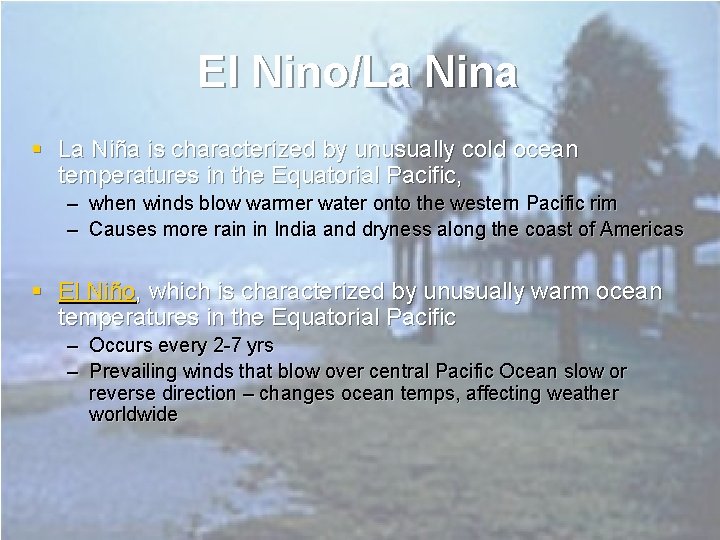
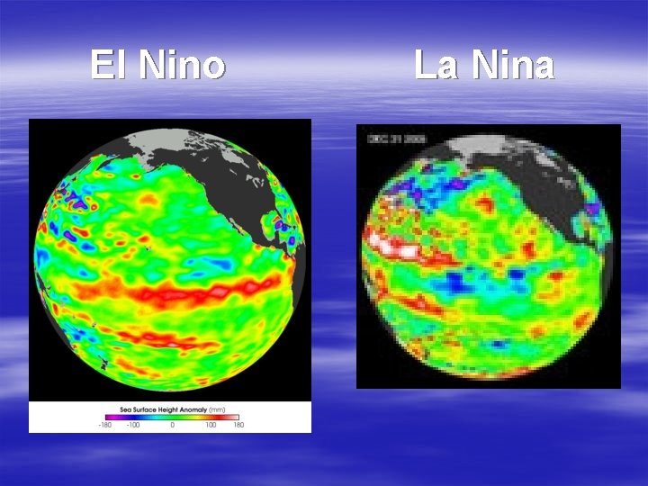
El Nino/La Nina § La Niña is characterized by unusually cold ocean temperatures in the Equatorial Pacific, – when winds blow warmer water onto the western Pacific rim – Causes more rain in India and dryness along the coast of Americas § El Niño, which is characterized by unusually warm ocean temperatures in the Equatorial Pacific – Occurs every 2 -7 yrs – Prevailing winds that blow over central Pacific Ocean slow or reverse direction – changes ocean temps, affecting weather worldwide
El Nino La Nina
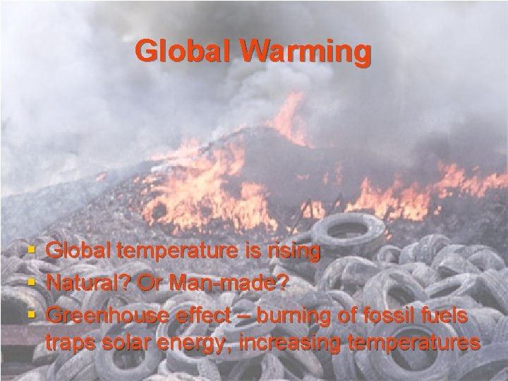
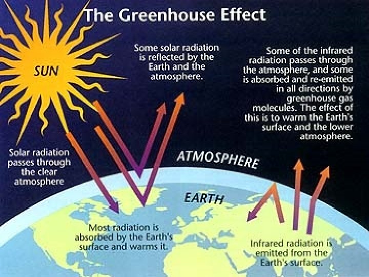
Global Warming § § § Global temperature is rising Natural? Or Man-made? Greenhouse effect – burning of fossil fuels traps solar energy, increasing temperatures
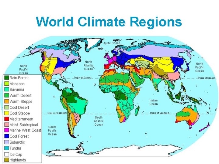
World Climate Regions
Factors in Climate Key factors in climate differences – § Rain amount § Location § Topography § Elevation § Temperature
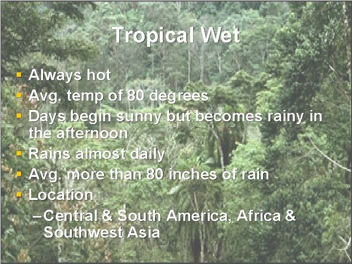
Tropical Wet § § § Always hot Avg. temp of 80 degrees Days begin sunny but becomes rainy in the afternoon Rains almost daily Avg. more than 80 inches of rain Location – Central & South America, Africa & Southwest Asia
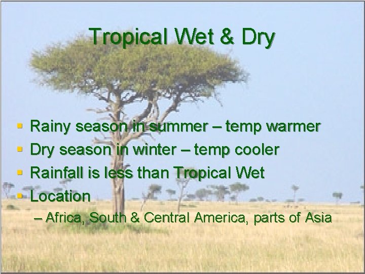
Tropical Wet & Dry § § Rainy season in summer – temp warmer Dry season in winter – temp cooler Rainfall is less than Tropical Wet Location – Africa, South & Central America, parts of Asia
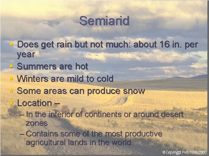
Semiarid § Does get rain but not much: about 16 in. per year § Summers are hot § Winters are mild to cold § Some areas can produce snow § Location – – In the interior of continents or around desert zones – Contains some of the most productive agricultural lands in the world
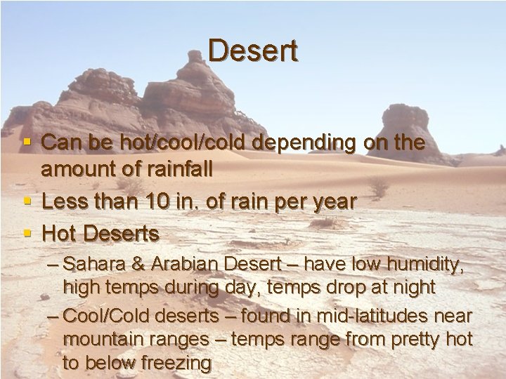
Desert § Can be hot/cool/cold depending on the amount of rainfall § Less than 10 in. of rain per year § Hot Deserts – Sahara & Arabian Desert – have low humidity, high temps during day, temps drop at night – Cool/Cold deserts – found in mid-latitudes near mountain ranges – temps range from pretty hot to below freezing
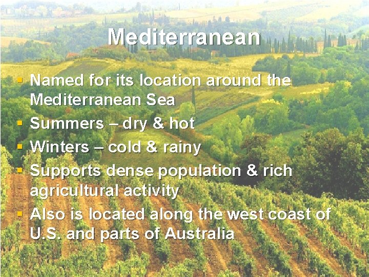
Mediterranean § Named for its location around the Mediterranean Sea § Summers – dry & hot § Winters – cold & rainy § Supports dense population & rich agricultural activity § Also is located along the west coast of U. S. and parts of Australia
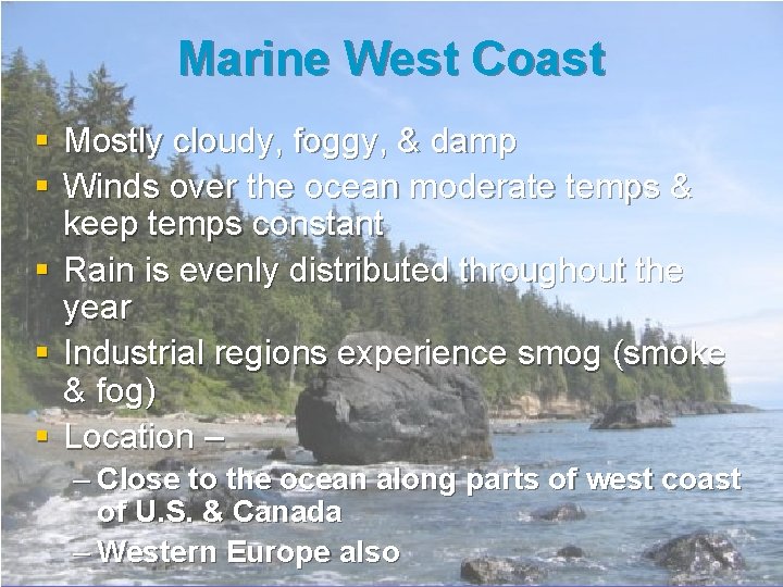
Marine West Coast § Mostly cloudy, foggy, & damp § Winds over the ocean moderate temps & keep temps constant § Rain is evenly distributed throughout the year § Industrial regions experience smog (smoke & fog) § Location – – Close to the ocean along parts of west coast of U. S. & Canada – Western Europe also
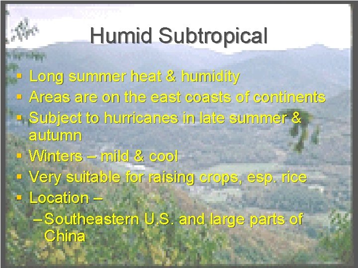
Humid Subtropical § § § Long summer heat & humidity Areas are on the east coasts of continents Subject to hurricanes in late summer & autumn Winters – mild & cool Very suitable for raising crops, esp. rice Location – – Southeastern U. S. and large parts of China
Humid Continental § Large variety of temps & rainfall § Found in mid-latitude interior of continents § Arctic air collides with tropical air to create a vast change in temps. § Length of seasons depends on latitude
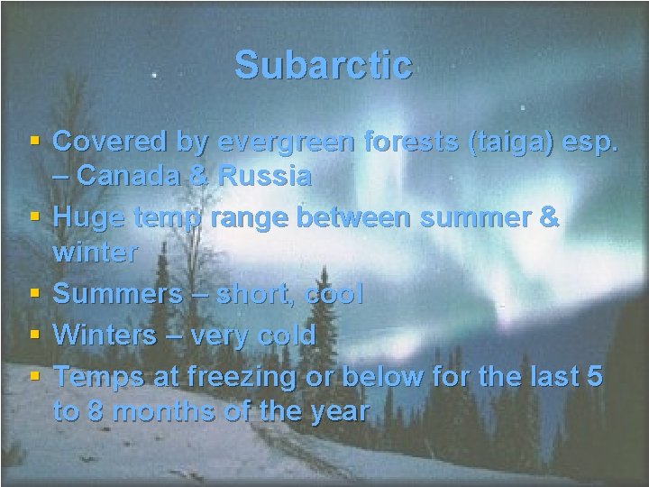
Subarctic § Covered by evergreen forests (taiga) esp. – Canada & Russia § Huge temp range between summer & winter § Summers – short, cool § Winters – very cold § Temps at freezing or below for the last 5 to 8 months of the year
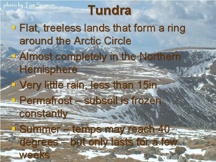
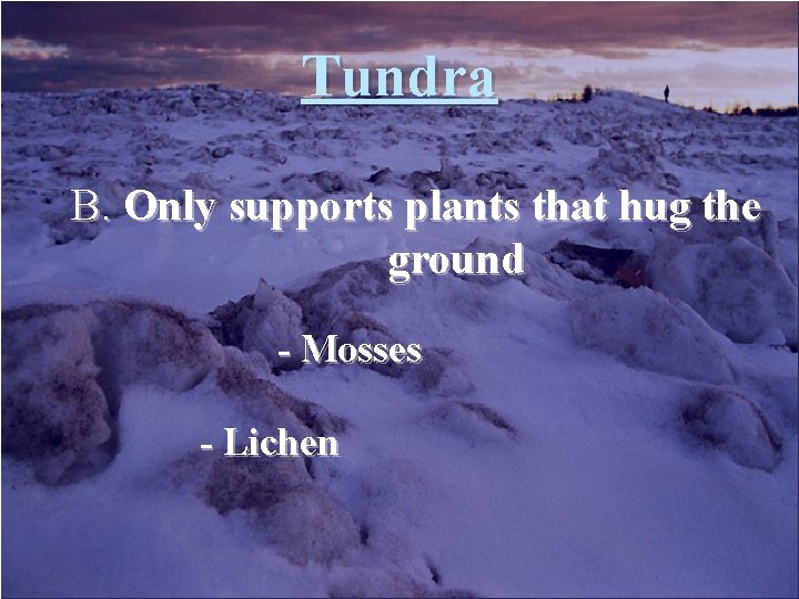
Tundra § Flat, treeless lands that form a ring around the Arctic Circle § Almost completely in the Northern Hemisphere § Very little rain, less than 15 in. § Permafrost – subsoil is frozen constantly § Summer – temps may reach 40 degrees – but only lasts for a few weeks
Highlands § Climate varies with latitude, elevation, topography, and continent location § Other factors are whether a slope is facing north or south & the kinds of winds that are carrying moisture § Many are amongst mountain ranges
Ice Cap § Snow, ice, permanently freezing temps § So cold it rarely snows! § “polar deserts” – less than 10 in. of rain a yr. § Coldest temp recorded – – 128. 6 below zero, Vostok, Antarctica
Soil Regions § Soil – a thin layer of weathered rock, humus, air, & water § Humus – organic material § World’s food supply depends greatly on the topsoil (top 6 in. of soil) § Depth, texture, & humus content determine what type of vegetation can be grown in a region
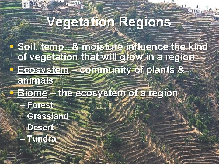
Vegetation Regions § Soil, temp. , & moisture influence the kind of vegetation that will grow in a region § Ecosystem – community of plants & animals § Biome – the ecosystem of a region – Forest – Grassland – Desert – Tundra
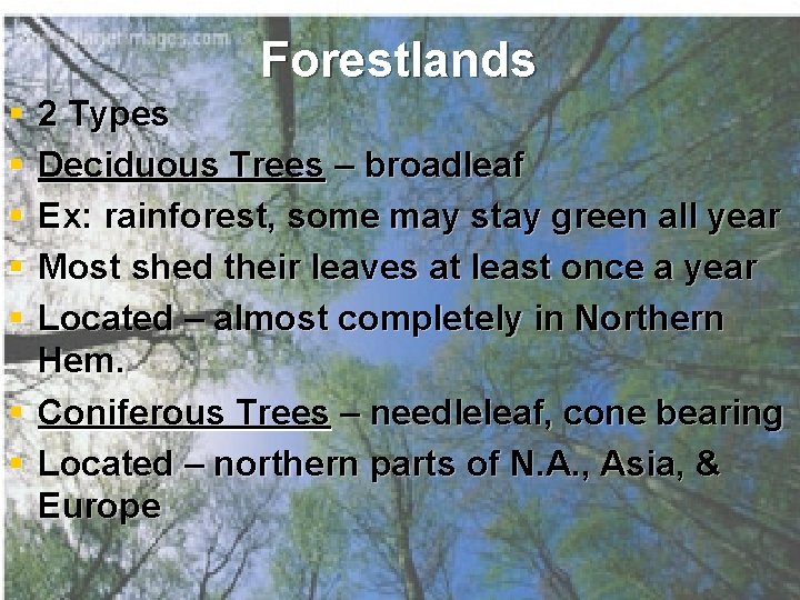
Forestlands § § § 2 Types Deciduous Trees – broadleaf Ex: rainforest, some may stay green all year Most shed their leaves at least once a year Located – almost completely in Northern Hem. § Coniferous Trees – needleleaf, cone bearing § Located – northern parts of N. A. , Asia, & Europe
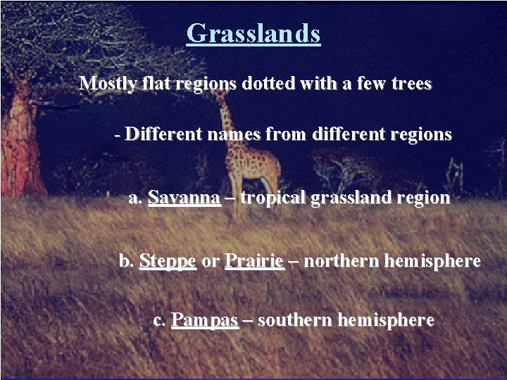
Grasslands Mostly flat regions dotted with a few trees - Different names from different regions a. Savanna – tropical grassland region b. Steppe or Prairie – northern hemisphere c. Pampas – southern hemisphere
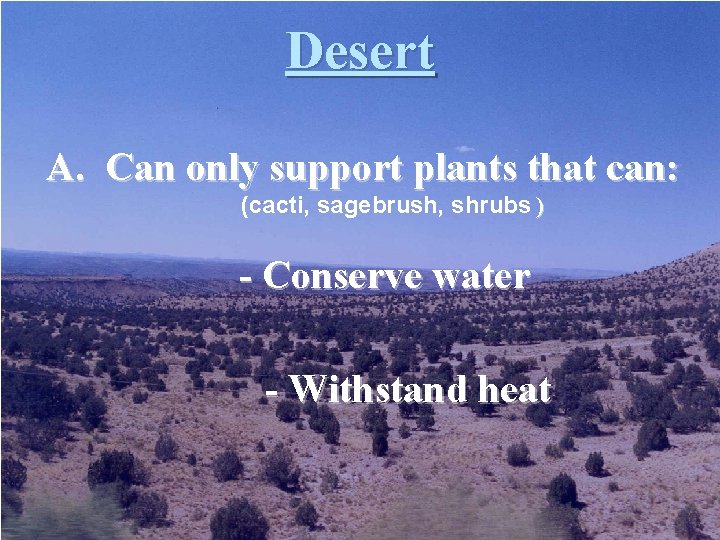
Desert A. Can only support plants that can: (cacti, sagebrush, shrubs ) - Conserve water - Withstand heat
Tundra B. Only supports plants that hug the ground - Mosses - Lichen