THEMATIC SLIDES TUNDRA AND POLAR Arctic Sea Ice


- Slides: 15

THEMATIC SLIDES

TUNDRA AND POLAR • Arctic Sea Ice • Ninnis Glacier, Antarctica • Drygalski Ice Tongue Antarctica • Filchner Ice Shelf, Antarctica • Breidamerkurjökull, Iceland • Kolka Glacier, Russia • Mt. Kilimanjaro, Tanzania • Hubbard Glacier, United States • Prudhoe Bay, United States

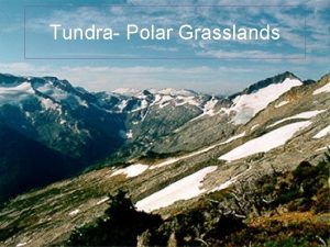
TUNDRA AND POLAR FACTS • The Earth’s tundra and polar regions are the world’s least populated regions • Arctic Tundra is in the Northern hemisphere, while Alpine Tundra is found on mountains throughout the world • Earth’s polar regions are high altitude zones: the Arctic is frozen ocean surrounded by land the Antarctic is frozen continent surrounded by ocean • Most of the world’s freshwater is locked up in polar ice caps • Arctic sea ice is melting at an alarming rate of 8. 5% per decade • 87% of the 244 marine glaciers in Antarctic Peninsula have retreated over the last 50 years Earth Observatory, UNEP 2005

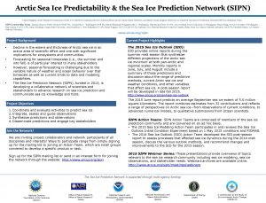
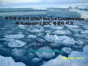
Dramatic changes in Artic Sea Ice 1979 -2003: Progressive Loss of Arctic Ice Imagine an ice-free Arctic

Calving of Ninnis Glacier, Antarctica 22 January 2000: Shows Ninnis Glacier Tongue soon after the initial calving 5 February 2002: Iceberg split into two sections and started moving away from Ninnis Glacier

Cracks on Drygalski Ice Tongue Antarctica The ice tongue was discovered in 1902 21 February 2005: Drygalski calved an iceberg Image shows cracks formed by time and ocean currents

Filchner Ice Shelf – largest by volume Antarctica Filchner Ice Shelf is the largest ice shelf on the planet In 1986, the front edge of the Ice Shelf broke off into three enormous icebergs

Shrinking Breidamerkrjökull Glacier Iceland Breidamerkurjökull glacier has been shrinking 1973 -2000: Images show glacier has receded and the glacial lake at its tip has enlarged

Collapse of Kolka Glacier, Russia Around Mt. Kazbek, dormant volcano glaciers intermittently collapse, burying the landscape below 20 September 2002: Kolka shattered, setting off a massive avalanche of ice, snow and rocks

Extent of disaster in Kolka Glacier Russia This before and after image shows the vast extent of the disaster, following the glacier’s collapse

Disappearing ice cap of Mt. Kilimanjaro Tanzania Africa’s highest mountain with a forest belt containing a rich diversity of ecosystems • 1976: Glaciers covered most of the summit • 2000: The glaciers had receded alarmingly

Calving Hubbard. Angangueo Glacier North of America: United States • 1986 – Hubbard Glacier blocks Russell • 1986: Images show Fjord Degradation of forest area • 1999 – Hubbard Glacier during the formation of the ice dam • 2001: Between 1984 and 1999, 38 per cent • 2002 – Hubbard of forests were Glacier blocks Russell degraded Fjord again • 2003 – Glacier has retreated

Hubbard Glacier Advance North America: Angangueo United States • 1986: Images show Degradation of forest area • 2001: Between 1984 and 1999, 38 per cent of forests were degraded 10 Aug 2002 14 Aug 2002

Sprawling oil fields along Prudhoe Bay United States • 1974 -1999: After the discovery of oil fields in 1968, the Bay has undergone dramatic changes

TUNDRA AND POLAR One Planet Many People: Atlas of Our Changing Environment Thank You! Free Downloads: www. na. unep. net Purchase: www. Earthprint. com
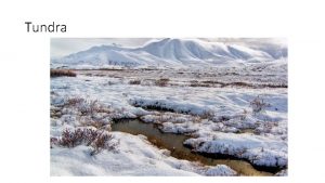
 Tundra world map
 Tundra food web examples
 The tundra is located
 Tundra food pyramid
 Eskimo 3 halolaj
 Omega 3 beyin gelişimi
 Thematic statement meaning
 Polar vs nonpolar
 Amino acid r groups
 Difference between polar and nonpolar dielectrics
 Enlace covalente polar
 Polar attractions are ...
 Fqcolindres 2 eso
 A small child slides down the four frictionless slides
 A small child slides down the four frictionless slides
 Ice cap biome

