SOUTHWEST ASIA Middle East Geography Southwest Asia Middle
 Geography")
 • The Middle East is also known as the “crossroads")


- Slides: 31
SOUTHWEST ASIA (Middle East) Geography
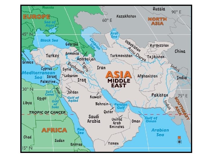
Southwest Asia (Middle East) • The Middle East is also known as the “crossroads of the world” because of its location in the center of three continents – Asia, Africa, and Europe. • Deserts are the most common physical feature here and make up 66% of the area. • Water is scarce in the region, with countries often competing over access to the rivers and seas.
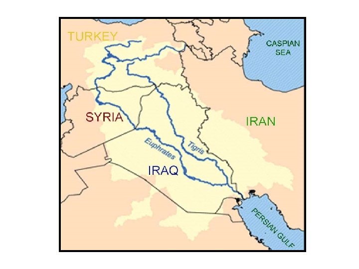
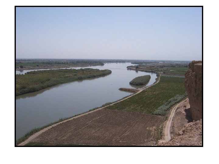
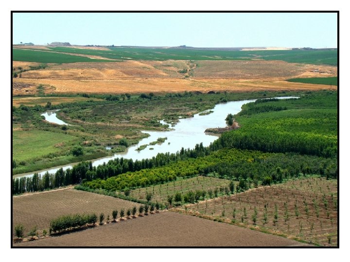
Euphrates River • The Euphrates and Tigris Rivers both start in the mountains of Turkey and run parallel to each other in some places. • The Euphrates River runs through Syria before joining with the Tigris River in southern Iraq. • It then flows along the border between Kuwait and Iran and empties into the Persian Gulf. • The Euphrates is the birthplace of the ancient civilizations of Sumer, Babylon, & Assyria. • It is a source of water for Iraq, Syria, and Turkey today.
Tigris River • The Tigris River flows through Turkey to Iraq. • Along with the Euphrates, the Tigris was a central part of ancient Middle Eastern civilizations. • Today, the rivers still provide water for both drinking and farming. • The countries that share these rivers have had problems over how the water should be shared.
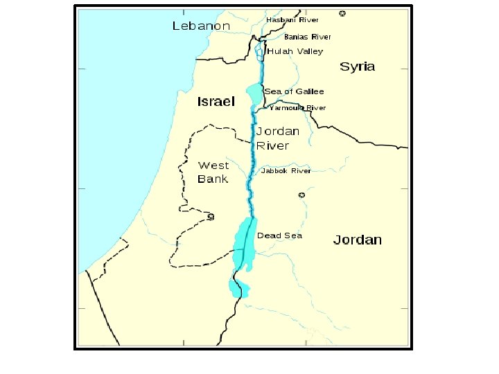
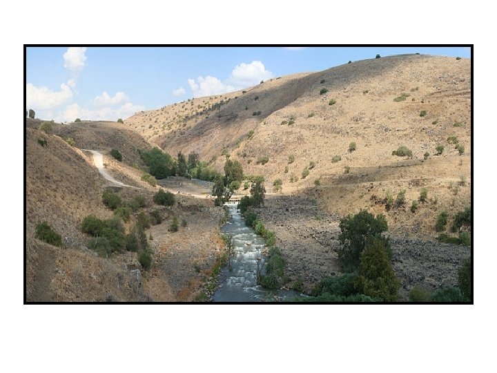
Jordan River • The Jordan River starts in the mountains of Israel, Lebanon, and Syria, and flows south until it reaches the Dead Sea. • It is only 20 feet wide at some parts and only 17 feet deep at its deepest point. • This river is a main source of water for Israel, Lebanon, Jordan, parts of Syria, & many of those living in the West Bank & the Gaza Strip. • The Jordan River is also important because it is the political boundary between Israel, the West Bank, & Jordan.
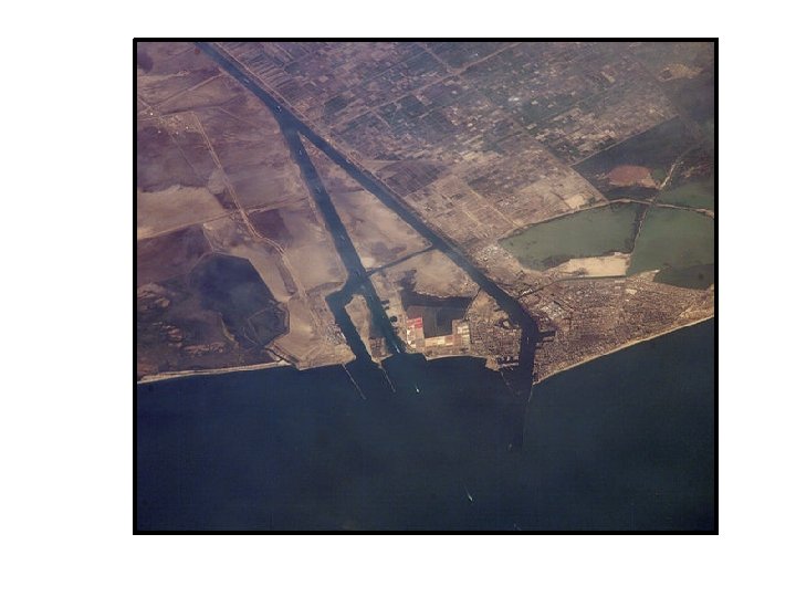
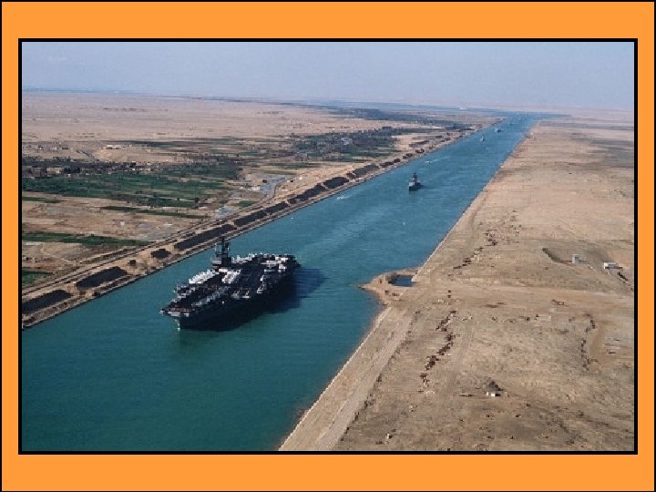
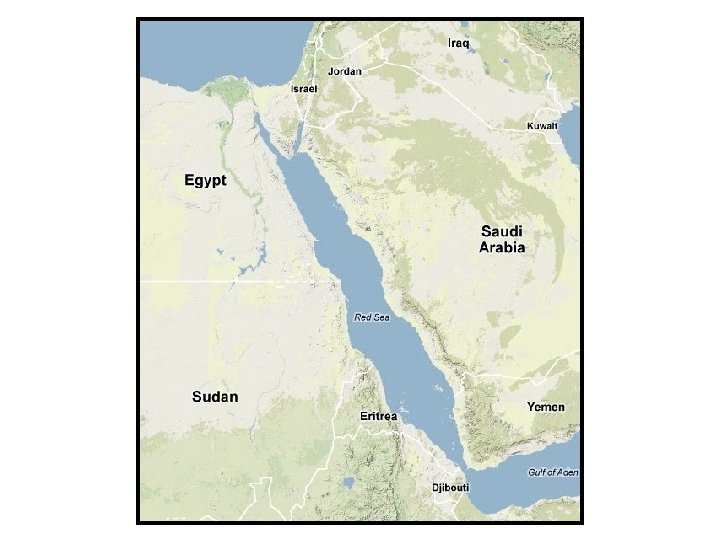
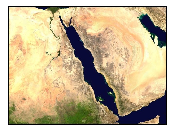
Suez Canal • The Suez Canal connects the Red Sea to the Mediterranean Sea. • It is a 120 -mile man-made waterway that is used to transport goods to and from Asia, Africa, & Europe. • The Suez Canal is an important shortcut because it allows trade between all three continents. • At the northern end of the Red Sea, ships can enter the canal and can get to the Mediterranean Sea without having to sail all around the continent of Africa.
© Brain Wrinkles
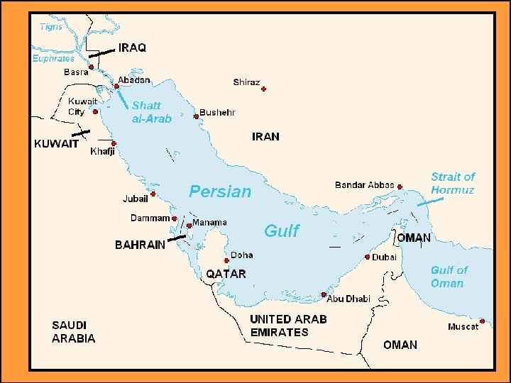
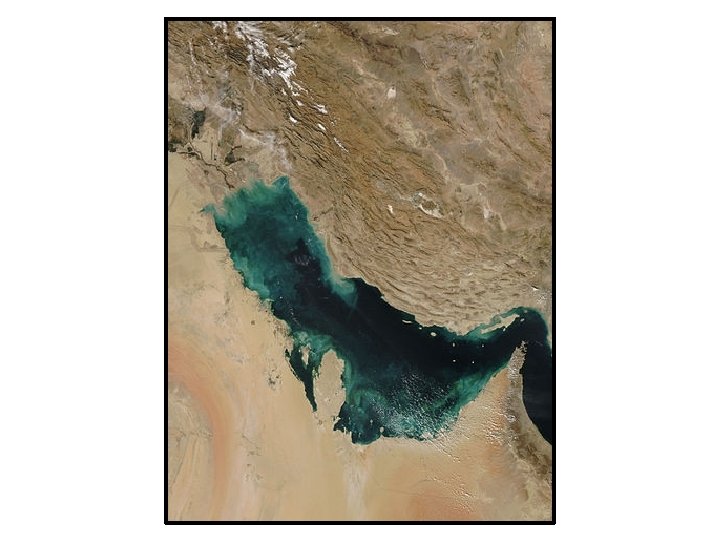
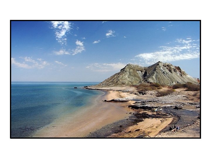
Persian Gulf • The Persian Gulf is a shallow body of water between Iran and the Arabian Peninsula. • This area holds one of the largest and most important oil fields in the world. • It is one of the main ways oil is shipped from the rich fields of Kuwait, Saudi Arabia, Iran, and other countries that line its shores. • All of the countries that produce oil in that region depend on the Persian Gulf as a shipping route.
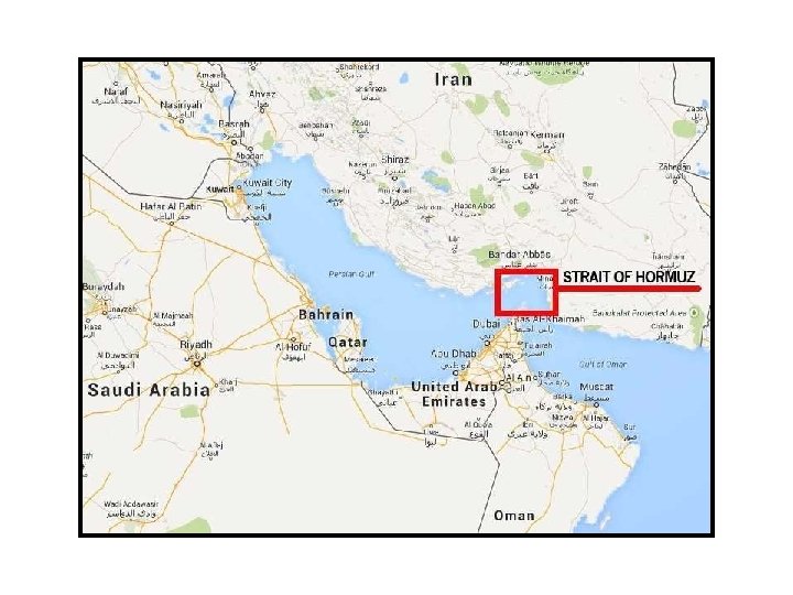
Strait of Hormuz • The Strait of Hormuz is a narrow waterway that connects the Persian Gulf to the Arabian Sea. • It is a critically important shipping channel because much of the world’s oil supply passes through this strait. • Any ships coming out of or into the Persian Gulf must navigate through this very narrow waterway. © Brain Wrinkles
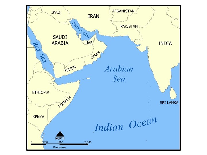
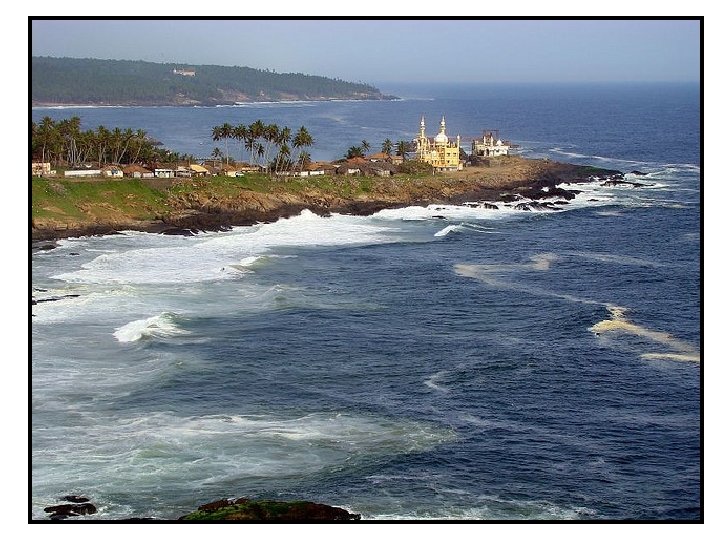
Arabian Sea • The Arabian Sea is the most northwestern part of the Indian Ocean. • It is bordered by India to the east, Pakistan and Iran to the north, and the Arabian Peninsula to the west. • For centuries, it has formed a key shipping route between Europe and the western ports of India.
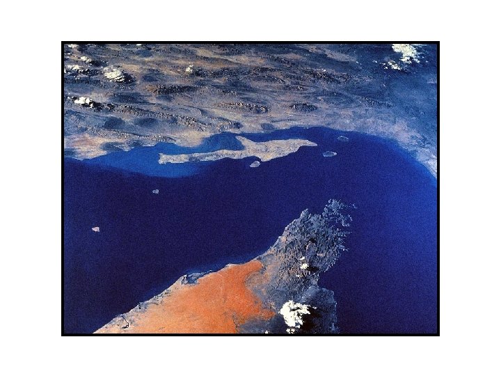
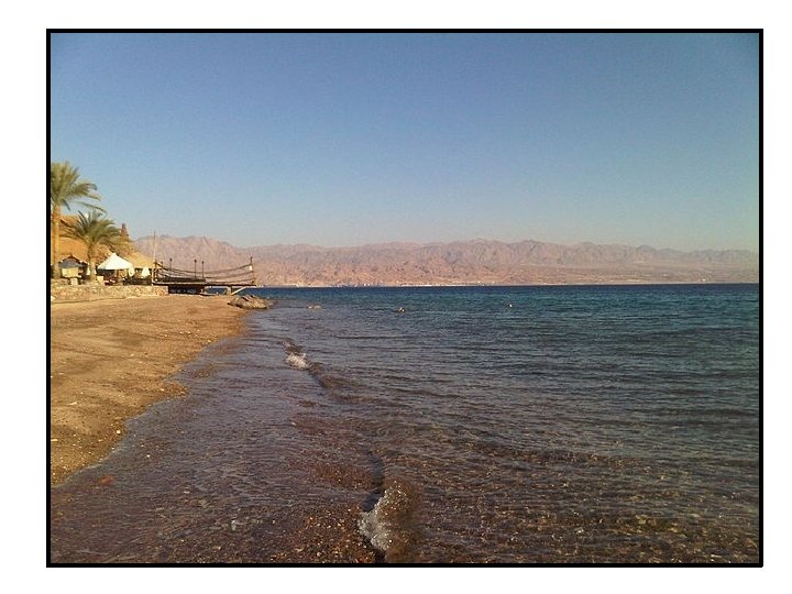
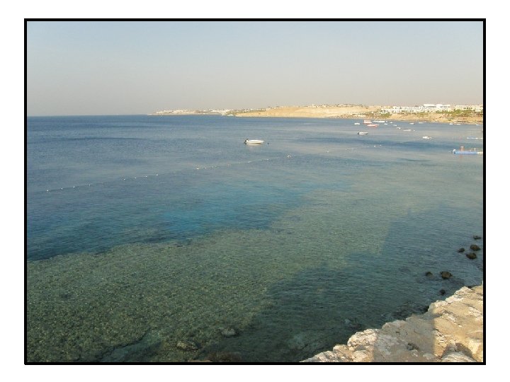
Red Sea • The Red Sea is an arm of the Indian Ocean that lies between northeast Africa and Asia. • It is linked to the Mediterranean Sea by the Suez Canal. • Because of the Red Sea’s location between Europe and East Asia, heavy shipping traffic takes place here. • During the Middle Ages, it was a key part of the Spice Trade.