
The Physical Geography of East Asia Chapter 26
- Slides: 16
The Physical Geography of East Asia Chapter 26, Section 1: The Land
Important Vocabulary ▪ Tsunami: an undersea earthquake that generates a huge wave, which gets higher and higher as it approaches the coast. ▪ Archipelago: an island chain created by volcanic activity. Ex: Japan. ▪ Loess: a rich, yellowish-brown topsoil.
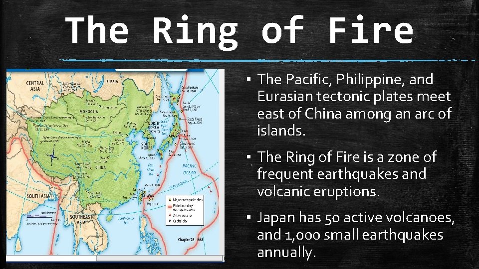
The Ring of Fire ▪ The Pacific, Philippine, and Eurasian tectonic plates meet east of China among an arc of islands. ▪ The Ring of Fire is a zone of frequent earthquakes and volcanic eruptions. ▪ Japan has 50 active volcanoes, and 1, 000 small earthquakes annually.
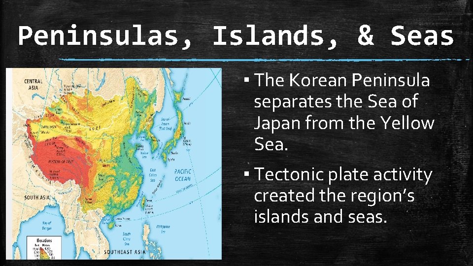
Peninsulas, Islands, & Seas ▪ The Korean Peninsula separates the Sea of Japan from the Yellow Sea. ▪ Tectonic plate activity created the region’s islands and seas.
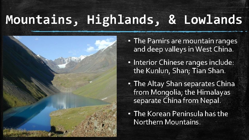
Mountains, Highlands, & Lowlands ▪ The Pamirs are mountain ranges and deep valleys in West China. ▪ Interior Chinese ranges include: the Kunlun, Shan; Tian Shan. ▪ The Altay Shan separates China from Mongolia; the Himalayas separate China from Nepal. ▪ The Korean Peninsula has the Northern Mountains.
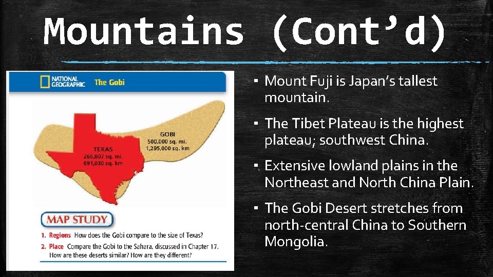
Mountains (Cont’d) ▪ Mount Fuji is Japan’s tallest mountain. ▪ The Tibet Plateau is the highest plateau; southwest China. ▪ Extensive lowland plains in the Northeast and North China Plain. ▪ The Gobi Desert stretches from north-central China to Southern Mongolia.
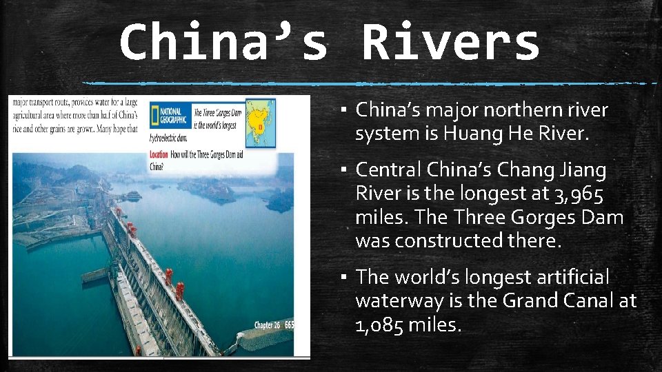
China’s Rivers ▪ China’s major northern river system is Huang He River. ▪ Central China’s Chang Jiang River is the longest at 3, 965 miles. The Three Gorges Dam was constructed there. ▪ The world’s longest artificial waterway is the Grand Canal at 1, 085 miles.
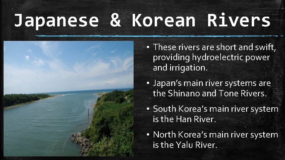
Japanese & Korean Rivers ▪ These rivers are short and swift, providing hydroelectric power and irrigation. ▪ Japan’s main river systems are the Shinano and Tone Rivers. ▪ South Korea’s main river system is the Han River. ▪ North Korea’s main river system is the Yalu River.
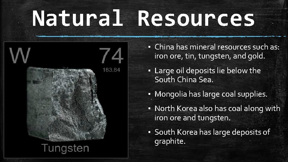
Natural Resources ▪ China has mineral resources such as: iron ore, tin, tungsten, and gold. ▪ Large oil deposits lie below the South China Sea. ▪ Mongolia has large coal supplies. ▪ North Korea also has coal along with iron ore and tungsten. ▪ South Korea has large deposits of graphite.
The Physical Geography of East Asia Chapter 26, Section 2: Climate and Vegetation
Important Vocabulary ▪ Monsoon: the movement of air masses that results in prevailing winds. ▪ Japanese Current: a warm water current, which flows northward along Japan and adds moisture to the winter monsoons. ▪ Typhoon: violent storms like a hurricane.
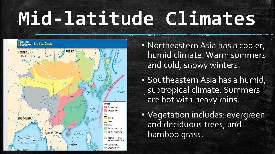
Mid-latitude Climates ▪ Northeastern Asia has a cooler, humid climate. Warm summers and cold, snowy winters. ▪ Southeastern Asia has a humid, subtropical climate. Summers are hot with heavy rains. ▪ Vegetation includes: evergreen and deciduous trees, and bamboo grass.
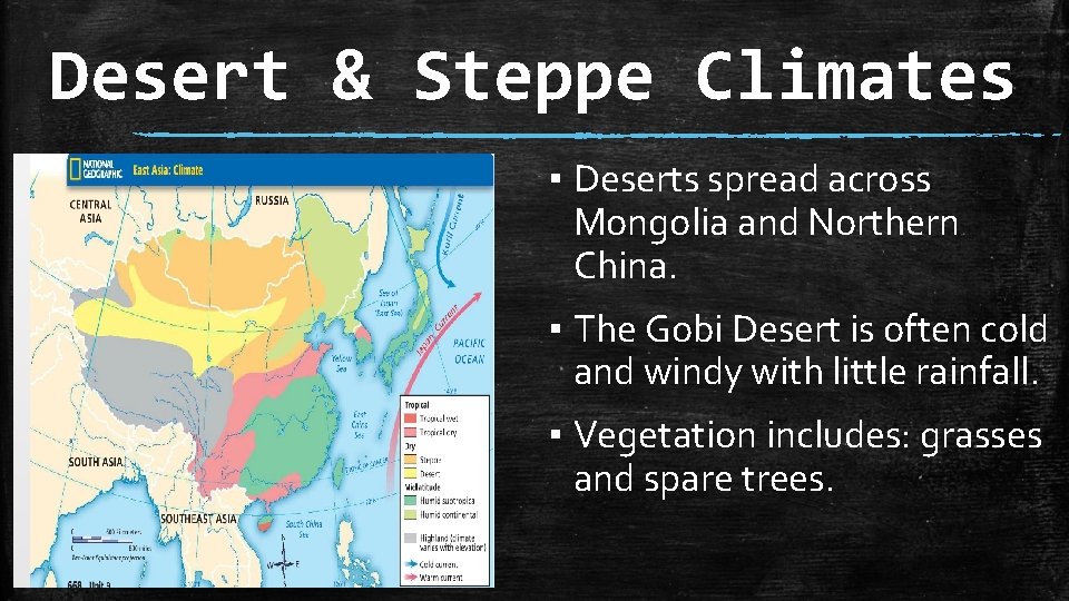
Desert & Steppe Climates ▪ Deserts spread across Mongolia and Northern China. ▪ The Gobi Desert is often cold and windy with little rainfall. ▪ Vegetation includes: grasses and spare trees.
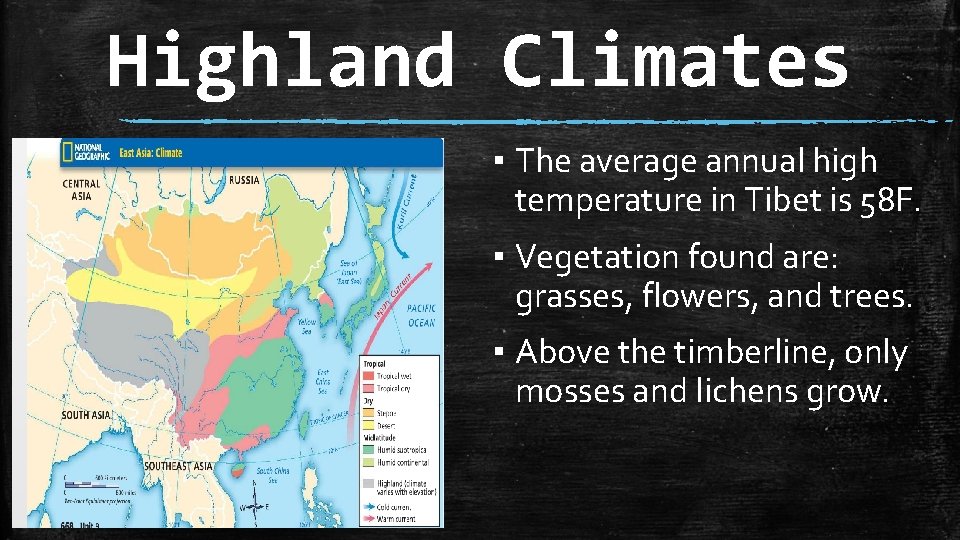
Highland Climates ▪ The average annual high temperature in Tibet is 58 F. ▪ Vegetation found are: grasses, flowers, and trees. ▪ Above the timberline, only mosses and lichens grow.
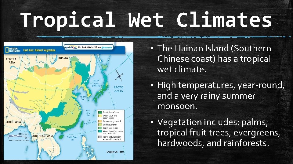
Tropical Wet Climates ▪ The Hainan Island (Southern Chinese coast) has a tropical wet climate. ▪ High temperatures, year-round, and a very rainy summer monsoon. ▪ Vegetation includes: palms, tropical fruit trees, evergreens, hardwoods, and rainforests.
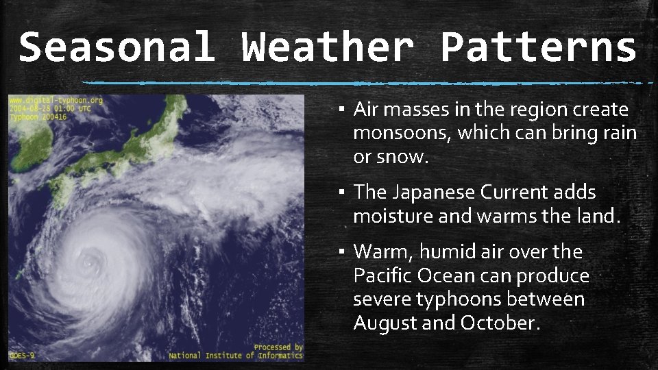
Seasonal Weather Patterns ▪ Air masses in the region create monsoons, which can bring rain or snow. ▪ The Japanese Current adds moisture and warms the land. ▪ Warm, humid air over the Pacific Ocean can produce severe typhoons between August and October.