Southwest Asia Landforms and Resources Southwest Asia It


- Slides: 36

Southwest Asia: Landforms and Resources

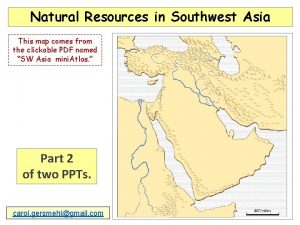
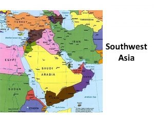
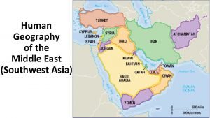
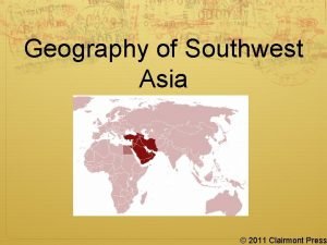
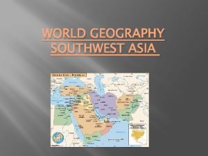
Southwest Asia. It looks like this:

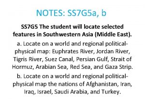
Southwest Asia encompasses the area we typically think of as the Middle-East. • The place isn’t all a big desert, so let’s look at some of the landforms.

Peninsulas • The biggest peninsula is the Arabian peninsula, which is dominated by Saudi Arabia


• The other big one is the Anatolian Peninsula, which is modern-day Turkey.


Waterways • Red Sea

• Suez Canal • Connects the Red Sea with the Mediterranean Sea, which makes it a very important waterway.


• Black Sea • Just above Turkey.


• Bosporus and Dardanelle Straits • Straits that connect the Black Sea with the Mediterranean. • Very important location since they control sea access between the two seas as well as land access from Europe to the Middle East.


Turkey’s capital city of Istanbul (it was once Constantinople) is located on the Bosporus Strait.


• Arabian Sea and the Persian Gulf • The Arabian Sea is north of the Indian Ocean and the Persian Gulf is sandwiched between Saudi Arabia and Iran.

• They’re connected by the Straits of Hormuz

• This area is very important because this is where all the Middle Eastern oil is shipped from.

• Dead Sea • We’ve looked at this one before, but one more time!

• The saltiest lake is the Dead Sea in Israel and Jordan. It has no outlet and a high evaporation rate, so the salt concentrates even more. It’s so salty (about nine times that of the ocean), it can’t support life. • Its shores are also the lowest dry point on Earth: about 1, 350 feet below sea level (you’re currently about 45 feet above sea level) • And the salinity (saltiness) allows you to float without effort. Like these guys:

That’s because the water is so much denser than you that it makes you naturally buoyant. Just don’t get the water in your eyes. It’ll sting.

• Jordan River • Important water source that also serves as the boundary between Israel and Jordan. • Flows into the Dead Sea.

• Tigris and Euphrates Rivers • Twin rivers that run through modern-day Iraq.

• The land in between the two rivers is very fertile and a lot of agriculture takes place there. • Because of this, the area is known as the fertile crescent. • Some of the earliest civilizations developed here because of its agricultural bounty.

Plains • Most of the Arabian Peninsula is dry, sandy, and flat. There’s not much there. • The wadis are dry riverbeds.

Highlands and mountains • Iranian plateau • The central area of Iran is on a plateau and surrounded by mountains. The area is laregly desert -like.


• The bulk of the Anatolian Peninsula is also a plateau

• Hejaz Mountains • On the southwestern Arabian Peninsula • Hindu Kush Mountains • In eastern Afghanistan

• Zagros Mountains • On western edge of Iran • Elburz Mountains • Taurus Mountains • Mountains

Resources • Oil. Black gold. Texas Tea. • There’s a lot of it in SW Asia… roughly half of the known oil reserves are in this region, which makes it rather important.


 Chapter 21 section 1 landforms and resources answer key
 Southwest asia landforms
 How would you describe this
 Chapter 24 the land where continents collided answer key
 Landforms and resources
 China population density
 Landforms and resources section 1
 Chapter 18 section 1 landforms and resources
 Natural resources in the canadian shield
 Chapter 5 section 1 landforms and resources
 Chapter 4 landforms water and natural resources
 South west asia and north africa map
 Political map of southwest asia and north africa
 Nationalism in india and southwest asia
 The sacred book of islam
 Southwest and central asia mapping lab answer key
 North africa and southwest asia physical geography
 Nationalism in india and southwest asia
 Nationalism in india and southwest asia
 Peninsulas and waterways in southwest asia
 North africa southwest asia physical map
 North africa and southwest asia mountains
 South asia landforms
 Environmental issues graphic organizer
 Chapter 21 physical geography of southwest asia
 Which southwest asian country is the farthest east
 Chapter 22 human geography of southwest asia
 Southwest asia hearth
 Brain wrinkles southwest asia answer key
 Somebody wanted but so us presence in sw asia
 Sw asian economies comprehension check
 Site:slidetodoc.com
 Tigris river map
 Republic in southwest arabia
 Europe partitioning in southwest asia answer key
 South west asia
 Human geography of the middle east
