MN Department of Health MN Rural Water Association


- Slides: 42
MN Department of Health & MN Rural Water Association Present Wellhead Protection Plan Webinar Series Thursday @ 11: 00 am, March 12 – April 2, 2015
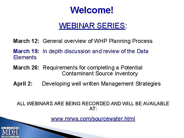
Welcome! WEBINAR SERIES: March 12: General overview of WHP Planning Process March 19: In depth discussion and review of the Data Elements March 26: Requirements for completing a Potential Contaminant Source Inventory April 2: Developing well written Management Strategies ALL WEBINARS ARE BEING RECORDED AND WILL BE AVAILABLE AT: www. mrwa. com/sourcewater. html
Getting Started Ø Refer to the “Best Practices for Attending the WHP Webinars using Web. Ex” sent to you Feb. 20 th for screen sizing & directions for submittal of questions using Web. Ex Chat. Ø Technical problems / questions can be submitted via Web. Ex chat and staff will respond to try and help resolve any technical problems as we get started. Ø Webinar questions can be submitted during the session via Web. Ex Chat and will be answered at the end of each webinar. Ø Materials for each webinar are available at: www. mrwa. com/sourcewater. html
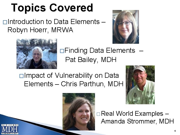
Topics Covered � Introduction to Data Elements – Robyn Hoerr, MRWA � Finding Data Elements – Pat Bailey, MDH � Impact of Vulnerability on Data Elements – Chris Parthun, MDH � Real World Examples – Amanda Strommer, MDH 4
Data Elements and Wellhead Protection Introduction to Data Elements – Robyn Hoerr, MRWA
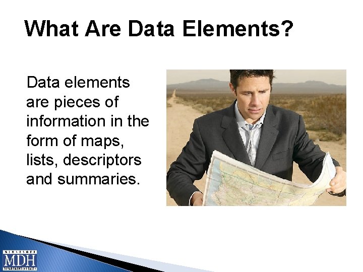
What Are Data Elements? Data elements are pieces of information in the form of maps, lists, descriptors and summaries.
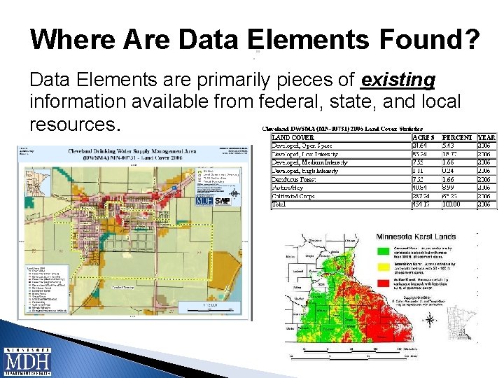
Where Are Data Elements Found? . ” Data Elements are primarily pieces of existing information available from federal, state, and local resources.
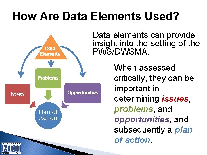
How Are Data Elements Used? . ” Data Elements Data elements can provide insight into the setting of the PWS/DWSMA. Problems Opportunities Issues Plan of Action When assessed critically, they can be important in determining issues, problems, and opportunities, and subsequently a plan of action.
How Do You Know Which Data Elements Are Required? MN Wellhead Protection Rule 4720. 5340, Subpart 1: Required data element information that the MDH has determined must be contained in the WHP plan and used to prepare the remaining portion of the WHP plan.
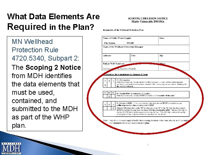
What Data Elements Are Required in the Plan? MN Wellhead Protection Rule 4720. 5340, Subpart 2: The Scoping 2 Notice from MDH identifies the data elements that must be used, contained, and submitted to the MDH as part of the WHP plan. . ”
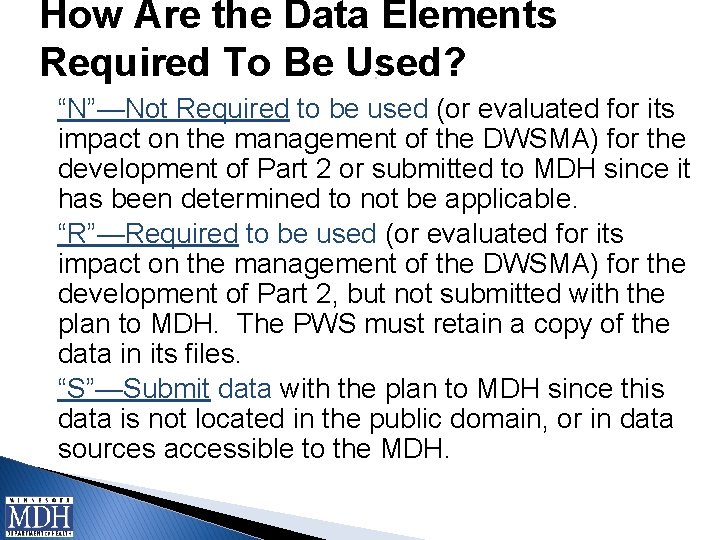
How Are the Data Elements Required To Be Used? . ” “N”—Not Required to be used (or evaluated for its impact on the management of the DWSMA) for the development of Part 2 or submitted to MDH since it has been determined to not be applicable. “R”—Required to be used (or evaluated for its impact on the management of the DWSMA) for the development of Part 2, but not submitted with the plan to MDH. The PWS must retain a copy of the data in its files. “S”—Submit data with the plan to MDH since this data is not located in the public domain, or in data sources accessible to the MDH.
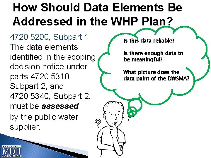
How Should Data Elements Be. ” Addressed in the WHP Plan? 4720. 5200, Subpart 1: The data elements identified in the scoping decision notice under parts 4720. 5310, Subpart 2, and 4720. 5340, Subpart 2, must be assessed by the public water supplier. Is this data reliable? Is there enough data to be meaningful? What picture does the data paint of the DWSMA?
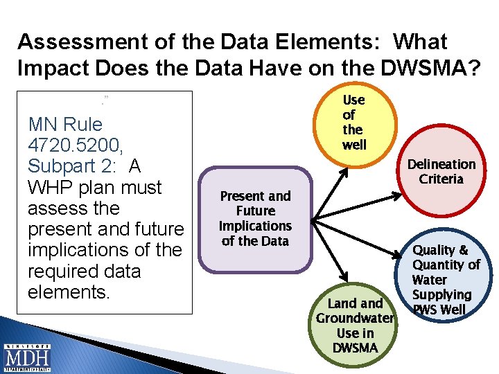
Assessment of the Data Elements: What Impact Does the Data Have on the DWSMA? Use of the well . ” MN Rule 4720. 5200, Subpart 2: A WHP plan must assess the present and future implications of the required data elements. Delineation Criteria Present and Future Implications of the Data Land Groundwater Use in DWSMA Quality & Quantity of Water Supplying PWS Well
Let’s Define Specific Data Elements And Where They Can Be Located Finding Data Elements– Pat Bailey, MDH Picture here
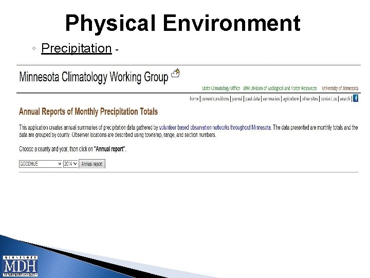
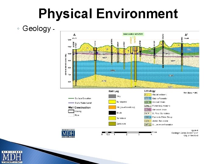
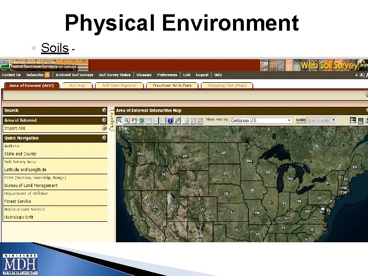
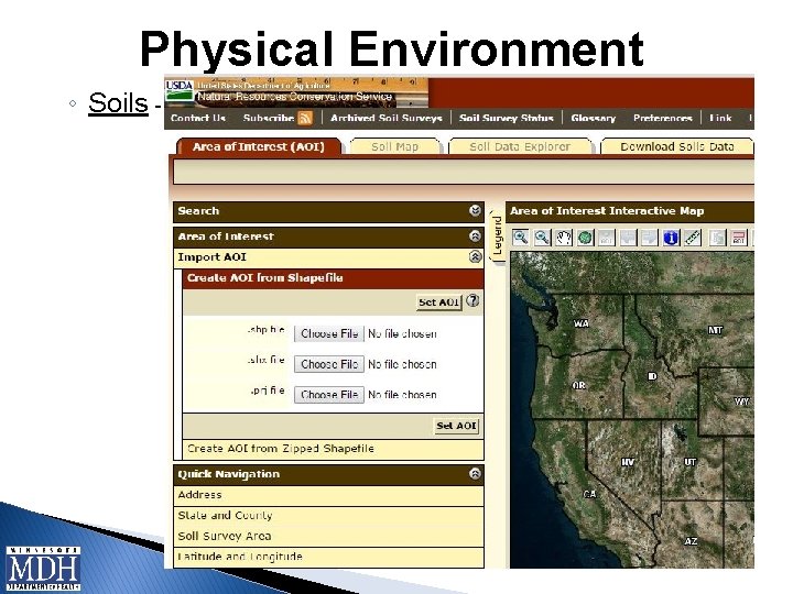
Data Elements. ” � Data Elements are categorized into four areas: ◦ Physical Environment - describe the DWSMA in regard to physical characteristics including precipitation, geology, soils, and surface water resources ◦ Land Use – provide detail regarding the location of the DWSMA in reference to local government jurisdictions, LGU zoning and land use planning districts, public utility services, and the potential contaminant source inventory. ◦ Water Quantity – relate to how much water there is in the DWSMA, who is using it, and possible water use conflicts ◦ Water Quality – relate to the water quality of the groundwater and surface waters in the DWSMA, locations with past contamination incidences and possible risks posed by these to the source water supply
Physical Environment ◦ Precipitation -
Physical Environment ◦ Geology -
Physical Environment ◦ Soils -
Physical Environment ◦ Soils -
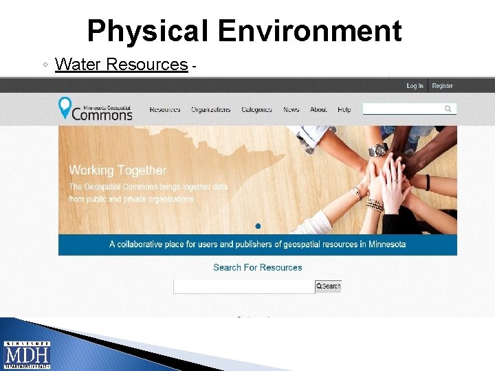
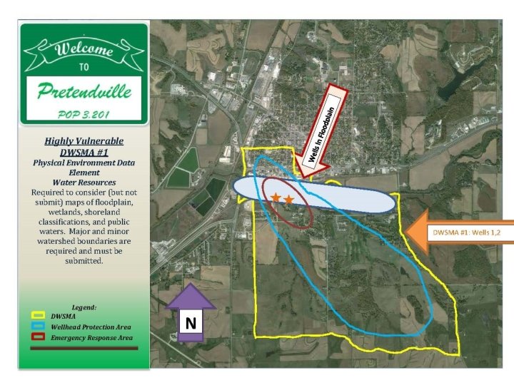
Physical Environment ◦ Water Resources -
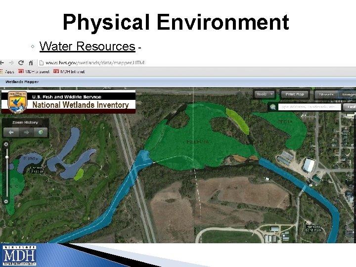
Physical Environment ◦ Water Resources -
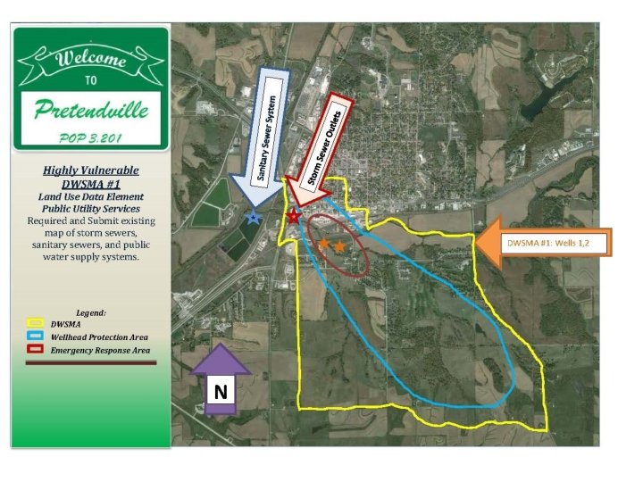
Land Use. ” ◦ Land Use �Maps of parcel boundaries, political boundaries, PLSS �PCSI and land uses �Comprehensive map �Zoning map ◦ Public Utilities – �Map of transportation routes and corridors �Maps of storm sewers, sanitary systems and public water supply system (optional) �Map of gas and oil pipelines �Map or list of public drainage systems
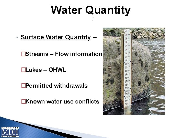
Water Quantity. ” ◦ Surface Water Quantity – �Streams – Flow information �Lakes – OHWL �Permitted withdrawals �Known water use conflicts
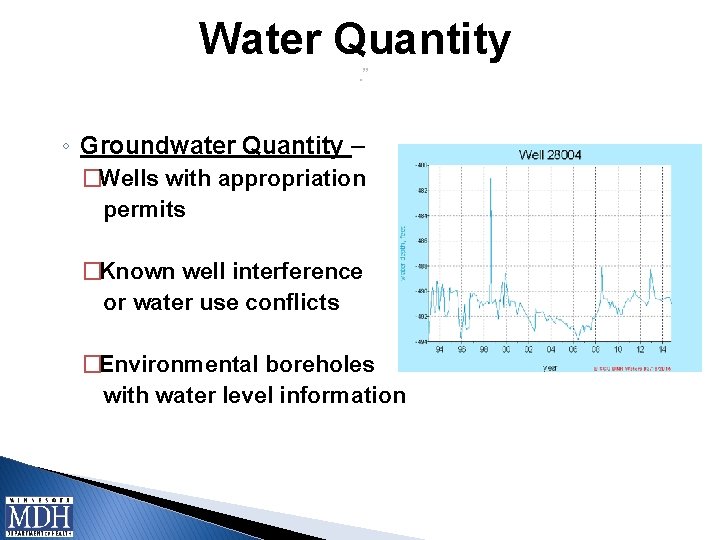
Water Quantity. ” ◦ Groundwater Quantity – �Wells with appropriation permits �Known well interference or water use conflicts �Environmental boreholes with water level information
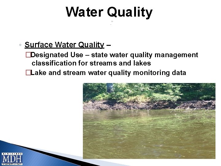
Water Quality. ” ◦ Surface Water Quality – �Designated Use – state water quality management classification for streams and lakes �Lake and stream water quality monitoring data
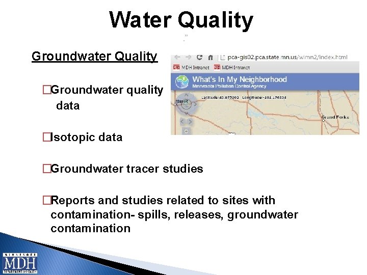
Water Quality. ” Groundwater Quality �Groundwater quality data �Isotopic data �Groundwater tracer studies �Reports and studies related to sites with contamination- spills, releases, groundwater contamination
Now That We Understand Data Elements, Let’s Investigate How Vulnerability Affects Their Use in WHP Plans Impact of Vulnerability on Data Elements – Chris Parthun, MDH
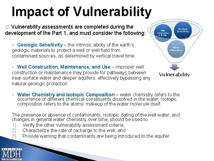
Impact of Vulnerability assessments are completed during the development of the Part 1, and must consider the following: � ◦ Geologic Sensitivity – the intrinsic ability of the earth’s geologic materials to protect a well or well field from contaminant sources, as determined by vertical travel time. ◦ Well Construction, Maintenance, and Use – improper well construction or maintenance may provide for pathways between near-surface water and deeper aquifers, effectively bypassing any natural geologic protection. Well Constructio n & Use Geologic Sensitivity Water Chemistry Vulnerability ◦ Water Chemistry and Isotopic Composition – water chemistry refers to the occurrence of different chemical constituents dissolved in the water; isotopic composition refers to the atomic makeup of the water molecule itself. The presence or absence of contaminants, isotopic dating of the well water, and changes in general water chemistry over time, should be used to: 1) Verify the other vulnerability assessment criteria, 2) Characterize the rate of recharge to the well, and 3) Provide warning that contaminants are being introduced to the aquifer.
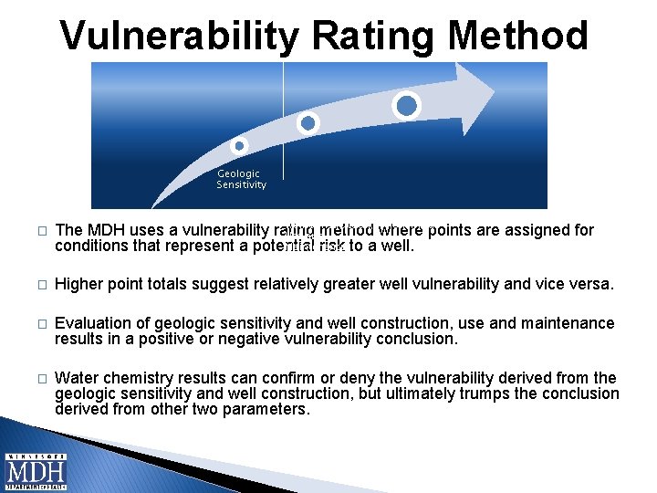
Vulnerability Rating Method Geologic Sensitivity Well Construction, Use and Maintenance Water Chemistry � The MDH uses a vulnerability rating method where points are assigned for conditions that represent a potential risk to a well. � Higher point totals suggest relatively greater well vulnerability and vice versa. � Evaluation of geologic sensitivity and well construction, use and maintenance results in a positive or negative vulnerability conclusion. � Water chemistry results can confirm or deny the vulnerability derived from the geologic sensitivity and well construction, but ultimately trumps the conclusion derived from other two parameters.
Vulnerability Consideration. ” � Physical Environment (Mn Rule 4720. 5400, subpart 2) ◦ Precipitation ◦ Geology ◦ Soil Conditions ◦ Water Resources � Land Use (Mn Rule 4720. 5400, subpart 3) ◦ ◦ ◦ � Parcel and Political Boundaries Current and Historical Land Use Potential Contaminant Sources Ordinances, Comprehensive Plans Public Utility Services Water Quantity (Mn Rule 4720. 5400, subpart 4) ◦ Surface Water ◦ Groundwater � Water Quality (Mn Rule 4720. 5400, subpart 5) ◦ Surface Water ◦ Groundwater
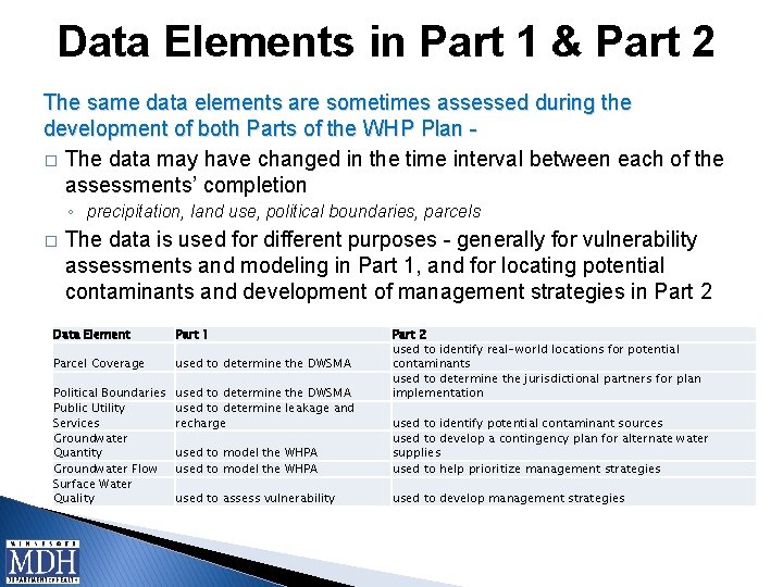
Data Elements in Part 1 & Part 2 The same data elements are sometimes assessed during the development of both Parts of the WHP Plan � The data may have changed in the time interval between each of the assessments’ completion ◦ precipitation, land use, political boundaries, parcels � The data is used for different purposes - generally for vulnerability assessments and modeling in Part 1, and for locating potential contaminants and development of management strategies in Part 2 Data Element Part 1 Parcel Coverage used to determine the DWSMA Political Boundaries Public Utility Services Groundwater Quantity Groundwater Flow Surface Water Quality used to determine the DWSMA used to determine leakage and recharge Part 2 used to identify real-world locations for potential contaminants used to determine the jurisdictional partners for plan implementation used to model the WHPA used to identify potential contaminant sources used to develop a contingency plan for alternate water supplies used to help prioritize management strategies used to assess vulnerability used to develop management strategies
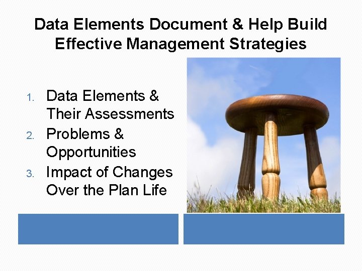
Data Elements Document & Help Build Effective Management Strategies 1. 2. 3. Data Elements & Their Assessments Problems & Opportunities Impact of Changes Over the Plan Life
Data Elements & Vulnerability As vulnerability increases: ◦ The risk of contaminants entering the drinking water supply increases, ◦ More data elements will be required to be assessed to gain an understanding of the vulnerability, ◦ The PCSI will include an increasing number of PCs that are required to be inventoried, and ◦ Implementation measures to manage the identified PCs will increase in number and complexity.
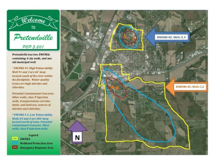
Let’s Apply What We’ve Learned About Data Elements and Vulnerability Real World Hypothetical Examples – Amanda Strommer, MDH
Real World Scenarios �Non-Vulnerable Setting �Vulnerable Setting Once Upon A Time…
Coming Attractions Thursday, March 26 Webinar on Potential Contaminant Source Inventory Action, Adventure, & Mystery PCS I
Summary � Data elements are pieces of information in the form of maps, lists, descriptors and summaries. � Data elements collectively describe the Physical Environment, Land Use, Water Quantity, and Water Quality. � Data element requirements and assessments are based on vulnerability assessments, and they document and help build effective management strategies. � Use the data elements to inform the contaminant source inventory and identification of the issues, problems, opportunities, goals, and management strategies. 40
Information in this document is available in alternative formats to individuals with disabilities upon request by contacting George Minerich at (320) 223 -7314 or George. Minerich@state. mn. us
Questions? Questions are guaranteed in life; answers aren’t! “The questions we don’t ask become the puzzles we don’t solve. ” -A. J. Darkholme, Rise of the 42