MILITARY UNIVERSITY OF TECHNOLOGY Structure of the Military
- Slides: 11
MILITARY UNIVERSITY OF TECHNOLOGY
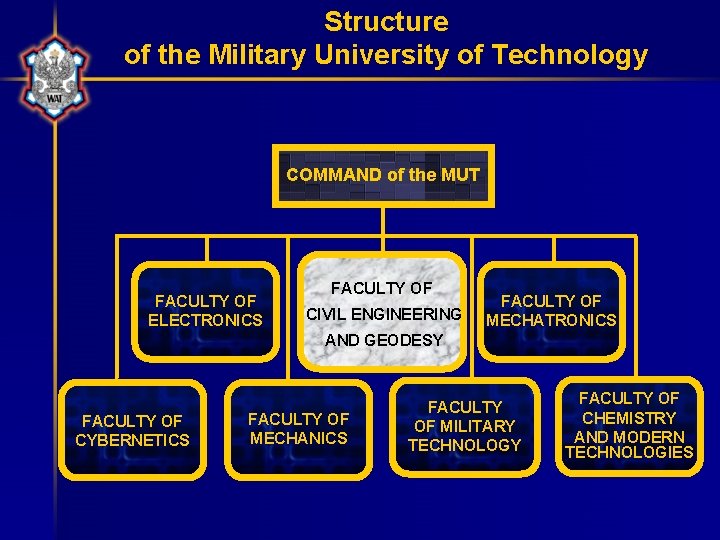
Structure of the Military University of Technology COMMAND of the MUT FACULTY OF ELECTRONICS FACULTY OF CIVIL ENGINEERING FACULTY OF MECHATRONICS AND GEODESY FACULTY OF CYBERNETICS FACULTY OF MECHANICS FACULTY OF MILITARY TECHNOLOGY FACULTY OF CHEMISTRY AND MODERN TECHNOLOGIES
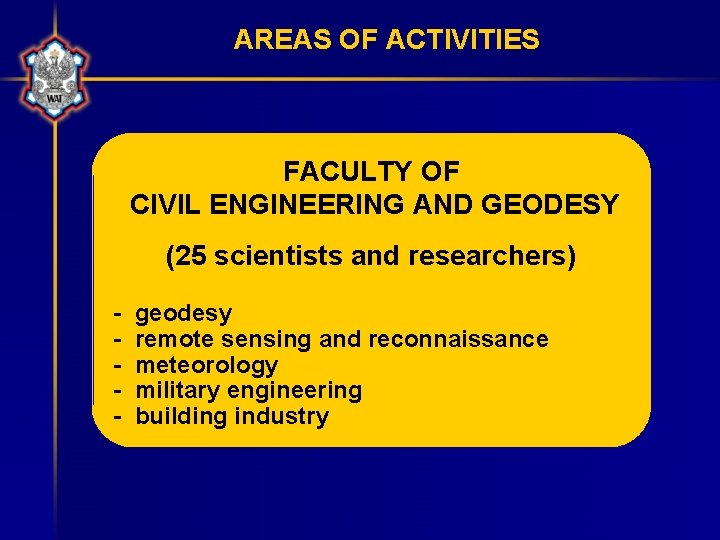
AREAS OF ACTIVITIES FACULTY OF CIVIL ENGINEERING AND GEODESY (25 scientists and researchers) - geodesy remote sensing and reconnaissance meteorology military engineering building industry
Research areas • information systems for military applications: – geodetic and cartographic – remote sensing – meteorological • meteorological systems for support of decision making for air force commands and aviation management • local and global weather conditions analysis and forecasting • acquisition and management of data in GIS for crisis management
Main current projects • Non-hydrostatic mesoscale model’s data application to meteorological support of air force and aviation • Hyper-spectral imagery acquisition system for reconnaissance: – visible range – near infrared range
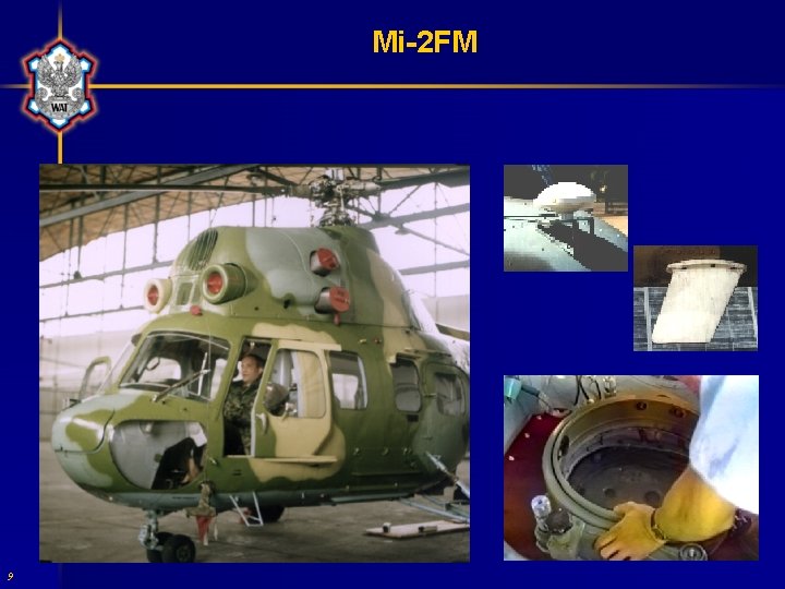
15 years of experience • conducting Open Skies observation flights using: – analog and digital cameras: • frame, panoramic, thermal and video – scanners – radars • designing equipment sets to mount onboard and in pods: – optoelectronic reconnaissance system on helicopters (Falcon, Mi-2) • imagery data acquisition: – military objects – natural disasters monitoring (floods) • knowledge of technologies and equipment for imagery data acquisition and processing
Onboard observation equipment • Side-Looking Airborne Radar – oil detection and monitoring on the sea surface • Infrared/Ultraviolet Scanner – contamination layer thickness measurement • Laser Fluorescent Sensor – very thin contamination layers measurements, identifying contamination (oil, chemical agents, algae) • Microwave Radiometer – night observations and measurements of contamination • multispectral scanner • Sun eclipse observation equipment
Onboard support • recording and communication systems – digital frame and line cameras (high resolution, B&W, RGB and NIR) – video cameras – Inertial Navigation System combined with Satellite Navigation System for aircraft trajectory real time monitoring • stabilizing platforms • observation crews • mission monitoring means
Mi-2 FM 9
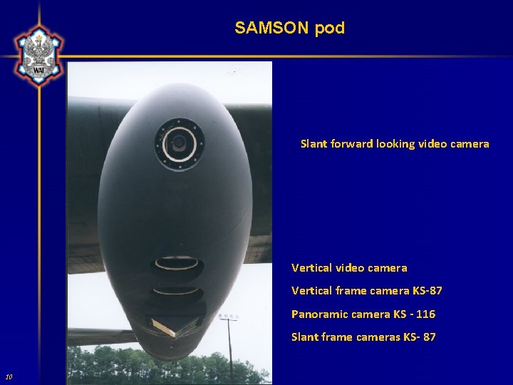
SAMSON pod Slant forward looking video camera Vertical frame camera KS-87 Panoramic camera KS - 116 Slant frame cameras KS- 87 10
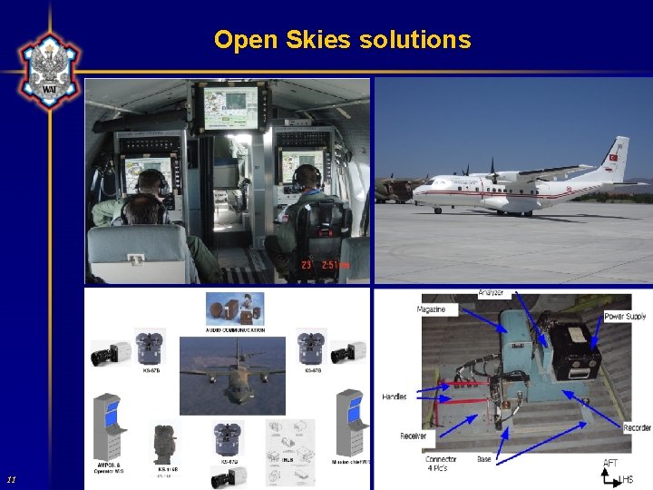
Open Skies solutions 11 11