Land Administration System of Sierra Leone Measures to


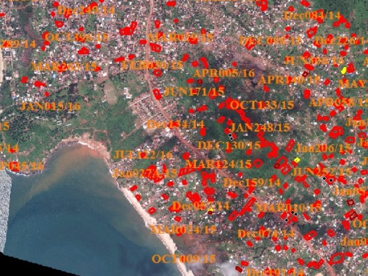
 Survey Site")


")


- Slides: 22
Land Administration System of Sierra Leone Measures to Improve Access to Land Resources in Relation to the World Bank Group Methodology for Registering Property Presented by Alpha I. Turay Coordinator Sierra Leone Information Systems (SLIS) Ministry of Lands Country Planning & The Environment (MLCPE) Mobile: 076 628 920 Email: alpha. turay@gmail. com
Doing Business Methodology for Registering Property • • • Reliability of infrastructure Index (0 – 8) Transparency of information index (0 – 6) Geographic coverage Index (0 – 8) Land dispute resolution Index (0 – 8) Equal access to property rights (-2– 0) Quality of land administration Index (0 – 30)
Reliability of infrastructure Index • • • Type of system for archiving information on land ownership Availability of electronic database to check for encumbrances Type of system for archiving maps Availability of geographic information system Link between property ownership registry and mapping
Transparency of information Index • Accessibility of information on land ownership • Accessibility of maps of lands plots • Publication of fee schedules, lists of registration documents, services standards • Availability of a specific and separate mechanism for complaints • Publication of statistics about the number of property transactions
Geographic coverage Index • Coverage of land registry at the level of the largest business city and the economy • Coverage of mapping agency at the level of the largest business city and the economy Land dispute resolution Index • Legal framework for immovable property registration • Mechanisms to prevent and resolve land disputes
Equal access to property rights • Unequal ownership rights to property between unmarried men and women • Unequal ownership rights to property between married men and women Quantity of land administration Index Sum of the reliability of infrastructure, transparency of information, geographic coverage, land dispute resolution indices and equal access to property rights
The Current Situation 1. Existing records storage and management system is partly computerised 2. Search and verification of claims is slow and prone to errors 3. Service delivery is slow 4. Only a small percentage of land owners have registered survey documents or certificate. 5. Most land holders have no documentary evidence of their property rights
State Land Lease Applicants MINISTER DIRECTOR OF SURVEYS & LANDS & (PS) Survey Site Inspection Survey Plan Apps. Computation GIS Signature
Private Land Survey Plan Licensed Surveyor Director of Surveys & Lands 4 ENCUMBRANCES Charting 3 e State Lands 2 Computation 1 Survey Plan Comps. a GIS b GIS & Hard Copy Files c d
Some Preliminary Interventions • The Land Registration Project • The Urban Planning Project Current Interventions • The SOLA Project • The SLLIS Project
Reforms • A New National Land Policy Established • Developing a Land Information System to support the land market • Improve access for private investments in progressive agriculture and urban development • Improve security to the land registration system is envisage
Measures taken to improve access to land Objective: Develop a transparent and standardised modern Land Registration system, supported by an integrated, spatially referenced land information system to serve the needs of a growing economy Multi-phased activity focusing on land rights, land use and land valuation • Phase I: Preliminary Design of the Land Information System Strategy for Securing of Land Records TWO years • Phase II: Detailed Design, Installation and Pilot Implementation program will train and pilot SLLIS in the Western Area and two additional districts with the highest volume of land transactions over TWO years. • Phase III: SLLIS Roll-out and Cadastral Information Decentralization to include ALL districts over 3 - 7 years (to 2023).
The Sierra Leone Land Information System (SLLIS)
Property Details Interface
SLLIS Computations Interface
Property Owner Interface
Boundary Delineation
Site Plan
Land Services Delivery Improvement Activities • Harmonizing overlapping surveys, including Geo-referencing. • Comprehensive Inventory and Repossession of all state Lands • Systematic Adjudication, Demarcation, Surveying and Registration of Customary Land Rights • Public Education, Mass Sensitization and communication program for policies and laws
Benefits • To Be More Responsive to the needs of citizens and business clients • Increase data access and transparency, and to eliminate fraudulent practices • Introduce new land administration technologies • Easy electronic exchange of data and Information • Efficiency benefits include: ü ü ü Maximizing use of land asset as collateral for development, Lower transaction costs by avoiding duplication, fraud and illegal dealings, Lower investment risk and better public/private sector decision making Better custodianship of records Equitable and inclusive access to land information for all
THANK YOU _