eTanah eLand System I MPLEMENTATIONS O F G


- Slides: 17
e-Tanah / e-Land System I MPLEMENTATIONS O F G EOGRAPHIC I NFORMATION S YSTEM (GIS) F OR M ALAYSIAN L AND A DMINISTRATION By: Dato’ Haron B. Haji Abdul Kader Director of e-Tanah Project Team, Department of Director General of Land Mines (Federal), Ministry of Natural Resources and Environment, Putrajaya, Malaysia. haron@kptg. gov. my
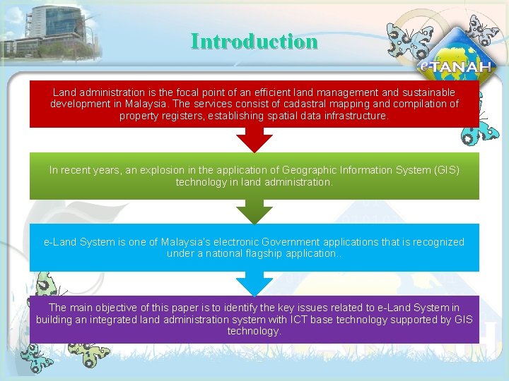
Introduction Land administration is the focal point of an efficient land management and sustainable development in Malaysia. The services consist of cadastral mapping and compilation of property registers, establishing spatial data infrastructure. In recent years, an explosion in the application of Geographic Information System (GIS) technology in land administration. e-Land System is one of Malaysia’s electronic Government applications that is recognized under a national flagship application. . The main objective of this paper is to identify the key issues related to e-Land System in building an integrated land administration system with ICT base technology supported by GIS technology.
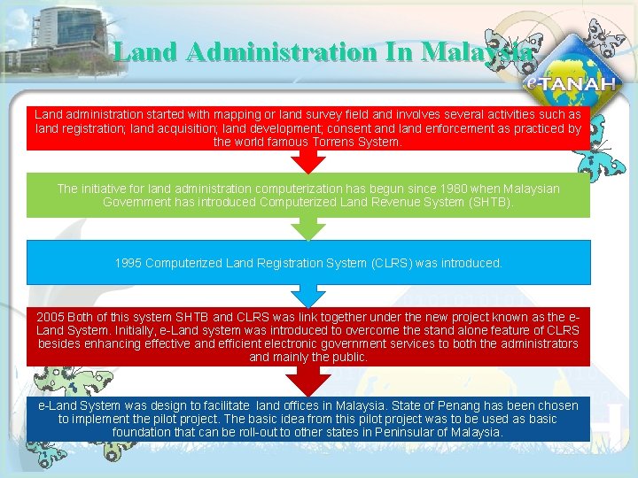
Land Administration In Malaysia Land administration started with mapping or land survey field and involves several activities such as land registration; land acquisition; land development; consent and land enforcement as practiced by the world famous Torrens System. The initiative for land administration computerization has begun since 1980 when Malaysian Government has introduced Computerized Land Revenue System (SHTB). 1995 Computerized Land Registration System (CLRS) was introduced. 2005 Both of this system SHTB and CLRS was link together under the new project known as the e. Land System. Initially, e-Land system was introduced to overcome the stand alone feature of CLRS besides enhancing effective and efficient electronic government services to both the administrators and mainly the public. e-Land System was design to facilitate land offices in Malaysia. State of Penang has been chosen to implement the pilot project. The basic idea from this pilot project was to be used as basic foundation that can be roll-out to other states in Peninsular of Malaysia.
Main Modules In E-land System AUCTION ACQUISITION e-Land System administered in CONSENT State of Penang contains 9 core REVENUE modules and 11 supporting modules. A total of 450 types of STRATA REGISTRATION transaction have been developed based on these modules. ENFORCEMENT DEVELOPMENT DISPOSAL Fig. 1: Main modules in e-Land System.
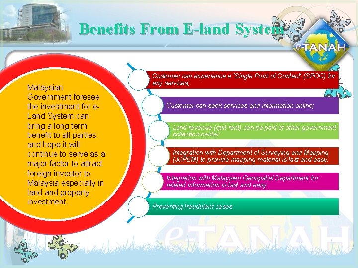
Benefits From E-land System Malaysian Government foresee the investment for e. Land System can bring a long term benefit to all parties and hope it will continue to serve as a major factor to attract foreign investor to Malaysia especially in land property investment. Customer can experience a ‘Single Point of Contact’ (SPOC) for any services; Customer can seek services and information online; Land revenue (quit rent) can be paid at other government collection center Integration with Department of Surveying and Mapping (JUPEM) to provide mapping material is fast and easy. Integration with Malaysian Geospatial Department for related information is fast and easy. Preventing fraudulent cases
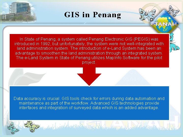
GIS in Penang In State of Penang, a system called Penang Electronic GIS (PEGIS) was introduced in 1992, but unfortunately, the system were not well-integrated with land administration system. The introduction of e-Land System has been an advantage to smoothen the land administration through an integrated system. The e-Land System in State of Penang utilizes Map. Info Software for the pilot project. Data accuracy is crucial. GIS tools check for errors during data automation and maintenance as part of the workflow. Advanced GIS technologies provide interfaces and integration of surveyed data which is an added advantage.
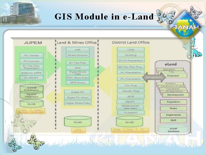
GIS Module in e-Land
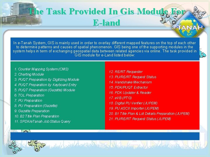
The Task Provided In Gis Module For E-land In e-Tanah System, GIS is mainly used in order to overlay different mapped features on the top of each other to determine patterns and causes of spatial phenomenon. GIS being one of the supporting modules in the system helps in term of exchanging geospatial data between related agencies via online. The task provided in GIS module for e-Land listed below: 1. Counter Mapping System (CMS) 2. Charting Module 3. PUQT Preparation by Digitizing Module 4. PUQT Preparation by Keyboard Entry 5. PUQT Preparation (Gazette) Module 6. TOL Preparation 7. PU Preparation 8. PU Preparation (Gazette) 9. Gazette Preparation 10. B 2 Title Plan Preparation 11. SPDK/e. Tanah Job Status Query 12. RE/RT Requester 13. PU/RE/RT Request Status 14. Handshake Mechanism 15. PDK/PUQT Extractor 16. PDK Updater & Reader 17. e. VB (PTG) 18. Digital PU Verifier (JUPEM) 19. PU ASCII Importer (JUPEM) 20. B 1 Title Plan & Lot Details Preparation (JUPEM) 21. PU/RE/RT Request Status (JUPEM)
Fig. 3: The Counter Mapping System (CMS) in e-land System enables users to quickly and easily produce hard copy output. Maps are able to be printed using predefined layout templates and detailed maps allowed to be produced.
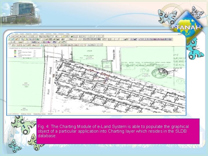
Fig. 4: The Charting Module of e-Land System is able to populate the graphical object of a particular application into Charting layer which resides in the SLDB database.
System Design Gis Mapinfo
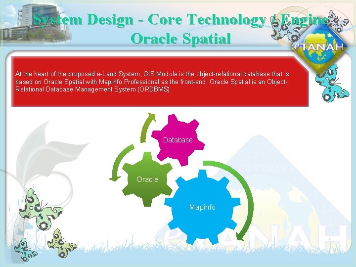
System Design - Core Technology / Engine Oracle Spatial At the heart of the proposed e-Land System, GIS Module is the object-relational database that is based on Oracle Spatial with Map. Info Professional as the front-end. Oracle Spatial is an Object. Relational Database Management System (ORDBMS) Database Oracle Mapinfo
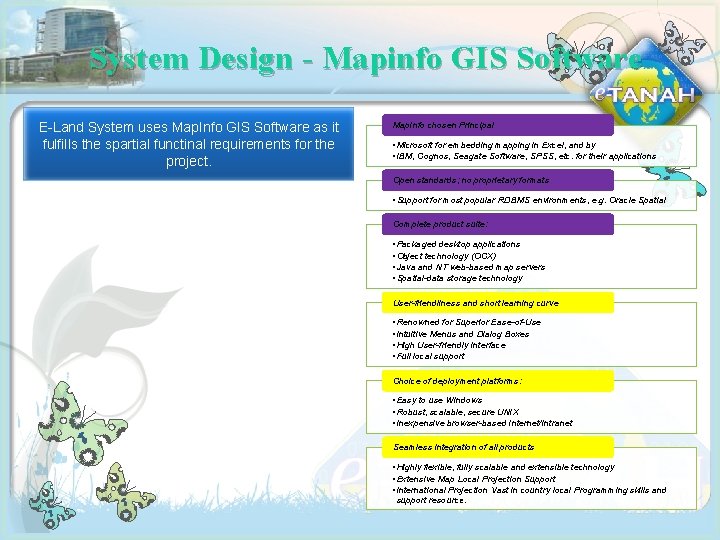
System Design - Mapinfo GIS Software E-Land System uses Map. Info GIS Software as it fulfills the spartial functinal requirements for the project. Map. Info chosen Principal • Microsoft for embedding mapping in Excel, and by • IBM, Cognos, Seagate Software, SPSS, etc. for their applications Open standards; no proprietary formats • Support for most popular RDBMS environments, e. g. Oracle Spatial Complete product suite: • Packaged desktop applications • Object technology (OCX) • Java and NT web-based map servers • Spatial-data storage technology User-friendliness and short learning curve • Renowned for Superior Ease-of-Use • Intuitive Menus and Dialog Boxes • High User-friendly Interface • Full local support Choice of deployment platforms: • Easy to use Windows • Robust, scalable, secure UNIX • Inexpensive browser-based Internet/Intranet Seamless integration of all products • Highly flexible, fully scalable and extensible technology • Extensive Map Local Projection Support • International Projection Vast in country local Programming skills and support resource.
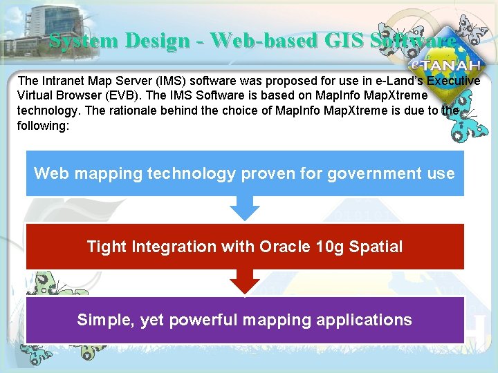
System Design - Web-based GIS Software The Intranet Map Server (IMS) software was proposed for use in e-Land’s Executive Virtual Browser (EVB). The IMS Software is based on Map. Info Map. Xtreme technology. The rationale behind the choice of Map. Info Map. Xtreme is due to the following: Web mapping technology proven for government use Tight Integration with Oracle 10 g Spatial Simple, yet powerful mapping applications
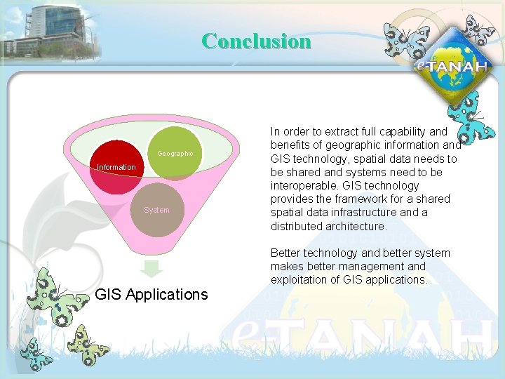
Conclusion Geographic Information System GIS Applications In order to extract full capability and benefits of geographic information and GIS technology, spatial data needs to be shared and systems need to be interoperable. GIS technology provides the framework for a shared spatial data infrastructure and a distributed architecture. Better technology and better system makes better management and exploitation of GIS applications.
Recommendations: Several recommendations that can be deduced from this study area More focus on customizing of GIS application to create an “ease of use” environment for end - users. Future research should emphasis on improvement on lightweight software to facilitate available bandwidth.
THE END By: Dato’ Haron B. Haji Abdul Kader Director of e-Tanah Project Team, Department of Director General of Land Mines (Federal), Ministry of Natural Resources and Environment, Putrajaya, Malaysia. haron@kptg. gov. my