archipelago a group or chain of islands clustered
- Slides: 16
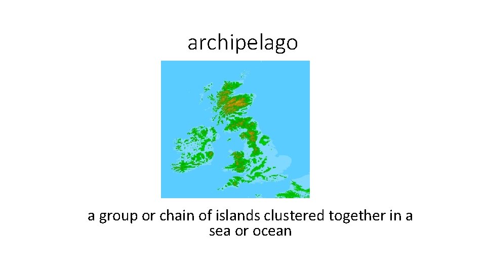
archipelago a group or chain of islands clustered together in a sea or ocean
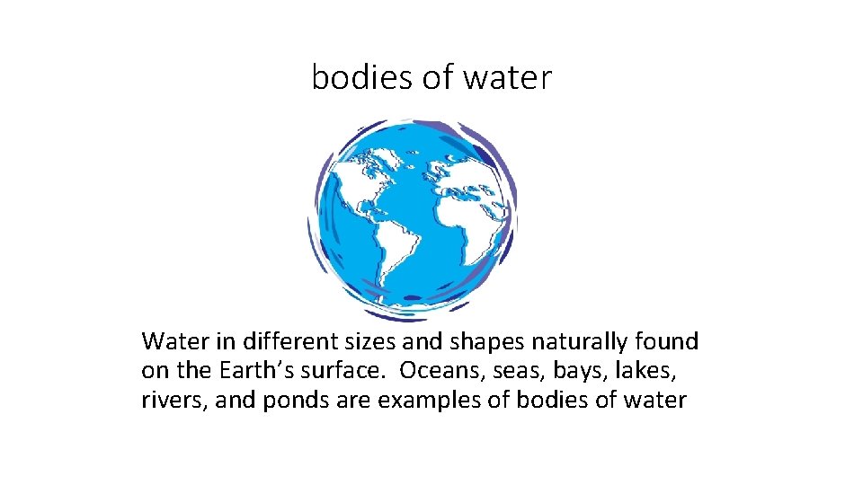
bodies of water Water in different sizes and shapes naturally found on the Earth’s surface. Oceans, seas, bays, lakes, rivers, and ponds are examples of bodies of water
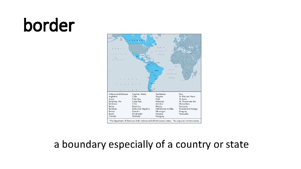
border a boundary especially of a country or state
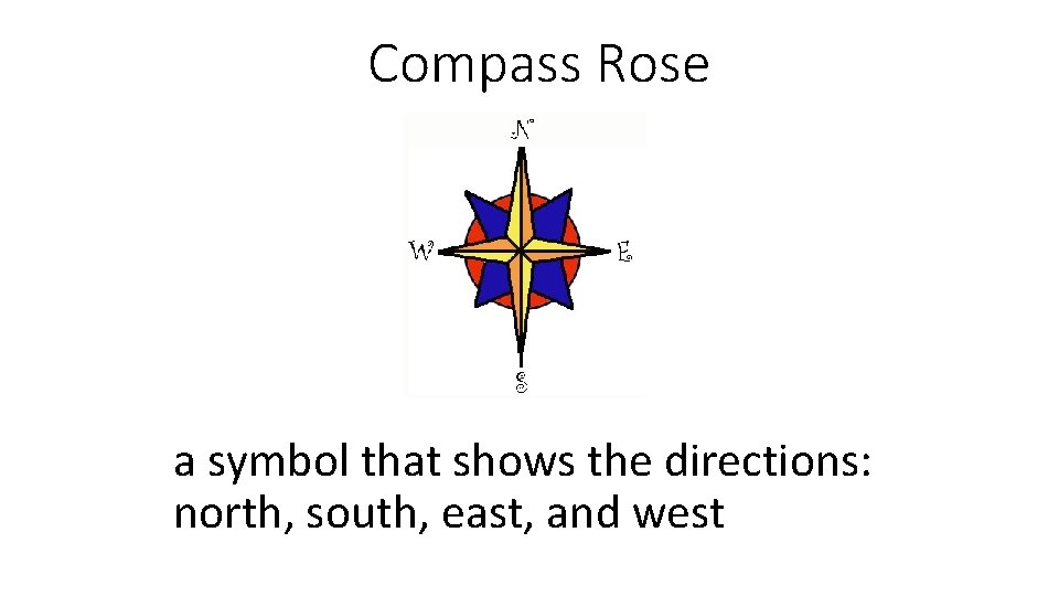
Compass Rose a symbol that shows the directions: north, south, east, and west
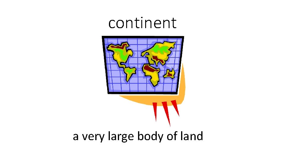
continent a very large body of land
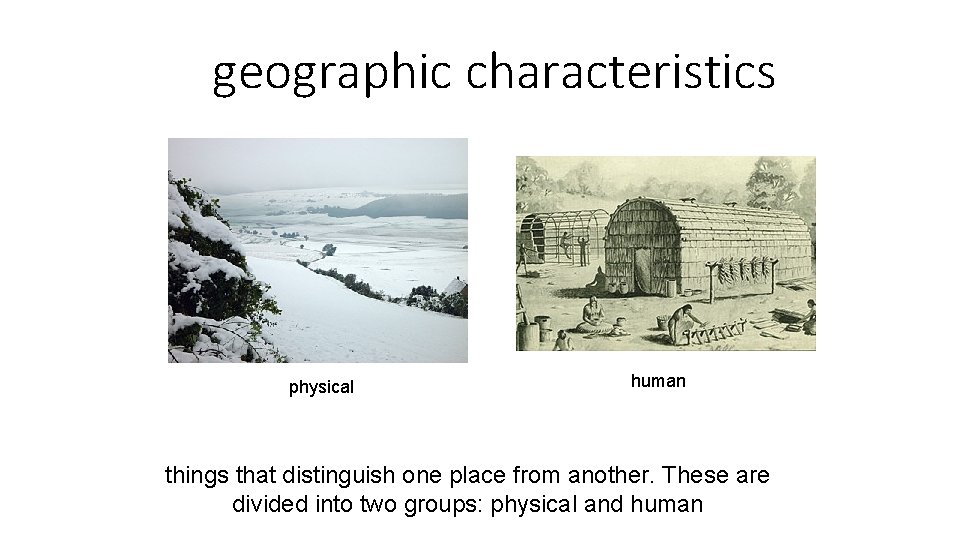
geographic characteristics physical human things that distinguish one place from another. These are divided into two groups: physical and human
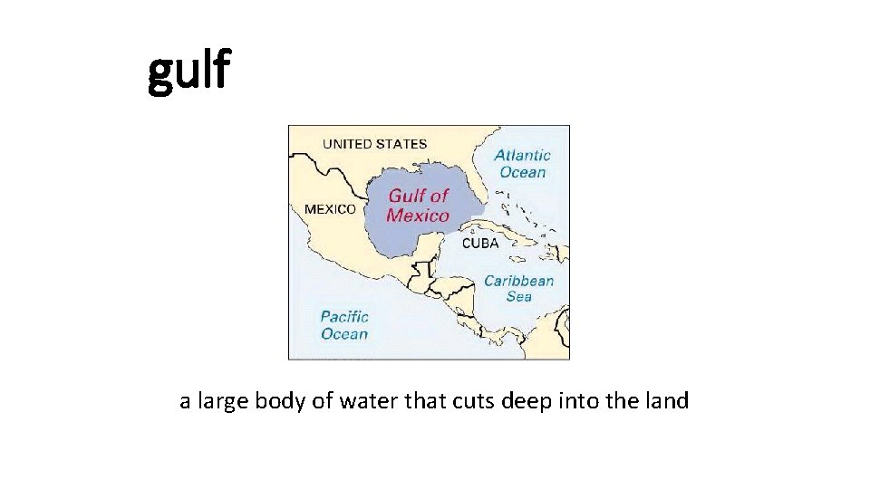
gulf a large body of water that cuts deep into the land
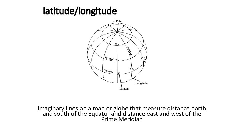
latitude/longitude imaginary lines on a map or globe that measure distance north and south of the Equator and distance east and west of the Prime Meridian
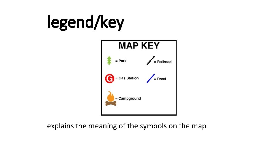
legend/key explains the meaning of the symbols on the map
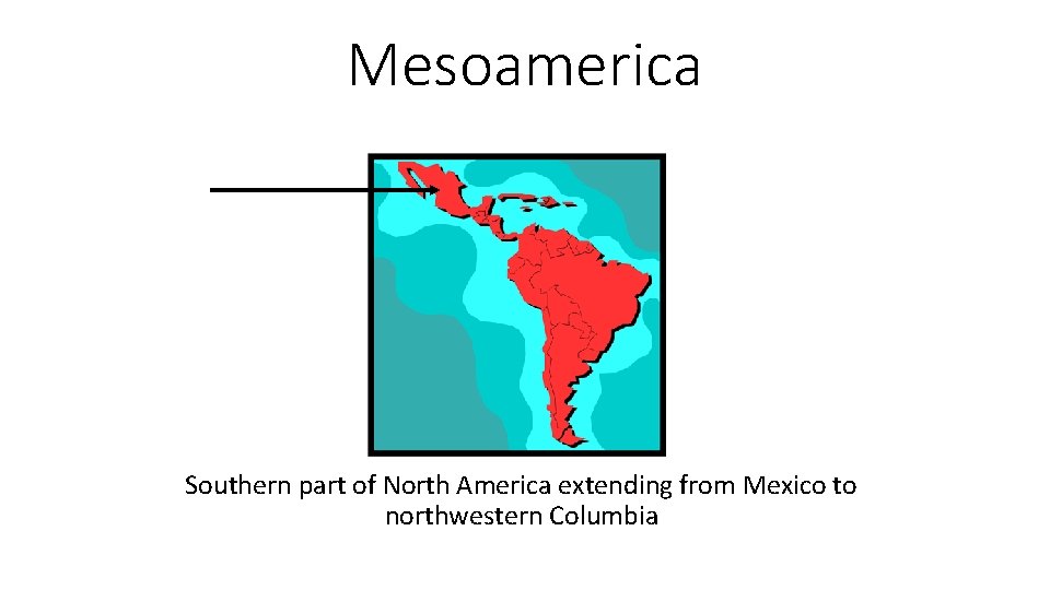
Mesoamerica Southern part of North America extending from Mexico to northwestern Columbia
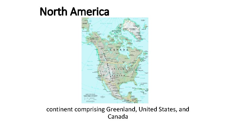
North America continent comprising Greenland, United States, and Canada
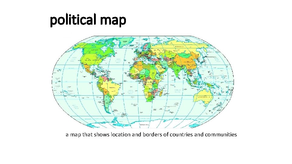
political map a map that shows location and borders of countries and communities
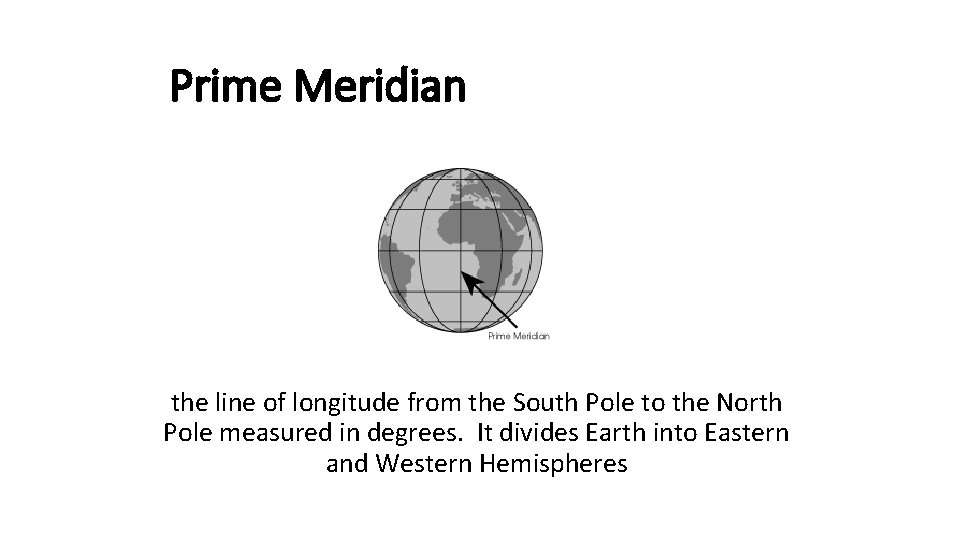
Prime Meridian the line of longitude from the South Pole to the North Pole measured in degrees. It divides Earth into Eastern and Western Hemispheres
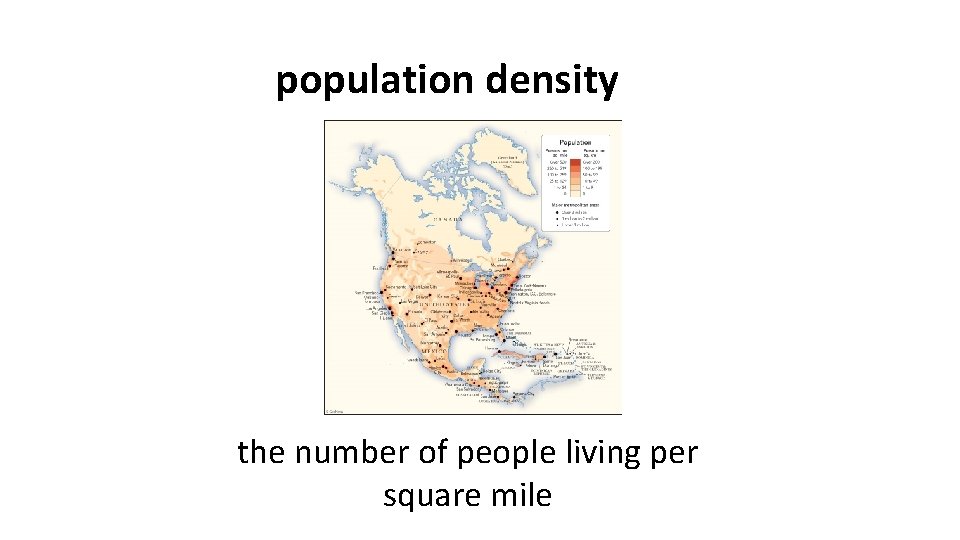
population density the number of people living per square mile
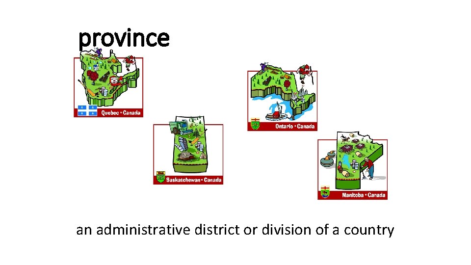
province an administrative district or division of a country
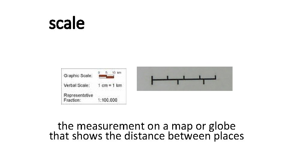
scale the measurement on a map or globe that shows the distance between places