Antarctica Satellite view Antarctica is Earths southernmost continent


- Slides: 46
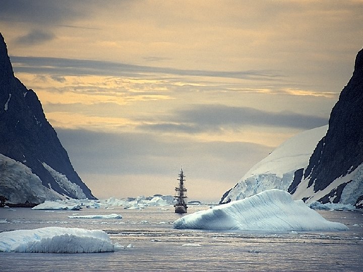
Antarctica Satellite view
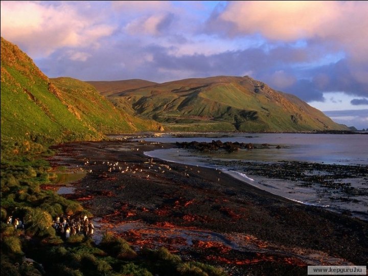
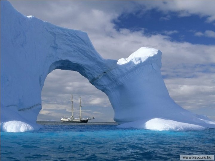
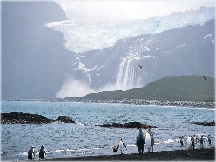
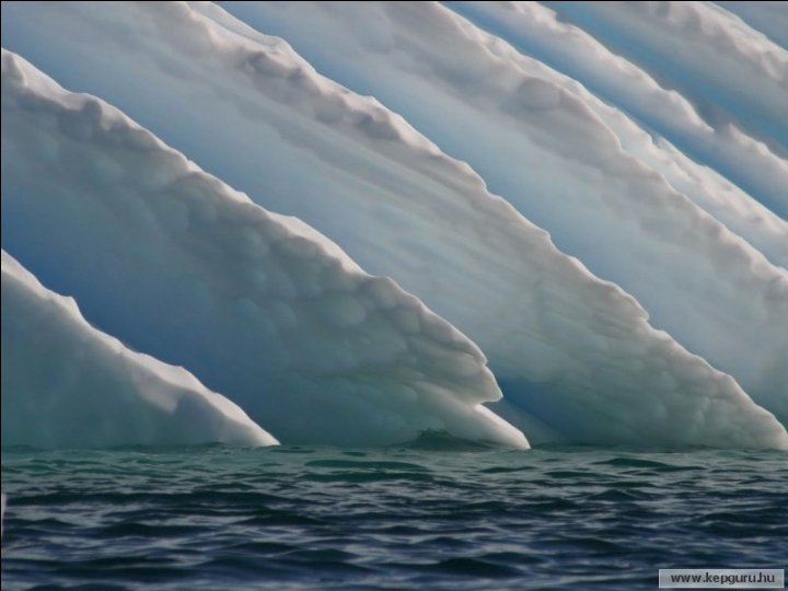
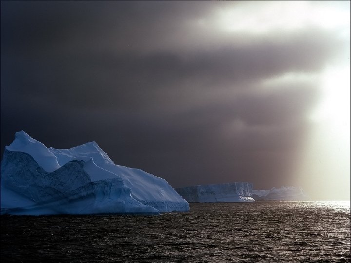
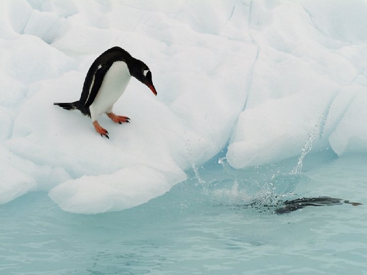
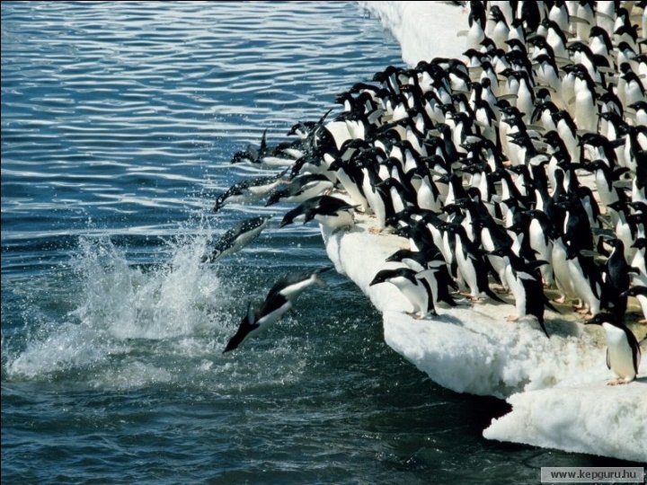
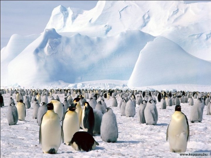
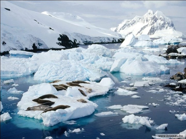
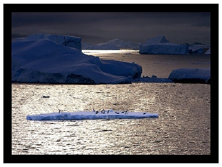
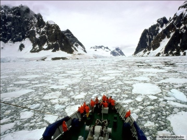
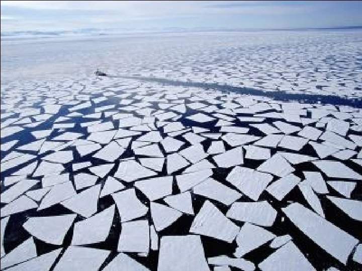
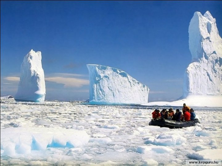
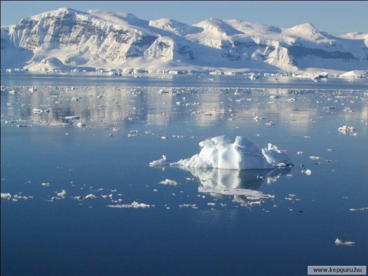
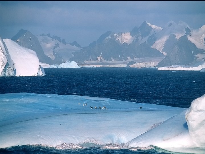
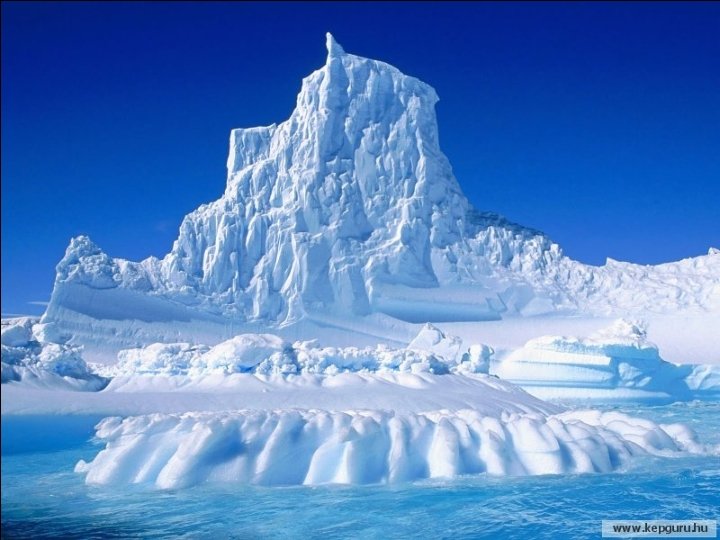
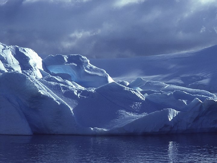
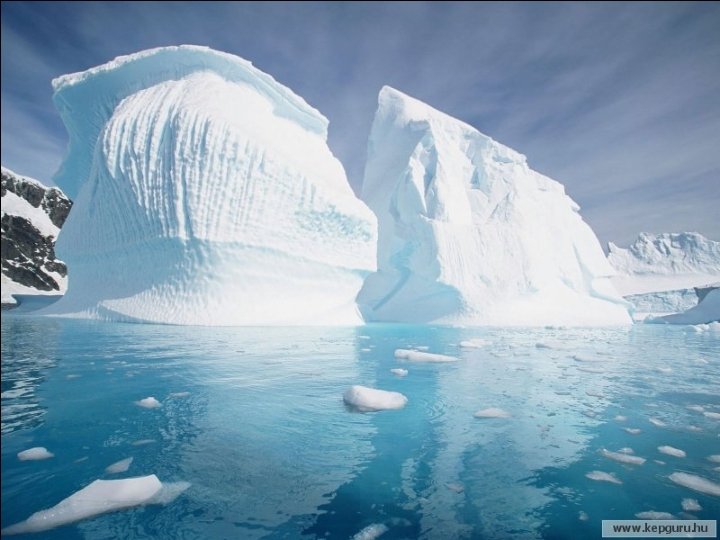
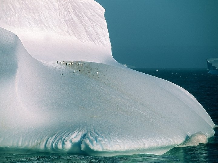
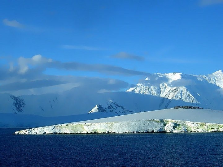
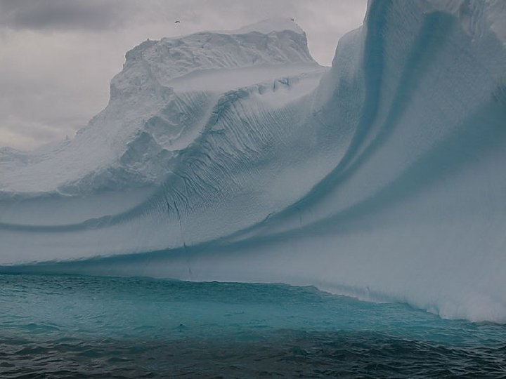
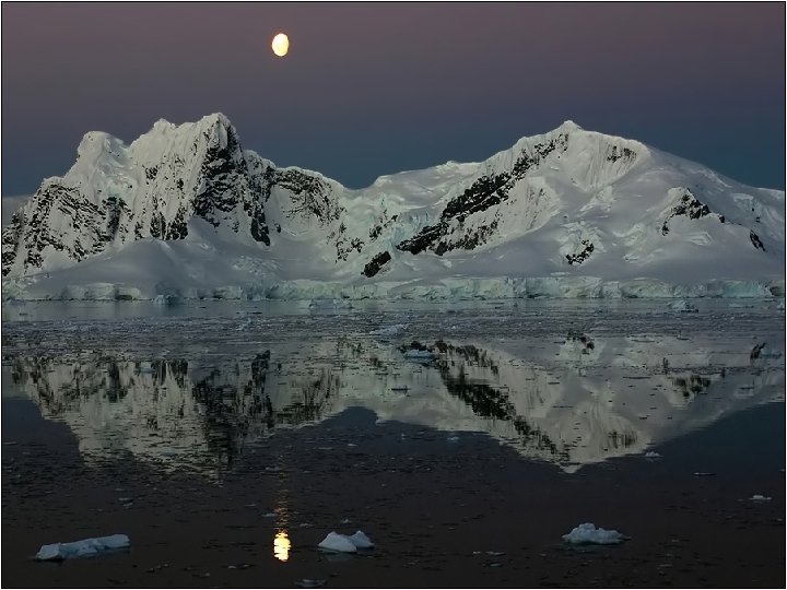
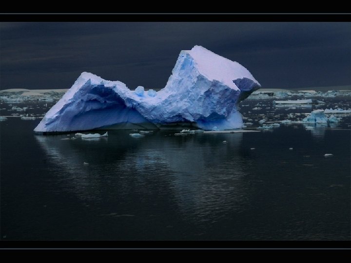
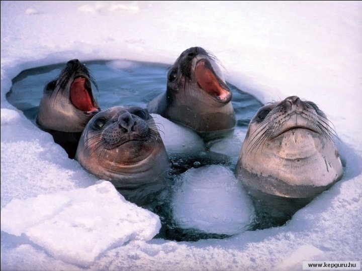
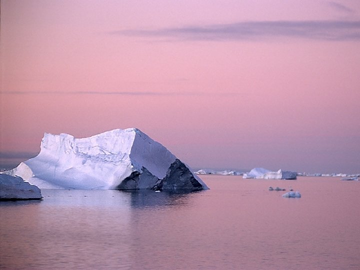
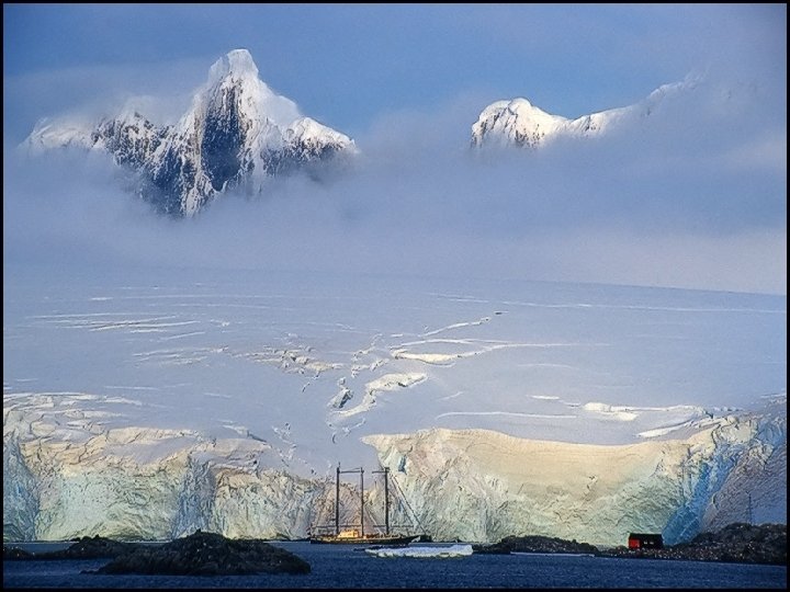
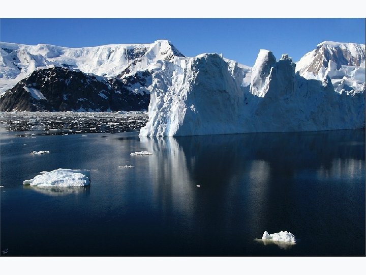
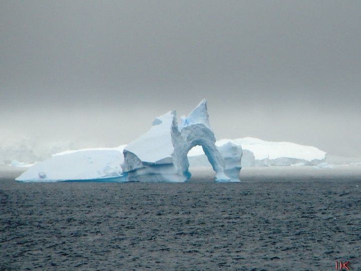
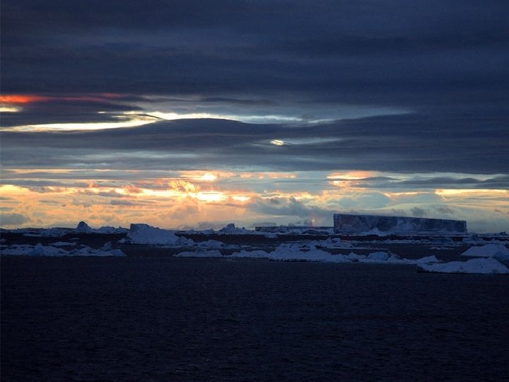
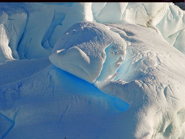
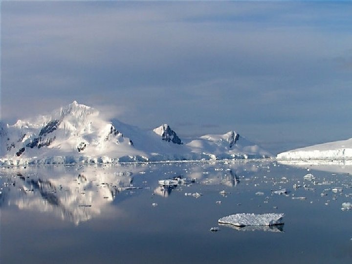
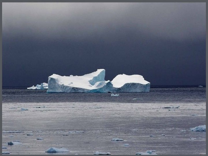
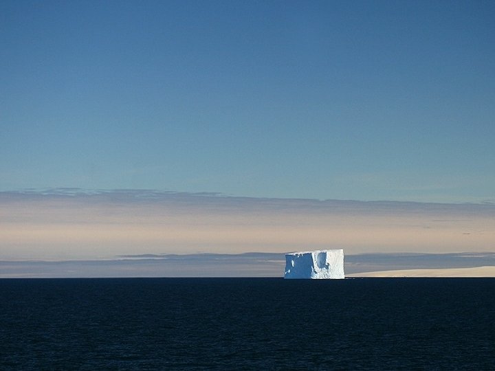
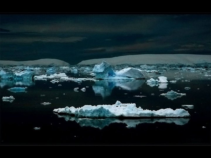
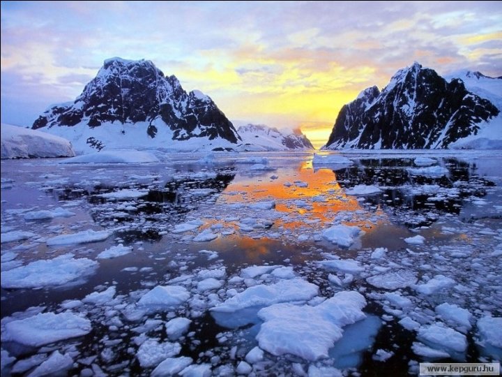
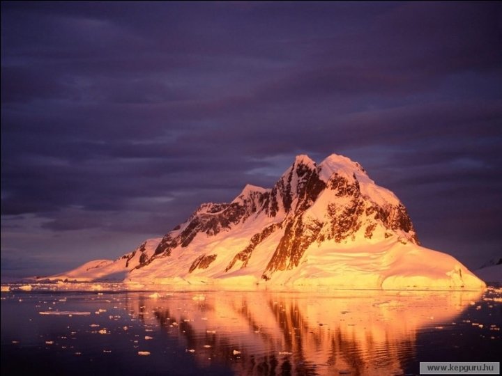
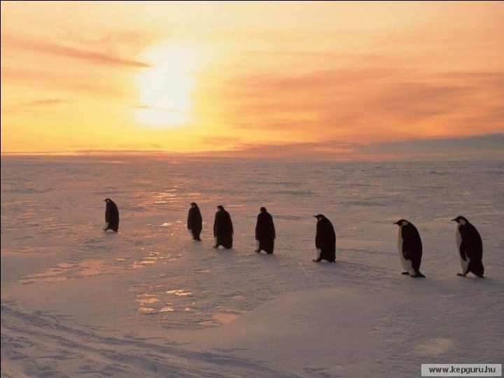
Antarctica is Earth's southernmost continent, underlying the South Pole. It is situated in the Antarctica region of the southern hemisphere, almost entirely south of the Antarctic Circle, and is surrounded by the Southern Ocean. About 98% of Antarctica is covered by ice, which averages at least 1. 6 kilometres (1. 0 mi) in thickness. Antarctica is the coldest, driest, and windiest continent, and has the highest average elevation of all the continents. Antarctica is considered a desert, with annual precipitation of only 200 mm (8 inches) along the coast and far less inland. There are no permanent human residents but anywhere from 1, 000 to 5, 000 people reside throughout the year at the research stations scattered across the continent. Only cold-adapted plants and animals survive there, including penguins, seals, mosses, lichen, and many types of algae.
Temperatures reach: -a minimum of between − 80 °C and − 90 °C (− 112 °F and − 130 °F) in the interior in winter - a maximum of between 5 °C and 15 °C (41 °F and 59 °F) near the coast in summer. -Sunburn is often a health issue as the snow surface reflects almost all of the ultraviolet light falling on it. The aurora australis, commonly known as the southern lights, is a glow observed in the night sky near the South Pole created by the plasma-full solar winds that pass by the Earth. Another unique spectacle is diamond dust, a ground-level cloud composed of tiny ice crystals.
This photo has been taken at Amundsen-Scott South Pole Station during the long Antarctic night. The station can be seen at far left, the power plant in the center and the mechanic's garage in the lower right. The green light in the background is the Aurora Australis.