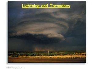
THUNDERSTORMS LIGHTNING and TORNADOES pcooke 51003 Thunderstorm Frequency

- Slides: 61
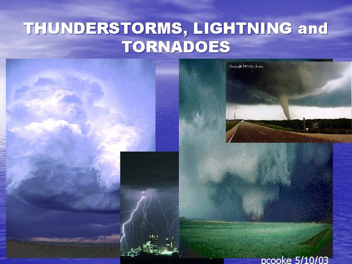
THUNDERSTORMS, LIGHTNING and TORNADOES pcooke 5/10/03
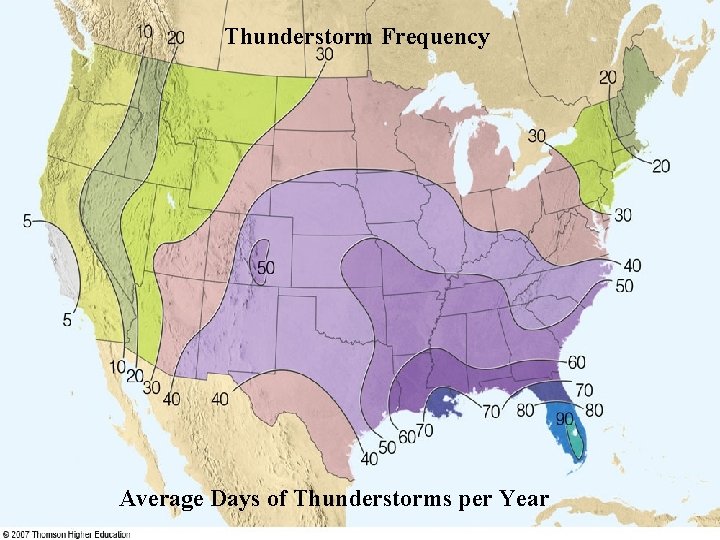
Thunderstorm Frequency Average Days of Thunderstorms per Year
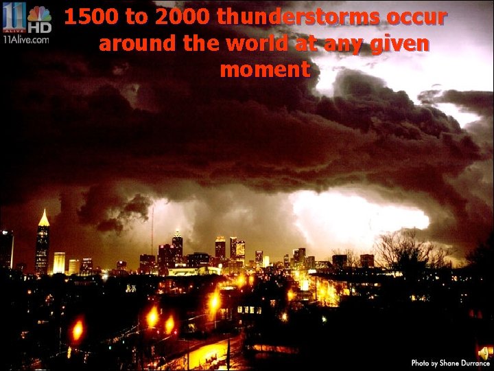
1500 to 2000 thunderstorms occur Thunderstorm Frequency around the world at any given moment
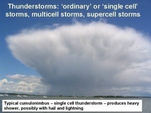
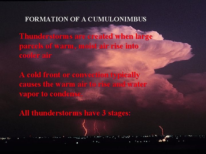
FORMATION OF A CUMULONIMBUS Thunderstorms are created when large parcels of warm, moist air rise into cooler air A cold front or convection typically causes the warm air to rise and water vapor to condense. All thunderstorms have 3 stages:
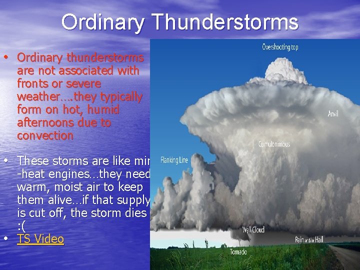
Ordinary Thunderstorms • Ordinary thunderstorms are not associated with fronts or severe weather…. they typically form on hot, humid afternoons due to convection • These storms are like mini • -heat engines…they need warm, moist air to keep them alive…if that supply is cut off, the storm dies : ( TS Video
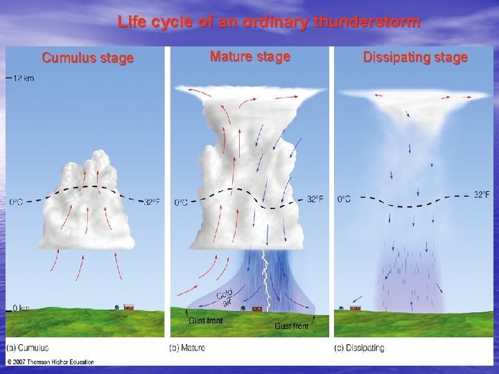
Life cycle of an ordinary thunderstorm Cumulus stage Mature stage Dissipating stage
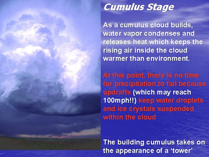
Cumulus Stage As a cumulus cloud builds, water vapor condenses and releases heat which keeps the rising air inside the cloud warmer than environment. At this point, there is no time for precipitation to fall because updrafts (which may reach 100 mph!!) keep water droplets and ice crystals suspended within the cloud The building cumulus takes on the appearance of a ‘tower’
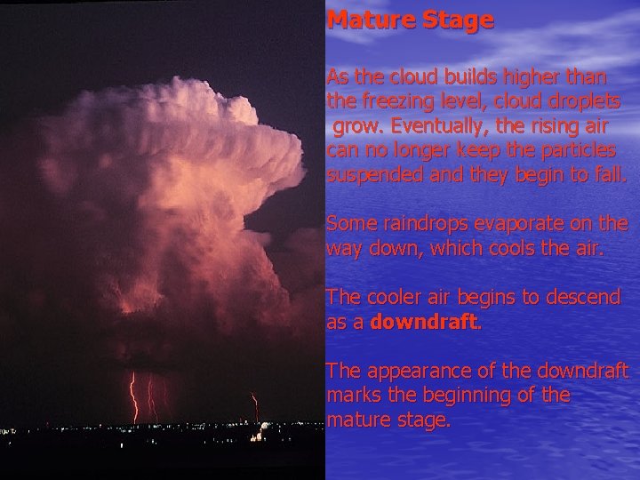
Mature Stage As the cloud builds higher than the freezing level, cloud droplets grow. Eventually, the rising air can no longer keep the particles suspended and they begin to fall. Some raindrops evaporate on the way down, which cools the air. The cooler air begins to descend as a downdraft. The appearance of the downdraft marks the beginning of the mature stage.
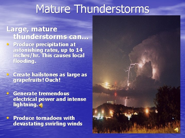
Mature Thunderstorms Large, mature thunderstorms can… • Produce precipitation at astonishing rates, up to 14 inches/hr. This causes local flooding. • Create hailstones as large as grapefruits! Ouch! • Generate tremendous electrical power and intense lightning. • Produce tornadoes with devastating swirling winds
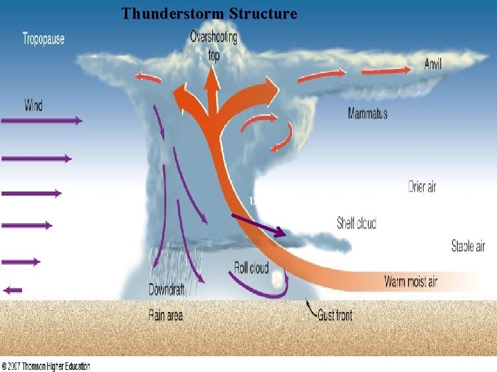
Thunderstorm Structure updraft
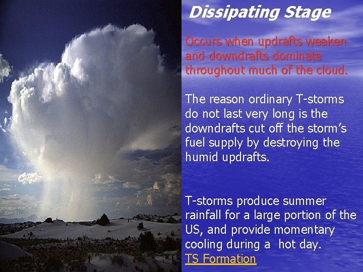
Dissipating Stage Occurs when updrafts weaken and downdrafts dominate throughout much of the cloud. The reason ordinary T-storms do not last very long is the downdrafts cut off the storm’s fuel supply by destroying the humid updrafts. T-storms produce summer rainfall for a large portion of the US, and provide momentary cooling during a hot day. TS Formation
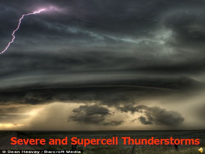
Severe and Supercell Thunderstorms
Severe Thunderstorms • If convection is strong and updrafts are intense, the storm can become severe. • Updrafts in severe • thunderstorms can cause the cloud to reach into the stratosphere and in some cases extend up to 60, 000 ft. These storms contain lightning, thunder, gusty winds, and hail
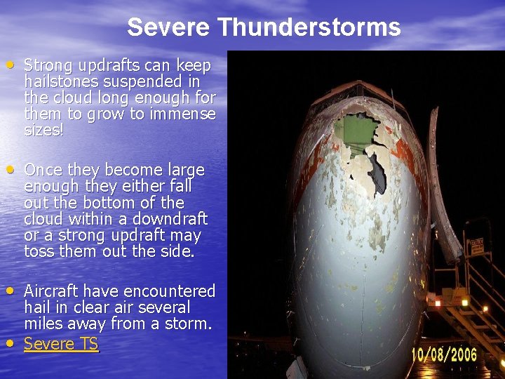
Severe Thunderstorms • Strong updrafts can keep hailstones suspended in the cloud long enough for them to grow to immense sizes! • Once they become large enough they either fall out the bottom of the cloud within a downdraft or a strong updraft may toss them out the side. • Aircraft have encountered • hail in clear air several miles away from a storm. Severe TS
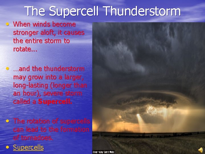
The Supercell Thunderstorm • When winds become stronger aloft, it causes the entire storm to rotate. . . • …and the thunderstorm may grow into a larger, long-lasting (longer than an hour), severe storm called a Supercell. • The rotation of supercells • can lead to the formation of tornadoes. Supercells
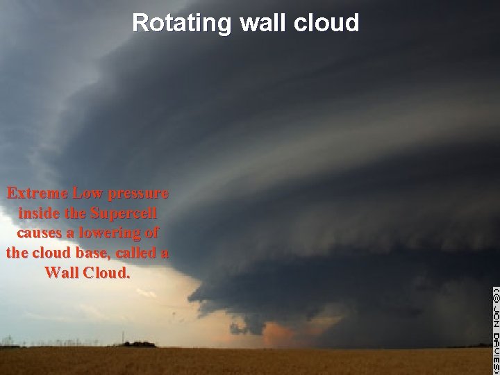
Rotating wall cloud Extreme Low pressure inside the Supercell causes a lowering of the cloud base, called a Wall Cloud.
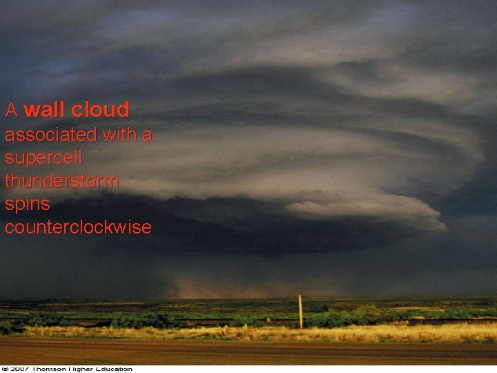
A wall cloud associated with a supercell thunderstorm spins counterclockwise
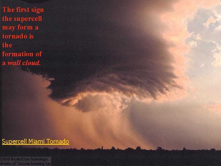
The first sign the supercell may form a tornado is the formation of a wall cloud. Supercell Miami Tornado
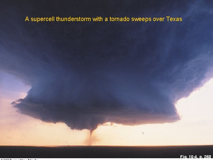
A supercell thunderstorm with a tornado sweeps over Texas Fig. 10 -4, p. 268
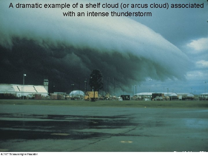
A dramatic example of a shelf cloud (or arcus cloud) associated with an intense thunderstorm Fig. 10 -11, p. 271
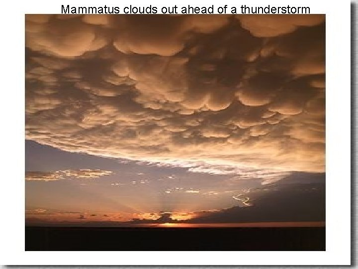
Mammatus clouds out ahead of a thunderstorm
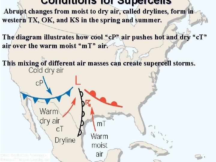
Conditions for Supercells Abrupt changes from moist to dry air, called drylines, form in western TX, OK, and KS in the spring and summer. The diagram illustrates how cool “c. P” air pushes hot and dry “c. T” air over the warm moist “m. T” air. This mixing of different air masses can create supercell storms.
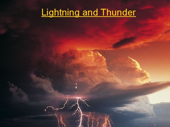
Lightning and Thunder
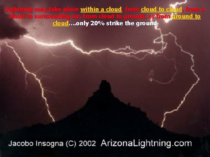
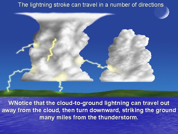
Lightning may take place within a cloud, from cloud to cloud, from a cloud to surrounding air, from cloud to ground, or from ground to cloud…. only 20% strike the ground
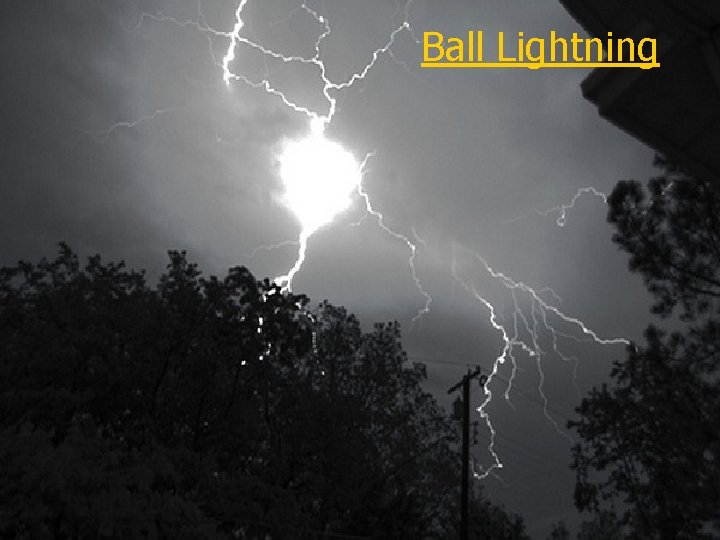
Ball Lightning
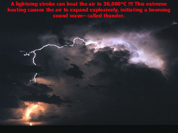
A lightning stroke can heat the air to 30, 000°C !!! This extreme heating causes the air to expand explosively, initiating a booming sound wave– called thunder.
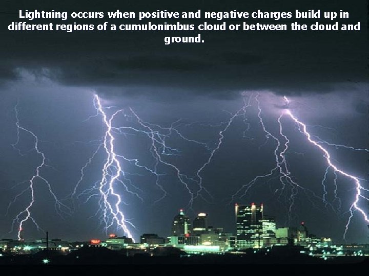
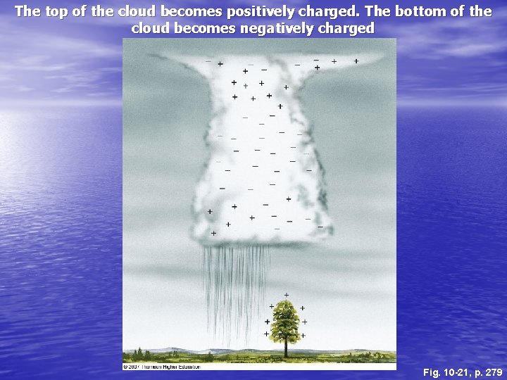
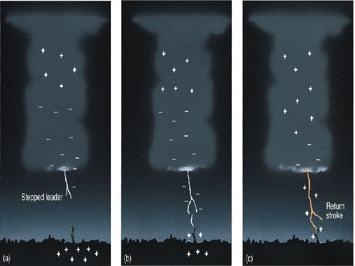
Lightning occurs when positive and negative charges build up in different regions of a cumulonimbus cloud or between the cloud and ground.
The top of the cloud becomes positively charged. The bottom of the cloud becomes negatively charged Fig. 10 -21, p. 279
The lightning stroke can travel in a number of directions WNotice that the cloud-to-ground lightning can travel out away from the cloud, then turn downward, striking the ground many miles from the thunderstorm.
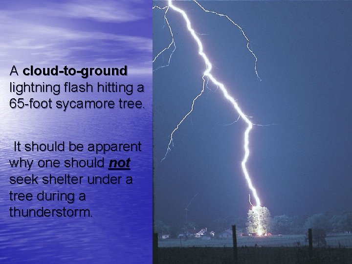
A cloud-to-ground lightning flash hitting a 65 -foot sycamore tree. It should be apparent why one should not seek shelter under a tree during a thunderstorm.
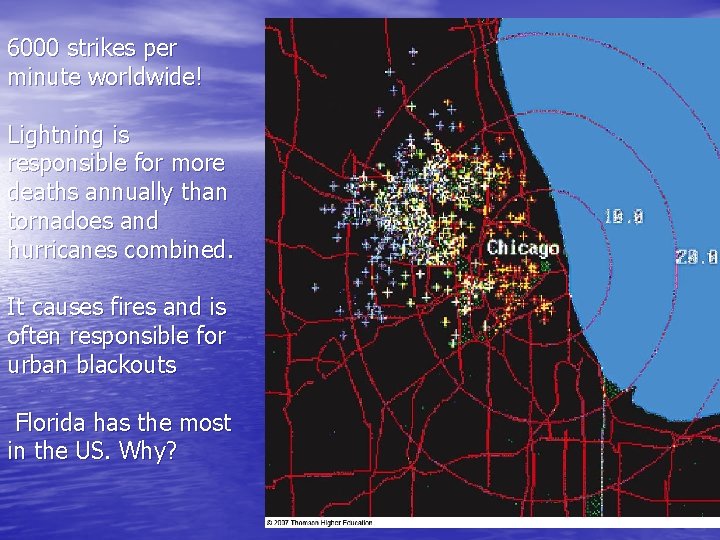
6000 strikes per minute worldwide! Lightning is responsible for more deaths annually than tornadoes and hurricanes combined. It causes fires and is often responsible for urban blackouts Florida has the most in the US. Why?
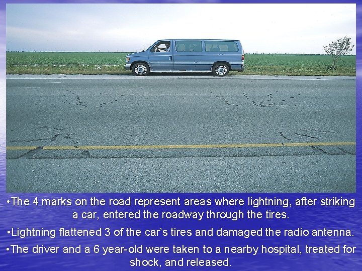
• The 4 marks on the road represent areas where lightning, after striking a car, entered the roadway through the tires. • Lightning flattened 3 of the car’s tires and damaged the radio antenna. • The driver and a 6 year-old were taken to a nearby hospital, treated for shock, and released.
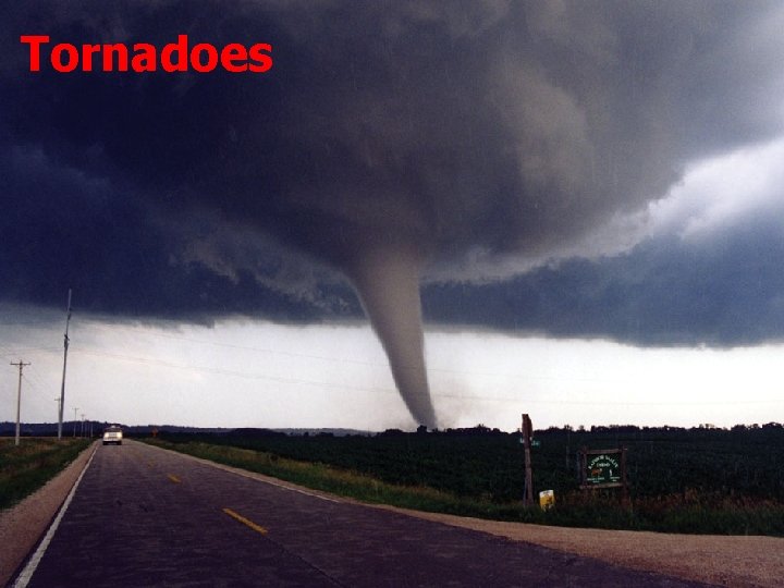
Tornadoes
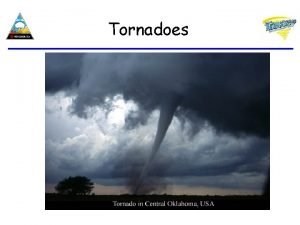
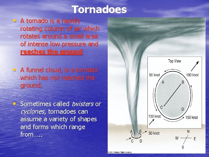
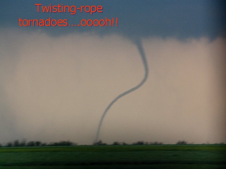
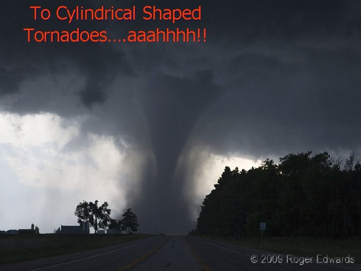
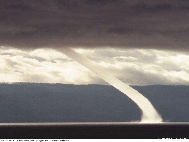
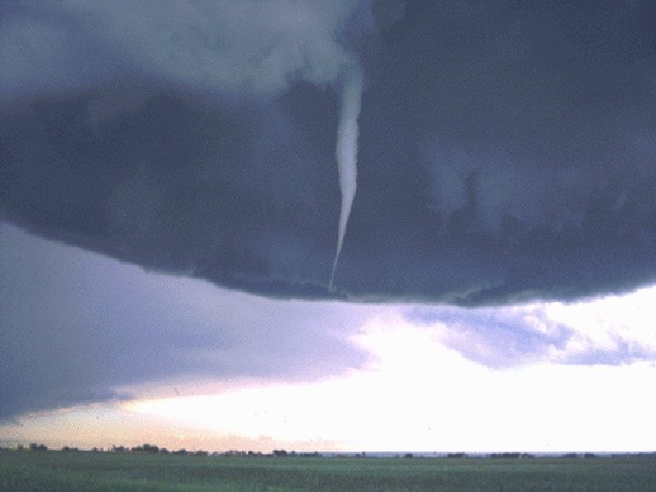
Tornadoes • A tornado is a rapidly rotating column of air which rotates around a small area of intense low pressure and reaches the ground • A funnel cloud, is a tornado which has not reached the ground. • Sometimes called twisters or cyclones, tornadoes can assume a variety of shapes and forms which range from…. .
Twisting-rope tornadoes…. ooooh!!
To Cylindrical Shaped Tornadoes…. aaahhhh!!
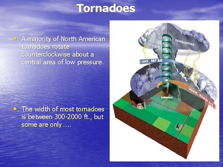
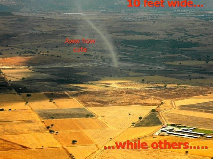
Tornadoes • A majority of North American tornadoes rotate counterclockwise about a central area of low pressure. • The width of most tornadoes is between 300 -2000 ft. , but some are only…. .
10 feet wide… Aww how cute …while others…. .
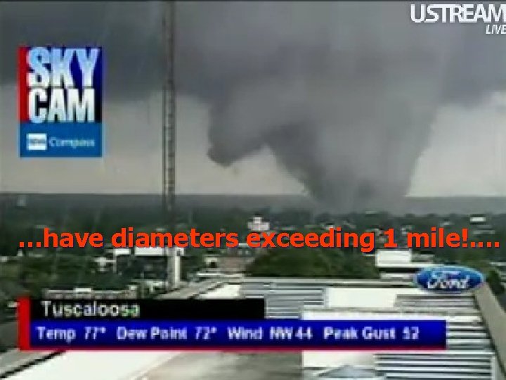
…have diameters exceeding 1 mile!. .
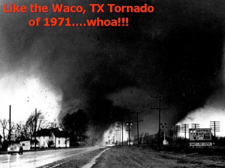
Like the Waco, TX Tornado of 1971…. whoa!!!
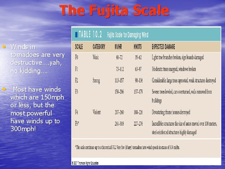
The Fujita Scale • Winds in tornadoes are very destructive…. yah, no kidding…. • Most have winds which are 150 mph or less, but the most powerful have winds up to 300 mph!
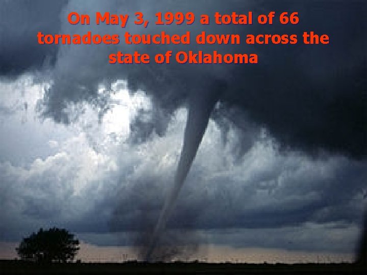
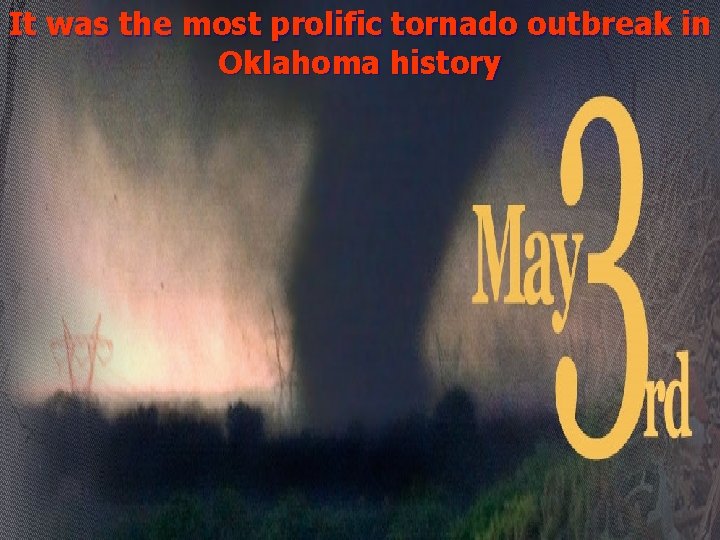
On May 3, 1999 a total of 66 tornadoes touched down across the state of Oklahoma
It was the most prolific tornado outbreak in Oklahoma history
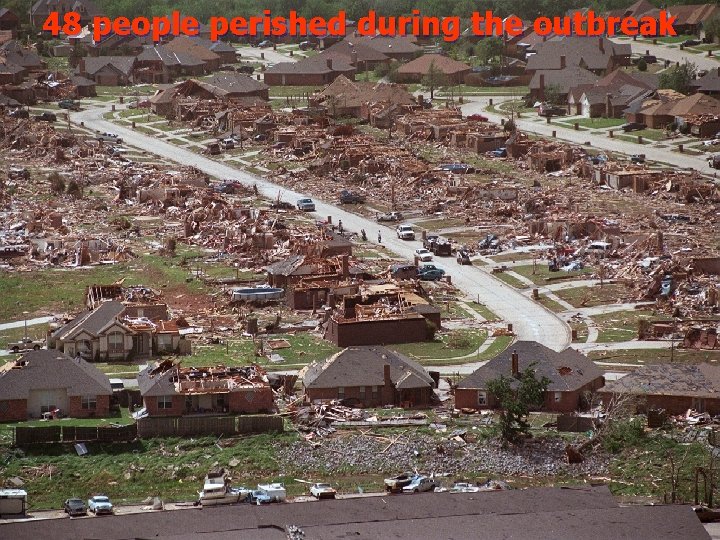
48 people perished during the outbreak
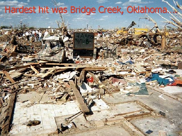
Hardest hit was Bridge Creek, Oklahoma….
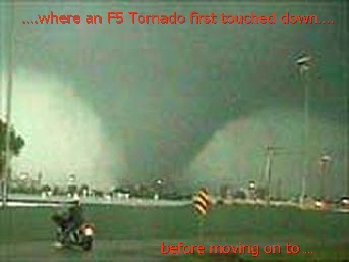
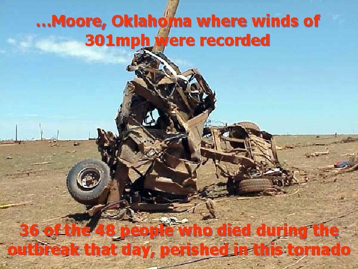
…. where an F 5 Tornado first touched down…. before moving on to…. .
…Moore, Oklahoma where winds of 301 mph were recorded 36 of the 48 people who died during the outbreak that day, perished in this tornado
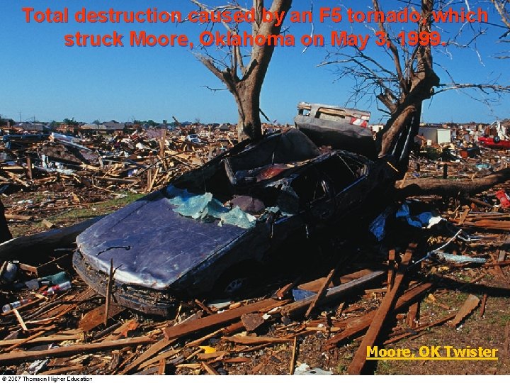
Total destruction caused by an F 5 tornado, which struck Moore, Oklahoma on May 3, 1999. Moore, OK Twister
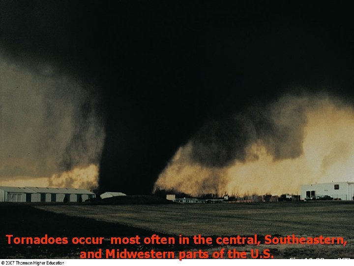
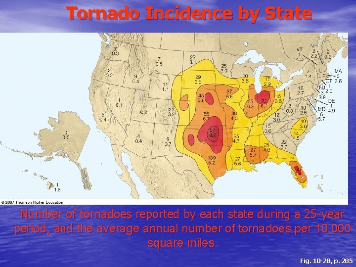
Tornadoes occur most often in the central, Southeastern, and Midwestern parts of the U. S. Fig. 10 -32, p. 288
Tornado Incidence by State Number of tornadoes reported by each state during a 25 -year period, and the average annual number of tornadoes per 10, 000 square miles. Fig. 10 -28, p. 285
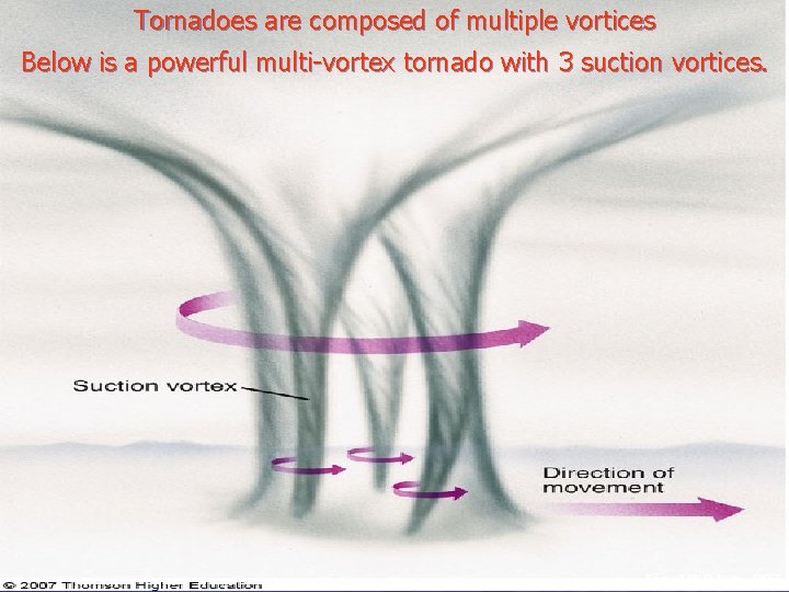
Tornadoes are composed of multiple vortices Below is a powerful multi-vortex tornado with 3 suction vortices. Fig. 10 -31, p. 287
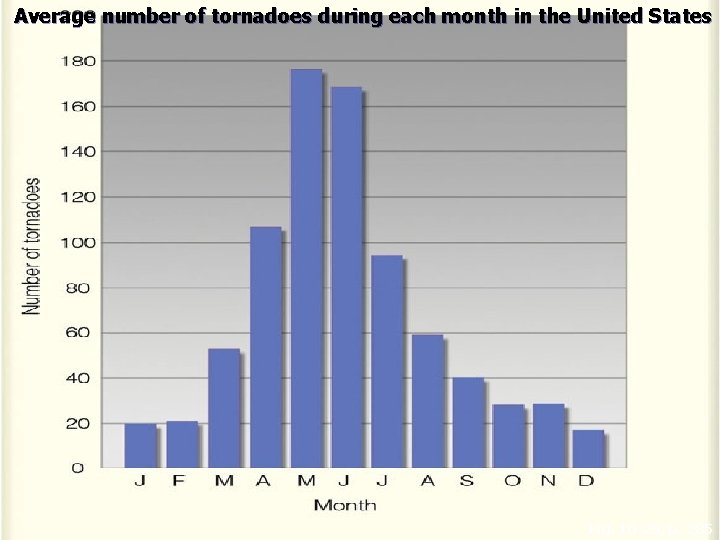
Average number of tornadoes during each month in the United States Fig. 10 -29, p. 285
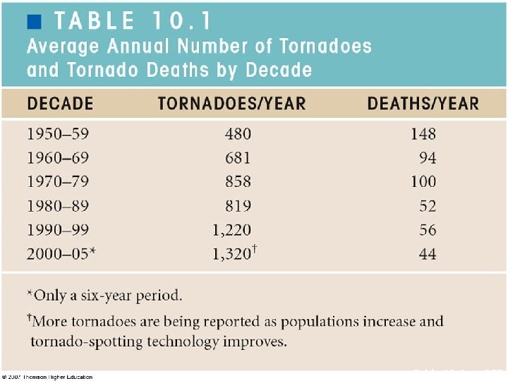
Table 10 -1, p. 287
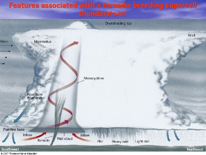
Features associated with a tornado-breeding supercell thunderstorm
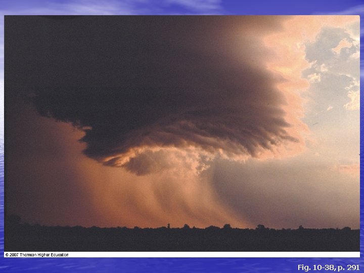
Fig. 10 -38, p. 291
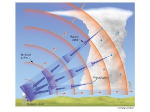
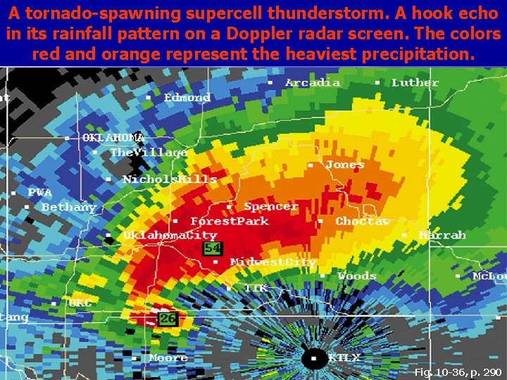
A tornado-spawning supercell thunderstorm. A hook echo in its rainfall pattern on a Doppler radar screen. The colors red and orange represent the heaviest precipitation. Fig. 10 -36, p. 290
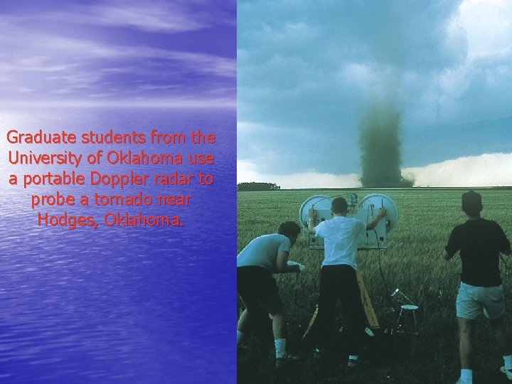
Graduate students from the University of Oklahoma use a portable Doppler radar to probe a tornado near Hodges, Oklahoma.
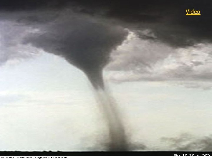
Video Fig. 10 -39, p. 292
Figure 3, p. 295