Korea Institute of Water and Environment Korea Institute


 Bastyan Dam, H=75 m, 1983, Australia (Journal of GGE, ASCE after")
 Foz do Areia Dam, H=160 m, Brazil, 1980 Ita Dam, H=125")
 Rama Dam, H=110 m, Yugoslavia, 1967 (Proc. of CFRDs-Design, Construction, ASCE,")
 (Proc. of CFRDs-Design & Construction, ASCE, after Bolton Seed et. al.")
 Narmashir Dam, H=115, Iran (Dam Engineering, after Ghanooni Mahadadi et. al.")
 Korea Institute of Water and Environment")
 Korea Institute of Water and Environment")
 Korea Institute of Water and Environment")
 K(t/m 2) n v h(%) Bedding 2.")


 Korea Institute of Water and Environment")
 Korea Institute of Water and Environment")
 Korea Institute of Water and Environment")
 최대 침하량 (cm) Hachinohe 23.")

 <완성년도> 댐 형식 Malpasso(페루) 비다짐 <1936> 락필댐 Morena(미국)")
- Slides: 32
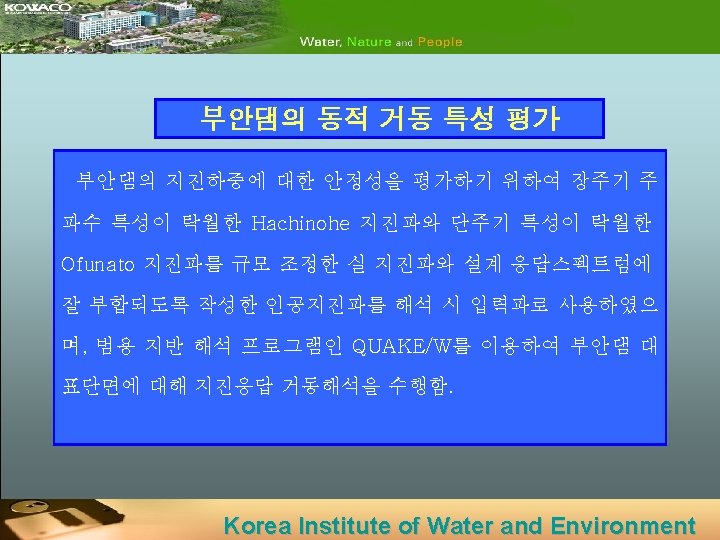
지진에 대한 댐의 안정성 평가 방법 Korea Institute of Water and Environment
부안댐 단면도 Korea Institute of Water and Environment
국외 연구동향 (1) Bastyan Dam, H=75 m, 1983, Australia (Journal of GGE, ASCE after Gaven Huter & Robin Fell, 2003) (Water Power & Dam Construction after J. B. Cooke, 1991) Korea Institute of Water and Environment
국외 연구동향 (2) Foz do Areia Dam, H=160 m, Brazil, 1980 Ita Dam, H=125 m, Brazil, 2000 (Hydropower & Dams, after J. B. Cooke, 1998) Machadinho Dam, H=126 m, 2001 (Hydropower & Dams, after Humes C. & Mauro V. , 2002) after P. Anthiniac, 2002) Korea Institute of Water and Environment
국외 연구동향 (3) Rama Dam, H=110 m, Yugoslavia, 1967 (Proc. of CFRDs-Design, Construction, ASCE, after Gilles Bureau et. al. , 1985) (Journal of Geotechnical Engineering after Nasim Uddin et. al. , 1995) Korea Institute of Water and Environment
국외 연구동향 (4) (Proc. of CFRDs-Design & Construction, ASCE, after Bolton Seed et. al. , 1985) Korea Institute of Water and Environment
국외 연구동향 (5) Narmashir Dam, H=115, Iran (Dam Engineering, after Ghanooni Mahadadi et. al. , 2004) Korea Institute of Water and Environment
입력지진파(Ofunato, 단주기) Korea Institute of Water and Environment
입력지진파(Hachinohe, 장주기) Korea Institute of Water and Environment
입력지진파(인공지진파) Korea Institute of Water and Environment
부안댐의 동적해석에 사용된 지반물성치 rd (t/m 3) K(t/m 2) n v h(%) Bedding 2. 1 715 0. 24 0. 36 0. 05 Transition 2. 1 715 0. 24 0. 36 0. 05 Graded Rock Fill 2. 0 712 0. 533 0. 32 0. 05 Rock Fill 1. 9 706 0. 533 0. 34 0. 05 Base Rock 2. 2 1750 0. 5 0. 42 0. 05 Impervious 1. 8 300 0. 6 0. 18 0. 05 Korea Institute of Water and Environment
Hachinohe파 입력 후 수직응력 분포 Korea Institute of Water and Environment
Ofunato파 입력 후 수직응력 분포 Korea Institute of Water and Environment
인공지진파 입력 후 수직응력 분포 Korea Institute of Water and Environment
Hachinohe파 입력 후 전단응력 분포 Korea Institute of Water and Environment
Ofunato파 입력 후 전단응력 분포 Korea Institute of Water and Environment
인공지진파 입력 후 전단응력 분포 Korea Institute of Water and Environment
Hachinohe파 입력 후 변형양상 Korea Institute of Water and Environment
Ofunato파 입력 후 변형 양상 Korea Institute of Water and Environment
인공지진파 입력 후 변형 양상 Korea Institute of Water and Environment
댐 정상부의 횡방향 변위(Hachinohe파) Korea Institute of Water and Environment
댐 정상부의 횡방향 변위(Ofunato파) Korea Institute of Water and Environment
댐 정상부의 횡방향 변위(인공지진파) Korea Institute of Water and Environment
댐 정상부에서의 횡방향 및 연직방향 최대변위 지진파 횡방향 최대변위(cm) 최대 침하량 (cm) Hachinohe 23. 0 0. 73 Ofunato 5. 92 0. 60 인공지진 8. 52 0. 60 Korea Institute of Water and Environment
부안댐의 가속도 증폭 특성 Korea Institute of Water and Environment
지진시 Rockfill Dam의 거동 사례 댐명(국가) <완성년도> 댐 형식 Malpasso(페루) 비다짐 <1936> 락필댐 Morena(미국) 비다짐 <1895> 락필댐 Cogoti(칠레) CFRD <1939> Pinzanes(멕시코) 비다짐 <1956> 락필댐 Miboro(일본) 경사심벽형 <1964> 락필댐 Minase(일본) CFRD <1964> Kuzuryu(일본) 경사심벽형 <1968> 락필댐 Kisenyama(일본) ECRD <1968> Oroville(미국) RCD <1968> Tarumizu(일본) ECRD <1976> El Infiernillo(멕시코) ECRD <1964> La Villeta(멕시코) RCD <1967> Anderson(미국) ECRD <1950> 댐경사도 (수직수평) 상류 하류 지진 발생 년도 78 0. 5 1. 33 1938 50 0. 5 1. 3 1940 84 1. 6 1. 8 1943 67 1. 2 1. 3 131 2. 5 66. 5 높이 (m) 지진 규모 Ⅵ (진도) Ⅴ (진도) 진앙 거리 (km) 최대지진가속도 (g) 정부 기초 정부침하 및 변위 (cm) 침하 변위 - 0. 1 - 7. 6 5. 1 - 0. 02 - - - 8. 3 16 0. 2 - 38. 1 - 1957 7. 5 - 0. 05 - - - 1. 75 1961 7. 0 16 0. 2 - 3. 0 5. 0 1. 35 2. 0 1964 7. 5 16 0. 08 - 6. 1 4. 0 128 2. 6 1. 8 1964 6. 6 40 0. 02 0. 04 - - 95 2. 2 1969 6. 8 - - 0. 1 - - 235 2. 75 2. 0 1975 5. 7 6. 9 0. 12 0. 9 - 43 3. 7 2. 4 1978 7. 4 100 0. 24 0. 36 - - 148 1. 75 1979 7. 6 110 0. 12 0. 35 13. 0 4. 5 60 2. 5 1979 7. 6 110 0. 1 0. 36 4. 5 3. 0 72 2. 0 1984 6. 2 16 0. 41 0. 63 1. 5 0. 9 Korea Institute of Water and Environment