Intro to GNAF Hugh Saalmans minus 34 Whats


")


 • Keyed by gnaf_pid • Represent an address validated by State")
 • Keyed by street_locality_pid • Represent a unique street name in")
 • Keyed by locality_pid • Represent suburbs, towns, localities and topographic")


- Slides: 27
Intro to GNAF Hugh Saalmans - @minus 34
What’s GNAF?
A national dataset of 13 m validated addresses with coordinates
Why is GNAF awesome?
It underpins decision making & economic activity…
…at the national level
…the regional level
…and at a granular level
GNAF is now…
OPEN DATA!!!
Time for a deep dive!?
The GNAF data model
- 4. 8 Gb - 144 PSV files - 31 tables - 39 foreign keys
Let’s Simplify things…
Introducing… gnaf-loader!
Let‘s get started
Step 1: download the data http: //data. gov. au/dataset/geocoded-national-address-file-g-naf http: //data. gov. au/dataset/psma-administrative-boundaries
Step 2: install the pre-reqs + + (Psycopg 2)
Step 3: run the code* https: //github. com/minus 34/gnaf-loader * or download the Postgres dump files
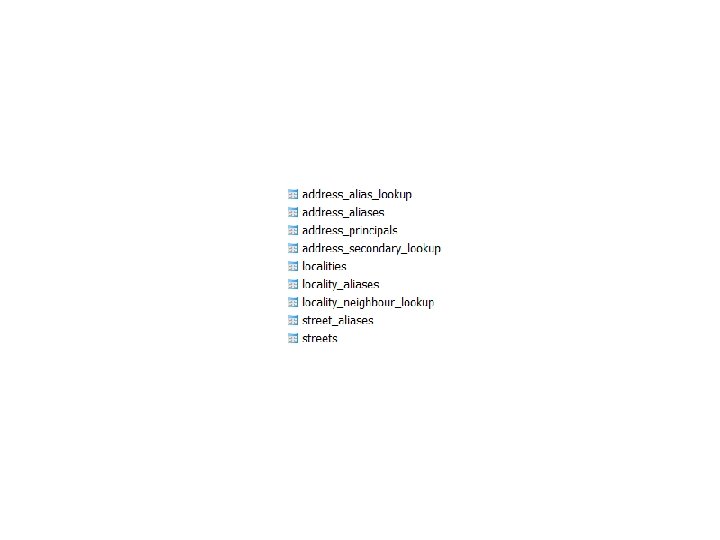
Step 4: learn GNAF. . . ADDRESSES STREETS LOCALITIES
ADDRESSES (13 m) • Keyed by gnaf_pid • Represent an address validated by State Govt, Australia Post and/or the AEC • Must link to a street and locality (via locality_pid & street_locality_pid) • Can be a principal address (20 FRED ST) or an alias/duplicate (20 -30 FRED ST) • Can be a primary address (10 JOHN ST) or secondary address (Unit 2, 10 JOHN ST) • 95% have coordinates inside the property • Link to the ABS Census (mb_2011_code) and property information (legal_parcel_id)
STREETS (700 k) • Keyed by street_locality_pid • Represent a unique street name in a locality • i. e. Pacific Hwy, Chatswood != Pacific Hwy, Artarmon • Must link to a locality (via locality_pid) • Can have an alias name (Main St = Hume Hwy)
LOCALITIES (16 k) • Keyed by locality_pid • Represent suburbs, towns, localities and topographic features • Can have an alias name (CITY, ACT = CANBERRA, ACT) • Are surrounded by neighbouring localities
Thanks, enjoy! BTW…
There’s the Admin Bdys as well!