USGS National Geospatial Program Partnerships Craig A Neidig


- Slides: 12
USGS National Geospatial Program / Partnerships Craig A. Neidig WV Geospatial Liaison Eastern Region Partnership Office U. S. Department of the Interior U. S. Geological Survey National Geospatial Program Office
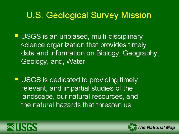
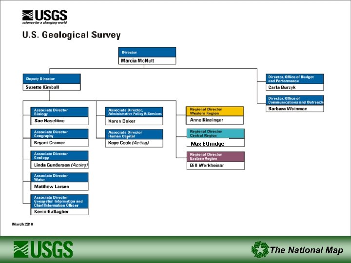
U. S. Geological Survey Mission § USGS is an unbiased, multi-disciplinary science organization that provides timely data and information on Biology, Geography, Geology, and, Water § USGS is dedicated to providing timely, relevant, and impartial studies of the landscape, our natural resources, and the natural hazards that threaten us.
Max Ethridge
USGS Discipline Activities § § Biology – Endangered Species, Ecosystems, Contaminants in Biota Geology – Volcanoes, Earthquakes, Landslides, Geological Mapping Water – Quantity and Quality of Ground Water and Surface Water Geography – Landscape Change, Remote Sensing Research and Mapping
USGS Science Strategy Facing Tomorrow’s Challenges – U. S. Geological Survey Science in the Decade 2007 -2017
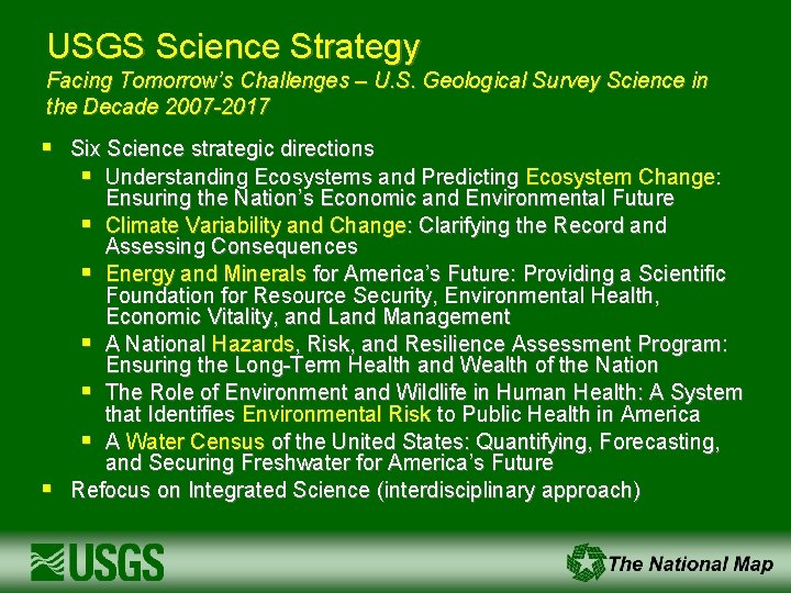
USGS Science Strategy Facing Tomorrow’s Challenges – U. S. Geological Survey Science in the Decade 2007 -2017 § § Six Science strategic directions § Understanding Ecosystems and Predicting Ecosystem Change: Ensuring the Nation’s Economic and Environmental Future § Climate Variability and Change: Clarifying the Record and Assessing Consequences § Energy and Minerals for America’s Future: Providing a Scientific Foundation for Resource Security, Environmental Health, Economic Vitality, and Land Management § A National Hazards, Risk, and Resilience Assessment Program: Ensuring the Long-Term Health and Wealth of the Nation § The Role of Environment and Wildlife in Human Health: A System that Identifies Environmental Risk to Public Health in America § A Water Census of the United States: Quantifying, Forecasting, and Securing Freshwater for America’s Future Refocus on Integrated Science (interdisciplinary approach)
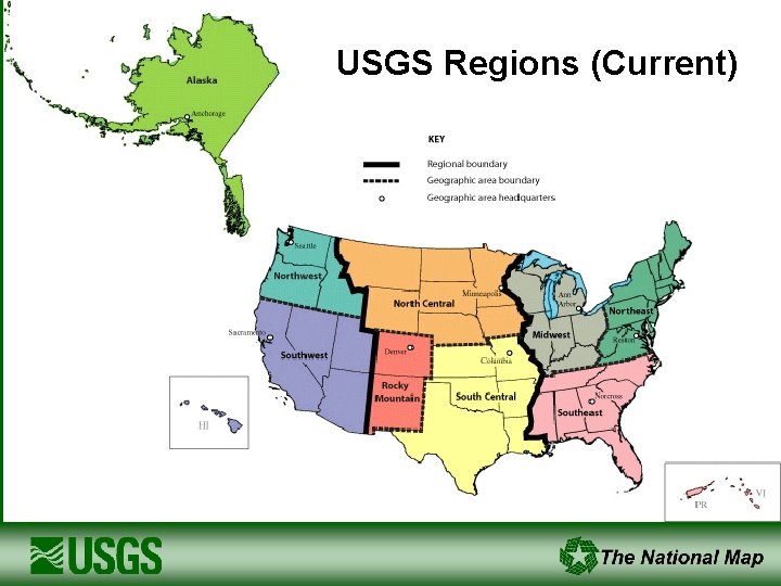
USGS Regions (Current)
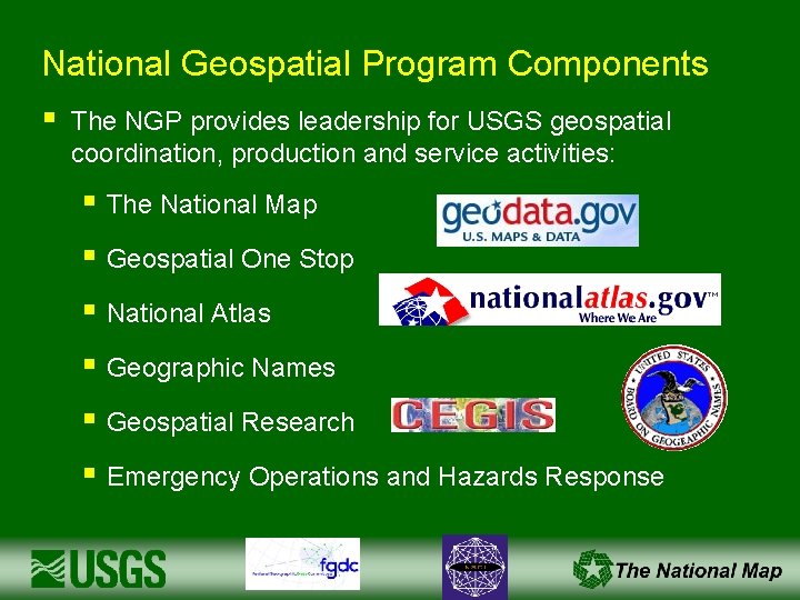
National Geospatial Program Components § The NGP provides leadership for USGS geospatial coordination, production and service activities: § The National Map § Geospatial One Stop § National Atlas § Geographic Names § Geospatial Research § Emergency Operations and Hazards Response
National Geospatial Program Partnerships § Partnerships are the foundation of the NGP: § § § Leverage funding across organizations to provide significant cost savings Reduce redundancy in geospatial data acquisition and stewardship (“collect once use many times”) Ensure availability of common base data to a broad range of users and applications USGS is an integrator and facilitator of partner data FY 10 program - $14 million; FY 11 - ? Partner leveraging in the past several years has averaged approximately $7 for every $1 invested by USGS
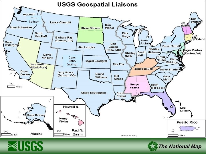
Tom Carlson Carol Giffin (acting) George Heleine Brittany Lynn Roche,
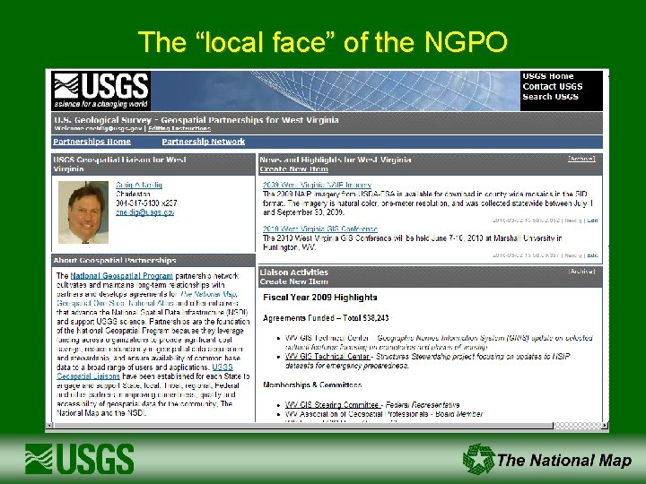
The “local face” of the NGPO
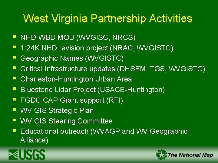
West Virginia Partnership Activities § § § § § NHD-WBD MOU (WVGISC, NRCS) 1: 24 K NHD revision project (NRAC, WVGISTC) Geographic Names (WVGISTC) Critical Infrastructure updates (DHSEM, TGS, WVGISTC) Charleston-Huntington Urban Area Bluestone Lidar Project (USACE-Huntington) FGDC CAP Grant support (RTI) WV GIS Strategic Plan WV GIS Steering Committee Educational outreach (WVAGP and WV Geographic Alliance)