USGS EROS Center The Landsat Archive Access through

 1960 – 1972 • Declass 2 (KH-7, KH-9)")


")


- Slides: 16
USGS EROS Center – The Landsat Archive Access through the Landsat Look Viewer U. S. Department of the Interior U. S. Geological Survey
Satellite Collections • Declass 1 (Corona) 1960 – 1972 • Declass 2 (KH-7, KH-9) 1963 – 1980 • SPOT Pan/Multispectral 1986 – 1998 • Landsat MSS 1972 – 1992 • Landsat Thematic Mapper 1982 – Present • Landsat 7 ETM+ 1999 – Present • Landsat 8 OLI/TIRS 2013 -- Present • EOS/MODIS 2000 – Present • EOS/ASTER 2000 – Present • AVHRR LAC/HRPT 1986 – Present • EO-1 2001 – Present • SIR-C 1994 • Commercial Data Purchases 2002 – Present
Landsat - the longest and most comprehensive record of the Earth’s condition ever assembled. • • • The EROS Landsat archive includes more than 4 million images from 1972 to the present – and spanning the globe. All Landsat images are available to anyone at no cost. Each year nearly 3 million images are distributed to users in over 180 nations and territories.
Accessing Data • Earth. Explorer Ø http: //earthexplorer. usgs. gov • Global Visualization Viewer Ø http: //glovis. usgs. gov/ • Landsat. Look Ø http: //landsatlook. usgs. gov/ • NASA ECHO Ø https: //wist. echo. nasa. gov/api/ • Hazards Data Dist. System Ø http: //hdds. usgs. gov/hdds
Landsat Imagery from Earth Explorer
Landsat on Glo. Vis
“But I just want a good browse image…. . ”
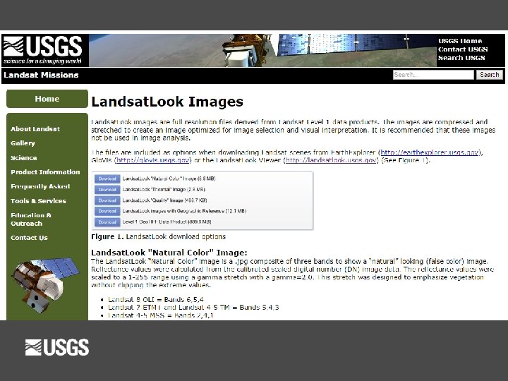
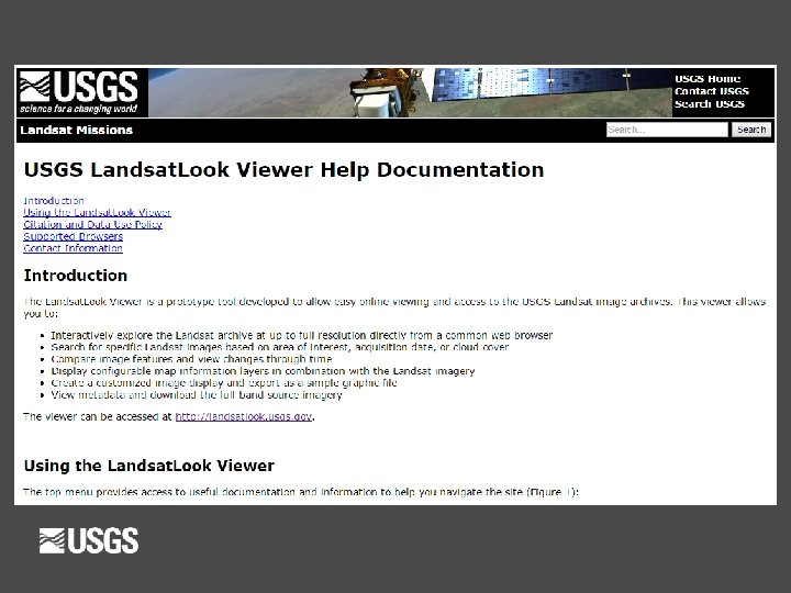
The Landsat. Look Viewer http: //landsatlook. usgs. gov
§ What is the Landsat. Look Viewer? § The Landsat. Look Viewer allows user to quickly and § easily explore the complete Landsat archive… through time… at full resolution. Web-based tool displays all or part of Landsat 1 -8 archive § § § Based on full-resolution browse (FRB) image services § 3 -band RGB composites § Immediate public access (no need for registration, log-in, etc. ) Allows image viewing and extraction (“screen scrape”) in multiple formats No need to download/transfer, unpack (gz/tar), layer stack, etc.
Landsat on Landsat. Look (Full-Resolution Browse)
What is Landsat. Look ? Particularly useful for: General public, outreach and communications, image sharing, students and educators, non-scientists and non-remote sensing specialists, scientific “quick looks”, low-bandwidth users, etc.
VIDEO
Thank You! http: //landsatlook. usgs. gov