History of the Landsat Satellite Landsat 1 2


")


 Bands micrometers 1 0. 45 -0. 52 30 2")
 Bands micrometers 1 0. 45 -0. 52 30 2")


- Slides: 16
History of the Landsat Satellite ◈ Landsat 1, 2 and 3: RBV, MSS Return Beam Vidicon (RBV) - Multi Spectral: 79 m resolution - Panchromatic: 40 m resolution Multi spectral Sensor (MSS) - 79 m resolution
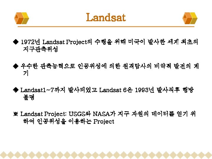
History of the Landsat Satellite ◈ Landsat 1 - 해양과 대기 관측 - 최초의 지구관측위성 - 1972년 7월 23일~1978년 1월 2일 ◈ Landsat 2 - 1975년 1월 22일 발사 ◈ Landsat 3 - 1978년 3월 5일 발사 - 237 m resolution Thermal Band
History of the Landsat Satellite ◈ Landsat 4, 5 - Landsat 4: 1982년 7월 16일 발사 - Landsat 5: 1984년 3월 1일 발사 Sensors Include: MSS, TM - Multi Spectral Sensor (MSS): 79 m resolution (L 1, L 2와 동일) - Thematic Mapper (TM): mid-range infrared to the data, 30 m spatial resolution bands(1~5, 7), 120 m Thermal bald 6
History of the Landsat Satellite ◈ Landsat 6 - 1993년 10월 5일 발사 실패(행방불명) - Enhanced Thematic Mapper (ETM): 15 m resolution panchromatic band, 30 m resolution multi spectral bands
History of the Landsat Satellite ◈ Landsat 7 - 1999년 4월 15일 발사 - Enhanced Thematic Mapper Plus (ETM+): 15 m resolution panchromatic band, 30 m resolution multi spectral bands - Added the Band 6 Low and High gain 60 meter thermal bands.
History of the Landsat Satellite Landsat 1, 2 and 3 Landsat 4, 5 Landsat 6, 7
Landsat Satellite ◈ Landsat 5(TM) Bands micrometers 1 0. 45 -0. 52 30 2 0. 52 -0. 60 30 3 0. 63 -0. 69 30 4 0. 76 -0. 90 30 5 1. 55 -1. 75 30 6 10. 40 -12. 50 120 7 2. 08 -2. 35 30
Landsat Satellite ◈ Landsat 7(ETM+) Bands micrometers 1 0. 45 -0. 52 30 2 0. 53 -0. 61 30 3 0. 63 -0. 69 30 4 0. 78 -0. 90 30 5 1. 55 -1. 75 30 6 10. 40 -12. 50 60 7 2. 09 -2. 35 30 8 0. 52 -0. 90 15
Landsat in Orbit ◈ Sun-Synchronous Orbit ◈ 궤도 경사각 98. 2˚, 비행고도 705 km ◈ 98. 9 minute period, repeats orbital cycle every 16 days ◈ Landsat 4, 5의 적도통과 시각은 지방 평균시 오전 9시 39분, Landsat 7은 오전 10시경 ◈ Each scene is 185 km wide X 170 km high
Landsat Image ◈ Mount St. Helens, Washington ◈ Data: Sep 28, 2004 ◈ Path/Row: 46/28
Landsat Image ◈ Byrd Glacier, Antarctica ◈ Data: Jan 11, 2000 ◈ Path/Row: 44/118
Landsat Image ◈ Turku, Finland ◈ Data: Mar 27, 2003 ◈ Path/Row: 190/18
Landsat Image ◈ 서울 & 춘천, 대한민국 ◈ Data: Jun 16, 1997 ◈ Path/Row: 116/34