
USGS Landsat Overview 5 September 2018 Steve Labahn
USGS Landsat Overview 5 September 2018 Steve Labahn, USGS Landsat International Ground Station Network Manager Committee on Earth Observation Satellites (CEOS) Project Manager LSDS Science Information System (LSIS) Project Manager labahn@usgs. gov, +1 (605) 594 -2701
Landsat Operational Mission Status Landsat 7 w w Acquiring ~470 scenes/day through a continental acquisition strategy On-orbit observatory performance continues to be outstanding 13 active international ground stations Finalized end of mission planning to extend L 7 science operations to overlap with L 9 u u u Assumes December 2020 L 9 launch readiness date Science mission life-cycle potential extends to July 2021 Decommissioning will follow L 9 launch or end of science mission operations, whichever comes first Landsat 8 w w Acquiring ~740 scenes/day with continental acquisition strategy On-orbit observatory performance continues to be outstanding 21 active international ground stations and growing Enhanced Landsat Ground Network (LGN) robustness and reliability through use of international partnerships w Flight Operations now performed under USGS contract for combined mission operation and Landsat Multi-satellite Operations Center (LMOC) development 2
Active Landsat Ground Stations https: //landsat. usgs. gov/igs-network 13 Active L 7 Stations 21 Active L 8 Stations 3

Landsat Global Archive Consolidation (LGAC) Historical Landsat Ground Stations * Does not include Landsat Ground Network (LGN) stations 4

LGAC Scenes by Country (Organization) US (Univ of Puerto Rico) Taiwan (EOSAT) Ecuador (IEE) Japan (HIT) Russia (Scan. Ex) India (ISRO) Pakistan (SUPARCO) Germany (DLR) Saudi Arabia (KACST) Indonesia (LAPAN) South Africa (SANSA) Thailand (GISTDA) Argentina (CONAE) Japan (RESTEC) Brazil (INPE) China (RADI) Australia (GA) Europe (ESA) Canada (CCMEO) 0 200, 000 400, 000 5 600, 000 800, 000 1, 000
Landsat Collection 1 Status l Landsat Collection 1 processing complete u Landsat 1 -5 MSS processing now complete l l u TM No-PCD processing is complete l l l Released to the public on May 15 th Existing Pre-Collection MSS data remains available for public download through October 1 st Processing completed in mid-March No collective “release” for these scenes; trickled into existing Collection 1 as processed Collection 1 processing now limited to Landsat 7 and 8 forward processing, new LGAC data, and is proceeding nominally 6
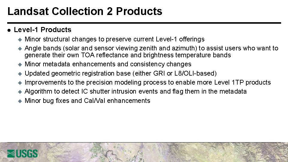
Landsat Collection 2 Products l Level-1 Products u u u u Minor structural changes to preserve current Level-1 offerings Angle bands (solar and sensor viewing zenith and azimuth) to assist users who want to generate their own TOA reflectance and brightness temperature bands Minor metadata enhancements and consistency changes Updated geometric registration base (either GRI or L 8/OLI-based) Improvements to the precision modeling process to enable more Level 1 TP products Algorithm to detect IC shutter intrusion events and flag them in the metadata Minor bug fixes and Cal/Val enhancements 7
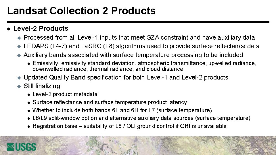
Landsat Collection 2 Products l Level-2 Products u u u Processed from all Level-1 inputs that meet SZA constraint and have auxiliary data LEDAPS (L 4 -7) and La. SRC (L 8) algorithms used to provide surface reflectance data Auxiliary bands associated with surface temperature processing to be included l u u Emissivity, emissivity standard deviation, atmospheric transmittance, upwelled radiance, downwelled radiance, thermal radiance, and cloud distance Updated Quality Band specification for both Level-1 and Level-2 products Still finalizing: l l l Level-2 product metadata Surface reflectance and surface temperature product latency Whether to include both bands 6 L and 6 H for L 7 (surface temperature) L 8/L 9 split-window option and alternative auxiliary data sources (surface temperature) Registration base – suitability of L 8 / OLI ground control if GRI is unavailable 8
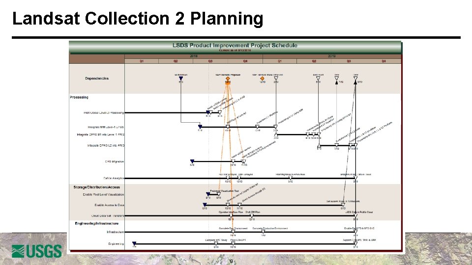
Landsat Collection 2 Planning 9
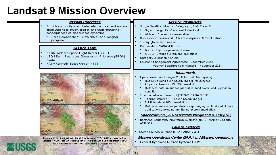
Landsat 9 Mission Overview Mission Objectives • Provide continuity in multi-decadal Landsat land surface observations to study, predict, and understand the consequences of land surface dynamics • Core Component of Sustainable Land Imaging program Mission Team • • • NASA Goddard Space Flight Center (GSFC) USGS Earth Resources Observation & Science (EROS) Center NASA Kennedy Space Center (KSC) • • • Mission Parameters Single Satellite, Mission Category 1, Risk Class B • 5 -year design life after on-orbit checkout • At least 10 years of consumables Sun-synchronous orbit, 705 km at equator, 98°inclination 16 -day global land revisit Partnership: NASA & USGS • NASA: Flight segment & checkout • USGS: Ground system and operations Category 3 Launch Vehicle Launch: Management Agreement - December 2020 Agency Baseline Commitment – November 2021 Instruments • • Operational Land Imager 2 (OLI-2; Ball Aerospace) • Reflective-band push-broom imager (15 -30 m res) • 9 spectral bands at 15 - 30 m resolution • Retrieves data on surface properties, land cover, and vegetation condition Thermal Infrared Sensor 2 (TIRS-2; NASA GSFC) • Thermal infrared (TIR) push-broom imager • 2 TIR bands at 100 m resolution • Retrieves surface temperature, supporting agricultural and climate applications, including monitoring evapotranspiration Spacecraft (S/C) & Observatory Integration & Test (I&T) • Northrop Grumman Innovation Systems (NGIS), formerly Orbital ATK (OA) Launch Services • United Launch Alliance (ULA) Atlas V 401 Increase in pivot irrigation in Saudi Arabia from 1987 to 2012 as recorded by Landsat. The increase in irrigated land correlates with declining groundwater levels measured from GRACE (courtesy M. Rodell, GSFC) Mission Operations Center (MOC) and Mission Operations • 10 General Dynamics Mission Systems (GDMS)
Landsat 9 Status l Joint development between NASA and USGS (same as Landsat 8) u u l Landsat 9 is a rebuild of Landsat 8 with targeted upgrades u u u l Upgrade to fully Class B (TIRS was a Class C instrument on Landsat 8) TIRS-2 address on-orbit issues with Landsat 8 TIRS (stray light and position encoder) Ground System upgraded to multi-mission capabilities (Landsat 9 development takes priority) Overall mission making excellent progress u u l NASA responsible for space and launch segment, mission success through handover USGS responsible for ground segment and on-orbit operations after handover Launch vehicle contract awarded in October 2017 to United Launch Alliance (ULA) Key Decision Point C was on December 6, 2017 Ground System Critical Design Review planned in September 2018 OLI-2 and TIRS-2 instruments in fabrication and on-track for mid-2019 delivery to the spacecraft On-track for launch in December 2020 with transition-to-operations in March 2021 11
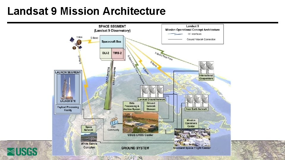
Landsat 9 Mission Architecture 12
Landsat 9 Ground System Architecture 13 13

Sustainable Land Imaging Architecture Study Team l NASA/DOI/USGS SLI AST will execute a study for the design and implementation approach of a spaceborne system to provide global, continuous Landsat-quality multispectral and thermal infrared measurements for approximately a ten-year period starting in 2026 l Oversight provided by the NASA Associate Administrator for Science and the DOI Assistant Secretary for Water and Science l AST-2019 will inform NASA and DOI/USGS acquisition strategies on options for both the space and ground segments, potential contributions from international partners and commercial Earth Observation data suppliers, and business model alternatives u l Address large increase in the number of commercial and international providers of Earth observation data in the previous few years Ground System a major driver for AST-2019 (and USGS NLI) 14
Questions? 15
- Slides: 15