Physical Geography of North Africa Southwest Asia Middle


- Slides: 10

Physical Geography of North Africa & Southwest Asia (Middle East) Francisci WG. 4

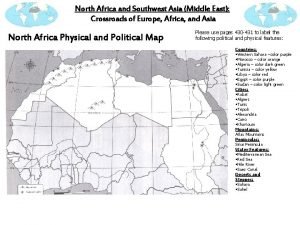
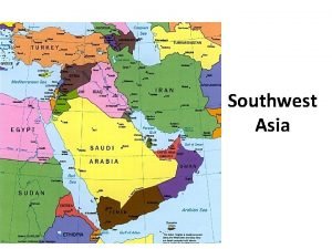
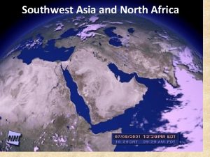
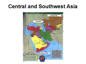
What countries make up the Middle East? • There is no single agreed upon definition on what specifically makes up the Middle East. • For our class, the Middle East will consist of North Africa and Southwest Asia. • The Middle East is located at the crossroads of Europe, Africa and Asia. • Since ancient times, the Middle East has connected major trade routes between Europe and Asia.

Climate of the Middle East • Climate dictates where people live. • Nearly all of the region is desert so people are clustered along the coastal areas. • Desert: between 0 -10 inches of precipitation per year, very little vegetation • Sahara Desert in northern Africa (growing due to desertification – when a dry area becomes totally dry). • Steppe (semi-arid): between 10 -20 inches of precipitation per; vegetation consists of grasslands; • Sahel located south of the Sahara Desert (shrinking).

Climate of the Middle East • Africa’s mildest, most temperate climates are found along the Mediterranean Coasts. • Snow can be found along the mountain ranges of the Middle East.

• An oasis or a wadi are commonly found in desert climates. • Oasis: place in the desert where there is some water and vegetation all year long (Found in Saudi Arabia, Israel and Syria). • Wadi: Valley, ravine or channel that is dry most of the time, except when there are periods of precipitation. Climate of Middle East

Middle Eastern Mountain Ranges • Mountain regions have historically kept ethnic groups separate. • Atlas Mountains: Northwestern Africa. • Taurus Mountains: Southern Turkey. • Zagros Mountains: Western Iran.

Middle Eastern Rivers • • Tigris River (Iraq) Euphrates (Iraq) Jordan River (Jordan) Nile River: Longest river in the world • Flows from the Sudan through Egypt to the Mediterranean Sea. • Source of food, water, transportation route • Yearly seasonal floods produce fertile alluvial soil: fine grained fertile soil deposited by flood plains (floods also occur in Tigris and Euphrates. • Delta: Area where the river fans out and deposits rich alluvial soil before it empties into another body of water.

Important Water Features • Mediterranean Sea • Red Sea • Black Sea • Persian Gulf • Arabian Sea

Straits • Strait: A narrow passage of water that connects two large areas of water. • Bosporus Strait • Dardanelles Strait • Strait of Hormuz

People’s Perspective • The names of regions and/or bodies of water may vary depending on perspective. – The Arabian Gulf may be called the Persian Gulf by Iranians. – The region may be called North Africa and Southwest Asia or also the Middle East.
 North africa and southwest asia physical geography
 Southwest asia and north africa physical map
 Southwest asia and north africa physical map
 Swana political map
 Swana region
 North africa and southwest asia mountains
 Map of southwest asia
 Peninsulas and waterways in southwest asia
 Physical features of the middle east map
 Chapter 15 lesson 1 physical geography of north africa
 Chapter 22 human geography of southwest asia

