Physical Geography of Africa Chapter 18 The Plateau


 • Escarpment-")


 Ex. Gold Uses money, jewelry, decoration")


- Slides: 37
Physical Geography of Africa Chapter 18 - The Plateau Continent
Section 1: Landforms & Resources • Plateau- land area with a flat surface considerably higher than the surrounding area • Plateaus are Africa’s most prominent physical features • Basin- depressions in the land in a plateau, usually has rivers or lakes in this area
Section 1: Landforms & Resources • Nile River- world’s longest river • covering more than 4, 000 miles • Africa’s rivers- many are not useful for transportation because they have too many waterfalls, & rapids • What does this mean for the economy? Makes it difficult to transport goods
Section 1: Landforms & Resources • Rift Valleys- long valleys formed by cracks between continental plates. • Large lakes & rivers have formed in these areas • Lake Tanganyika is the longest freshwater lake in the world located within the rift valley
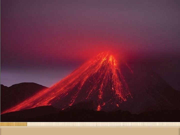
Section 1: Landforms & Resources • Mount Kilimanjaro- Africa’s highest mountain (volcano) • Escarpment- steep slope with a nearly flat plateau on top • Marks the edge of the continent in the South.
Section 1: Landforms & Resources • Resources- Africa is very rich in natural resources, but has had trouble developing the industries. • Blood Diamonds • Colonialism • Due to European colonial rule, African nations have been slow to develop the infrastructure & industries to turn the resources into valuable products
Section 1: Landforms & Resources • Africa has large quantities of gold, platinum, chromium (used for stainless steel), cobalt, copper, phosphates, diamonds, & other minerals • Libya, Nigeria, Algeria & Angola have oil reserves (use money to fund civil wars)
Diversity of Resources • What are the two profitable commodities besides oil? Coffee and lumber • Coffee is the most profitable commodity in Africa • They grow 20% of the world’s supply • Other major commodities include sugar, palm oil, & cocoa (world’s largest exporter) How do most Africans earn their living? 66% of Africans earn their living from farming • Most important economic activity in Africa
Create a two-column chart Resources (10) Ex. Gold Uses money, jewelry, decoration
Section 2: Climate & Vegetation • Sahara- largest desert in the world. Means desert in Arabic • Over 122°F during day & below freezing at night in the winter • Aquifers- huge stores of underground water. • 6, 000 feet below the Sahara
Section 2: Climate & Vegetation • Oasis- water that reaches the surface from an aquifer in the desert
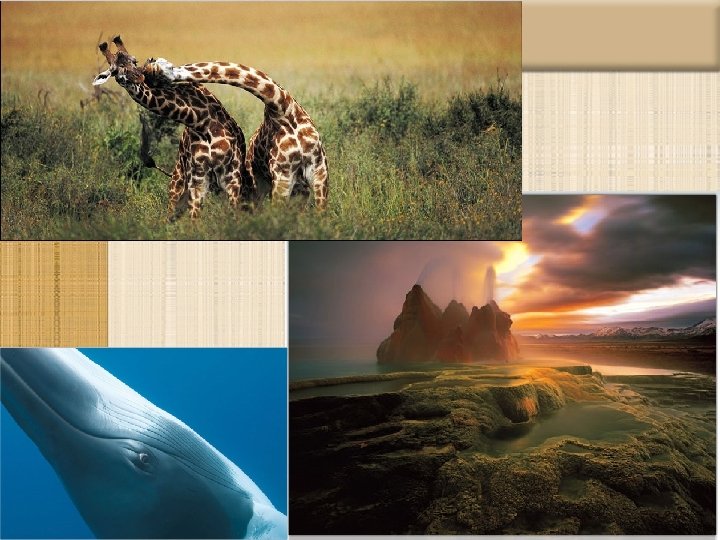
Section 2: Climate & Vegetation • Natural Vegetation of Africa
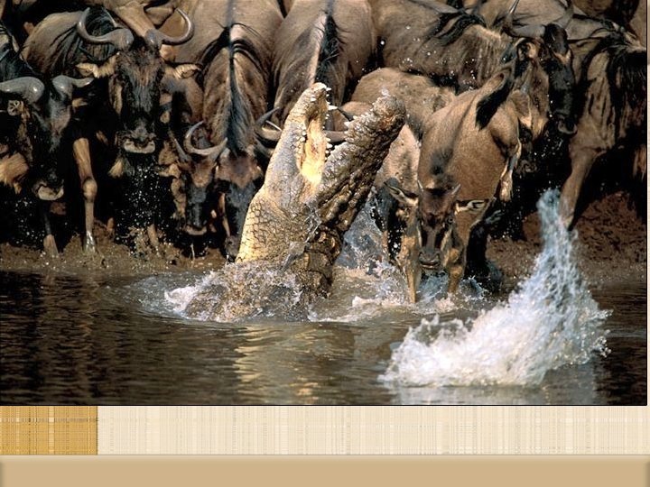
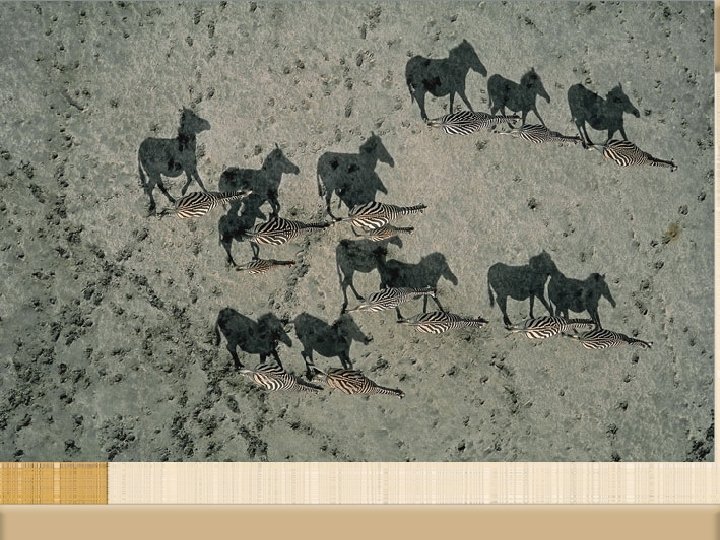
Section 2: Climate & Vegetation • Serengeti Plain- tropical grassland • Ideal for grazing animals
Section 2: Climate & Vegetation • Canopy- uppermost layer of branches (about 150 ft. above ground), in the rainforest. • Many species of plants & animals.
Section 3: Human-Environment Interaction • Sahel- narrow band of dry grassland on the southern edge of the Sahara.
Section 3: Human-Environment Interaction • Desertification- expansion of dry conditions into moist areas that are next to deserts. • Major problem for the Sahel region
Section 3: Human-Environment Interaction • Aswan High Dam • Controls the Nile River • Lake Nasser was created behind it • Finished in 1970 • Benefits • Fewer floods • More farmable land
Section 3: Human-Environment Interaction • Problems • • • More standing water Evaporation Malaria More Salt Less Silt
Section 3: Human-Environment Interaction • Silt- very fertile sediment, that is deposited on the soil after floods