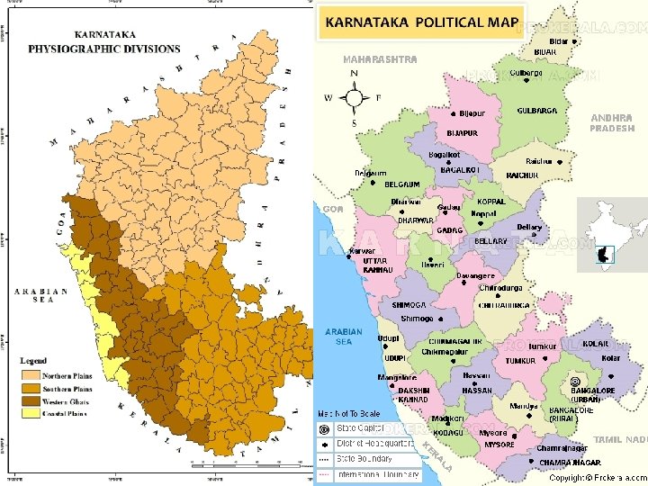
Physical Features of Karnataka Karnataka Location Physiography Karnataka


- Slides: 17
Physical Features of Karnataka
Karnataka : Location & Physiography ü Karnataka state is a part of peninsular India. ü Karnataka’s southern part consists of an undulating topography whereas the northern part is a vast plain. ü The land slopes slightly towards the east & steeply towards west. ü Physiographically the State may be divided into four distinct regions: § The Coastal Plains § The Malnad Region § The Northern Maidan § The Southern Maidan
The Coastal Plain ü This region extends between the Western Ghats edge & the Arabian Sea. ü It extends for 320 km from north to south in Karnataka & 13 to 32 km wide in the north & 50 to 65 km wide in south. ü Many fast flowing rivers cut through the coastal areas & form estuaries. ü New Mangalore, Bhatkala, Malpe, karwar, Kumta, Belekere & Honnavara are important ports. ü Panambur, Ullal & Someshwara are some important beaches. ü The region receives very heavy and assured rainfall, which exceeds 2, 500 mm.
Cashew nut Areca nut Cardamom Paddy
The Malnad Región ü Malnad Region or the ‘Sahyadris’ runs parallel to the coastline from north to south. ü Total length is 650 kms & total width is 50 -75 kms. Its height ranges from 900 to 1500 meters from sea level. ü The rivers create many valleys & gorges. ü Steep slope in the west & gentle slope in the east. ü The malnad region receives more than 200 cms rainfall annually. ü Malnad region is a protected ‘Bio-diversity zone’.
Coffee Plantation Chikamagalur Rubber Plantation Kodagu Tea Plantation Chikamagalur Orange Plantation Kodagu
Shiradi Ghat Hassan - Mangalore Charmadi Ghat Mangalore - Chikmagalur Agumbe Ghat Shimoga - Udupi Hulikal Ghat Shimoga - Kundapur
Jog Falls
Mullaiyangiri Rudragiri Kudremukh Pushpagiri
The Northern Maidan Región ü The Northern Maidan region is a vast plain land with black soil & is an extensive plateau. ü It is around 365 to 610 meters above sea level. ü It has rugged landforms with limestone at some places. ü This region is situated in the rain shadow region. The rainfall ranges from 350 to 900 mm. ü The Krishna, the Bhima and the Tungabhadra river systems drain the area. ü This region is also called ‘The Land of Sunshine’.
Cotton Jowar Groundnut Grapes
Gokak Falls
The Southern Maidan Región ü The Northern Maidan region extends from the Tungabhadra river basin in the north to Chamarajanagar district in the south. ü The red soil with varying shades with not so fertility predominates here. ü This area is made up of hard crystalline igenous rocks. ü This is also a rain shadow region like Northern Maidan and receives a rainfall of 500 to 750 mm & the amount decreases from west to east. ü The Tungabhadra, the Cauvery, the Pennar and the Palar river systems drain this region.
Madhugiri
Ragi Sugarcane Floriculture Mulberry
Thank You for listening