Lewes Waterfront Preserve Application Concerns New Road Preservation
- Slides: 15
Lewes Waterfront Preserve: Application Concerns New Road Preservation Alliance www. preservelewes. com
Purpose of 2/20/19 Presentation We are here tonight to raise concerns, on behalf of our group and Lewes neighbors, about the Lewes Waterfront Preserve application to insure that these issues are on record for consideration by the Lewes Planning Commission As this is not the official public hearing, I am presenting a brief summary of the concerns, which relate directly to the City Code. We will present more detailed arguments at the public hearing. Our goal tonight is to identify areas within the 22 consideration points under Chapter 170. Subdivsion and Land Development Article iii. Major Subdivision 170 -19. Preliminary Consent E. Planning Commission Review that we hope the Lewes Planning Commission will explore further as part of the consideration for this major subdivision. The following points will be numbered, referencing the 22 points for consideration
(4) Preservation of natural and historical features Per the State Historic Preservation Office (SHPO) in the PLUS Response, they have concerns about this development as it may affect a known archaeological site, the Derrickson Site (S 00533), and impact areas with a high potential for sites and burials. The site was investigated in the 1950’s and artifacts associated with Native Americans and the earliest European settlers were discovered. A Native American was excavated from the area at that time. Delaware SHPO stated that they are concerned about important archeological material and human remains may still be present and would be disturbed by excavation. We request this be acknowledged and further explored
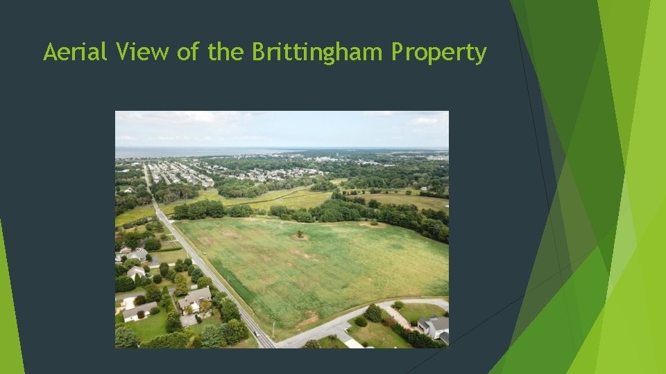
(5) Preservation of open space and scenic views- Applicant’s Open Space Calculations are Misleading The application states that the parcel is 34. 64 acres and they are generously leaving 68. 9% (23. 88 acres) open space. This is misleading because a great deal of this “open space” is unbuildable. Fact: 11. 41 acres are designated wetlands Fact: The acreage along Canary Creek on the development side is in the 100 year floodplain. Construction is only set back 50 feet from the floodplain line. While this meets current zoning minimums, it can’t be considered generous. DNREC requests 100 foot buffers in their PLUS response. All scenic views from New Road and adjacent properties will be forever marred by this development. This is the gateway to the City of Lewes and will be turned into a field of tall and densely packed townhomes. We question what the actual percentage of open space is on the buildable portion of the parcel and request that this be calculated and provided to the LPC
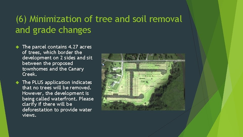
Aerial View of the Brittingham Property
(6) Minimization of tree and soil removal and grade changes The parcel contains 4. 27 acres of trees, which border the development on 2 sides and sit between the proposed townhomes and the Canary Creek. The PLUS application indicates that no trees will be removed. However, the development is being called waterfront. Please clarify if there will be deforestation to provide water views.
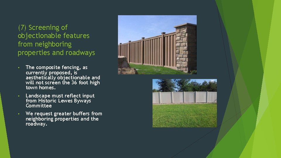
(7) Screening of objectionable features from neighboring properties and roadways • The composite fencing, as currently proposed, is aesthetically objectionable and will not screen the 36 foot high town homes. • Landscape must reflect input from Historic Lewes Byways Committee • We request greater buffers from neighboring properties and the roadway.
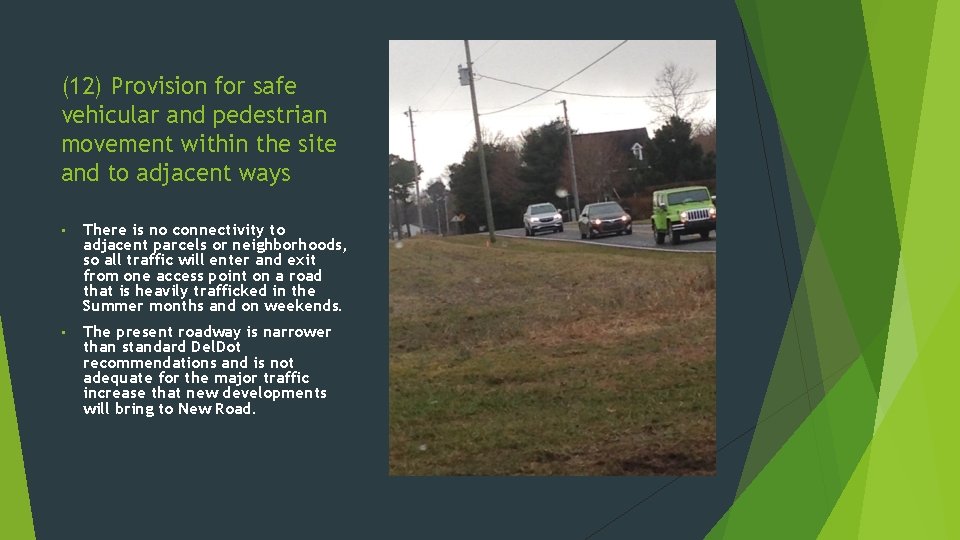
(12) Provision for safe vehicular and pedestrian movement within the site and to adjacent ways • There is no connectivity to adjacent parcels or neighborhoods, so all traffic will enter and exit from one access point on a road that is heavily trafficked in the Summer months and on weekends. • The present roadway is narrower than standard Del. Dot recommendations and is not adequate for the major traffic increase that new developments will bring to New Road.
(13) Effect on area property values Yes, neighbors are concerned that a townhome development will cheapen the character on the north end of Lewes and negatively impact property values. Townhomes, which will be less expensive than nearby single family homes, could hurt property values and increase days on market for “used” homes selling nearby, as many buyers retiring here from other states want new homes over the existing homes. Is this a move toward cheapening the north end of town along the New Road corridor?
(16) Compatibility with adjacent area land uses This is one of our largest concerns, as there are no attached dwellings townhomes on any adjacent parcels No adjacent neighborhoods have density that is similar The height of these townhomes, at 36 feet high above flood level, will exceed the height of adjacent neighborhoods and look overly tall and out of character The lots sizes of roughly 28 by 97 feet (approximately 2716 sq ft or 0. 0624 acres) are not in keeping with adjacent lot sizes (see next page)
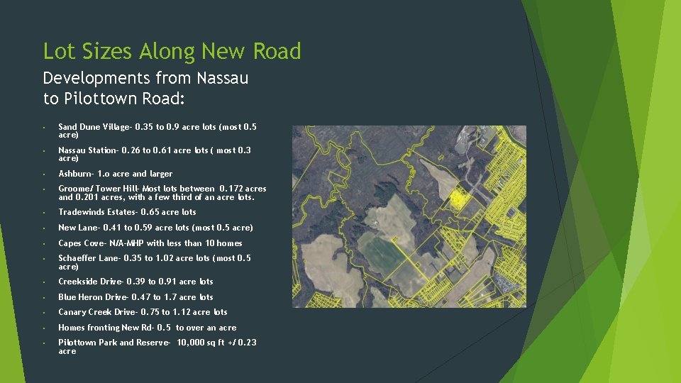
Lot Sizes Along New Road Developments from Nassau to Pilottown Road: • Sand Dune Village- 0. 35 to 0. 9 acre lots (most 0. 5 acre) • Nassau Station- 0. 26 to 0. 61 acre lots ( most 0. 3 acre) • Ashburn- 1. o acre and larger • Groome/ Tower Hill- Most lots between 0. 172 acres and 0. 201 acres, with a few third of an acre lots. • Tradewinds Estates- 0. 65 acre lots • New Lane- 0. 41 to 0. 59 acre lots (most 0. 5 acre) • Capes Cove- N/A-MHP with less than 10 homes • Schaeffer Lane- 0. 35 to 1. 02 acre lots (most 0. 5 acre) • Creekside Drive- 0. 39 to 0. 91 acre lots • Blue Heron Drive- 0. 47 to 1. 7 acre lots • Canary Creek Drive- 0. 75 to 1. 12 acre lots • Homes fronting New Rd- 0. 5 to over an acre • Pilottown Park and Reserve- 10, 000 sq ft +/ 0. 23 acre
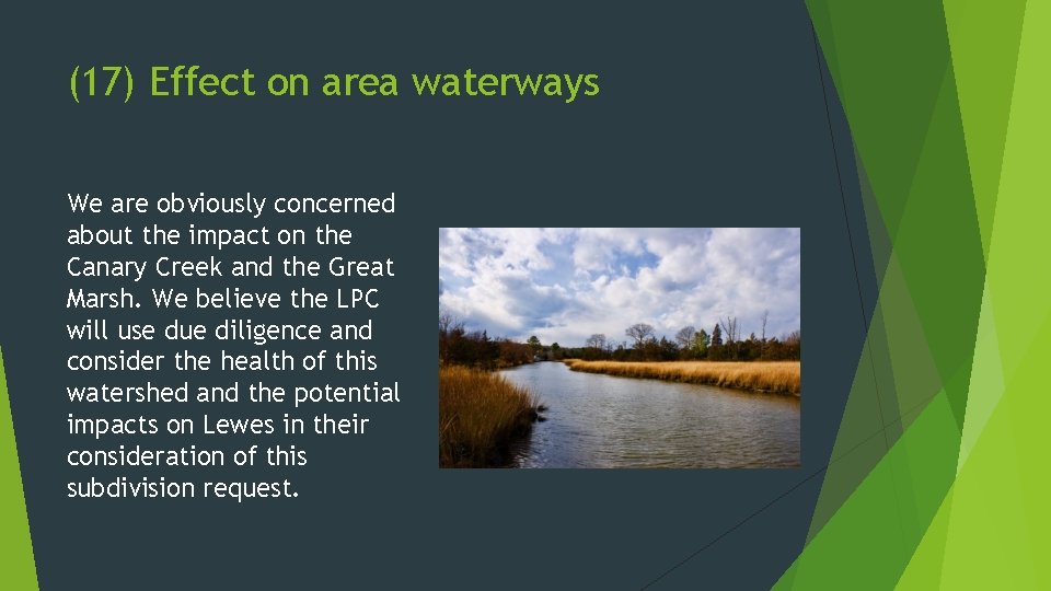
(17) Effect on area waterways We are obviously concerned about the impact on the Canary Creek and the Great Marsh. We believe the LPC will use due diligence and consider the health of this watershed and the potential impacts on Lewes in their consideration of this subdivision request.
(20) Recognition of scenic byways and walkability As proposed, the development is isolated, and not safely walkable, from the rest of the City of Lewes. We ask the LPC to consider requiring the developer to construct a multi-use path along New Road, at their expense, to connect to the path at Park Ave. This would connect this newly annexed area to the City of Lewes, increase walkability, and decrease vehicular traffic. New Road is a designated Historic Byway. We request that the applicant be required to integrate the beauty of this byway and the Canary Creek into the design aesthetic.
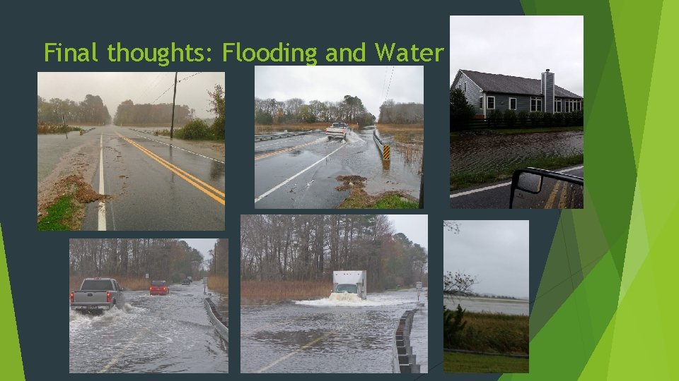
Final thoughts: Flooding and Water
Additional Requests for The Lewes Planning Commission Hydrologist study of the site that includes a future model of flooding and the role of hydrostatic pressure on this parcel and nearby neighborhoods Traffic study with a future traffic demand model that includes future traffic from the Route One and Minos Conaway realignment Fully consider the impact of runoff on the Canary Creek watershed, Great Marsh, and nearby Lewes Neighborhoods and how this will contribute to flooding in our neighborhoods. Flooding is a SERIOUS concern for everyone in Lewes, but especially those near the Great Marsh who must evacuate via New Road. Require the developer to work carefully with the State Historic Preservation Office and conduct an archeological survey, if recommended Require developer to cooperate with the Historic Lewes Byway Committee and incorporate their recommendations