Landscape Change in the Napa River Watershed 1800
- Slides: 31
Landscape Change in the Napa River Watershed, 1800– 2002: Implications for the Restoration of In-Stream, Floodplain, and Valley Floor Habitat Grossinger, R. , Striplen, C. , Brewster, E. , San Francisco Estuary Institute and L. Collins, Watershed Sciences CALFED Science Conference January 16, 2003
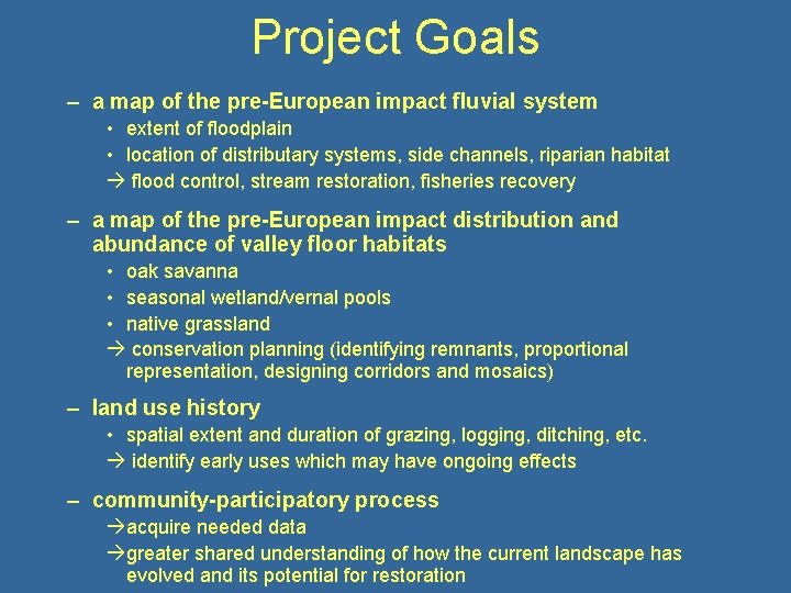
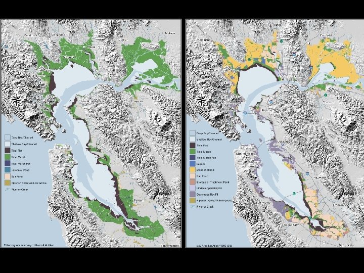
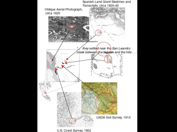
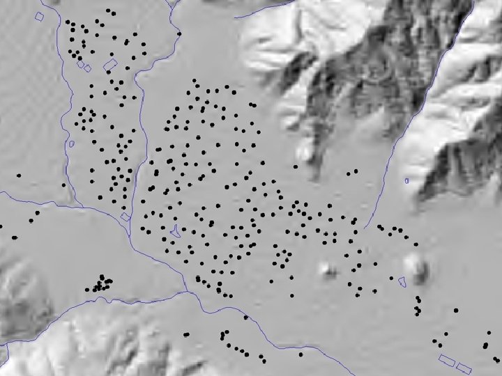
Project Goals – a map of the pre-European impact fluvial system • extent of floodplain • location of distributary systems, side channels, riparian habitat flood control, stream restoration, fisheries recovery – a map of the pre-European impact distribution and abundance of valley floor habitats • oak savanna • seasonal wetland/vernal pools • native grassland conservation planning (identifying remnants, proportional representation, designing corridors and mosaics) – land use history • spatial extent and duration of grazing, logging, ditching, etc. identify early uses which may have ongoing effects – community-participatory process acquire needed data greater shared understanding of how the current landscape has evolved and its potential for restoration
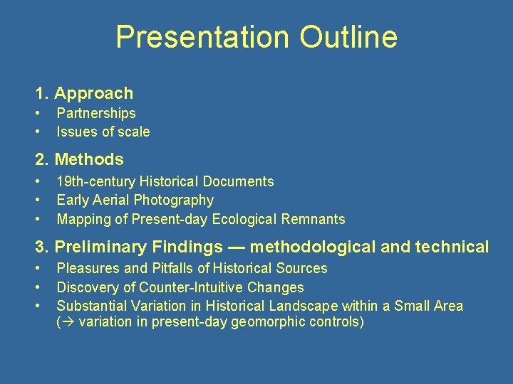
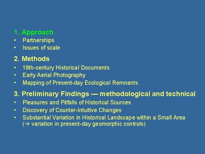
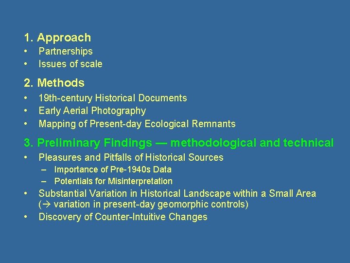
Presentation Outline 1. Approach • • Partnerships Issues of scale 2. Methods • • • 19 th-century Historical Documents Early Aerial Photography Mapping of Present-day Ecological Remnants 3. Preliminary Findings — methodological and technical • • • Pleasures and Pitfalls of Historical Sources Discovery of Counter-Intuitive Changes Substantial Variation in Historical Landscape within a Small Area ( variation in present-day geomorphic controls)
Napa River Watershed Historical Ecology Project endorsed and/or funded by: • Napa Valley Vintners Association • Land Trust of Napa County • Mead Foundation • Mennen Environmental Foundation • Napa County Planning Department • Napa County Resource Conservation District • SF Bay Region Water Quality Control Board • California Department of Fish and Game • Army Corps of Engineers • CALFED Watershed Program
Napa River Watershed Historical Ecology Project Collaborators Shari Gardner and Chris Malan, Friends of Napa River – local project coordinators Elise Brewster, Brewster Design Arts – archival research, historical cartography Mike Champion, Napa RCD – archival research Sarah Pearce, SFEI – fluvial geomorphology Laurel Collins, Watershed Sciences – fluvial geomorphology Chuck Striplen, SFEI and UCB – pre-European land management Josh Collins, SFEI – wetlands geomorphology Lester Mc. Kee, SFEI – watershed processes Jake Ruygt, Napa County Botanist – local plant community ecology Robin Grossinger, SFEI – historical ecology/landscape history Thomas Burns, GIS Mapping and Analysis – historical photogrammetry Eric Wittner, SFEI – GIS development
1. Approach • • Partnerships Issues of scale 2. Methods • • • 19 th-century Historical Documents Early Aerial Photography Mapping of Present-day Ecological Remnants 3. Preliminary Findings — methodological and technical • • • Pleasures and Pitfalls of Historical Sources Discovery of Counter-Intuitive Changes Substantial Variation in Historical Landscape within a Small Area ( variation in present-day geomorphic controls)
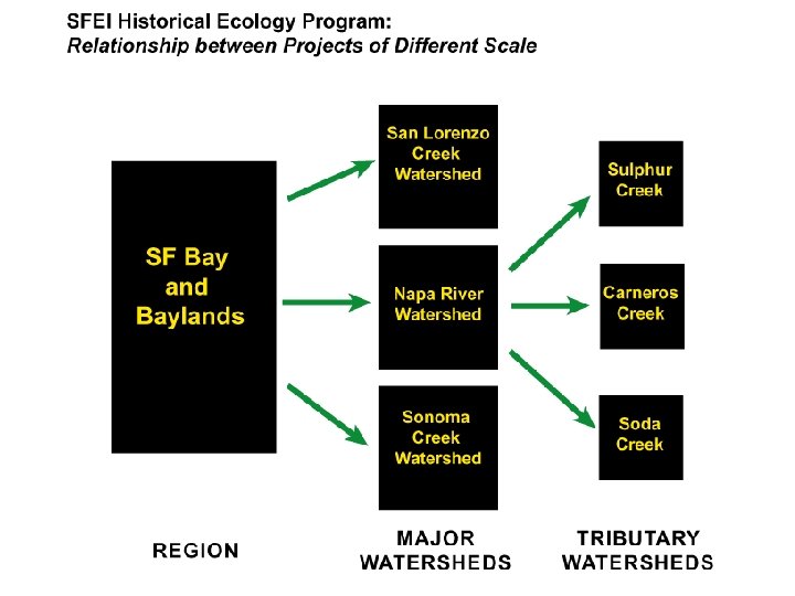
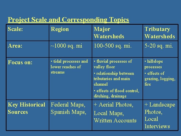
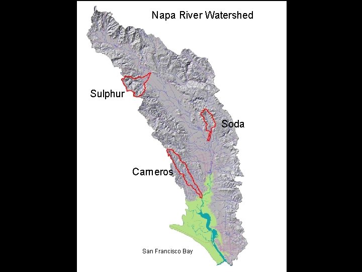
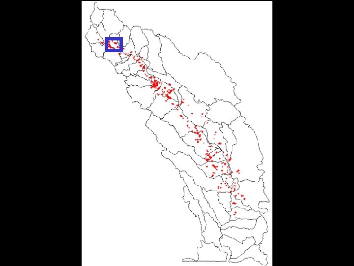
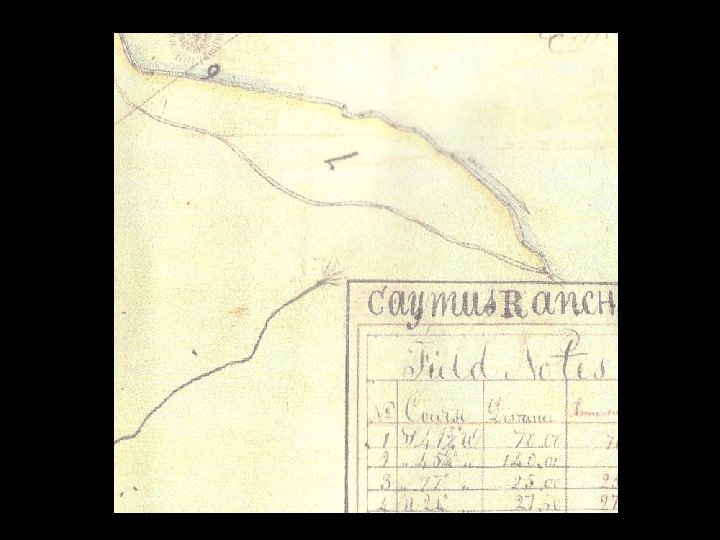
Project Scale and Corresponding Topics Scale: Region Major Watersheds Tributary Watersheds Area: ~1000 sq. mi 100 -500 sq. mi. 5 -20 sq. mi. Focus on: • tidal processes and lower reaches of streams • fluvial processes of valley floor • relationship between tributaries and main channel • effects of flood control, ditching, drainage • hillslope processes • effects of grazing, logging, fire + Aerial Photos, Local Maps, Written Accounts + Landscape Photos, Local Interviews Key Historical Federal Maps, Sources Spanish Maps,
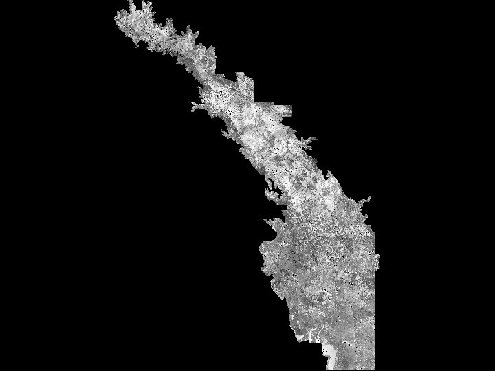
Napa River Watershed Sulphur Soda Carneros San Francisco Bay
1. Approach • • Partnerships Issues of scale 2. Methods • • • 19 th-century Historical Documents Early Aerial Photography Mapping of Present-day Ecological Remnants 3. Preliminary Findings — methodological and technical • • • Pleasures and Pitfalls of Historical Sources Discovery of Counter-Intuitive Changes Substantial Variation in Historical Landscape within a Small Area ( variation in present-day geomorphic controls)
1. Approach • • Partnerships Issues of scale 2. Methods • • • 19 th-century Historical Documents Early Aerial Photography Mapping of Present-day Ecological Remnants 3. Preliminary Findings — methodological and technical • Pleasures and Pitfalls of Historical Sources – Importance of Pre-1940 s Data – Potentials for Misinterpretation • • Substantial Variation in Historical Landscape within a Small Area ( variation in present-day geomorphic controls) Discovery of Counter-Intuitive Changes
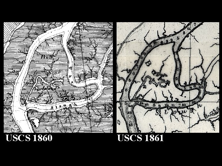
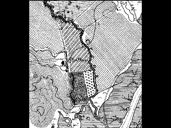
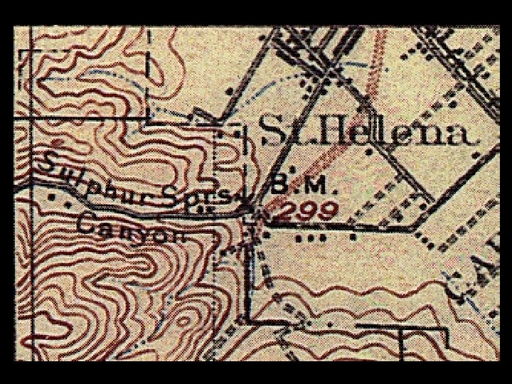
USCS 1860 USCS 1861
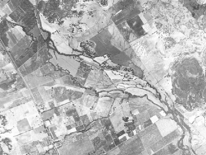
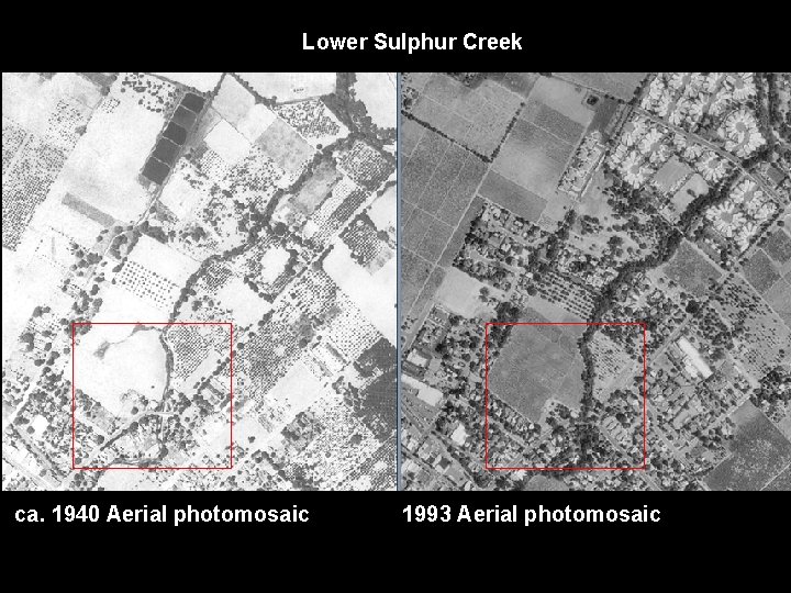
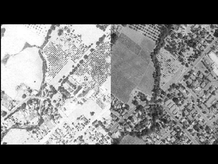
Lower Sulphur Creek ca. 1940 Aerial photomosaic 1993 Aerial photomosaic
Products from Napa River Watershed Landscape Change Studies • Historical Ecology Component of Napa Watershed Exhibit at the Napa Valley Museum -- opens January 25 • Napa River Sediment TMDL Baseline Study: Geomorphic Processes and Habitat Form and Function in Soda Creek -~ 1 month • Stewardship Support and Watershed Assessment in the Napa River Watershed: A CALFED Project (Sulphur and Carneros Creeks) -- ~ 6 months • Napa Valley at the Time of European Contact GIS and Report -- ~ 1 year (pending funding) www. sfei. org