Iowa Environmental Mesonet Using Open Source GIS Tools

- Slides: 28
Iowa Environmental Mesonet: Using Open Source GIS Tools and Web Services to Disseminate Environmental Data Daryl Herzmann Iowa State University
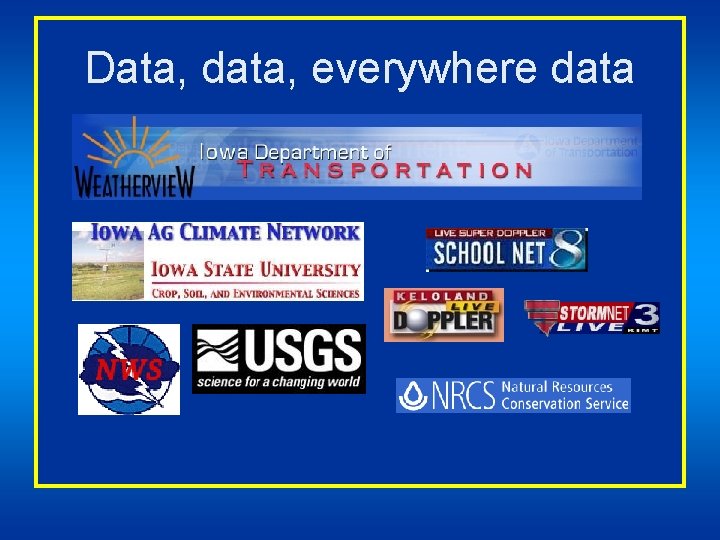
Data, data, everywhere data
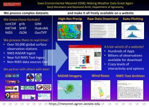
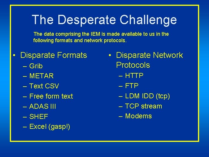
The Desperate Challenge The data comprising the IEM is made available to us in the following formats and network protocols. • Disparate Formats – – – – Grib METAR Text CSV Free form text ADAS III SHEF Excel (gasp!) • Disparate Network Protocols – – – HTTP FTP LDM IDD (tcp) TCP stream Modems
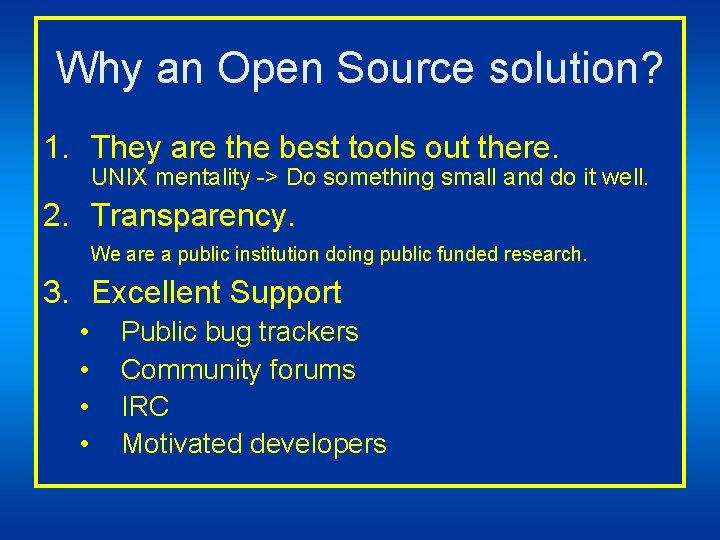
Why an Open Source solution? 1. They are the best tools out there. UNIX mentality -> Do something small and do it well. 2. Transparency. We are a public institution doing public funded research. 3. Excellent Support • • Public bug trackers Community forums IRC Motivated developers
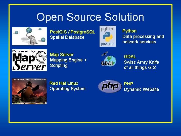
Open Source Solution Post. GIS / Postgre. SQL Spatial Database Python Data processing and network services Map Server Mapping Engine + Scripting GDAL Swiss Army Knife of all things GIS Red Hat Linux Operating System PHP Dynamic Website
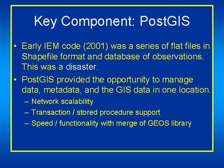
Key Component: Post. GIS • Early IEM code (2001) was a series of flat files in Shapefile format and database of observations. This was a disaster. • Post. GIS provided the opportunity to manage data, metadata, and the GIS data in one location. – Network scalability – Transaction / stored procedure support – Speed / functionality with merge of GEOS library
Look at all of my data!
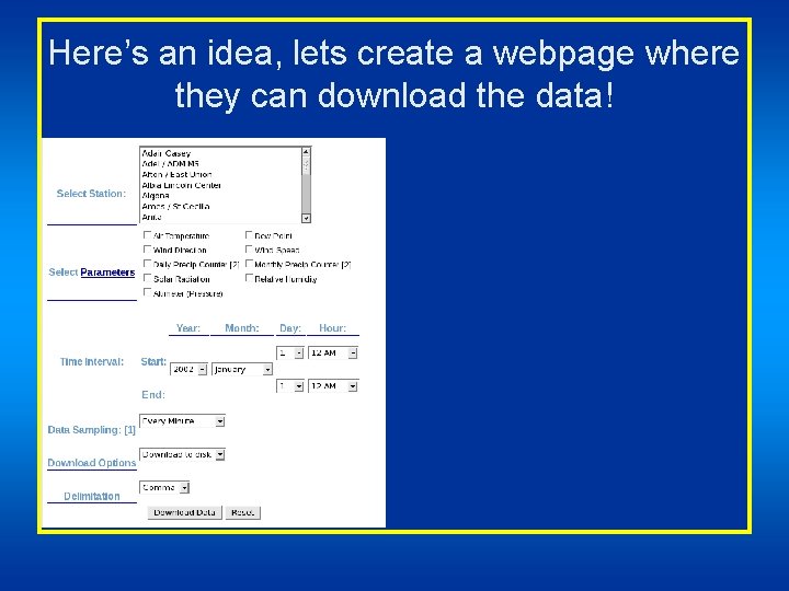
Here’s an idea, lets create a webpage where they can download the data!
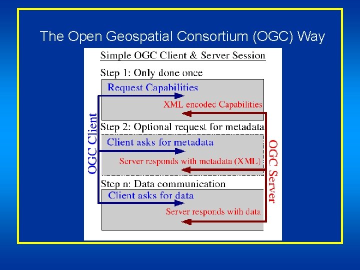
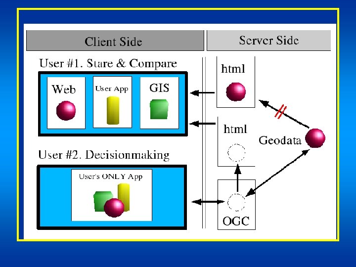
The Open Geospatial Consortium (OGC) Way
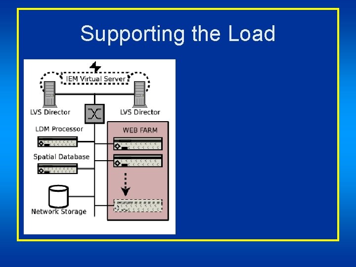
Supporting the Load
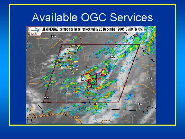
Available OGC Services
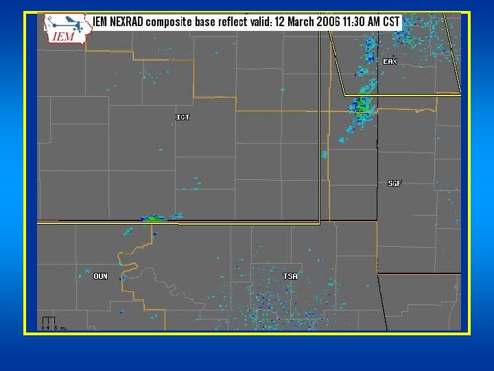
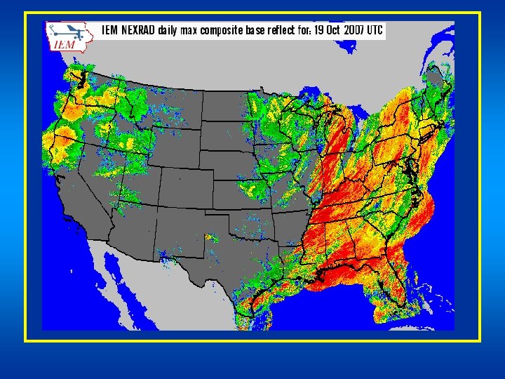
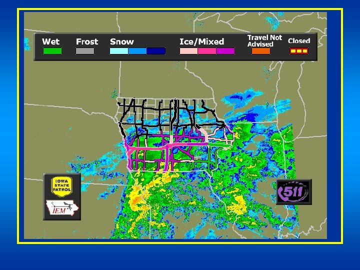
http: //mesonet. agron. iastate. edu/ogc/ • CONUS GOES (Infrared, Visible) • CONUS NEXRAD Base Reflectivity, Storm Total Precip, 1 Hour Precip • NWS issued advisories, watches, and warnings • Iowa Rainfall Estimates • Iowa Road Conditions • IEM Data Services (temp, winds, etc)
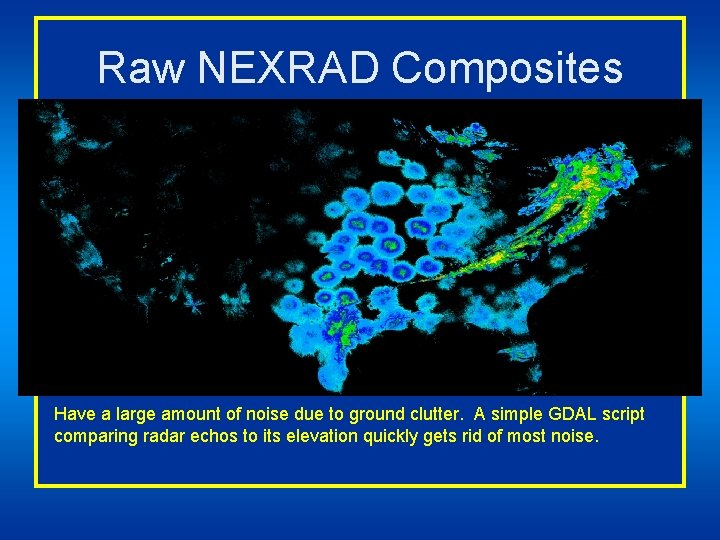
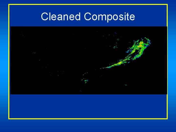
Raw NEXRAD Composites Have a large amount of noise due to ground clutter. A simple GDAL script comparing radar echos to its elevation quickly gets rid of most noise.
Cleaned Composite
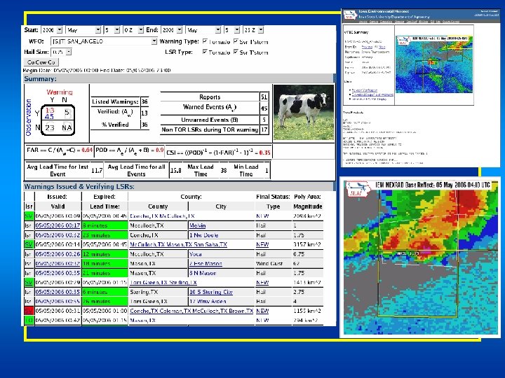
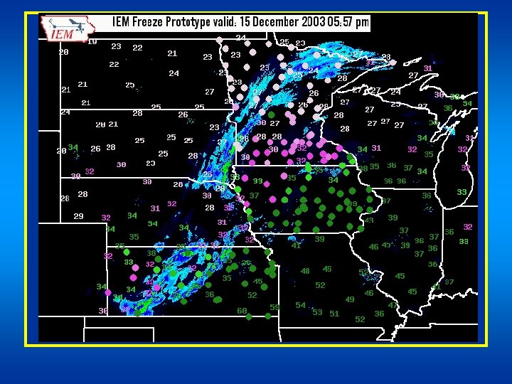
Some IEM developed GIS webapps
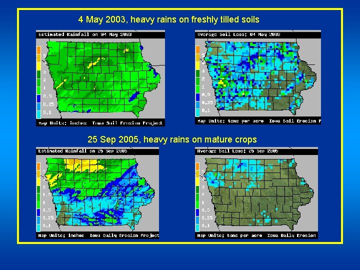
4 May 2003, heavy rains on freshly tilled soils 25 Sep 2005, heavy rains on mature crops
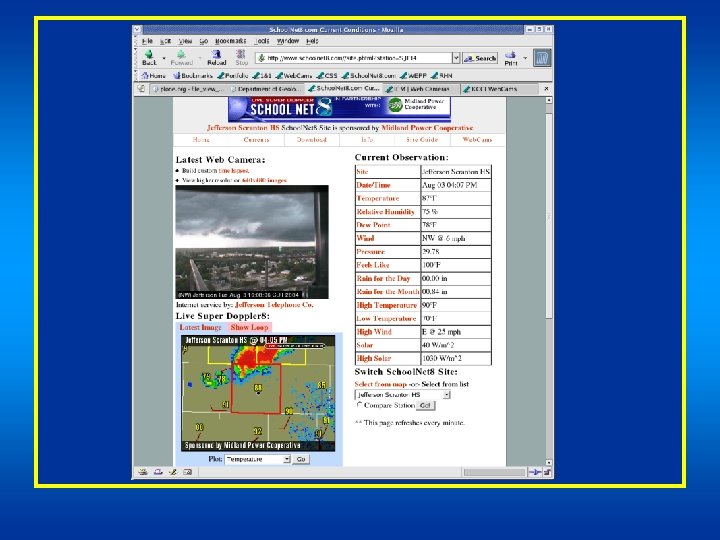
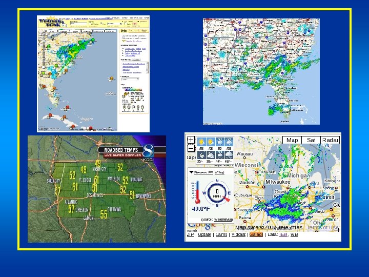
What others have done.
Future Work • Work with end users on getting IEM data into their platform.
Time for Questions? Daryl Herzmann 515. 294. 5978 akrherz@iastate. edu