Groundwater Information Network Groundwater Geoscience Program Ninth Hydrology

- Slides: 18
® Groundwater Information Network Groundwater Geoscience Program Ninth Hydrology DWG Workshop Geneva, Switzerland Eric Boisvert & Boyan Brodaric 18 September 2018
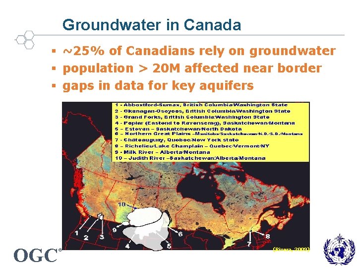
Groundwater in Canada § ~25% of Canadians rely on groundwater § population > 20 M affected near border § gaps in data for key aquifers OGC ® (Rivera, 2009)
GW data in Canada § Distributed, Uncoordinated data Feds (< 10), provs & terrs (<50), municipalities (100 s? ), watershed authorities (100 s? ), academics (? ) § Heterogeneous data Data use, content, structure, systems (databases, sensors) § Variable Volume Use (e. g. extraction, vulnerability): ? Budgets (e. g. regional recharge): 100 s? Reservoirs (e. g. aquifers): 100 s – 1000 s Observations (e. g. wells, monitoring): 1 Ms – 10 Ms – 1 Bs? § Variable Quality Completeness, consistency, methods, positioning OGC ®
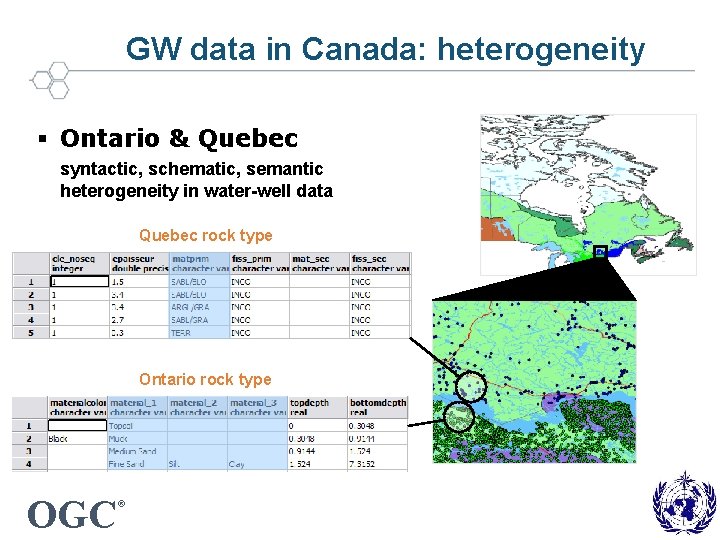
GW data in Canada: heterogeneity § Ontario & Quebec syntactic, schematic, semantic heterogeneity in water-well data Quebec rock type Ontario rock type OGC ®
2003 -2013: Recommendations Findings 1. Data is hard to find & use 2. Data gaps & poor quality Recommendations 1. More online access Consolidate data 2. More data (use, monitoring) Better data quality OGC ®
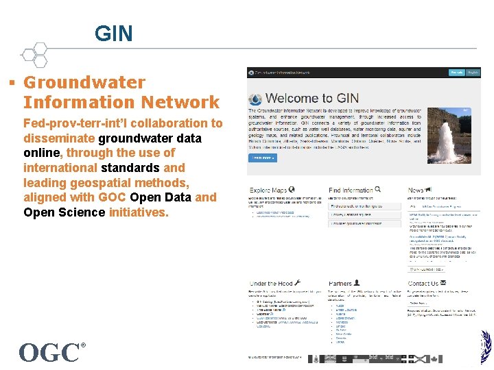
GIN § Groundwater Information Network Fed-prov-terr-int’l collaboration to disseminate groundwater data online, through the use of international standards and leading geospatial methods, aligned with GOC Open Data and Open Science initiatives. OGC ®
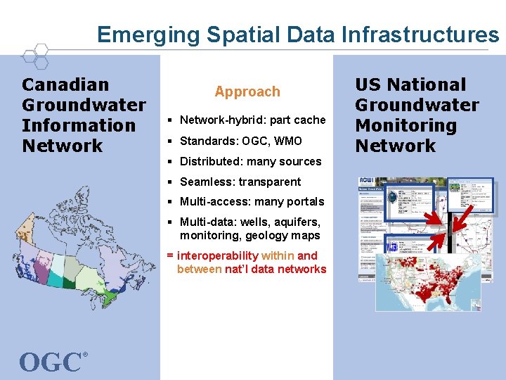
Emerging Spatial Data Infrastructures Canadian Groundwater Information Network Approach § Network-hybrid: part cache § Standards: OGC, WMO § Distributed: many sources § Seamless: transparent § Multi-access: many portals § Multi-data: wells, aquifers, monitoring, geology maps = interoperability within and between nat’l data networks OGC ® US National Groundwater Monitoring Network
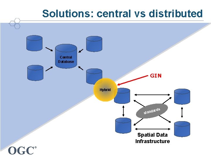
Solutions: central vs distributed Central Database GIN Hybrid s dard stan Spatial Data Infrastructure OGC ®
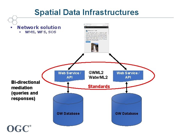
Spatial Data Infrastructures § Network solution § WMS, WFS, SOS Web Service / API Bi-directional mediation (queries and responses) OGC Web Service / API Standards GW Database ® GWML 2 Water. ML 2 GW Database
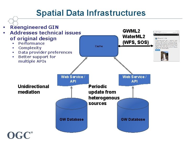
Spatial Data Infrastructures § § Reengineered GIN Addresses technical issues of original design § § Performance Complexity Data provider preferences Better support for multiple APIs Cache Web Service / API Periodic update from heterogenous sources Unidirectional mediation GW Database OGC ® GWML 2 Water. ML 2 (WFS, SOS) GW Database
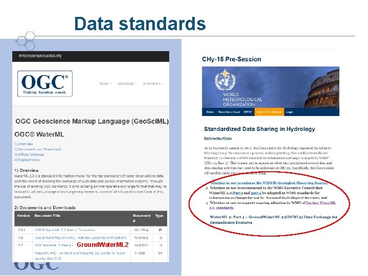
Data standards Ground. Water. ML 2 OGC ®
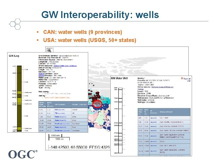
GW Interoperability: wells § CAN: water wells (9 provinces) § USA: water wells (USGS, 50+ states) OGC ®
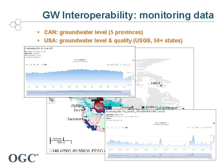
GW Interoperability: monitoring data § CAN: groundwater level (5 provinces) § USA: groundwater level & quality (USGS, 50+ states) OGC ®
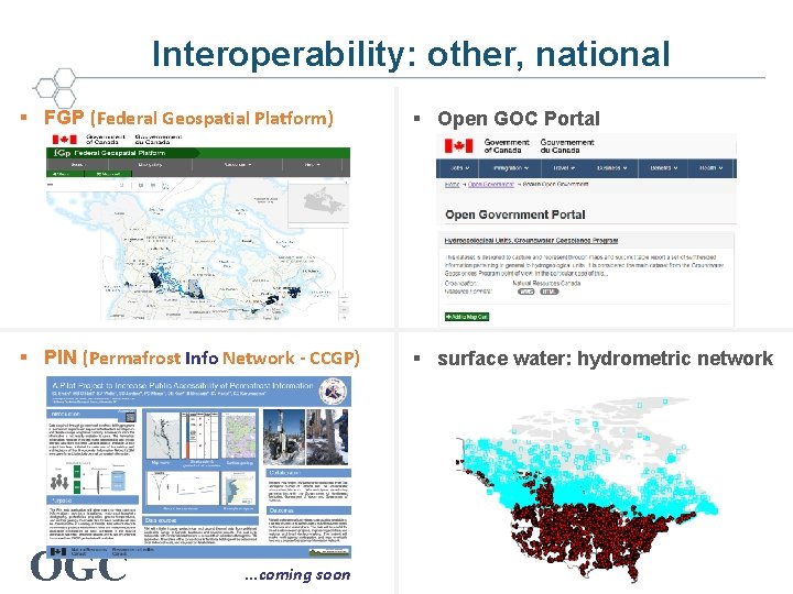
Interoperability: other, national § FGP (Federal Geospatial Platform) § Open GOC Portal § PIN (Permafrost Info Network - CCGP) § surface water: hydrometric network OGC ® …coming soon
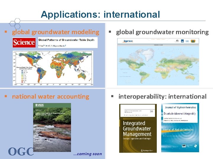
Applications: international § global groundwater modeling § national water accounting OGC ® …coming soon § global groundwater monitoring § interoperability: international
Challenge: full water cycle support “…effective land water management requires a clear understanding of the linkages between ground water and surface water as it applies to any given hydrologic setting. ” Robert M. Hirsch, Chief Hydrologist, USGS From USGS Circular 1139 OGC ®
Final Thoughts § Canadian national Groundwater Info Network is operational and thriving § Spatial Data Infrastructure + Linked Data technologies “Open Data” and “Open Science” foundations § Toward a North American groundwater data network § Best practice candidate for geoscience data management and distribution OGC ®
Thank you – Merci GIN: CAN Groundwater Information Network Groundwater Geoscience Program § http: //gw-info. net GIN Team Eric Boisvert Boyan Brodaric (Lead) Héryk Julien Francois Létourneau Charles Logan Alex Smirnoff OGC ® Notable Contributors Yves Michaud Christine Rivard Alfonso Rivera Hazen Russell David Sharpe GGP project leaders (past, present)