Digital Elevation Models And Relief Models DEM 1








- Slides: 27
Digital Elevation Models And Relief Models DEM 1
Part 1: The Underlying Elevation Data DEM 2
Digital Elevation Models are: • Elevation: Data files that contain the elevation of the terrain over a specified area, usually at a fixed grid interval • Coordinate System: The intervals between each of the grid points will always be referenced to some geographical coordinate system. (e. g. latitude-longitude, UTM, SP). • Scale: The closer together the grid points are located, the more detailed the information will be in the file. The details of the peaks and valleys in the terrain will be better modeled with a small grid spacing than when the grid intervals are very large. Elevations other than at the specific grid point locations are not contained in the file. As a result peak points and valley points not coincident with the grid will not be recorded in the file. source: http: //www. softwright. com/dem. html DEM 3
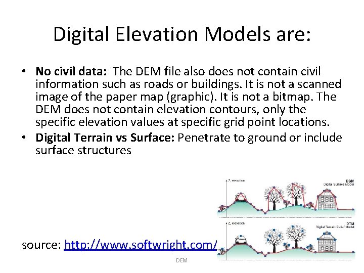
Digital Elevation Models are: • No civil data: The DEM file also does not contain civil information such as roads or buildings. It is not a scanned image of the paper map (graphic). It is not a bitmap. The DEM does not contain elevation contours, only the specific elevation values at specific grid point locations. • Digital Terrain vs Surface: Penetrate to ground or include surface structures source: http: //www. softwright. com/dem. html DEM 4
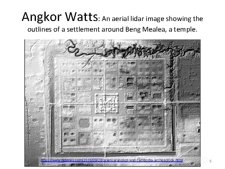
Angkor Watts: An aerial lidar image showing the outlines of a settlement around Beng Mealea, a temple. https: //www. nytimes. com/2016/09/20/science/angkor-wat-cambodia-archeaology. html DEM 5
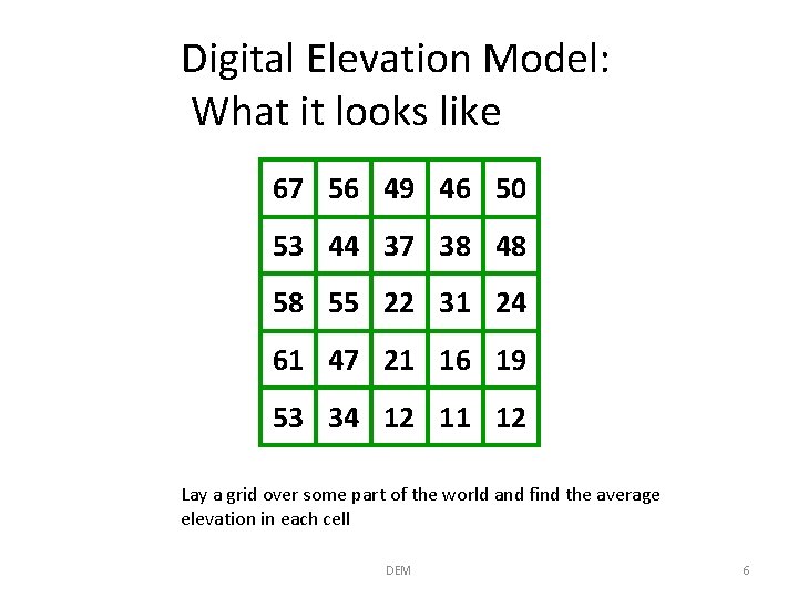
Digital Elevation Model: What it looks like 67 56 49 46 50 53 44 37 38 48 58 55 22 31 24 61 47 21 16 19 53 34 12 11 12 Lay a grid over some part of the world and find the average elevation in each cell DEM 6
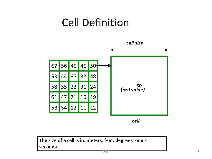
Cell Definition cell size 67 56 49 46 50 53 44 37 38 48 50 (cell value) 58 55 22 31 24 61 47 21 16 19 53 34 12 11 12 cell The size of a cell is in: meters, feet, degrees, or arc seconds DEM 7
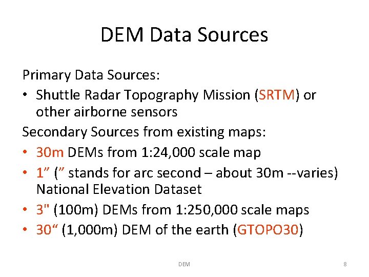
DEM Data Sources Primary Data Sources: • Shuttle Radar Topography Mission (SRTM) or other airborne sensors Secondary Sources from existing maps: • 30 m DEMs from 1: 24, 000 scale map • 1” (” stands for arc second – about 30 m --varies) National Elevation Dataset • 3" (100 m) DEMs from 1: 250, 000 scale maps • 30“ (1, 000 m) DEM of the earth (GTOPO 30) DEM 8
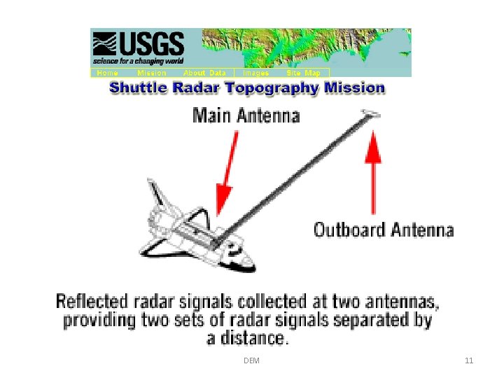
Primary Data Source Generation: Space Shuttle DEM 9
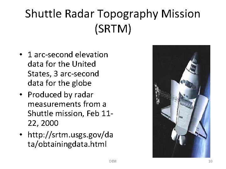
Shuttle Radar Topography Mission (SRTM) • 1 arc-second elevation data for the United States, 3 arc-second data for the globe • Produced by radar measurements from a Shuttle mission, Feb 1122, 2000 • http: //srtm. usgs. gov/da ta/obtainingdata. html DEM 10
DEM 11
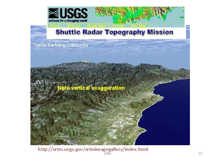
Santa Barbara, California Note vertical exaggeration http: //srtm. usgs. gov/srtmimagegallery/index. html DEM 12
San Andreas Fault, California DEM http: //srtm. usgs. gov/srtmimagegallery/index. html 13
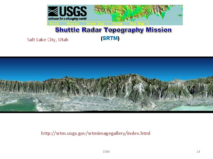
Salt Lake City, Utah (SRTM) http: //srtm. usgs. gov/srtmimagegallery/index. html DEM 14
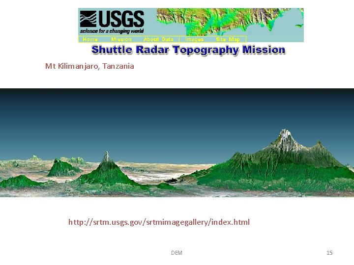
Mt Kilimanjaro, Tanzania http: //srtm. usgs. gov/srtmimagegallery/index. html DEM 15
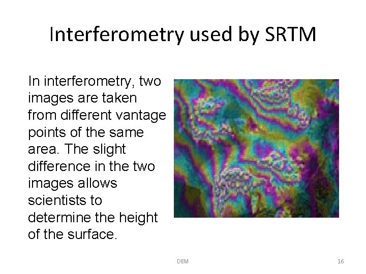
Interferometry used by SRTM In interferometry, two images are taken from different vantage points of the same area. The slight difference in the two images allows scientists to determine the height of the surface. DEM 16
Secondary Data Source Generation: Using USGS Topographic Maps DEM 17
200 Meter Mesh (Universal Transverse Mercator Coordinates) 1 km DEM 18
100 Meter Mesh (UTM Coordinates) 100 m 1 km DEM 19
30 Meter Mesh Standard for 1: 24, 000 Scale Maps DEM 20
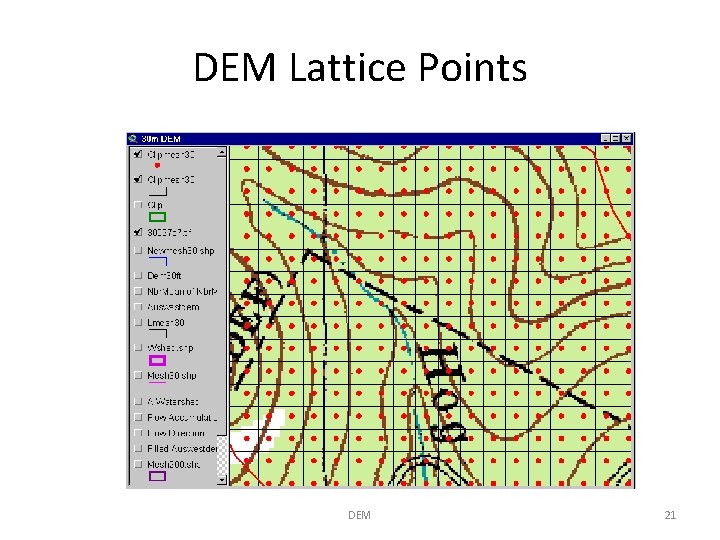
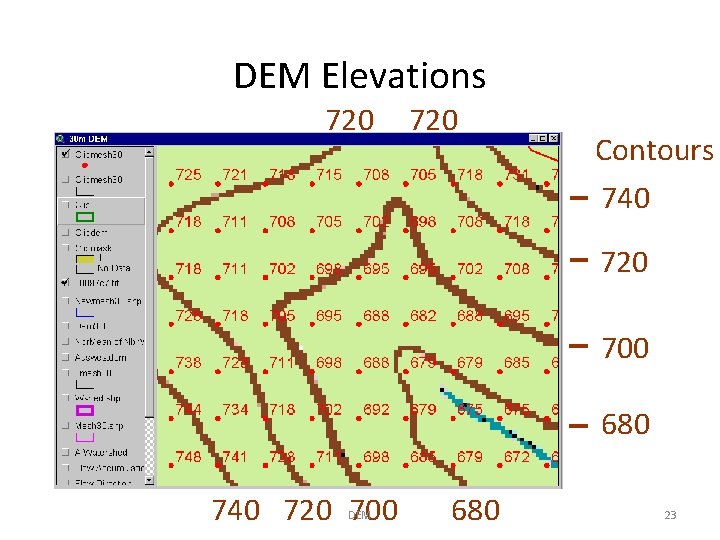
DEM Lattice Points DEM 21
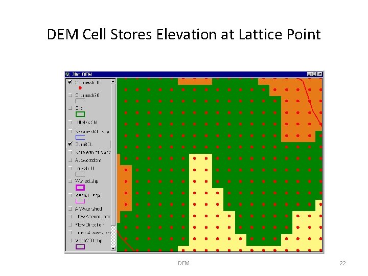
DEM Cell Stores Elevation at Lattice Point DEM 22
DEM Elevations 720 Contours 740 720 700 680 740 720 700 DEM 680 23
Comparison 30 m Cell Size Note difference DEM in detail 100 m 24
30 m DEMs • Best resolution standardized data source available for the US • Coverage of the country is incomplete • Data by 7. 5’ map sheets in UTM projection • Link for US http: //edcwww. cr. usgs. gov/Webglis/glisbin/guide. pl/glis/hyper/guide/usgs_dem DEM 25
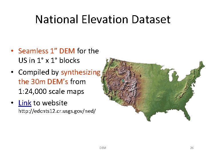
National Elevation Dataset • Seamless 1” DEM for the US in 1° x 1° blocks • Compiled by synthesizing the 30 m DEM’s from 1: 24, 000 scale maps • Link to website http: //edcnts 12. cr. usgs. gov/ned/ DEM 26
Part 2: Representation of elevation data DEM 27