What Makes A Good Map TODALS Title n

- Slides: 13
What Makes A Good Map?
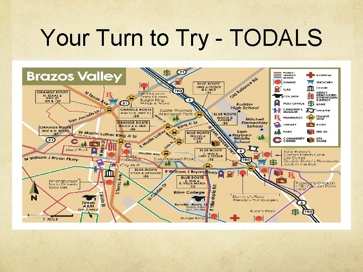
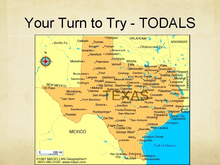
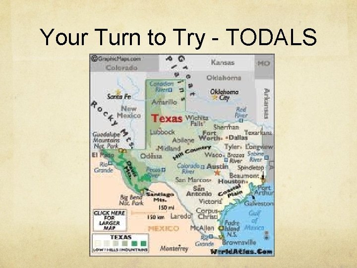
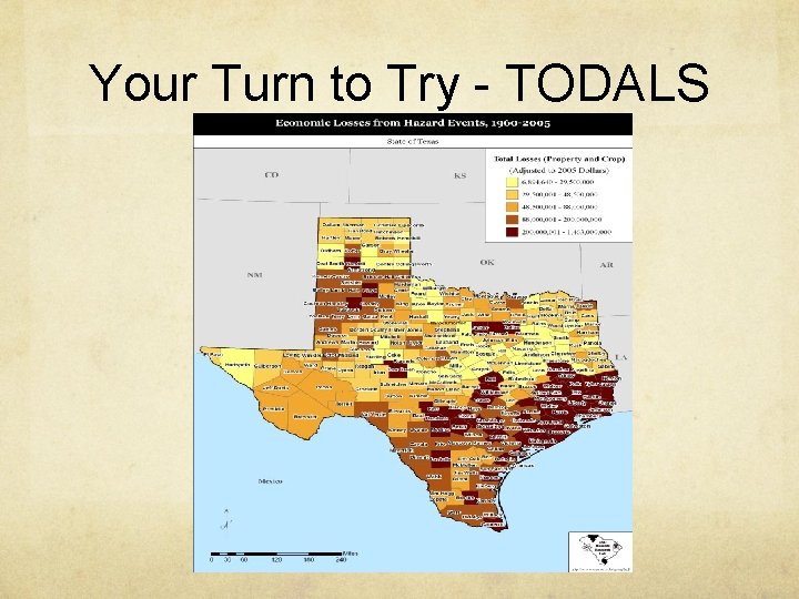
TODALS Title n Orientation n Date n Author n Legend (Key) n Scale n
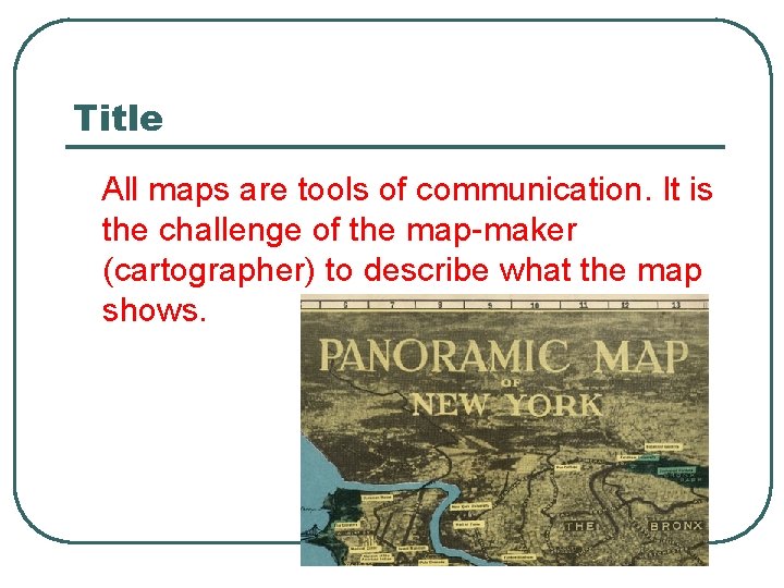
Title All maps are tools of communication. It is the challenge of the map-maker (cartographer) to describe what the map shows.
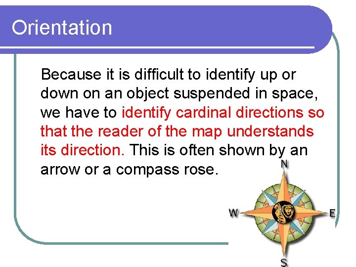
Orientation Because it is difficult to identify up or down on an object suspended in space, we have to identify cardinal directions so that the reader of the map understands its direction. This is often shown by an arrow or a compass rose.
Date This identifies when the map was made, or the date of the data used on the map. This helps the map-reader have complete information when reading the information on the map.
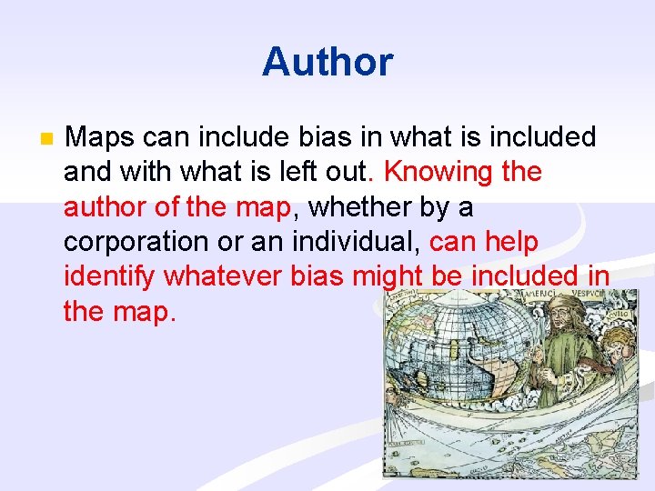
Author n Maps can include bias in what is included and with what is left out. Knowing the author of the map, whether by a corporation or an individual, can help identify whatever bias might be included in the map.
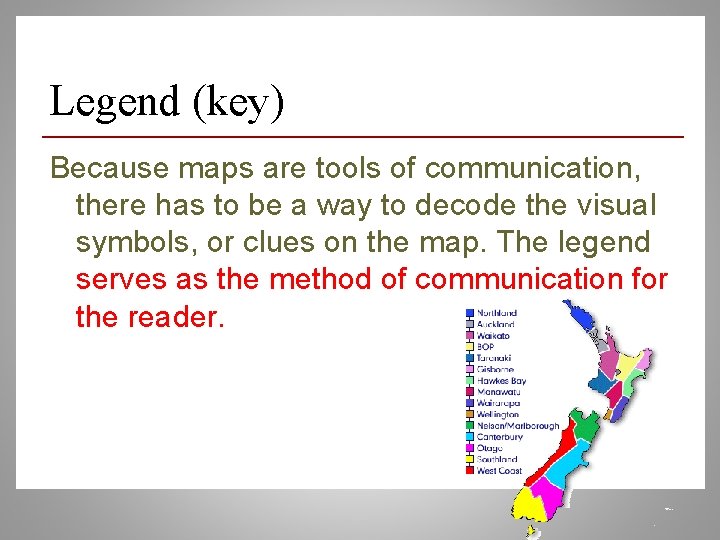
Legend (key) Because maps are tools of communication, there has to be a way to decode the visual symbols, or clues on the map. The legend serves as the method of communication for the reader.
Scale l Maps can operate at local, regional or more global scales. Defining the size of the objects shown helps to justify the relationship of map distances to actual distances on the Earth’s surface.
Your Turn to Try - TODALS
Your Turn to Try - TODALS
Your Turn to Try - TODALS
Your Turn to Try - TODALS
What rules might there be for mapping?