Virginia Geology Physiographic provinces There are five physiographic


- Slides: 12
Virginia Geology
Physiographic provinces • There are five physiographic provinces in Virginia. Coastal Plain, Piedmont, Blue Ridge, Valley and Ridge, and the Appalachian Plateau. • Each physiographic province has its own characteristics.
Coastal Plain Closest to the beach western border is the fault line eastern border is the Atlantic Ocean flat low-lying area with swamps and marshes • made mostly of sedimentary rock from the erosion of the Appalachian Mountains • Most fossils are of marine organisms which means that large areas of Virginia were covered in seawater • •
Piedmont largest province fault line is to the east Blue Ridge is to the west made of igneous and metamorphic rock. • Fall line – a narrow zone of small waterfalls and rapids • • – found as the border between the coastal plain and the piedmont provinces
Blue Ridge • includes the Blue Ridge Mountains • folded and faulted mountains that are thickly forested • highest point in Virginia is Mount Rogers • Made of igneous rocks • Fossils can be found here of marine animals because these rocks were once under water
Valley and Ridge • includes most karst topography • made of limestone • parallel ridges and valleys • used mostly for farming • Fossils from the Paleozoic, Mesozoic and Cenozoic eras are found here
Appalachian Plateau • most mining of coal is done here • relatively flat but can be hilly and rugged
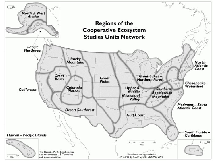
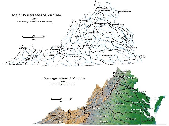
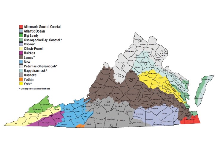
Virginia Watersheds • A watershed, or drainage basin, is the land area which contributes water to a stream, lake, river, wetland, or groundwater. • Managing water resources on a watershed basis makes good sense - environmentally, financially, and socially. • Watersheds are defined by natural hydrology, not political boundaries, and represent the most logical basis for managing water resources.
Watersheds of Virginia • We live in the Chesapeake Bay watershed. • Virginia is also in the Mississippi watershed which ultimately flows into the Gulf of Mexico. • Some water flows into the Atlantic Ocean as it goes into North Carolina.