South Carolina Geographic Regions Third Grade Six Geographic


- Slides: 16

South Carolina: Geographic Regions Third Grade

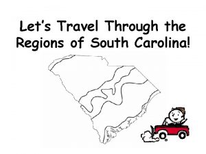
Six Geographic Regions �Our state is divided into six different geographic regions: �Blue Ridge �Piedmont �Sandhills �Inner Coastal Plain �Outer Coastal Plain �Coastal Zone

The Blue Ridge Region � Physical Features � Blue Ridge Mountains, valleys, forests, Chattooga River, streams, lakes and waterfalls. � Part of the Appalachian Mountains chain that stretches all the way to Canada! � Climate � Highest precipitation is the state: between 70 – 80 inches of snow and rain each year � Average winter temperatures: 40 s � Average summer temperatures: 70 s � Cities/ Towns � Walhalla, Pickens, Westminster and Landrum � Natural Resources � Granite, peach trees, timber, water, � Animals � Fish, deer, and wild turkeys

The Blue Ridge Region Table Rock State Park Sassafras Mountain Peak Lake Jocassee

The Piedmont Region �Physical Features � Largest region in the state � Plateau, hills, Savannah River, Kings Mountain �Climate � Most precipitation is rain in spring and summer, and some snow winter. � Average winter temperature: lower 40 s � Average summer temperature: 80 s �Cities/ Towns � Anderson, Greenville, Spartanburg, Rock Hill, Greenwood �Natural Resources � Peach trees, timber, water �Animals � Fish, wild turkeys, cattle, dairy cows and chickens

The Piedmont Region Greenville, South Carolina Peach Trees in Bloom Kings Mountain

The Sandhills Region � Physical Features � Sandy hills, rivers, lakes, pines, next to the fall line � Long, long ago, the coast used to come all the way up to the middle of the state! � Fall line: a drop in elevation that creates rapids in the rivers. � Climate � Rain mostly in spring and summer, a few inches of snowfall occur in winter. � Cities/ Towns � Columbia � Natural Resources � Sand, peaches, timber, cotton, soybeans � Animals � Fish, turkeys, hogs

The Sandhills Region State House, Columbia, SC Fall Line Zone

The Inner Coastal Plain Region � Physical Features � Plains, rolling hills, rivers, swamps, lakes � Climate � Rain throughout the rain � Average spring and summer temperatures are lower 80 s to 90 s � Cities/ Towns � Orangeburg, Sumter, Florence, North Augusta � Natural Resources � Timber, tobacco, cotton, strawberries, cantaloupes, watermelons, soybeans, cucumbers � Animals � Fish, cattle, dairy cows, hogs, chicken

The Inner Coastal Plain Region Soybean Field Lake Moultrie

The Outer Coastal Plain Region �Physical Features �Flat land, rivers, swamps, lakes, Francis Marion National Forest �Climate �Rain throughout the year �Average spring and summer temperatures are lower 80 s to 90 s �Cities �Summerville �Natural Resources �Timber, tobacco, cotton, soybeans �Animals �Fish, cattle, dairy cows, hogs and chicken

The Outer Coastal Plain Region Congaree National Park Cotton Fields

Coastal Zone Region �Physical Features �Beaches, salt marshes, Sea Islands , harbors, barrier islands �Barrier Island: protect shorelines from erosion that naturally occurs because of storms, like hurricanes and the tides. �Tourism is huge! Many people come from all over! �Climates �Rain throughout the year �Average spring and summer temperatures are lower 80 s and 90 s �Cities �North Charleston, Beaufort, Mt. Pleasant, Hilton Head Island, North Myrtle Beach, Myrtle Beach �Natural Resources �Water, limestone, clay, sand, gravel, rivers, pines, rice �Animals �Shellfish, fish

Coastal Zone Region Myrtle Beach, SC Hilton Head Island

Other “Regions” to Know �The Fall Line defines our Upcountry (Upstate) and Lowcountry. �The area north is the Upcountry �The are south is the Lowcountry �Sometimes the middle part of the state is referred to as the “Midlands. ”

What is Around Us? �Our state is bordered by two other states. �We are bordered by North Carolina and Georgia. �Our coastline borders the Atlantic Ocean.
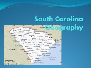
 South carolina geographic regions
 6 regions of south carolina
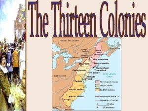
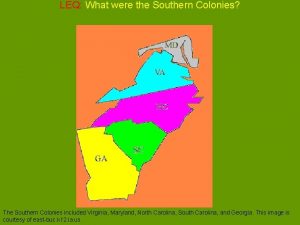
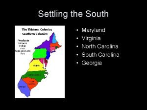
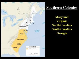
 Georgia, south carolina, north carolina, virginia, maryland
 What is this image
 Maryland virginia north carolina south carolina and georgia
 Virginia, maryland, north carolina, south carolina, georgia
 South carolina regions
 South carolina landforms
 South carolina regions
 Regions of arkansas
 Six geographic regions of arkansas
 Ga geographic regions
 The five regions of alabama
 Georgia's 5 geographic regions
 Geographic regions of georgia
 Which of georgia's geographic regions is the smallest?
 4 natural regions of texas
