San Antonio Flood of 1 3 July 2002
- Slides: 7
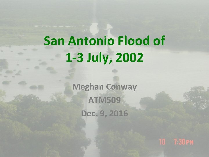
San Antonio Flood of 1 -3 July, 2002 Meghan Conway ATM 509 Dec. 9, 2016
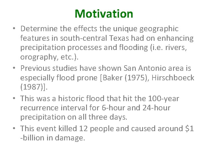
Motivation • Determine the effects the unique geographic features in south-central Texas had on enhancing precipitation processes and flooding (i. e. rivers, orography, etc. ). • Previous studies have shown San Antonio area is especially flood prone [Baker (1975), Hirschboeck (1987)]. • This was a historic flood that hit the 100 -year recurrence interval for 6 -hour and 24 -hour precipitation on all three days. • This event killed 12 people and caused around $1 -billion in damage.
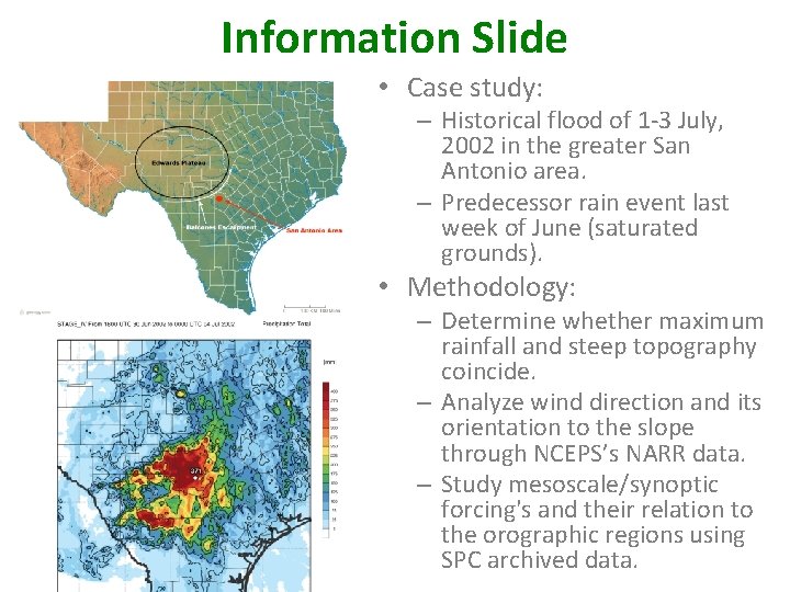
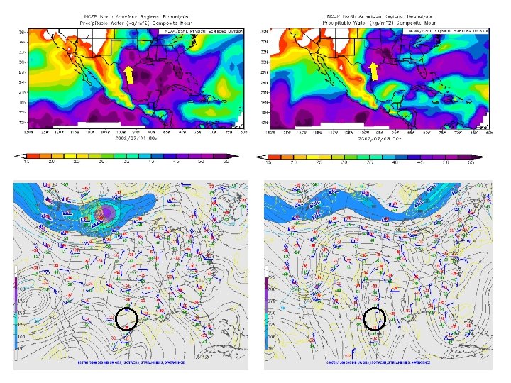
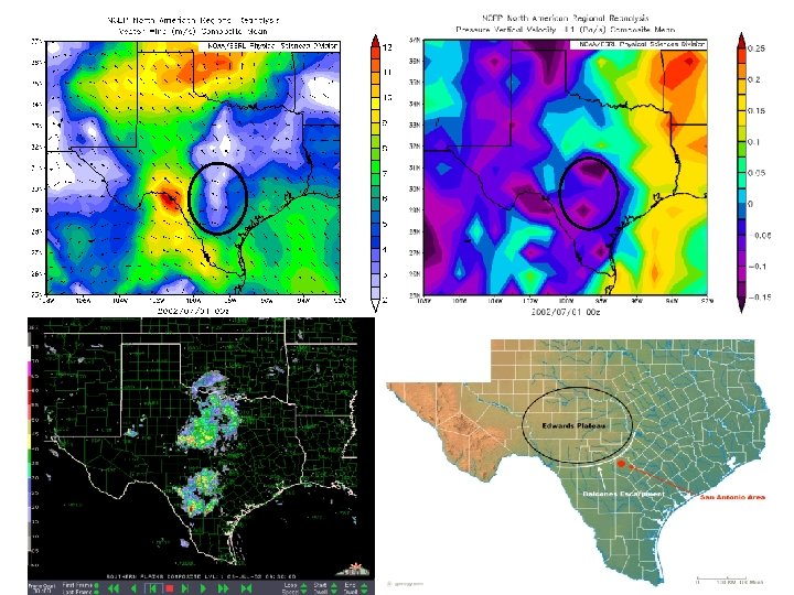
Information Slide • Case study: – Historical flood of 1 -3 July, 2002 in the greater San Antonio area. – Predecessor rain event last week of June (saturated grounds). • Methodology: – Determine whether maximum rainfall and steep topography coincide. – Analyze wind direction and its orientation to the slope through NCEPS’s NARR data. – Study mesoscale/synoptic forcing's and their relation to the orographic regions using SPC archived data.
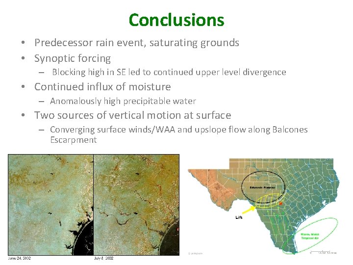
Conclusions • Predecessor rain event, saturating grounds • Synoptic forcing – Blocking high in SE led to continued upper level divergence • Continued influx of moisture – Anomalously high precipitable water • Two sources of vertical motion at surface – Converging surface winds/WAA and upslope flow along Balcones Escarpment Lift
References • • • Baker, V. R. , 1975: Flood hazards along the Balcones Escarpment in Central Texas--alternative approaches to their recognition, mapping, and management. The University of Texas at Austin, Bureau of Economic Geology Geological Circular 75 -5, 22 p. Hirschboeck, K. K. , 1987: Catastrophic flooding and atmospheric circulation anomalies. Catastrophic Flooding, L. Mayer and D. Nash, Eds. , Binghamton Symposia in Geomorphology: International Series, No. 18, Elsevier, 23– 56. Kalnay, E. and Coauthors, 1996: The NCEP/NCAR Reanalysis 40 -year Project. Bull. Amer. Meteor. Soc. , 77, 437 -471. Slade, R. M. and J. Patton, 2002: Major and Catastrophic Storms and Floods in Texas. U. S. Geological Survey. 11/15/2016. [Available online at: http: //pubs. usgs. gov/of/2003/ofr 03193/cd_files/USGS_Storms/2001 to 1975. htm] Stevenson, S. and R. Schumacher, 2014: A 10 -Year Survey of Extreme Rainfall Events in the Central and Eastern United States Using Gridded Multisensor Precipitation Analyses. Mon. Wea. Rev. , 142, 3147– 3162, doi: 10. 1175/MWR-D-13 -00345. 1. Storm Prediction Center, 2009: Surface and Upper Air Archived Maps. NOAA/NWS. 11/15/2016. [Available online at: http: //www. spc. noaa. gov/obswx/maps/] Rolph, G. D. (2016). Real-time Environmental Applications and Display System (READY) Website (http: //www. ready. noaa. gov). NOAA Air Resources Laboratory, College Park, MD. http: //www. beeville. net/Flooding/2002%20 July/ (Image 1) http: //earthobservatory. nasa. gov/Natural. Hazards/view. php? id=9831 (Image 2)