Marie Venner Venner Consulting AASHTO Maintenance Meeting July

- Slides: 25
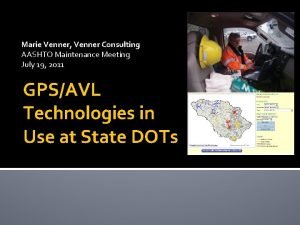
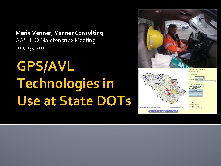
Marie Venner, Venner Consulting AASHTO Maintenance Meeting July 19, 2011 GPS/AVL Technologies in Use at State DOTs
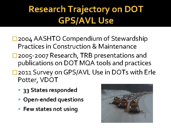
Research Trajectory on DOT GPS/AVL Use � 2004 AASHTO Compendium of Stewardship Practices in Construction & Maintenance � 2005 -2007 Research, TRB presentations and publications on DOT MQA tools and practices � 2011 Survey on GPS/AVL Use in DOTs with Erle Potter, VDOT 33 States responded Open-ended questions Few states not using
DOTs’ Most Popular Hardware �IWAPI Weather Mgmt Data Collection - CO, WY, VA, ID (4) �Inter. Fleet - OH, MO, KY, (3) �Location Technologies - IA, WA (2) �Force/Precise - WA, WY (2) �Ameri. Trak’s AT 500, AT 300 - NY, MN (2) �Network Fleet - VA, NM (2)
Less Common Hardware � Trimble/University of Minnesota/RFID Complete (AK) � Component Tech, Cirus, Network Fleet (DE) � Cal. Amps – LMU-5000 (MD) � LMU-700 for Contract Equipment (MD) � Intelligent Devices, Inc. (NE) � Compass Com (WY) � Pyramid Communications (VA) � XIRGO Technologies model XT-2000 G Intelli. Port (TN) � Fleetpoint (MO) � Geo. Decisions division (PA) � Web. Tech, Product Link, JDLink (KY)
GPS/AVL Applications in Use � MDSS (CO, ID, KS, WY) (KS, NE - Meridian Env. Tech. ) � Interfleet (MO, OH, KY) � In-house development underway (IA, WA) � RFID (AK) � Application supporting MDSS (NY) � Fleet tracking (IL - unspecified) � AVL – Acadian Mobile Monitoring (LA) � Telenav (MD) � Ameri. Trak’s AT 500 telematics system (MN) � Wex. Smart (MT) � Vision Link, JDLink (KY)
GPS/AVL Applications in Use Continued �Skypatrol (NC) �Location Technologies (ND) �Custom software by Intelligent Devices (NE) �Networkfleet (NM) �GATIR-Geospatial Analysis of Threats and Incident Reports (PA) �LOCATE/IM – VANUS Group of Gannett. Fleming (TN)
Data DOTs Are Collecting and Finding Useful from AVL/GPS Systems � Operational/snow fighting efficiencies - speed, materials types and quantities, application rates, temperatures (DE, KS, KY, MD, MN, ND, NY, WA) � Vehicle location and route improvements/efficiencies (IL, KS, KY, NM, NY, WY) � Tracking units in extremely remote areas (NC, NM) � Road conditions over the state, near real time (WA) � Locations of incarcerated crews (MO) � History/daily achievements of sweeping crews (MO) � Contractor vehicle usage while “on the clock” (VA) � Photos, material used, application rate (NE) � Management data through Force/Precise system has been helpful (WY)
Data DOTs Are Collecting and Finding Useful from AVL/GPS Systems (cont. ) � Location and vehicle bed load weight (AK, KY) � Mapped areas of noxious weed control (CO) � Forecasts to make informed decisions regarding striping, chip sealing, paving, and fog coating (CO) � Emergency patrol and snow and ice truck tracking (IL) � Maintenance Decision Support System (KS) � Motorist Assistance Patrol Unit applications (LA) � HELP Truck – Courtesy Patrol AVL (NM) � Windows Operating System, internet explorer (ND) � Location, track and trace, engine parameter data (VA)
Data Collected, Used, DOTs Considered Purposes of AVL/GPS Systems, Continued… � Current, site-specific forecasts, and snow & ice control recommendations to snow plows � Pavement and air temperature, weather radar, forecasts, and treatment recommendations to plow operator � Material and rate – two-way monitoring, plus weather radars, forecasts, and treatment recommendations to plow operator � Operator can enter current road and weather conditions to MDSS � Camera captures images for display in MDSS. Camera images can be viewed on touch-screen � Pavement temperatures, plow up/down, auger status, spinner rate, etc. � Customized operations summary reports with info for each plow truck (material usage and mileage totals)
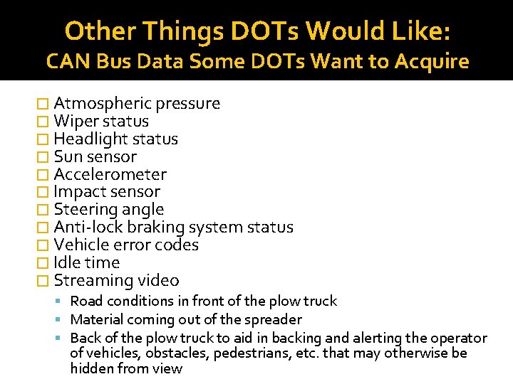
Other Things DOTs Would Like: CAN Bus Data Some DOTs Want to Acquire � Atmospheric pressure � Wiper status � Headlight status � Sun sensor � Accelerometer � Impact sensor � Steering angle � Anti-lock braking system status � Vehicle error codes � Idle time � Streaming video Road conditions in front of the plow truck Material coming out of the spreader Back of the plow truck to aid in backing and alerting the operator of vehicles, obstacles, pedestrians, etc. that may otherwise be hidden from view
Who is Using the Data? � Incident Command/Transportation Management Center Operations (LA, PA, TN, VA, WY) � DOT as a whole (MD, NE, KY), management & supervisors (IL, NY), three highway divisions (NC) � Fleet Equipment Bureau staff (MT, NC, PA) � Maintenance Managers, Engineers, Crew Supervisors, Sweeping Crew Managers (MO, VA) � Snow & Ice Operations Managers (OH) � Dispatch (IL, NM) � Meridian Environmental Technology, MDSS vendor (KS) � Director of Asset Management (NC) � Maintenance crews using MDSS and the maintenance crew using the Force/Precise system. (WY) � One District viewing data for material usage on a pilot and our MDSS Pilot Program (ID)
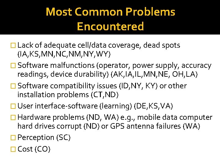
Most Common Problems Encountered � Lack of adequate cell/data coverage, dead spots (IA, KS, MN, NC, NM, NY, WY) � Software malfunctions (operator, power supply, accuracy readings, device durability) (AK, IA, IL, MN, NE, OH, LA) � Software compatibility issues (ID, NY, KY) or other installation problems (CT, ND) � User interface-software (learning) (DE, KS, VA) � Hardware problems (ND, WA) e. g. , mobile data computer hard drives corrupt (ND) or GPS antenna failures (WA) � Perception (SC) � Cost (CO)
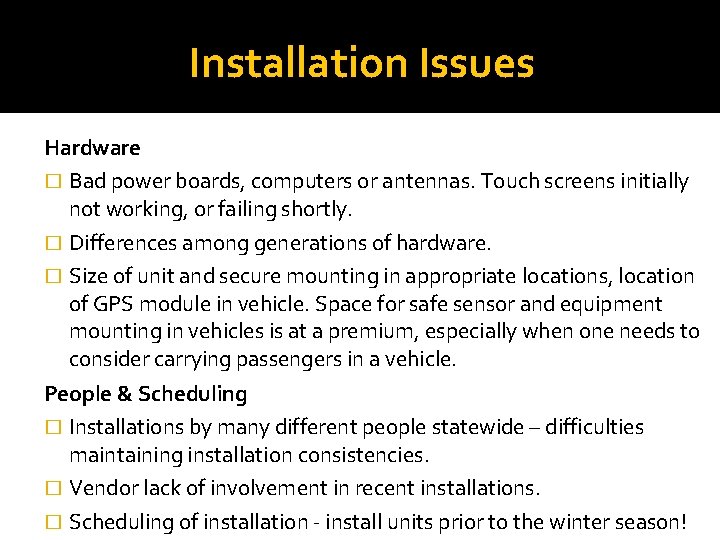
Installation Issues Hardware � Bad power boards, computers or antennas. Touch screens initially not working, or failing shortly. � Differences among generations of hardware. � Size of unit and secure mounting in appropriate locations, location of GPS module in vehicle. Space for safe sensor and equipment mounting in vehicles is at a premium, especially when one needs to consider carrying passengers in a vehicle. People & Scheduling � Installations by many different people statewide – difficulties maintaining installation consistencies. � Vendor lack of involvement in recent installations. � Scheduling of installation - install units prior to the winter season!
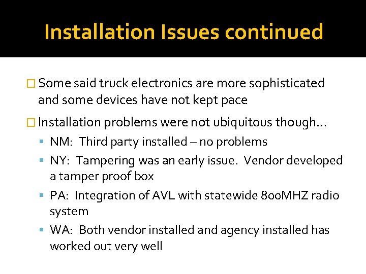
Installation Issues continued � Some said truck electronics are more sophisticated and some devices have not kept pace � Installation problems were not ubiquitous though… NM: Third party installed – no problems NY: Tampering was an early issue. Vendor developed a tamper proof box PA: Integration of AVL with statewide 800 MHZ radio system WA: Both vendor installed and agency installed has worked out very well
Sensor Compatibility Issues: DOTs Would Like Plug & Play � Would like all controls for sanders, liquid distributors, and plows to be plug and play rather than custom fit for each application � Very few ambient/road temperature sensors to choose from � Spreader controller integration has been biggest challenge � System bought as an aftermarket package � Age of unit: with 1996 and new cars and light trucks (TN); e. g. , No compatibility issues except for older controller units (Dickeyjohn ICS 2000). Relocated units to trucks with Dickeyjohn Control Point controller units (NY) � Vendor coordination or support Unwilling to invest much time to assist in solving problems Sensor compatibility is an area where WSDOT had to work closely with vendors to provide the right sensors for a given truck. More standardization would be helpful!
Compatibility Needs and Advice, Standardizing the Data Flow � Some DOTs noted that compatibility with other GPS/AVL systems is not an issue, but rather: The key is standardizing the data flow to the system. Requirements are highly variable within programs of DOT. Careful thought needs to be given to this and how to integrate the data into various applications. Configuring and reading the data from the spreader controllers is an issue. � Standard protocols should be developed and followed so that different devices will plug and play. This is a struggle, similar to the RWIS concerns of the late 1980 s/early 1990 s. Some challenges with older hardware connections into newer devices, i. e. , serial connections, etc.
Retrieving Data from GPS/AVL/Telematics Systems � Many have had few/no problems (IL, MN, NE, NY, PA, TN) � Software, hardware, and communication issues… Issues using the air cards to transmit the data (IA) Latency and refresh issues – likely software (NM) Unable to access software due to (KY, now resolved) � Generating useful reports Still working on getting all the data needed from the material spreader and sorting the data out to make consistent reliable reports of the data (MN) Would prefer to be able to customize our own reports. Many reports the DOT requested came at an additional cost (MO) � WSDOT now requires the raw data from the truck or they will not use that AVL vendor � WYDOT says some are difficult, some are easy. Difficulties exist with internal networks, not just with vendor stored/provided information
Solutions Under Consideration by State DOTs �More differential GPS �Increase GPS/AVL capability to expand MDSS program statewide �Define long-term business requirements �Post processing of data from material spreader �Reduce salt usage & utilize contract trucks �Provide preventative maintenance schedules and fuel utilization �More research, via AASHTO or NCHRP
Hardware Solutions Under Consideration New sensors Hard wiring the interface cable to the hydraulic controller boxes or changing the connection type on the cable Adding multi-sensor input from vehicle peripheral equipment such as snow plow blade position, spreaders, weather and road condition sensors
Software-Related Solutions DOTs Are Considering �Choosing certain systems/versions and not others Re-evaluating the current contract and possibly putting out a new RFP Using systems with which they haven’t encountered problems or that plug into new spreader controls Either a newer release of the software or new sensors
Needs Identified by DOTs � One standard platform that works with all transportation vehicles � Creating standard specifications to ensure collected data is consistent; e. g. , data output from on-board systems becomes the property of the using agency, can be shared and exportable to agency GIS systems � Inventory control � Cost benefit analysis/application types � Compatibility of instrumentation � Automated fuel system – including vehicle ID, employee ID, and vehicle/equipment meter reading � General research; e. g. , impact of solar flares on GPS communication
Operator Interface Needs/Solutions � Speech recognition response back from driver so driver does not have to take as much attention off driving � Utilize tablet PCs or smart phones as the operator interface. Cable connects to OBDII and other monitored/controlled systems, single wire CAN bus, or, even better, in-vehicle wireless interface to these items � All other paperwork and system access/interface the vehicle or equipment operator needs (time card, traffic signal software, maintenance work order software, construction project software, bridge monitoring, engineering, etc. ) � Personnel detection to reduce employee injury/death
Plans to Acquire or Develop GPS/AVL �No current plans to acquire (other) GPS/AVL technology (CO, CT, IL, NC, NM, SC, TN) �Gathering information, looking for cost-benefit (CT, ND, NY, PA, WY, ND) �Not sure/to be determined (ID, MO, PA) �Will purchase more units if the pilot goes as planned (IA) �Build applications in house (IA, WA) �Purchase radar and precipitation sensors (MN) �Locate IM – VANUS / Gannett Fleming (LA)
Specific Software DOTs Have Plans to Acquire � Trimble in conjunction with a mobile weather detection system (AK) � Component Tech / Cirus (DE) � Road/Air temperature, and Relative Humidity sensors from Vaisala (MN) � Trimble/University of Minnesota and RFID (AK) � Network Fleet (VA) � Force/Precise, Location Technologies (WY) � Intelligent Devices Inc - future MDSS applications (ID) � Ameri. Trak (MN) � HELP Truck – Courtesy Patrol AVL (NY)
State DOTs Looking for the Following Hardware or Applications � Application to translate the many data points into management-level data for asset management system, yet maintain sufficient granularity for certain aspects of the operation (WY) � Collect mobile weather data in areas where forecasting is sparse using IR, ambient temperature sensors and participation sensors. (AK) � Hardware to collect data from vehicle’s Controller Area Network (CAN) Bus (MN) � Relative humidity and precipitation readings from sensors on plow truck, road friction (traction) from sensors on ½ ton Ford and Chevrolet pickups (MN) � Streaming video from plow truck (MN) � AVL for MAP units (LA)