ISOSPACE ANNOTATION OF SPATIAL LANGUAGE ISO James Pustejovsky


- Slides: 19
ISO-SPACE: ANNOTATION OF SPATIAL LANGUAGE ISO James Pustejovsky Jessica Moszkowicz Marc Verhagen Brandeis University ISA-6: Interoperable Semantic Annotation, Oxford January 11, 2011
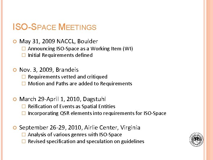
ISO-SPACE MEETINGS May 31, 2009 NACCL, Boulder � � Nov. 3, 2009, Brandeis � � Requirements vetted and critiqued Motion and Paths are added to Requirements March 29 -April 1, 2010, Dagstuhl � � Announcing ISO-Space as a Working Item (WI) Initial Requirements defined Reification of Events as Spatial Entities Incorporating QSR elements into requirements for ISO-Space September 26 -29, 2010, Airlie Center, Virginia � � Analysis of various genres with ISO-Space Revised specification and speculation on guidelines
APPLICATIONS AND TASKS FOR ISO-SPACE Building a spatial map of objects relative to one another. Reconstructing spatial information associated with a sequence of events. Determining object location given a verbal description. Translating viewer-centric verbal descriptions into other relative descriptions or absolute coordinate descriptions. Constructing a route given a route description. Constructing a spatial model of an interior or exterior space given a verbal description. Integrating spatial descriptions with information from other media.
GOAL OF ISO-SPACE Capture the complex constructions of spatial language in text Provide an inventory of how spatial information is presented in natural language ISO-Space is not designed to provide a formalism that fully represents the complexity of spatial language
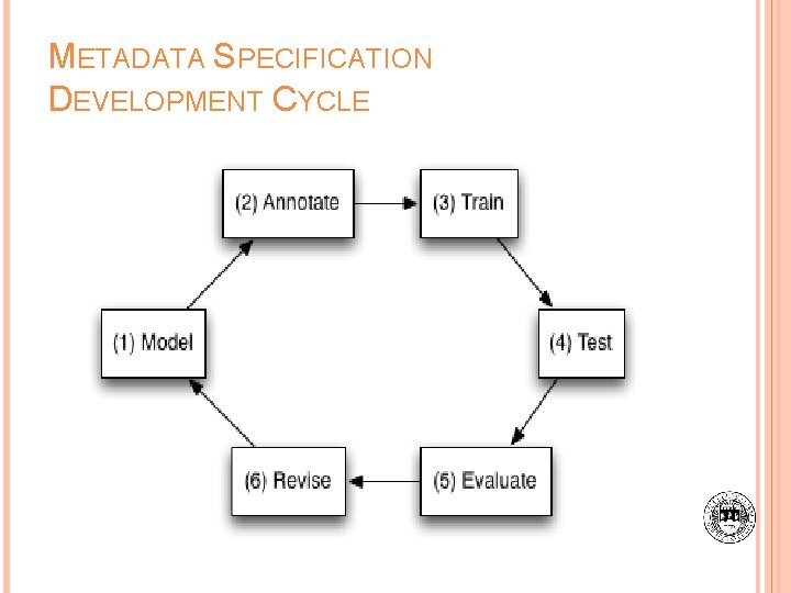
METADATA SPECIFICATION DEVELOPMENT CYCLE
SEMANTIC REQUIREMENTS FOR ANNOTATION Fundamental distinction between the concepts of annotation and representation � Based on ISO CD 24612 Language resource management - Linguistic Annotation Framework (Ide and Romary, 2004) Distinguish between abstract syntax and concrete syntax � Concrete Syntax XML encoding � Abstract Syntax Conceptual inventory and a set of syntactic rules defining the combination of these elements
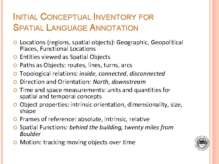
INITIAL CONCEPTUAL INVENTORY FOR SPATIAL LANGUAGE ANNOTATION Locations (regions, spatial objects): Geographic, Geopolitical Places, Functional Locations Entities viewed as Spatial Objects Paths as Objects: routes, lines, turns, arcs Topological relations: inside, connected, disconnected Direction and Orientation: North, downstream Time and space measurements: units and quantities for spatial and temporal concepts Object properties: intrinsic orientation, dimensionality, size, shape Frames of reference: absolute, intrinsic, relative Spatial Functions: behind the building, twenty miles from Boulder Motion: tracking moving objects over time
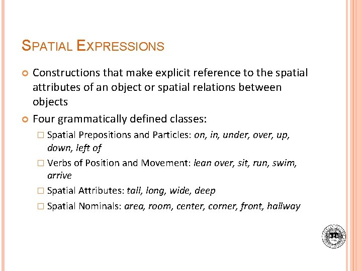
SPATIAL EXPRESSIONS Constructions that make explicit reference to the spatial attributes of an object or spatial relations between objects Four grammatically defined classes: � Spatial Prepositions and Particles: on, in, under, over, up, down, left of � Verbs of Position and Movement: lean over, sit, run, swim, arrive � Spatial Attributes: tall, long, wide, deep � Spatial Nominals: area, room, center, corner, front, hallway
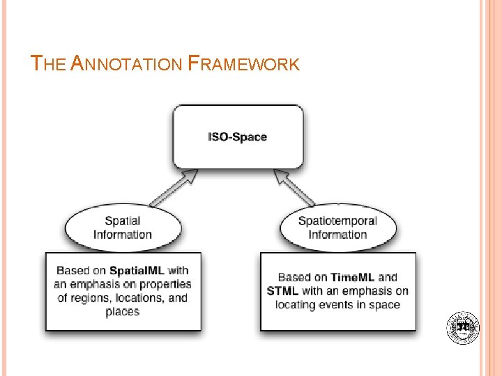
THE ANNOTATION FRAMEWORK
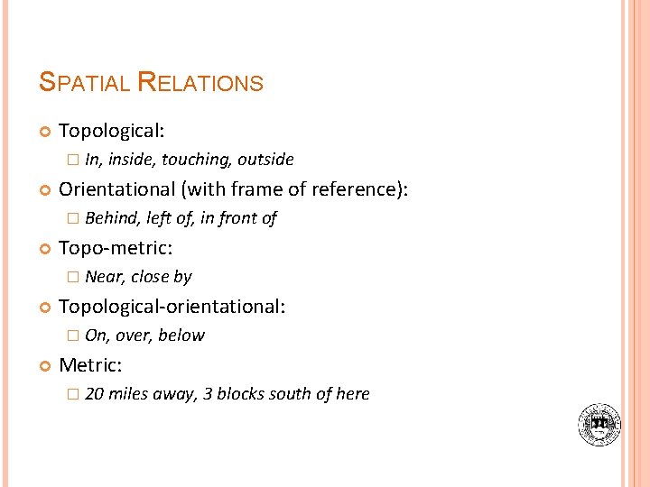
SPATIAL RELATIONS Topological: � In, inside, touching, outside Orientational (with frame of reference): � Behind, left of, in front of Topo-metric: � Near, close by Topological-orientational: � On, over, below Metric: � 20 miles away, 3 blocks south of here
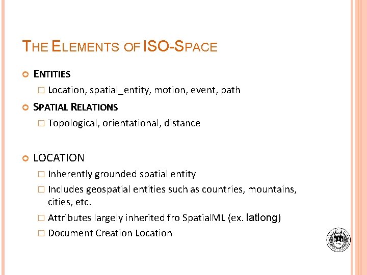
THE ELEMENTS OF ISO-SPACE ENTITIES � Location, spatial_entity, motion, event, path SPATIAL RELATIONS � Topological, orientational, distance LOCATION � Inherently grounded spatial entity � Includes geospatial entities such as countries, mountains, cities, etc. � Attributes largely inherited fro Spatial. ML (ex. latlong) � Document Creation Location
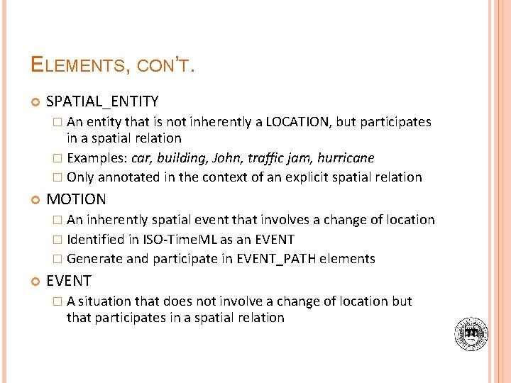
ELEMENTS, CON’T. SPATIAL_ENTITY � An entity that is not inherently a LOCATION, but participates in a spatial relation � Examples: car, building, John, traffic jam, hurricane � Only annotated in the context of an explicit spatial relation MOTION � An inherently spatial event that involves a change of location � Identified in ISO-Time. ML as an EVENT � Generate and participate in EVENT_PATH elements EVENT � A situation that does not involve a change of location but that participates in a spatial relation
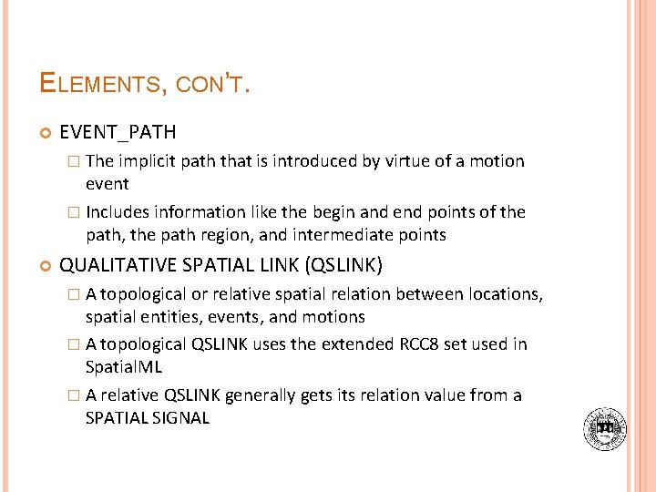
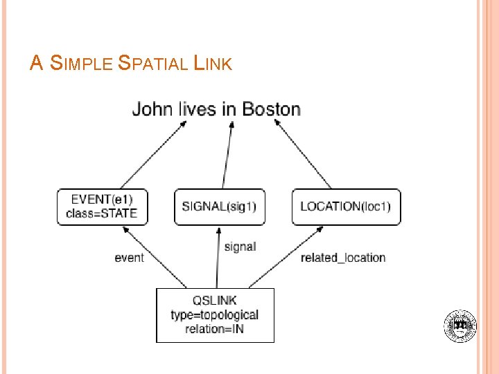
ELEMENTS, CON’T. EVENT_PATH � The implicit path that is introduced by virtue of a motion event � Includes information like the begin and end points of the path, the path region, and intermediate points QUALITATIVE SPATIAL LINK (QSLINK) � A topological or relative spatial relation between locations, spatial entities, events, and motions � A topological QSLINK uses the extended RCC 8 set used in Spatial. ML � A relative QSLINK generally gets its relation value from a SPATIAL SIGNAL
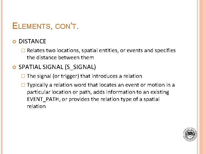
ELEMENTS, CON’T. DISTANCE � Relates two locations, spatial entities, or events and specifies the distance between them SPATIAL SIGNAL (S_SIGNAL) � The signal (or trigger) that introduces a relation � Typically a relation word that locates an event or motion in a particular location or path, adds information to an existing EVENT_PATH, or provides the relation type of a spatial relation
A SIMPLE SPATIAL LINK
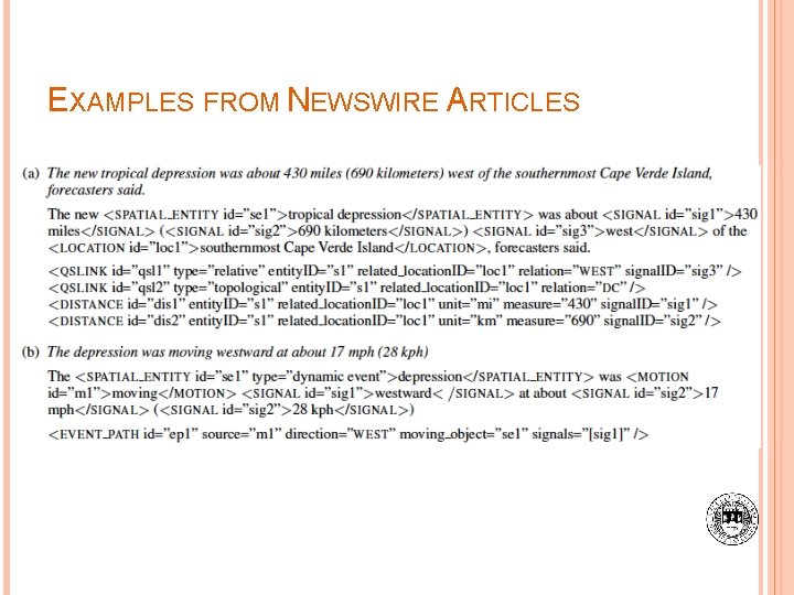
EXAMPLES FROM NEWSWIRE ARTICLES
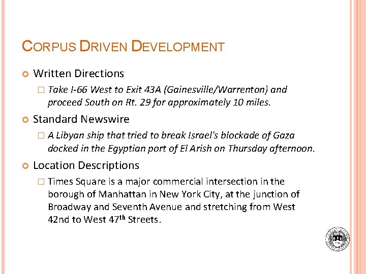
CORPUS DRIVEN DEVELOPMENT Written Directions � Take I-66 West to Exit 43 A (Gainesville/Warrenton) and proceed South on Rt. 29 for approximately 10 miles. Standard Newswire � A Libyan ship that tried to break Israel's blockade of Gaza docked in the Egyptian port of El Arish on Thursday afternoon. Location Descriptions � Times Square is a major commercial intersection in the borough of Manhattan in New York City, at the junction of Broadway and Seventh Avenue and stretching from West 42 nd to West 47 th Streets.
CORPUS DRIVEN DEVELOPMENT, CON’T. Interior Descriptions � Sitting on the top of the bookcase farthest from you is a potted plant that hangs down almost to the floor. Travel Blogs � After spending a night with a family in Managua, my father and I biked for two days and then took a boat out to a volcanic island in the middle of Lake Nicaragua, Central Americas largest lake.
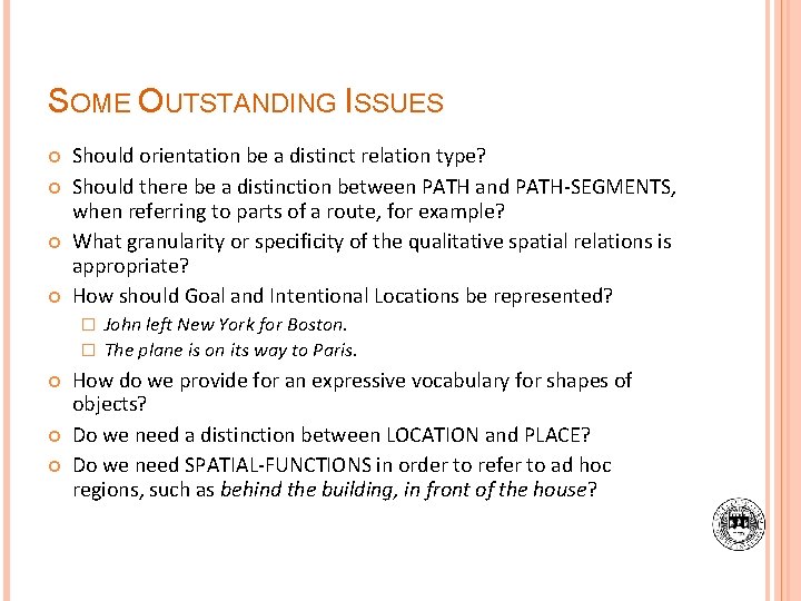
SOME OUTSTANDING ISSUES Should orientation be a distinct relation type? Should there be a distinction between PATH and PATH-SEGMENTS, when referring to parts of a route, for example? What granularity or specificity of the qualitative spatial relations is appropriate? How should Goal and Intentional Locations be represented? John left New York for Boston. � The plane is on its way to Paris. � How do we provide for an expressive vocabulary for shapes of objects? Do we need a distinction between LOCATION and PLACE? Do we need SPATIAL-FUNCTIONS in order to refer to ad hoc regions, such as behind the building, in front of the house?