In CORS INDIANAS STATEWIDE GNSSGPS REAL TIME NETWORK

- Slides: 32
In. CORS INDIANA’S STATEWIDE GNSS-GPS REAL TIME NETWORK Presented by Eric N Banschbach, PLS Land & Aerial Survey Office 97 th Annual Purdue Road School March 9, 2011
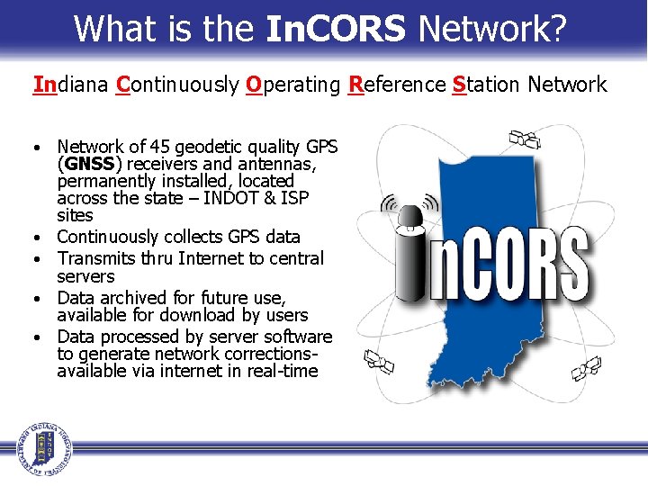
What is the In. CORS Network? Indiana Continuously Operating Reference Station Network • • • Network of 45 geodetic quality GPS (GNSS) receivers and antennas, permanently installed, located across the state – INDOT & ISP sites Continuously collects GPS data Transmits thru Internet to central servers Data archived for future use, available for download by users Data processed by server software to generate network correctionsavailable via internet in real-time
Benefits of an RTN • Eliminates need for user to setup local base station • Allows mitigation of systematic errors −Modeling atmospheric & orbital corrections −Increases Positional Accuracies • Strong redundancy in the network because of the use of multiple reference stations • Robust against single reference station failure −Hardware or Communications failures • Monitors its own integrity and can detect problem with reference station
Benefits of an RTN • Accuracies of computed rover positions are more homogeneous • Accuracy is maintained over larger distances between reference station and rover • Operational range from short baseline lengths increased to long baseline lengths • Capable of survey grade accuracies (cm/sub-cm) • Provides consistent established reference coordinate frame • Supports multiple rover users and applications AG, Machine Control, GIS, Resource Mngt, and more
Advantages of RTN Surveying • Reduction in staff-hours and equipment = Cost Savings −Only requires a rover receiver system −Eliminates time for site selection −(Daily) set-up time required −Security concerns - No baby-sitting base station −Power supply issues −Increased speed of initialization time over long distances • Avoids common errors in local base station setup −Set up on wrong station −Incorrect coordinates entered for base −Incorrect antenna height measurement −Incorrect antenna type selected for processing −Inadvertent movement or disturbance − (wind, bumped, etc) −Interference with signal −multipath
Components of the In. CORS Network
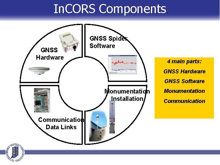
In. CORS Components GNSS Hardware GNSS Spider Software 4 main parts: GNSS Hardware GNSS Software Monumentation Installation Communication Data Links Monumentation Communication
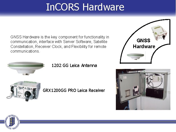
In. CORS Hardware GNSS Hardware is the key component for functionality in communication, interface with Server Software, Satellite Constellation, Receiver Clock, and Flexibility for remote communications. 1202 GG Leica Antenna GRX 1200 GG PRO Leica Receiver GNSS Hardware
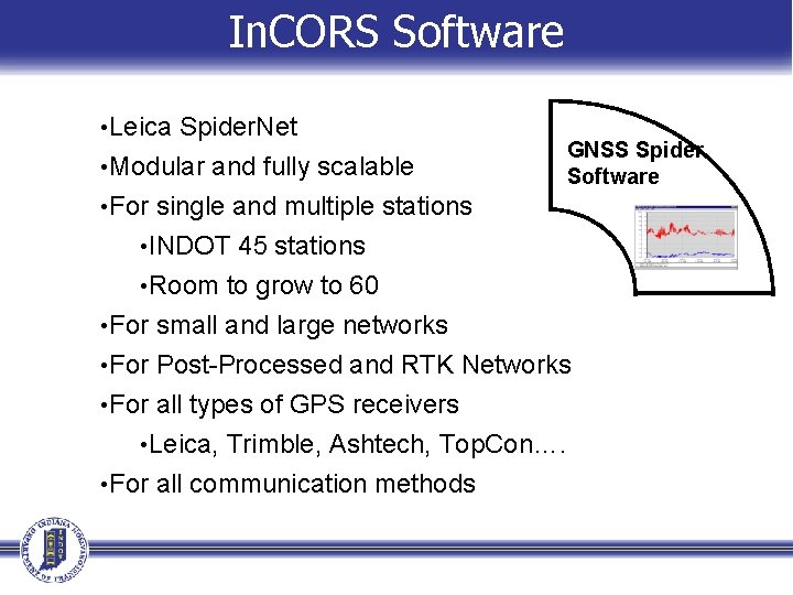
In. CORS Software • Leica Spider. Net • Modular and fully scalable GNSS Spider Software • For single and multiple stations • INDOT 45 stations • Room to grow to 60 • For small and large networks • For Post-Processed and RTK Networks • For all types of GPS receivers • Leica, Trimble, Ashtech, Top. Con…. • For all communication methods
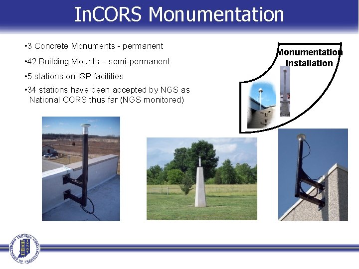
In. CORS Monumentation • 3 Concrete Monuments - permanent • 42 Building Mounts – semi-permanent • 5 stations on ISP facilities • 34 stations have been accepted by NGS as National CORS thus far (NGS monitored) Monumentation Installation
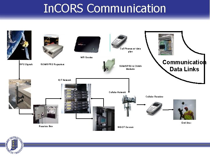
In. CORS Communication Cell Phones w/ data plan Mi. Fi Device GPS Signals GSM/GPRS Repeaters GSM/GPRS & CDMA Modems Communication Data Links IOT Network Antenna Cellular Network Cellular Receiver End User Receiver Box INDOT Servers
In. CORS Network Details
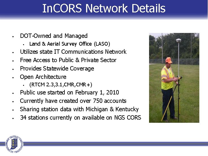
In. CORS Network Details • DOT-Owned and Managed • • • Utilizes state IT Communications Network Free Access to Public & Private Sector Provides Statewide Coverage Open Architecture • • • Land & Aerial Survey Office (LASO) (RTCM 2. 3, 3. 1, CMR+) Public use started on February 1, 2010 Currently have created over 750 accounts Sharing station data with Michigan & Kentucky 34 stations currently on available on NGS CORS
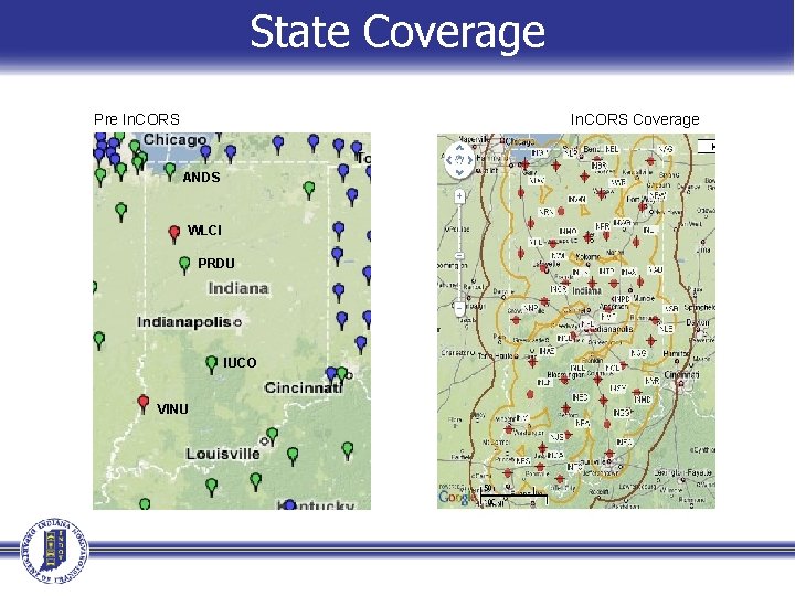
State Coverage Pre In. CORS Coverage ANDS WLCI PRDU IUCO VINU
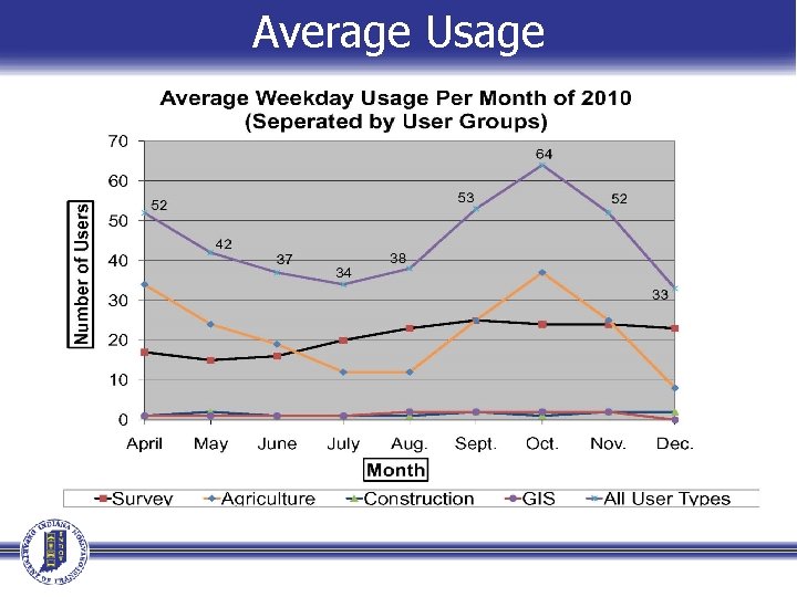
Average Usage
Website Information
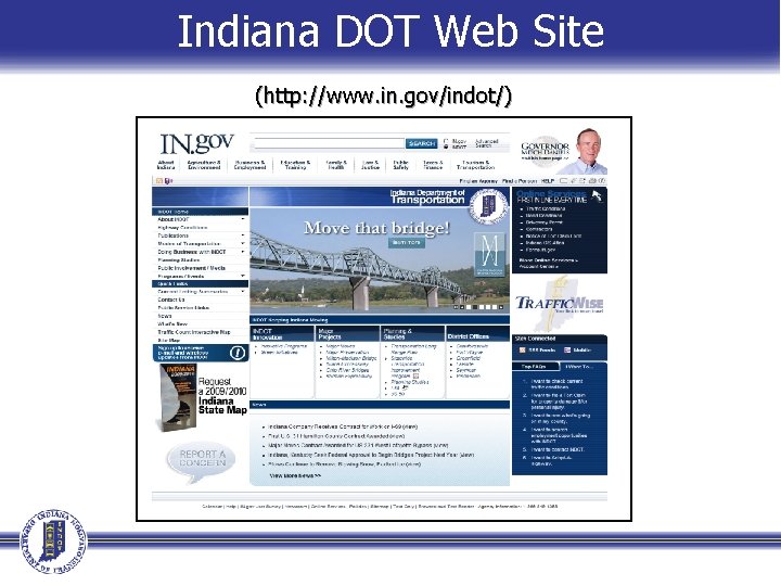
Indiana DOT Web Site (http: //www. in. gov/indot/)
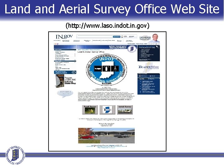
Land Aerial Survey Office Web Site (http: //www. laso. indot. in. gov)
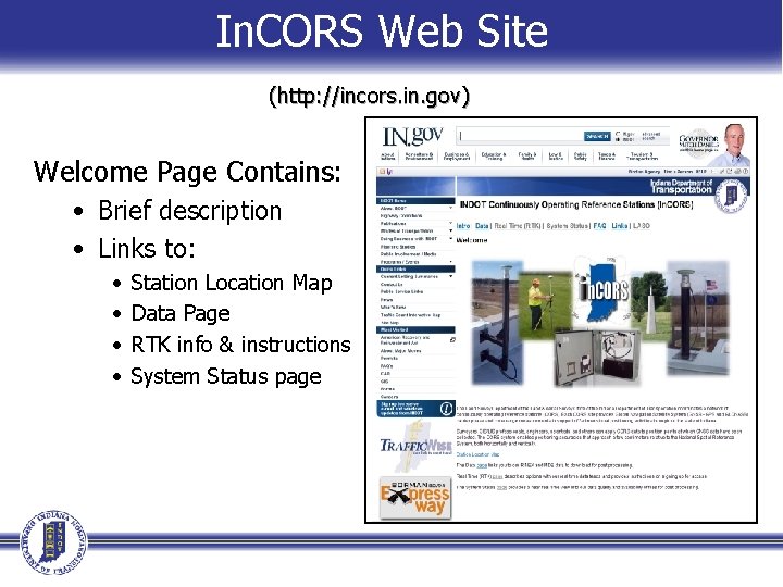
In. CORS Web Site (http: //incors. in. gov) Welcome Page Contains: • Brief description • Links to: • • Station Location Map Data Page RTK info & instructions System Status page
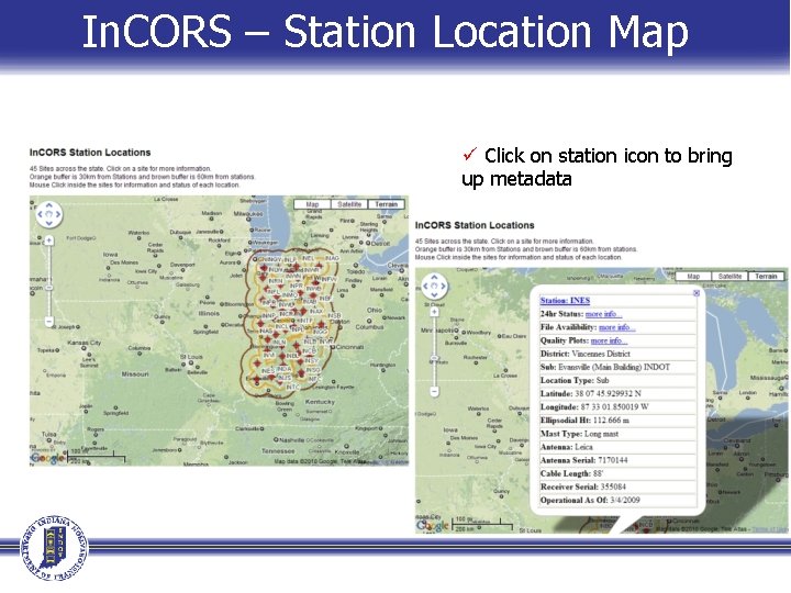
In. CORS – Station Location Map ü Click on station icon to bring up metadata
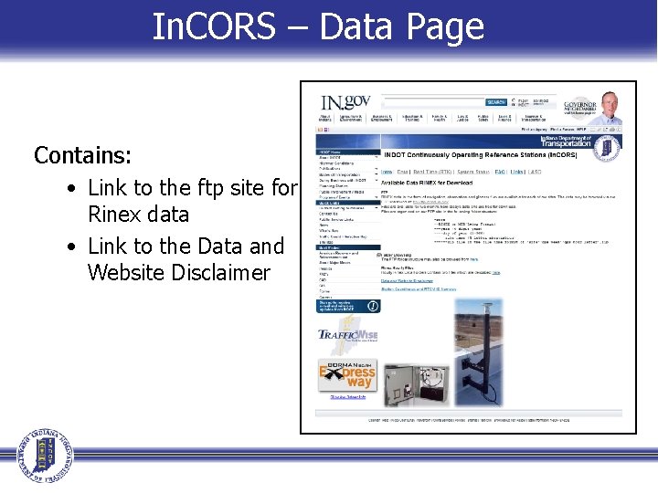
In. CORS – Data Page Contains: • Link to the ftp site for Rinex data • Link to the Data and Website Disclaimer
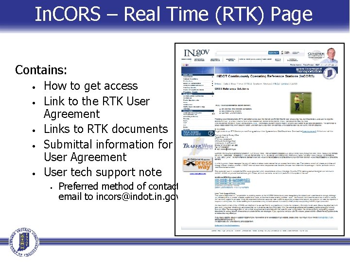
In. CORS – Real Time (RTK) Page Contains: • • • How to get access Link to the RTK User Agreement Links to RTK documents Submittal information for User Agreement User tech support note • Preferred method of contact: email to incors@indot. in. gov
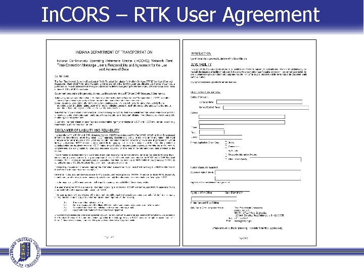
In. CORS – RTK User Agreement
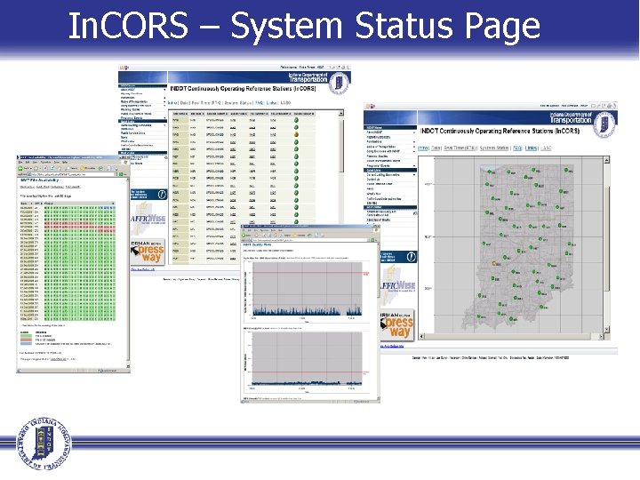
In. CORS – System Status Page
In. CORS Network Broadcast Corrections
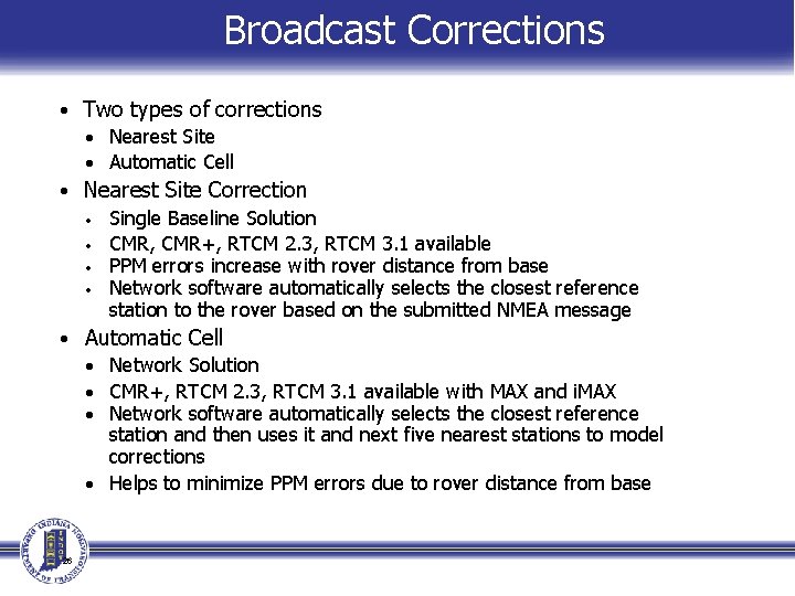
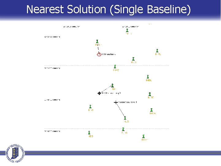
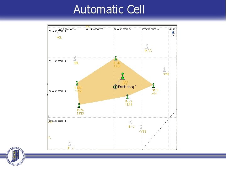
Broadcast Corrections • Two types of corrections • Nearest Site • Automatic Cell • Nearest Site Correction • Single Baseline Solution • CMR, CMR+, RTCM 2. 3, RTCM 3. 1 available • PPM errors increase with rover distance from base • Network software automatically selects the closest reference station to the rover based on the submitted NMEA message • Automatic Cell • Network Solution • CMR+, RTCM 2. 3, RTCM 3. 1 available with MAX and i. MAX • Network software automatically selects the closest reference station and then uses it and next five nearest stations to model corrections • Helps to minimize PPM errors due to rover distance from base 26
Nearest Solution (Single Baseline)
Automatic Cell
NGS National CORS
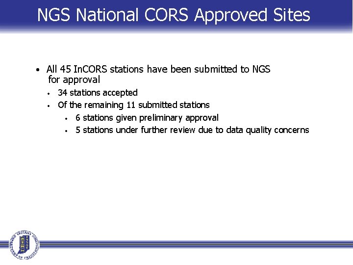
NGS National CORS Approved Sites • All 45 In. CORS stations have been submitted to NGS for approval • • 34 stations accepted Of the remaining 11 submitted stations • 6 stations given preliminary approval • 5 stations under further review due to data quality concerns
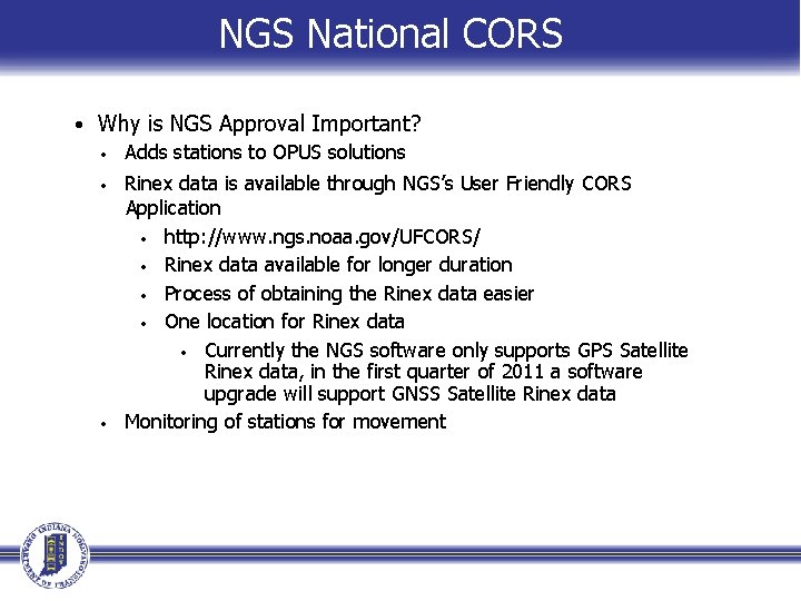
NGS National CORS • Why is NGS Approval Important? • Adds stations to OPUS solutions • Rinex data is available through NGS’s User Friendly CORS Application • http: //www. ngs. noaa. gov/UFCORS/ • Rinex data available for longer duration • Process of obtaining the Rinex data easier • One location for Rinex data • Currently the NGS software only supports GPS Satellite Rinex data, in the first quarter of 2011 a software upgrade will support GNSS Satellite Rinex data • Monitoring of stations for movement
Contact Information For Questions/Issues e-mail: • incors@indot. in. gov • Eric Banschbach, PLS • • • Manager – Land & Aerial Survey Office ebanschbach@indot. in. gov 317 -610 -7251, ext. 205 • Derek Fuller, PLS • • Survey Program Coordinator In. CORS Administrator dfuller@indot. in. gov 317 -610 -7251, ext. 293