Dawn Johnson NWS Reno NV Lead Forecaster Aviation

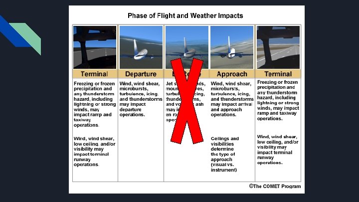
- Slides: 12
Dawn Johnson - NWS Reno, NV Lead Forecaster Aviation Program Manager Dawn. Johnson@noaa. gov IWAWS 2018 TAFs Strengths, Limitations. . . and other ways to get weather information
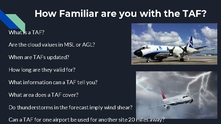
How Familiar are you with the TAF? What is a TAF? Are the cloud values in MSL or AGL? When are TAFs updated? How long are they valid for? What information can a TAF tell you? What area does a TAF cover? Do thunderstorms in the forecast imply wind shear? Can a TAF for one airport be used for another site 20 miles away?
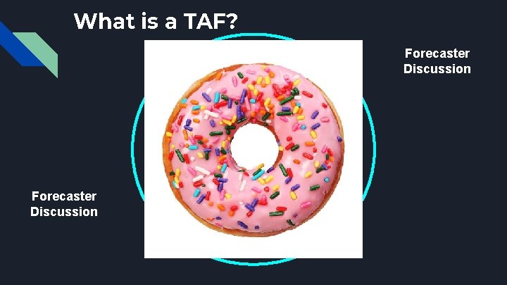
What is a TAF? Forecaster Discussion VC 5 -10 mi 0 -5 mi KXYZ Forecaster Discussion
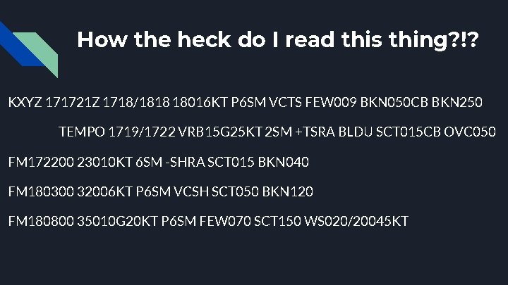
How the heck do I read this thing? !? KXYZ 171721 Z 1718/1818 18016 KT P 6 SM VCTS FEW 009 BKN 050 CB BKN 250 TEMPO 1719/1722 VRB 15 G 25 KT 2 SM +TSRA BLDU SCT 015 CB OVC 050 FM 172200 23010 KT 6 SM -SHRA SCT 015 BKN 040 FM 180300 32006 KT P 6 SM VCSH SCT 050 BKN 120 FM 180800 35010 G 20 KT P 6 SM FEW 070 SCT 150 WS 020/20045 KT
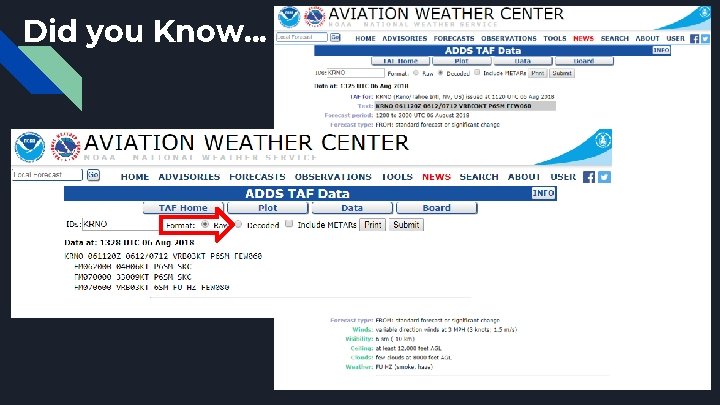
Did you Know. . .
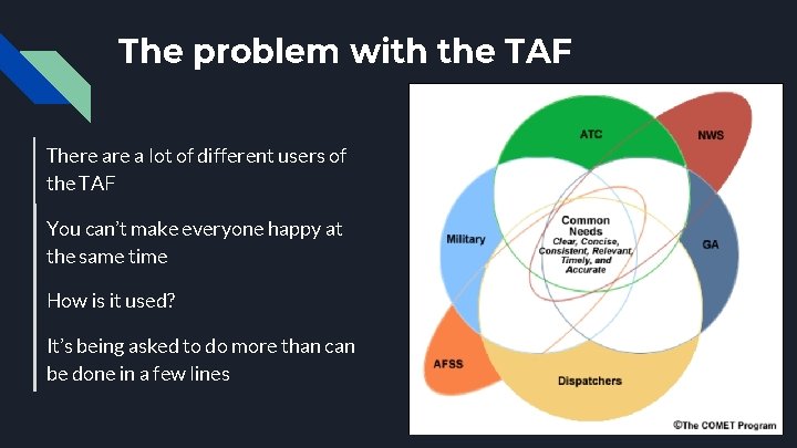
The problem with the TAF There a lot of different users of the TAF You can’t make everyone happy at the same time How is it used? It’s being asked to do more than can be done in a few lines
Strengths of a TAF Concise Similar coding to a METAR Local forecaster knowledge Commonly used tool Great for a general planning forecast Direct forecaster involvement
Limitations of the TAF Cannot put in confidence details Trends can be portrayed, but timing may be off No way to convey frozen precip accumulation Thunderstorm details Very localized Forecasters are limited by the length of the TAF Can’t include any density altitude info Direct forecaster involvement - unintended human filters
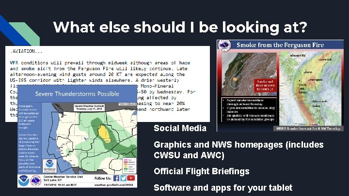
What else should I be looking at? Social Media Graphics and NWS homepages (includes CWSU and AWC) Official Flight Briefings Software and apps for your tablet